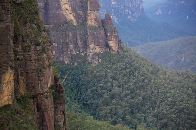
I had recently visited the Upper Grose Valley. This was on a trip early in June. On that trip – the weather was not very kind. Almost continual rain meant that photography was very challenging. So I went back this week. I went solo with photography being a prime objective.
I walked out on Tuesday afternoon to the lookout above Victoria Falls. This takes about 90 minutes from Mt Victoria Station. I camped at the lookout. There is a water tank there – but it has no tap. Luckily I had carried some water!
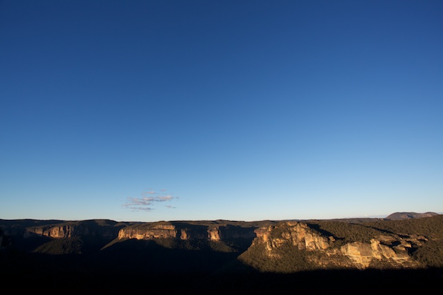
The sunset from the lookout was nice – but not as good as I had hoped. I think there may be greater photographic opportunities out on the nearby Asgard Head – which should give a view looking right down the Grose Valley.
The night was quite cool – the temperature got down to 2°C and there was a fair bit of wind chill. Sunrise was also nice but not great.
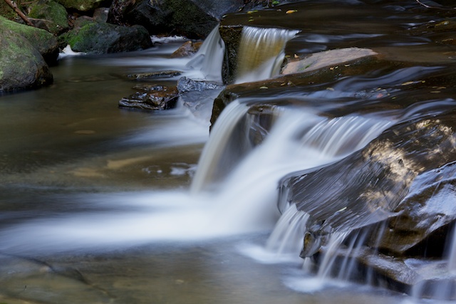
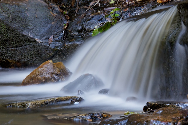
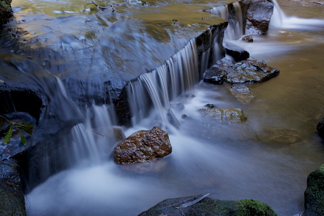
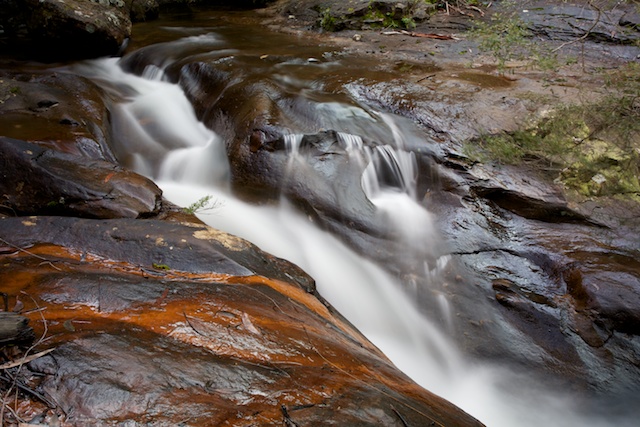
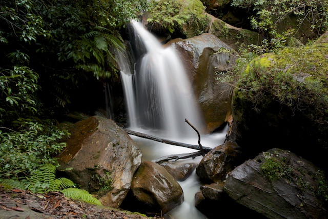
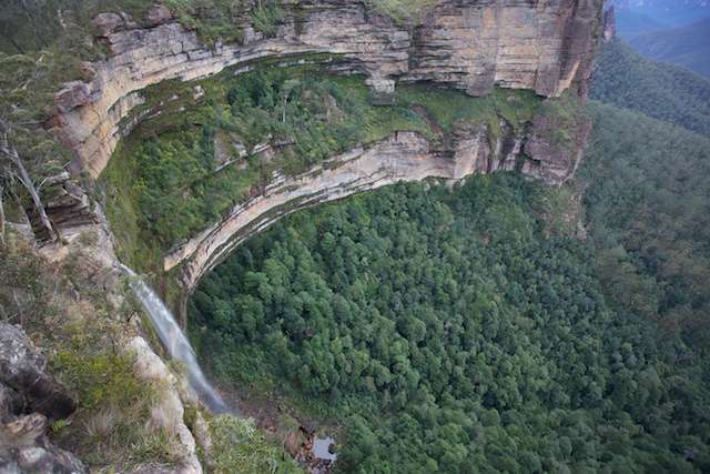
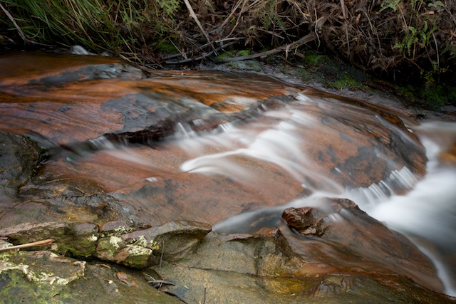
After a cold start, I set off down the track for Victoria Falls. The main fall is quite impressive but hard to photograph well. I concentrated my efforts (like on the previous visit) on the small cascades just downstream. These small waterfalls are really very beautiful and demand attention.
Then it was off down the track to Burra Korain Flat and the Grose River. Despite some photo-pfaffing stops, I made quite good time, reaching Blue Gum Forest for a late lunch.
The track down the river is easy to follow and a pleasant walk. As well as 2 campsites at Burra Korain, there are also other campsites along the river. Rather than drink water directly from the river, it is better to get it from good side creeks. Crayfish Creek, the first side creek crossed below Burra Korain is one such creek. Its catchment is pristine. It is not far from there to the next creek – Hat Hill Creek (and half way between them is a nice campsite). Hat Hill Creek used to be very polluted by sewage. The plant has now closed down, but there are still houses in the upper catchment.
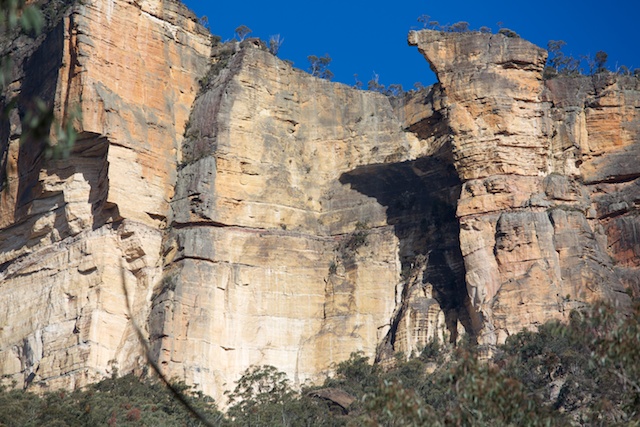
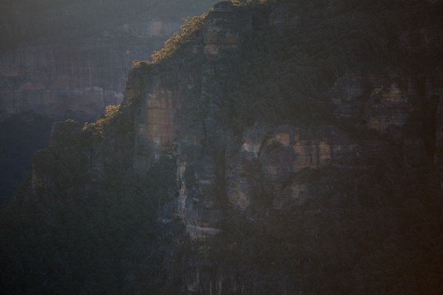
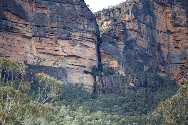
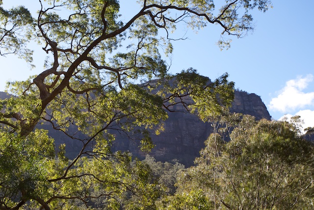
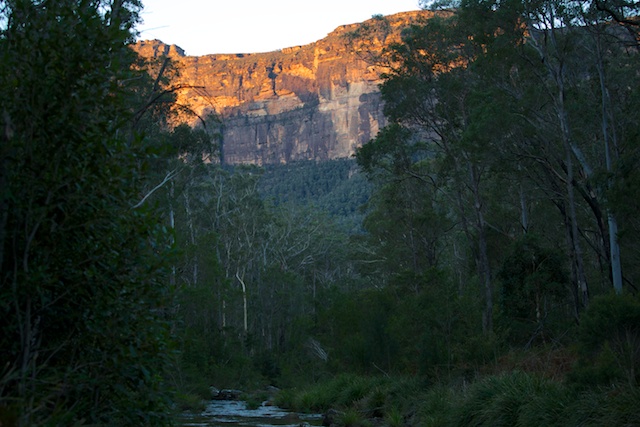
Constantly, the mighty Grose cliffs tower overhead. Familiar places. Canyons and rock climbs. It is good to pause and seek out climbing routes or to just admire the bluffs.
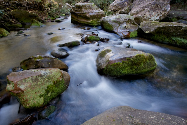
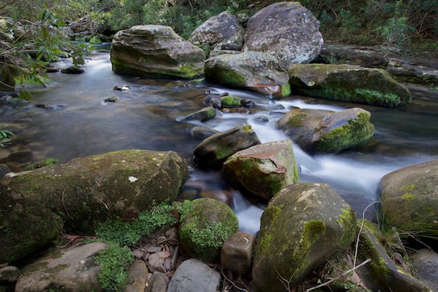
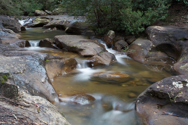
I rested at a campsite near the river, a little below the track. This was a short way upstream from the Pierces Pass track junction. Here, I photographed a nice set of rapids and noted a big clear pool just downstream – a good place for summer?
Below the Pierces junction lies the nice campsite of Little Blue Gum Forest. It is about 40 minutes walk from there to Blue Gum Forest itself. Good drinking water can be obtained from a small side creek just upstream of Blue Gum Forest. Once at Blue Gum, I made my way up Govetts Creek to Acacia Flat – the nearby campsite. This is a “fuel stove only” campsite. Water is obtained from a small creek a further 5-10 minutes along the track.
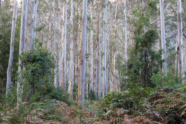
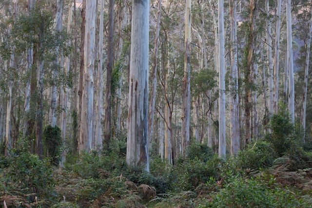
After setting up camp at Acacia Flat, I wandered back to Blue Gum Forest with my camera. I did this again the next morning. I was hoping for morning mist with soft sunlight filtering through. No luck this time! But the forest is truly magnificent.
My route out was different to previous visits. I went out along the track to Junction Rock and then up to Bridal Veil Falls and Govetts Leap. At the lookout I continued around the cliffs to Horseshoe Falls. I then went up the very nice Popes Glen on a good track. This takes you almost to the shops of Blackheath.
More photos can be viewed on my main website here.


