There was a King High Tide predicted for the morning of 3 January, so I cycled down to the Cooks River to see what would be flooded.
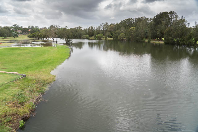
At the bridge cross the river at Wardell Road – I could see that the river had broken its bank and had flooded part of the golf course –
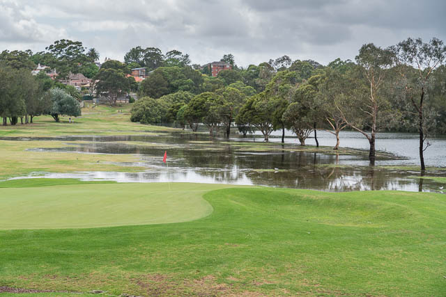
I then continued downstream along the cycleway. The high level was quite impressive.
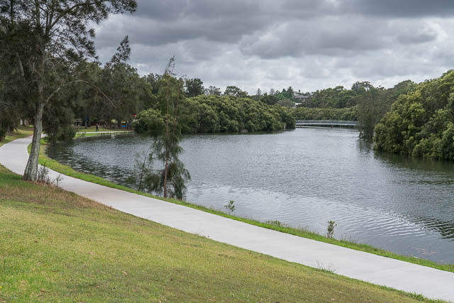
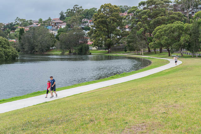

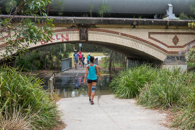
Further downstream where a large pipeline crosses the river, there was a fair bit of water over the cycleway.
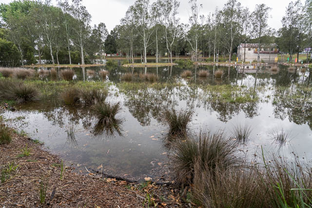
And the saltmarsh was full of water –
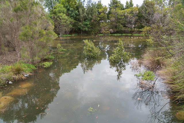
These artificial saltmarshes are designed to be only innunded during the very highest tides.
At the Billabong at Gough Whitlam Park – the water level was up to the bridge and the main platform. A smaller platform was submerged.
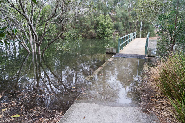

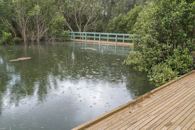
Then another flooded saltmarsh –
And the cycleway was well under water nearby. I had to deviate around a flooded area.
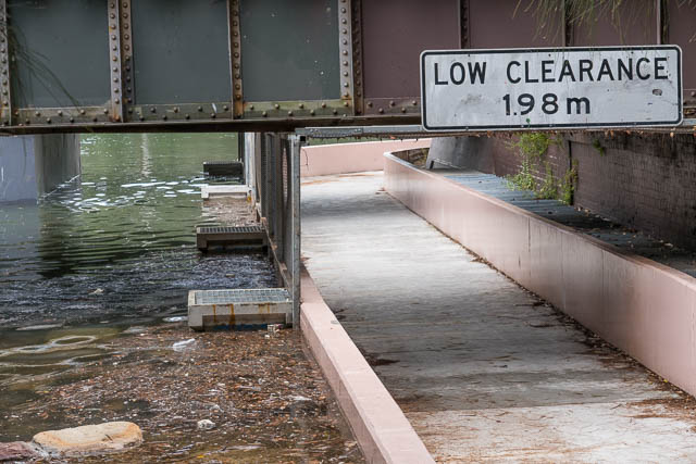
At Tempe Station, there had been some recent work on the cycleway under the railway line. It used to flood every high tide. The new work certainly kept this high tide out. The cycleway was well under (40 cm) the water level – and the high tide was about at its peak height.
Across the Princess Highway, Holbeach Avenue was flooded.
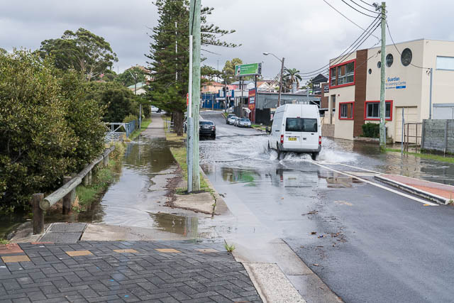
It seems that water had gone a fair way up the stormwater pipes and also flooded other roads nearby. This video shows the flooding quite well –
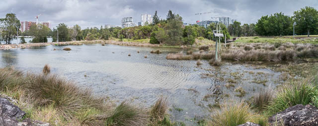
Last, the saltmarsh at Tempe Reserve –

Hi Dave,Did you taste hte floodwater? Was it salty in some cases? I presume yes because there wasn’t much of a river flow because of recent drought, unless the previous day rain was very large there, larger thn in my area close to Olympic Park.
BTW, the birdwatching walkway around OP, that you probably know, is regularly cloased because it’s so flooded as to be unsafe. Couple cm of SLR (in out lifetime I think) and it willbe closed so regularly that eventually we will retreat.
Didn’t realise that the river could get this high nowadays. Interesting page this!