This was a walk with Bob where we visited an obscure track that starts on the Shipley Plateau. It is described on Allan Wells Website on his Blackheath Page – walk number 11.
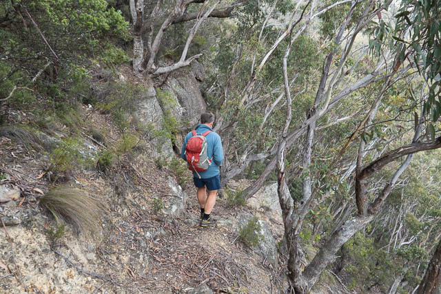
We started out on cold windy day on the track that leaves between the RFS Shipley Headquarters and “Waratah” property. As we walked towards the cliffs, we noticed several other tracks devoted off the track – but it was easy to follow the main track. It looked like these tracks are, or rather had been, used by mountain bikers.
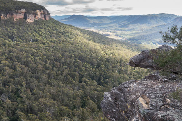
We soon arrived at Arthurs Lookout – a very short detour from the track onto a rock with fine views of the valley. From there the track descends down to the valley. Its not too steep as it was used at one time for horses. There was one switchback before you arrive at Blackheath Creek.

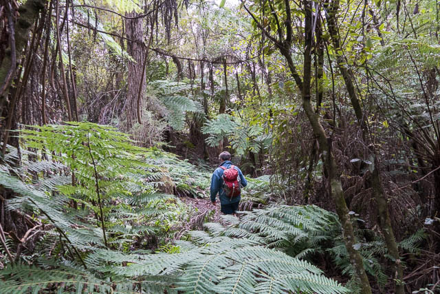
We crossed the creek and followed the track on the other side. We soon arrived at a campsite just off the Kanimbla Valley Road that leaves Shipley Plateau from near Mt Blackheath.
After a short break, we returned the same way.
We then headed out along the Shipley Plateau to Hargraves Lookout. This gives a fine view of country from Narrow Neck, The Wild Dog Mountains, Kanangra Walls and Mt Bindo. Past the lookout, a thin ridge of rock leads to another lookout – Panorama Point.
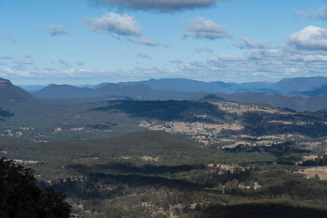

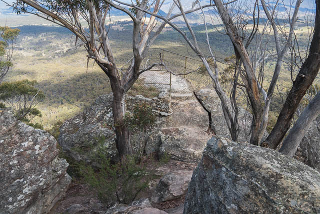
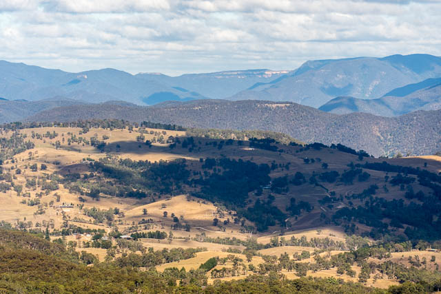

After this we headed to Mt Blackheath and Blackheath Lookout. It was too cold and windy to stay long. Nearby was a hang glider launch ramp.

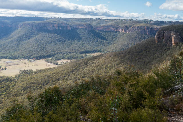
We then left the Plateau and drove back to the railway line and followed it north to the Mt Boyce Climbers Carpark. Bob had never been to the climbing area at Mt Boyce and was keen to see the cliffs. We followed one track out, then did a bit of a scrubby walk to another sector of the cliffs, then, after lunch came back via another climbers track.

More photos of the day are online here.
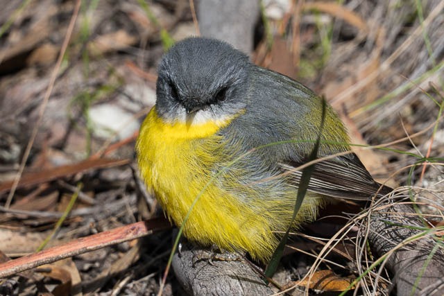

Love the photo of the Eastern Robin!