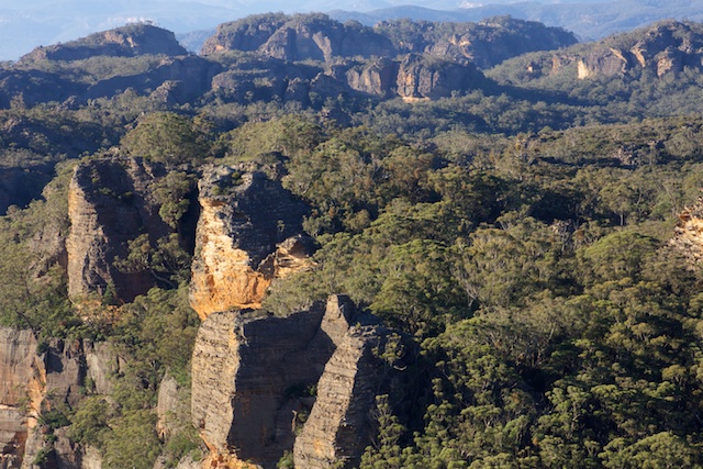
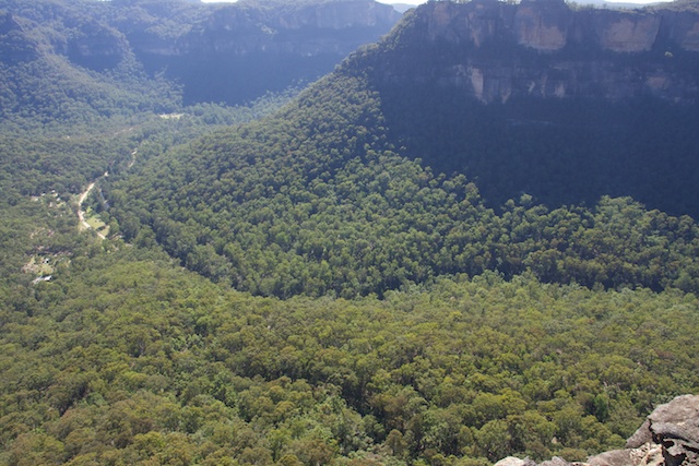
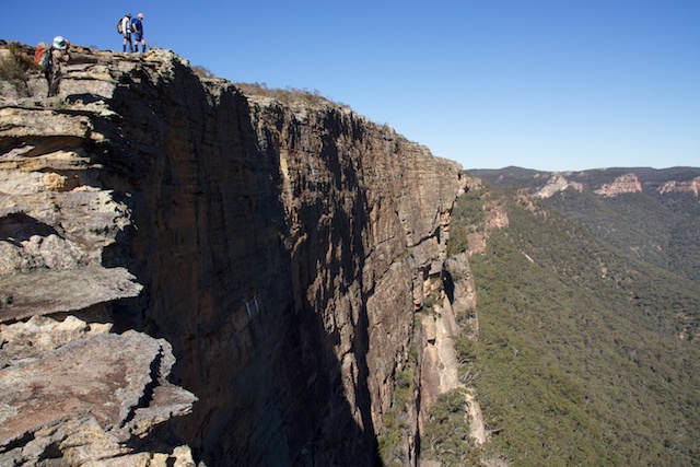
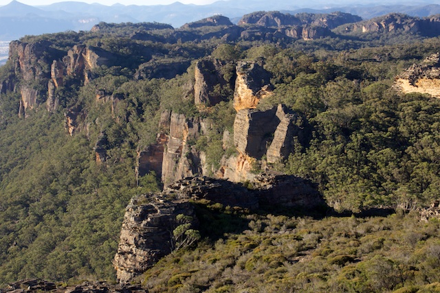
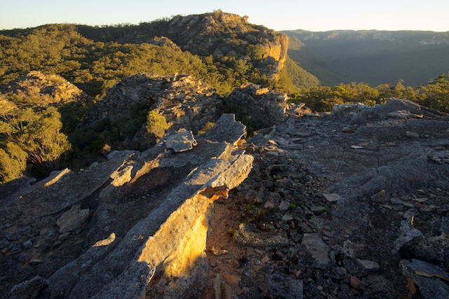
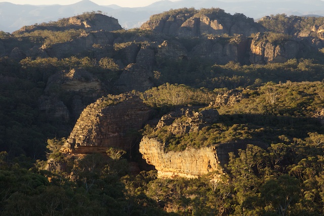
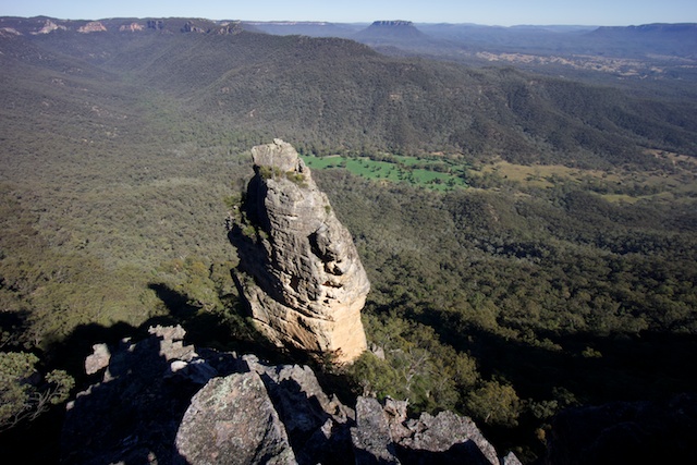
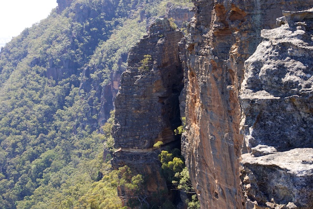
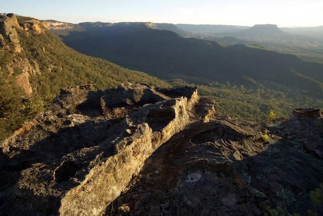
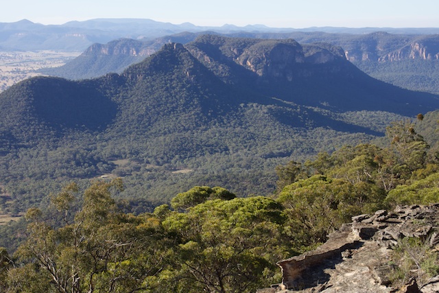
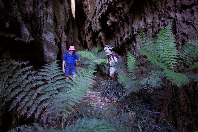
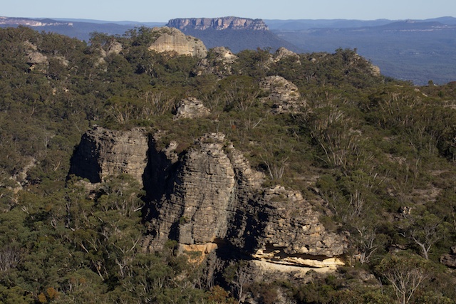
The Red Rocks is a geographical place name for the cliff line of the Capertee Valley between Mt Dawson along to Point Nicholson and then to Point Anderson. These cliffs generally face west, and so the massive sandstone bluffs are a magnificent red colour when viewed from along the Great Dividing Range further west. This contrasts to the much smaller outcrop of the Blue Rocks, limestone bluffs near Pantoneys Crown.
I take broader definitions for these colourful place names. I use the Blue Rocks for the area near or on the Wolgan – Capertee divide west of Hughes Defile and the Red Rocks for east of there to the Pipleline Track. Further east is denoted as the Mount Morgan Plateau.
This broader definition fits in nicely with where we walked over 4 days starting on Anzac day and extending then next three days.
Our walk was organised by Dave Williams, and he was joined by Su Li, Martin, Rob and Myself. This is an area I have walked in a lot and its one of my favourite places.
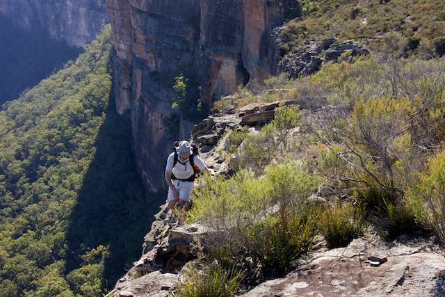
We started from near the Newnes Pub. We first scrambled up through the cliffs to a ridge south of the pub and then spent all the first day walking along a ridge to set up camp near Mt Dawson.
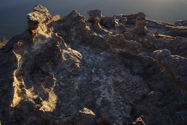
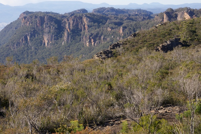
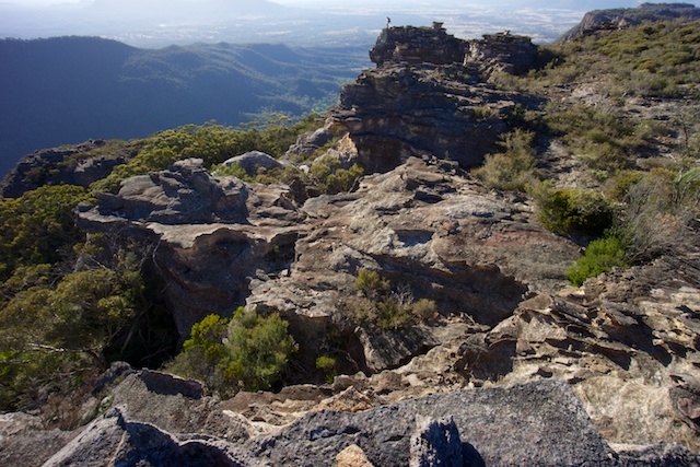
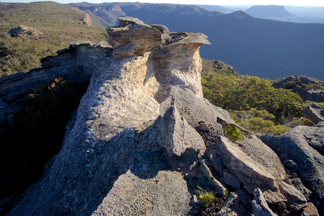
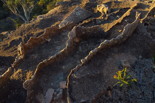
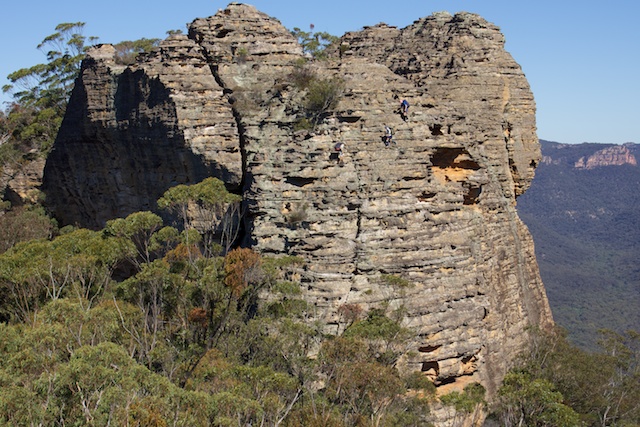
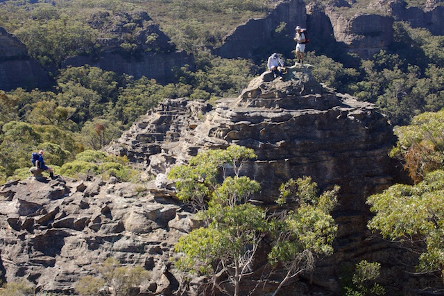
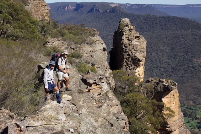
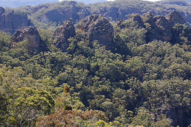
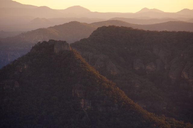
The ridge, was open at first and then really spectacular through a maze of pagodas. Surely some of the best pagodas around? The second part of the ridge was more closed in and scrubby.
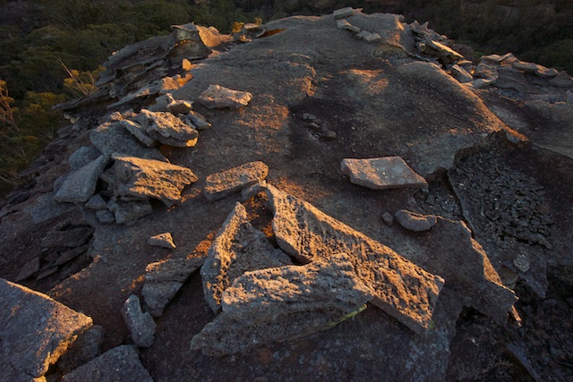
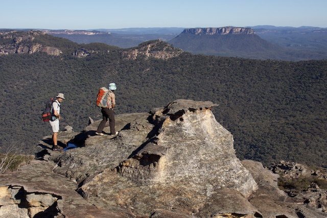
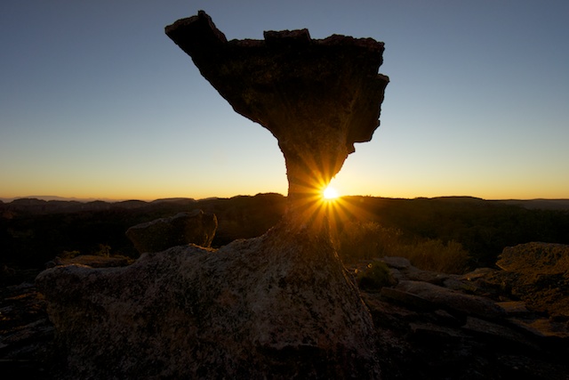
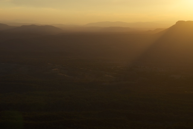
One highlight of walking in the Red Rocks are the camps. They are high camps. This means water often needs to be carried but the views from the campsites are so so good! Sunset and sunrise are often spectacular. Its well worth carrying a camera.
We did carry a fair bit of water with us. Most of us carried more than 2 litres. That would be sufficient for the first night but not for the next day or the rest of the walk. The small creek near our campsite was very dry. It has often been a reliable source of water of previous visits. Perseverance paid off when Dave W found a small, but good pool of water not far up a side branch.
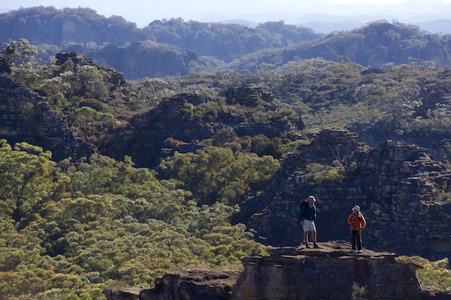
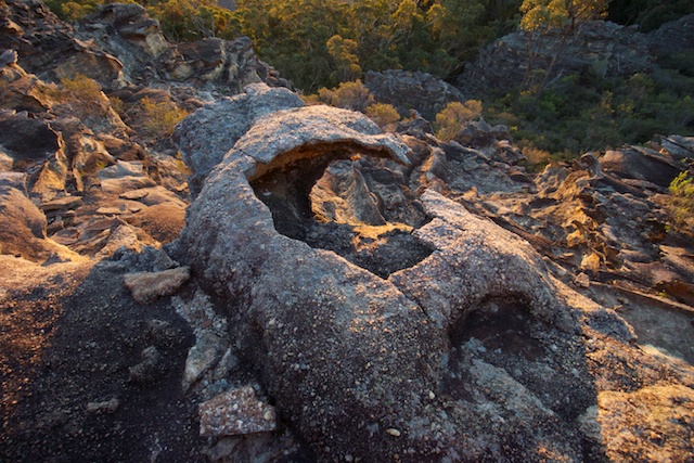
On the second day, we left our camp and set of with daypacks towards Collet Gap. We didn’t make it all the way there because we were often diverted by interesting and enchanting features along the way. The best place to walk is not on the ridge crest but closer to the Capertee Cliffs. These cliffs are quite amazing. In three places the cliffs seem to form a large concave dish shape.
We continued to a lookout overlooking Donkey Mountain in the Wolgan Valley and then returned the same way back to our camp.
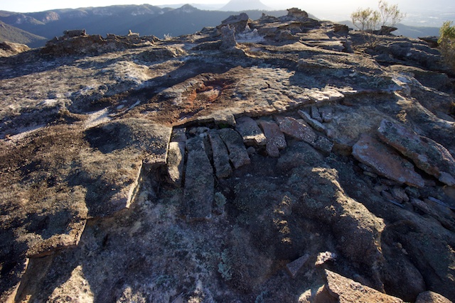
Dusk – more time spent wandering around on the tops of pagodas taking photos. Dawn – the same.
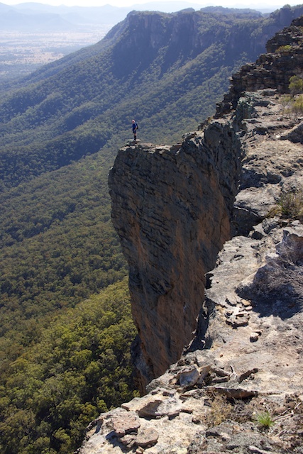
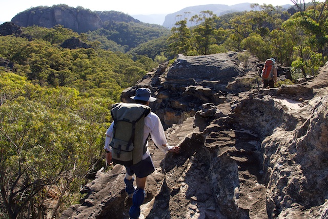
Day 3 saw us make our way along the Red Rocks proper to Point Nicholson. This is a short walk and quite easy if you are prepared to scramble. Very spectacular bushwalking!
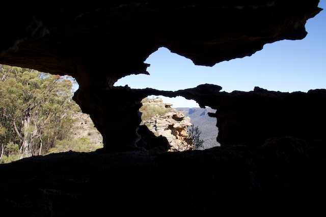
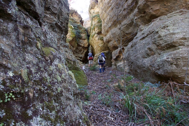
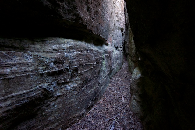
After lunch at our campsite at Point Nicholson, we spent the afternoon soaking up the views and exploring nearby canyons and cracks. Many of the pagodas are rent with crack type fissures that can be walked and scrambled through. Very interesting places to explore. Similar cracks can be found on Donkey Mountain and other places on the Wolgan – Capertee divide.
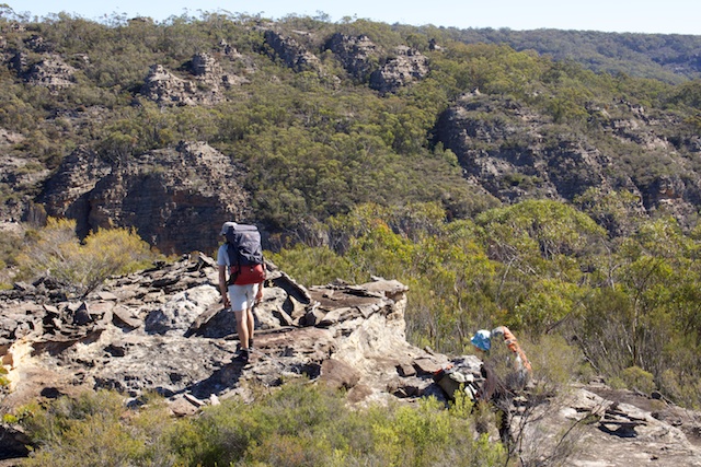
Our last day saw more ridge walking. This time we had to negotiate a series of chasms that cut through the plateau. More interesting walking and a good place to hone your route-finding skills. A convenient canyon provided a passage back into the valley and hen it was short walk back to the Newnes Pub.
More photos can be found on my website starting from this page.

