
I had long wanted to visit the lookouts on the east side of the Nepean Gorge. They were once place I had not been to. I have been to several lookout on the western side – The ones above Lapstone, Mt Portal and also Nepean View Lookout at the end of the Esrkine Creek fire trail.
I had suggested a trip there to Bob, and it had been on list of possible trips for a while. Now was the time to do it. We thought it would not take too long, so we also had some nearby places to visit – Bents Basin and Nortons Basin. As it turned out, Bents Basin was closed due to flood damage. So after the visit to the Nepean Lookouts, we went to Nortons Basin. This made for an interesting day.
We headed out to Mulgoa, and then went out along the Fairlight Road. The lookout were once part of the Fairlight Estate. They were added to Blue Mountains National Park in the late 1970’s. At the end of the road was a barrier and the entrance to the National Park.
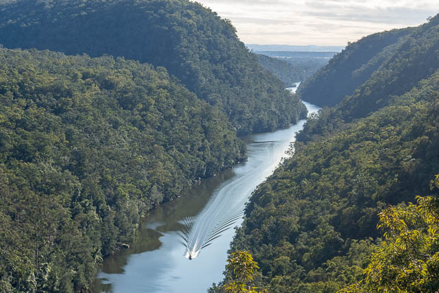
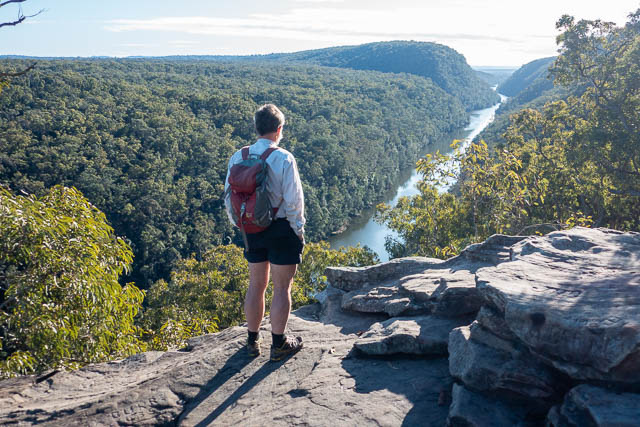
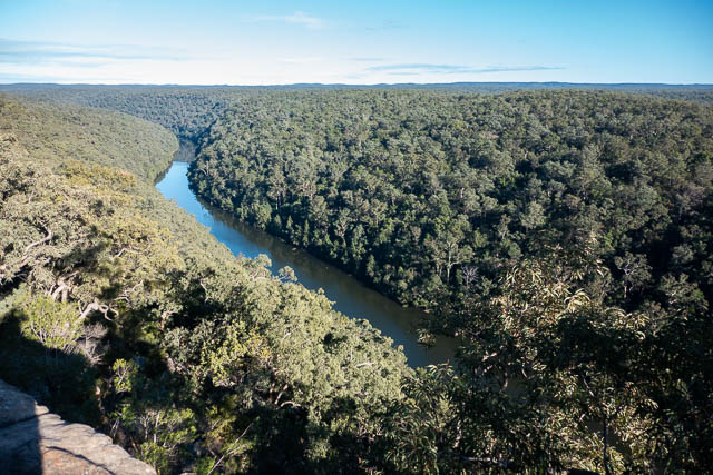
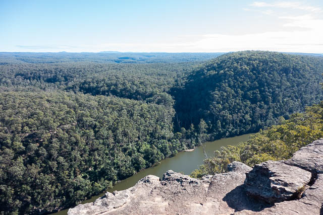
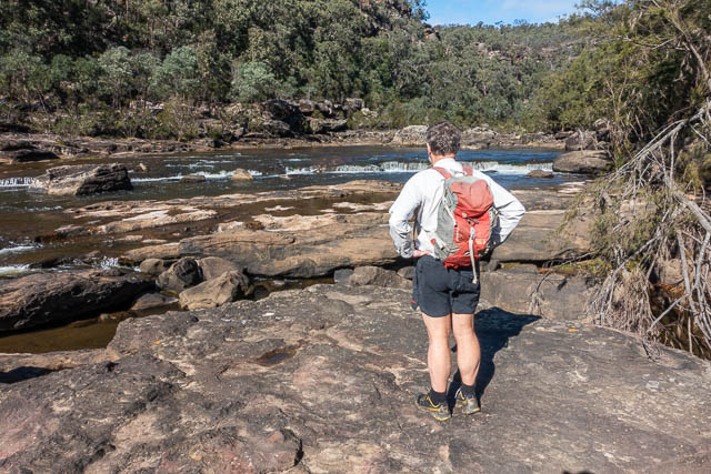
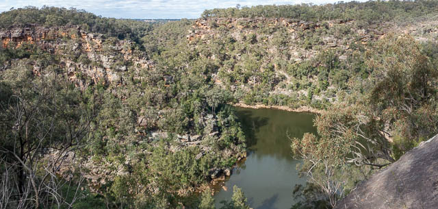
We first visited The Rock Lookout – which was only 150 m from the carpark. It is on an impressive rock bluff that you climb up onto. it had great views.
This area has very interesting geology. The river flows through flat farming country further upstream, then as the Blue Mountains was uplifted, the river was caught in the uplift and in consequence it has eroded the deep gorge.
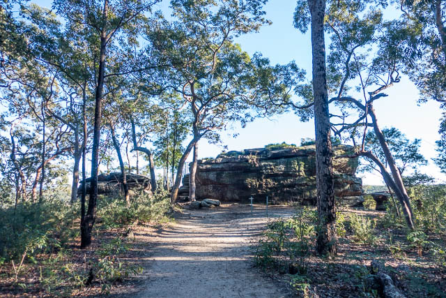
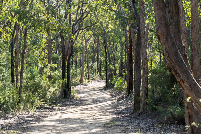
We visited some other nearby lookouts, but The Rock had the best view. Then we walked the 2.5 km to Rileys Mountain Lookout. This was a pleasant walk along fire roads through attractive forest.
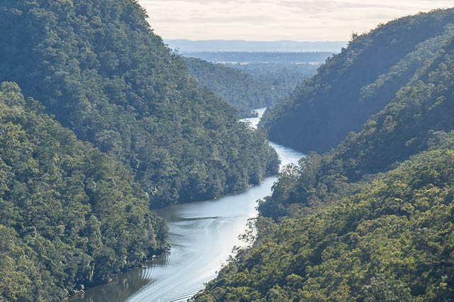
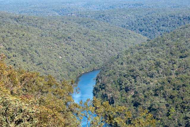
The view from Rileys Mountain Lookout was good, but not as good as from The Rock.
You could however, see the large depression of Euroka – formed from a diatreme. It is on the left of the photo below.
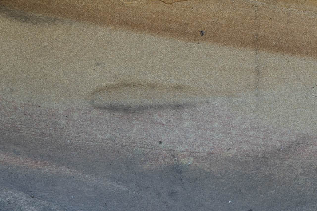
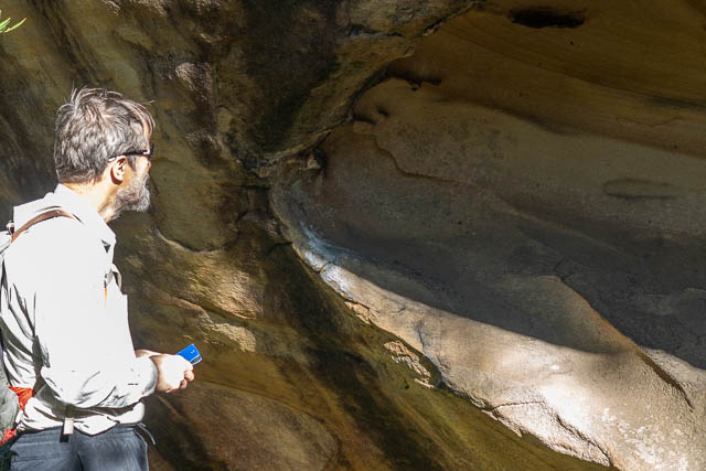
On the walk back, we carefully checked out the rock platform near the road for Aboriginal sites. We did find this groove which looks man made. But it was on the wall of a cave, not on a rock platform near a pool.
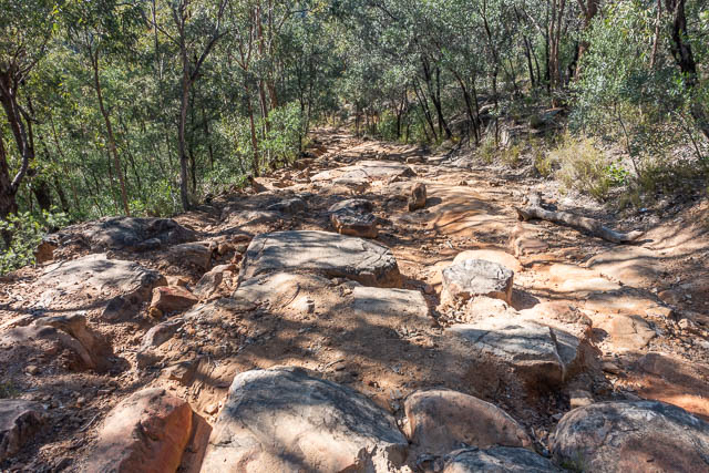
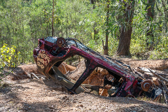
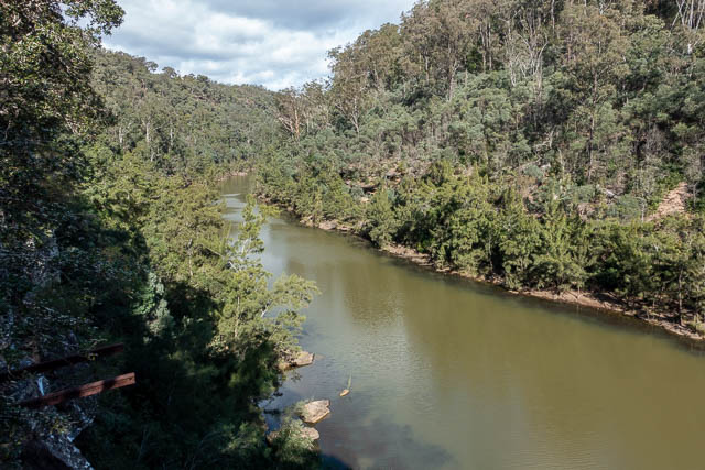
Back at Bob’s car, it was still quite early, so we drove to Nortons Basin. I had been here quite a few times for rock climbing. As well as rock climbing, and as a swimming spot, and perhaps fishing, it is also the site of a lot of broke glass, dumped rubbish and dumped stolen cars. A bit sad.
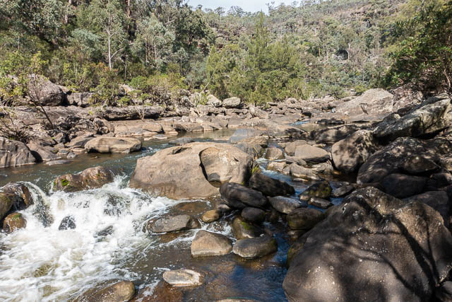
Nortons Basin is however, a very impressive feature. According to John Martyn’s excellent “Rocks and Trees”, it is the second largest diatreme in the Sydney Region. We walked down a rough road towards the river, then turned off down a steeper track to arrive at a bend in the river just sputter moo the man basin pool. Here are some nice rock platforms and small cascades.
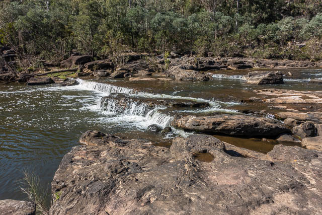
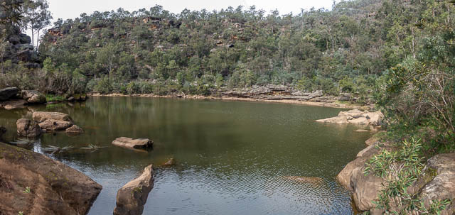
We then boulder hopped upstream for about 100 m to the big pool on the bend. This is not the main Nortons Basin, but perhaps a secondary diatreme.
After a break for lunch, we then went back downstream, and up the track back to the rough road. This rime we followed it around to the Warragamba River. Along the way are he remains of about 6 stolen cars.
We walked down to an old river gauge station. Here you can looks up the Warragamba River, but you cannot see the wall of Warrgamba Dam. it must be just around the corner.
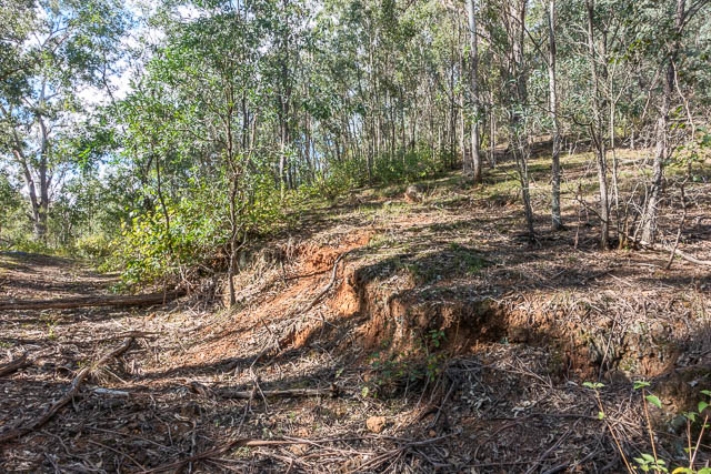
Walked back, we could see the volcanic soil from the diatreme –
Unfortunately there is a lot of lantana and other weeds around. We next followed a side road down to the pool at the junction of the Nepean and Warragamba Rivers.
On the way back to the carpark, we took a side track out to nice lookout. It is at the top of one of the climbing areas, and I could point out the descent chains to Bob. This lookout has the best views of the upstream pool.
Wow thanks for the great review. Much appreciated mate.