
Over a year ago, I had been on a trip with Bob, where we had tried unsuccessfully to negotiate a pass on the ridge near Spring Creek on Kings Tableland. On that trip we had tried to find the pass from the top – that was a big mistake, although we had no idea about this at the time. This time, with some new information, and joined by Doug, we were successful.
Our plan, which we followed exactly, was to park at the start of the Lion Head track, then walk out to Lions Head and descend a nearby pass known as Holbeach Descent. This would take us own to Spring Creek. Then we would cross the creek, and hopefully walk on terraces to the base of Spring Creek Ridge. Then we would climb the pass and then walk back across the very scrubby tops back to the Kings Tableland Road.
This whole area had been burnt out in the bushfires last summer, but it was not burnt as badly as other parts of the Blue Mountains.
We enjoyed beautiful weather as we walked out to Lions Head. On the way are some good vantage points which provide wonderful views of Mt Solitary and the Jamison and Kedumba Valleys.
On the way to to the headland, we passed the usual descent pass, which is marked with a large cairn. I can recall a logbook here, but it must have been burnt in the fires. This pass is very straightforward, but would be a longer walk for us for our planed trip.
We continued on the reach Lions Head. Note that present editions of the topographic maps mark this incorrectly.
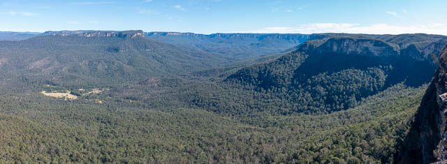
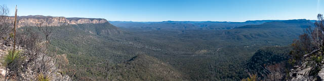
Here there are excellent views of the Kedumba Valley. We could even see all of the Three Peaks –
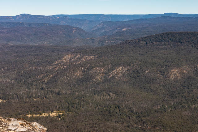
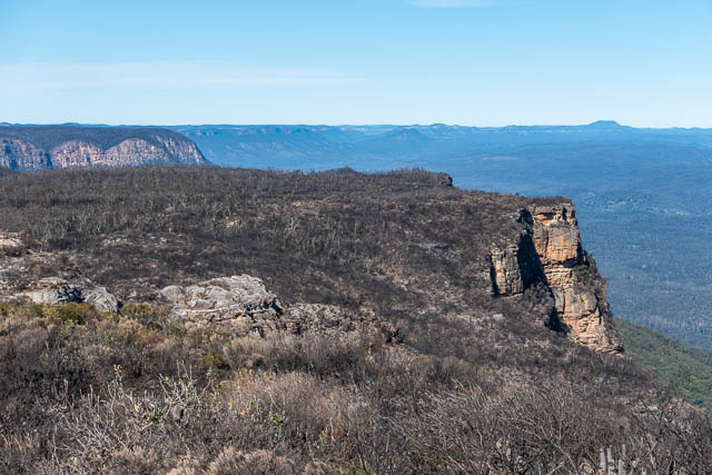
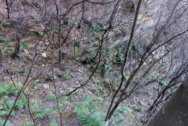
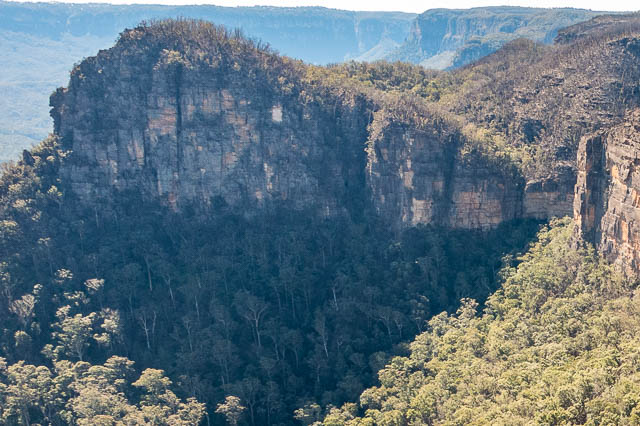
The view of Spring Creek Ridge was somewhat intimidating. From this angle we could not see any obvious passes.
We then traversed a short way around towards Spring Creek and looked for the chute, which is the Holbeach Descent. This was a pass discovered by Graeme Holbeach from Sutherland Bushwalkers in 1992.
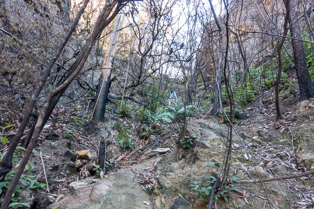
This is a steep and quite dangerous pass. After the bushfires. It is quite loose and unstable, with many rocks looking like they could roll down. Lucky we had a small party. We carefully descended the gully until it got too steep, then traversed to the left around a slight nose, to a second chute. This looked like it could go all the way.
We did use a rope at one point for a hand over hand.
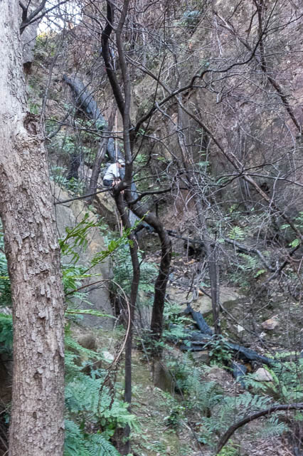
This pass was not particular nice – being too loose and dangerous. But it was convenient for us on this trip. After the fires, it may be trickier than it was with a lot of the vegetation hand holds burnt out. And more unstable rock. So probably easiest to go down with a rope for aid.
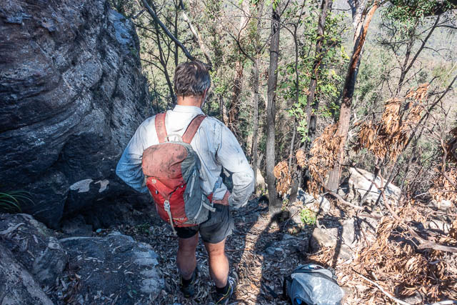
At the bottom we crossed Spring Creek. It was quite bouldery.
Our plan, which we had worked out from the map, was to traverse on the slope, all the way to the base of Spring Creek ridge. Often this sort of walking is very slow with steep gullies to negotiate. But the contours showed there might be a terrace we could follow round. There was, and it was relatively free of scrub. In fact – easy walking all the way.
We soon reached the ridge leading up to the pass.
Thanks to Paul Barton of the Sydney Bushwalkers and Catholic Bushwalkers, we had some new information about the pass. he had made two comments on my blog post for our unsuccessful attempt. They were very useful comments.
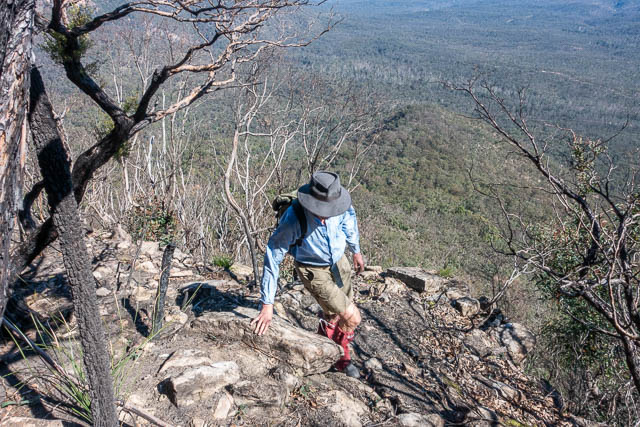
As we followed the ridge, we soon reached section of large boulders, which was fun and easy to negotiate. There seemed to be an obvious way through, and we soon reached a high cliff. No easy way straight up. But Paul had advised to go to the right a bit and look for the pass.
We went around the right, and very soon, a ramp appeared which seemed to offer relatively easy going. We ascended, and it was easy going, except you had to be careful knot to knock rocks down to those below.
At one point, we did use a small casuarina to scale a small cliff, and near the top, this time on the left of the nose, there was s short scramble on rock – very easy though.
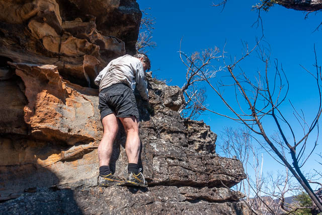
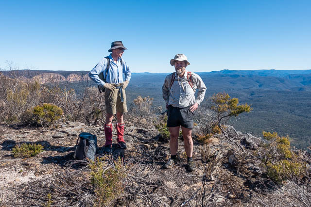
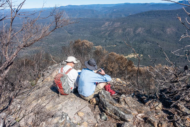
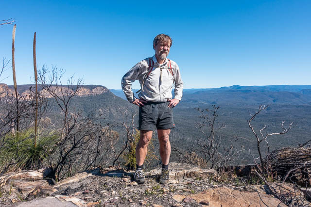
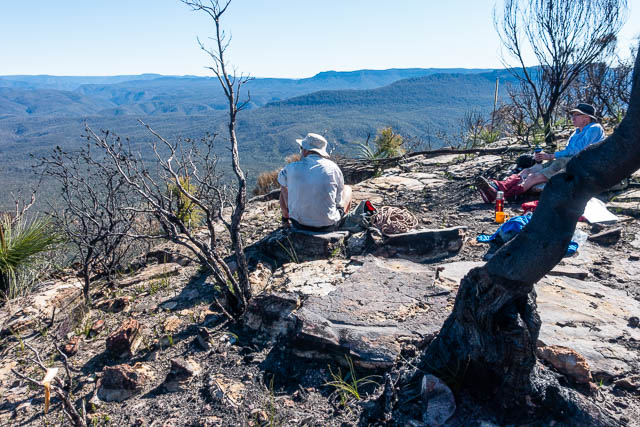
That took us up to where I had been before with Bob on the earlier trip. We climbed up the last part to reach a nice ledge. A good place for lunch.
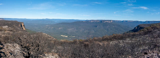
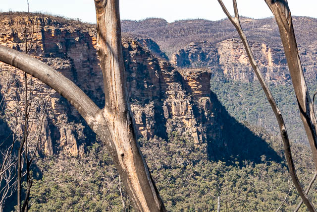
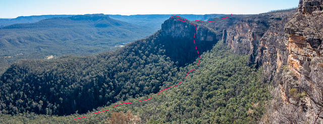
Looking back to Lions Head and Spring Creek. –
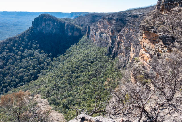
Here is a closer view of the Holbeach Descent –
And here our route is marked in red –
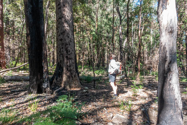
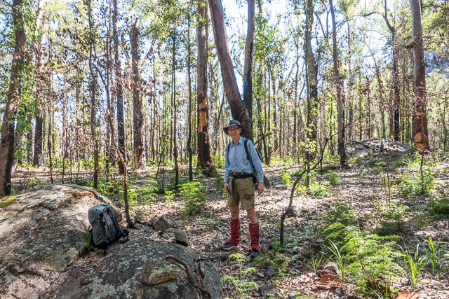
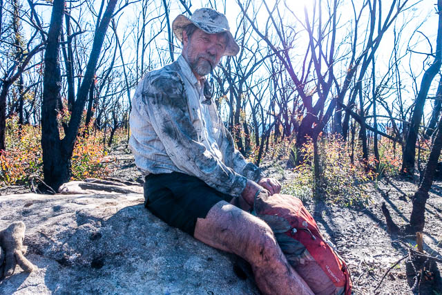
From our lunch spot it was a relatively easy walk back to the road. Some, but not all, of the scrub had been burnt out, but what was left made us very black.
We reached the Kings Tableland Road and then it was a short walk back to Bob’s car. This had been a challenging and quite exciting walk. It was one that we had thought about doing for a while, so we were pleased to finally do it, and find it an excellent outing.