Rain was forecast for the night before our planned walk and also during the day of the walk, so Bob and myself thought a trip to the Blue Mountains to see some waterfalls may be worthwhile.
Gemini Falls
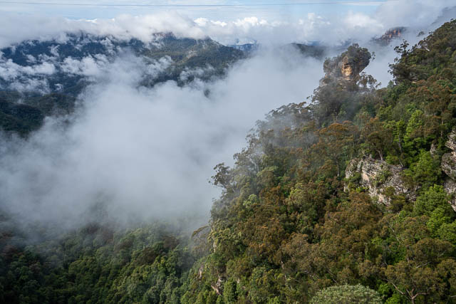
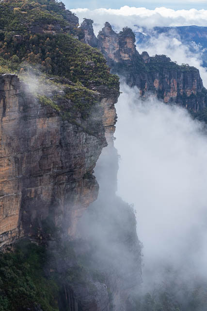
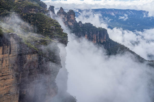
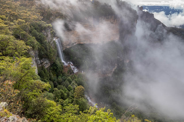
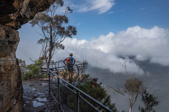
Our first stop was at Katoomba. We parked at the Katoomba Falls Kiosk and headed out onto Reids Plateau. This gives great views of Orphan Rock and also Katoomba Falls. This mist was just clearing and we are rewarded with some very nice views –
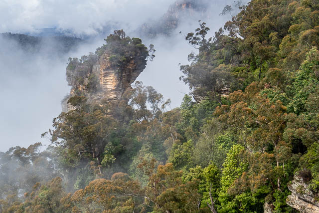
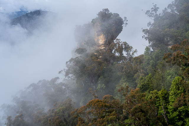
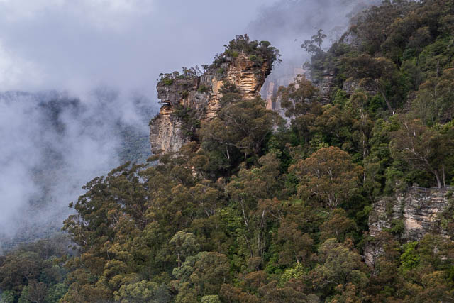
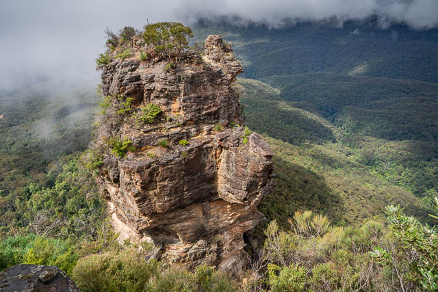
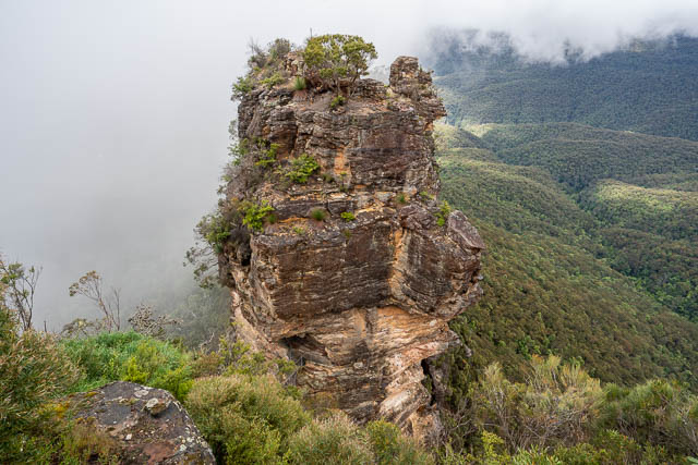
Here is Orphan Rock –
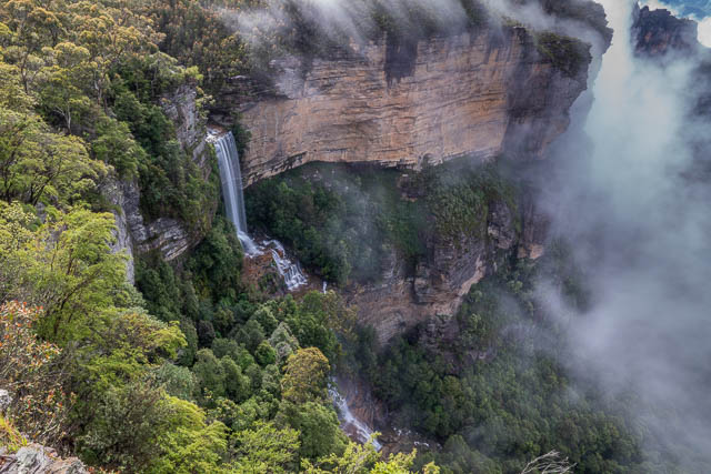
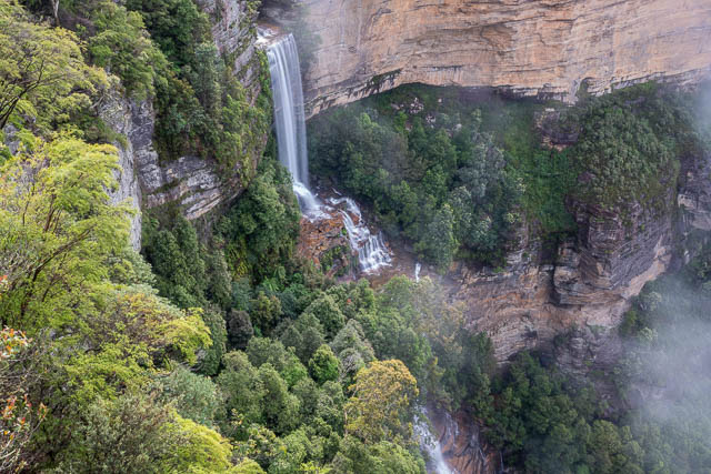
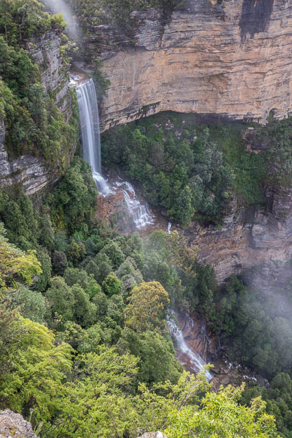
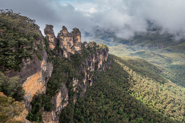
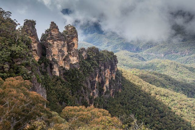
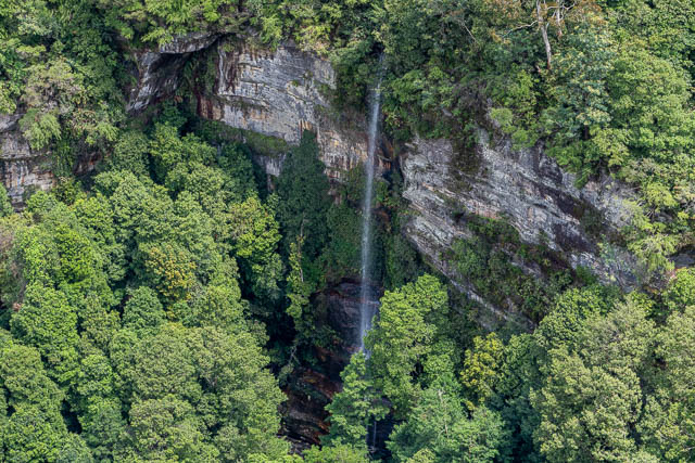
And Katoomba Falls and the Three Sisters –
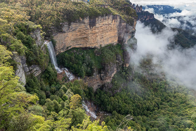
There was a good flow over the waterfall but it was not in flood.
The mist was staring to envelop Orphan Rock.
Katoomba Falls conisit of an upper waterfall, the middle cascades and then a lower waterfall that ends in a long cascade.
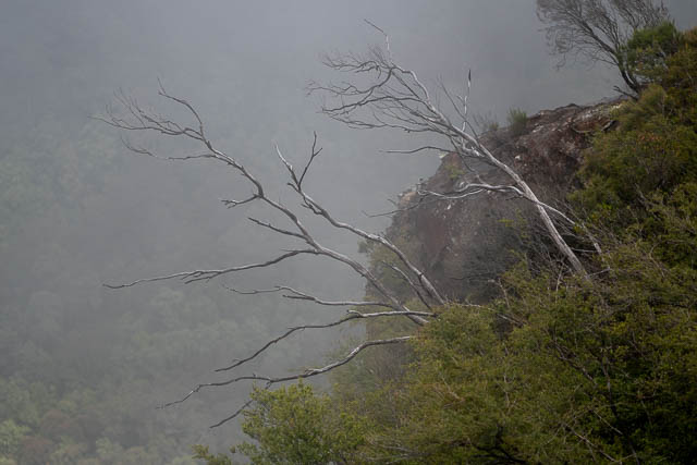
It was a nice atmosphere with the mist swirling around the cliffs.
As it was not training, we decided to walk along the Prince Henry Walk to Echo Point. We were interested to see the new work that had been done at Echo Point.
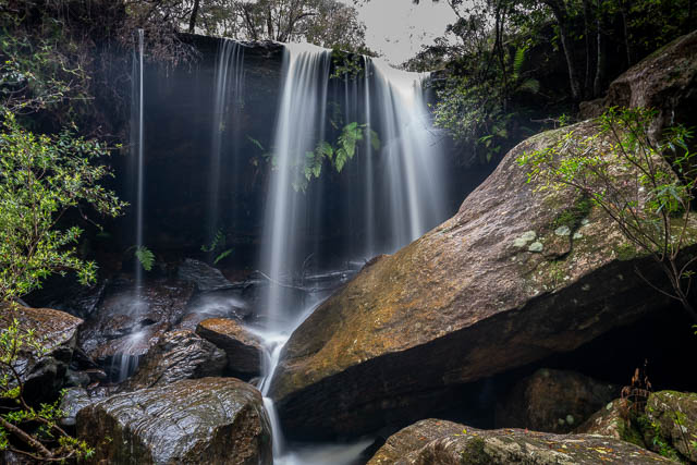
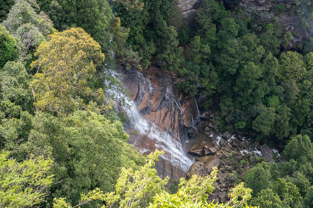
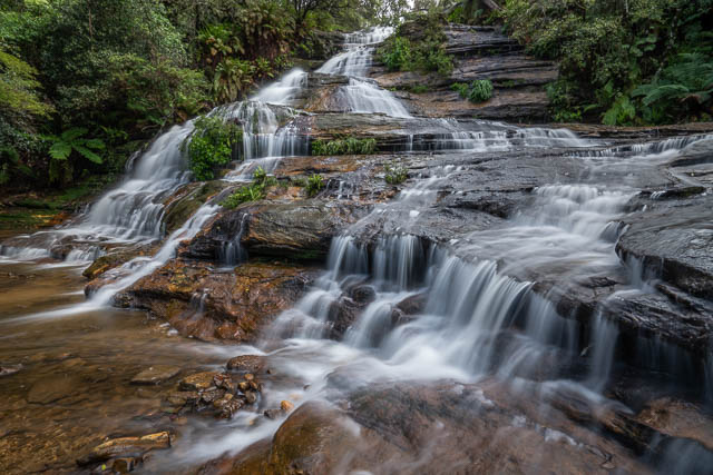
On the way we passed Katoomba Cascades –
Then it was a pleasant walk towards Echo Point –
Echo Point has some new viewing platforms, great for seeing the Three Sisters –
We continued on to the to pdf the Three Sisters.
It was a lot mistier on our return walk back to Katoomba Falls Kiosk.
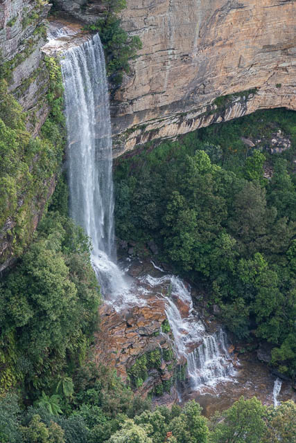
The mist did clear enough for us to get this view of Veras Grotto Falls –
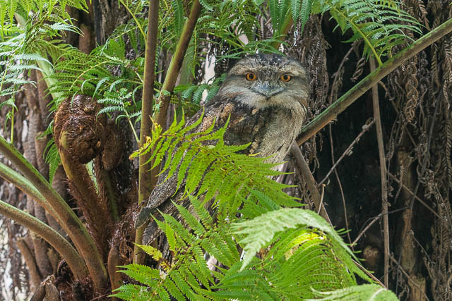
We then headed up to Blackheath and parked at Govetts Leap carpark. Before setting out, we stopped under a picnic shelter for lunch. While we were having lunch, Bob spotted this nice Tawny Frogmouth –
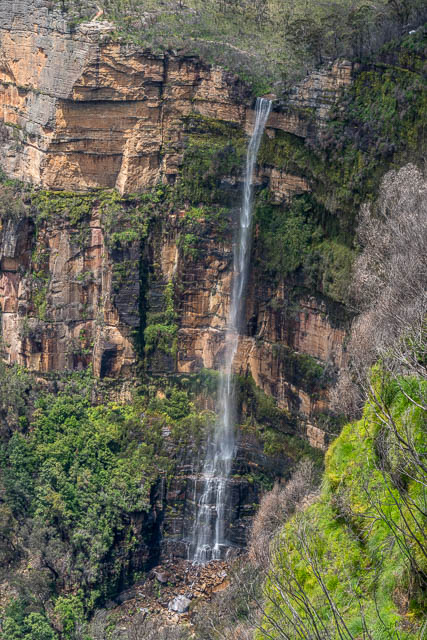
We had planned to walk down to Horseshoe Falls, but the track was closed due to bushfire and flood damage. So instead we got some photos of Govetts Leap –
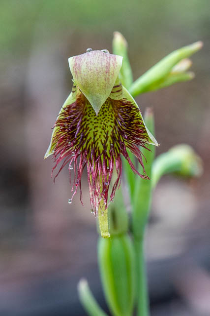
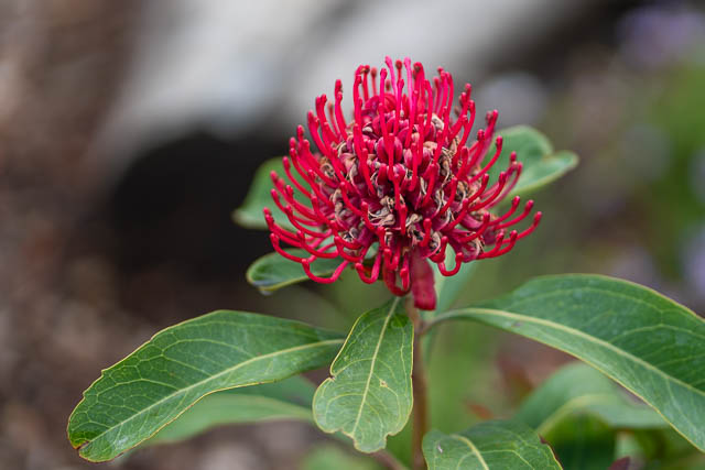
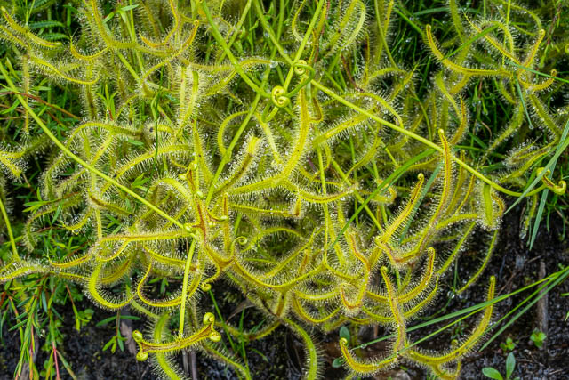
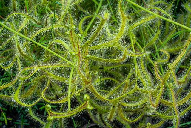
All along the track are some magnificent displays of Drosera –
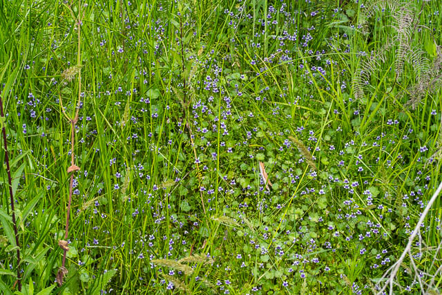
And these Violets –
It was still relative early, so I suggested a visit to check on a possible location for Gemini Falls near Hazelbrook – Woodford. In August I had been emailed by a bushwalker, Gerald Kleyn. He had queried what I had written on my Waterfalls of the Blue Mountains Website abut Gemini Falls now being underwater – flooded by Lake Woodford, the water supply dam. He had found a waterfall that seemed to match the position shown on an old map from 1885.
I had seen this old map before, but I made a copy of it and overplayed it on the topographic map, then reduced the map’s opacity and rotated and scaled it to best fit in. The old map was quite roughly drawn – it did not fit too well, but indicted that the falls may not be flooded.
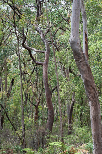
This was a good opportunity for a visit. We drove to the end of Clear View Parade at Hazelbrook and we were soon walking down the L5 fire road.
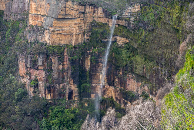
We found a waterfall in the position Gerald had indicated. This was not far downstream of where a side fire road crosses the creek.
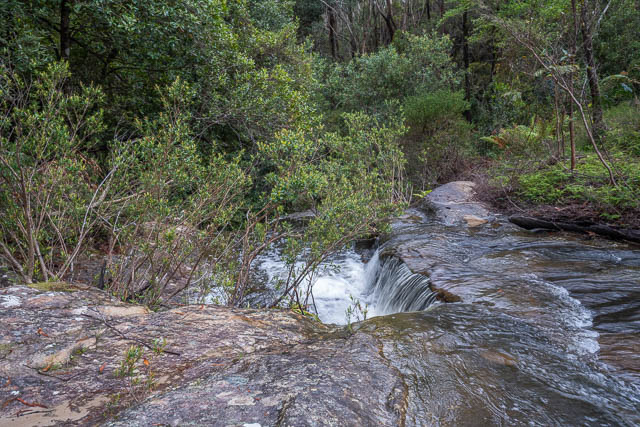
It was easy to walk down to the top of the waterfall, but harder to get down lower for a photo. It was wet and slippery.
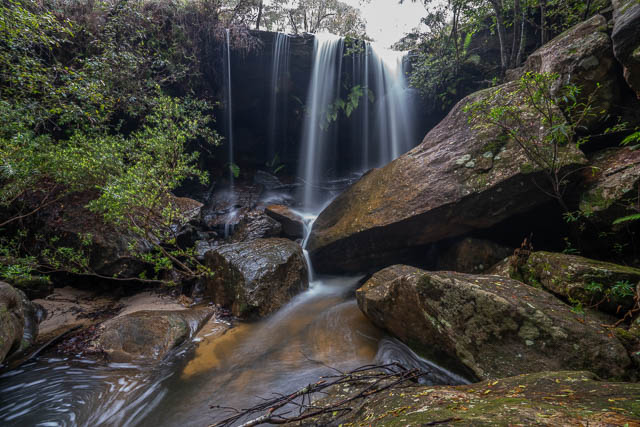
I have not seen any old postcard type photos of what Gemini Falls were supposed to look like. The waterfall here was about 6 – 8 metres high. The old map marks it as “Gemini Falls”, whereas other nearby waterfalls that are marked use the singular – eg “Edith Fall” and “Mabel Fall”. The name “Gemini” was apparently given because Gemini is a double star system, and that implies two waterfalls. We could not see or hear any more waterfalls downstream, but the waterfall we had observed does have two distinct main streams. So that could account for the name?
My guess, is that the waterfall was named, with this astronomical name, by the same group that did a nearby observation of the Transit of Venus in 1874. The “Transist of Venus” walk is a little way upstream on the same creek and visits Mabel and Edith Falls.
This had been an interesting short walk. Many thanks to Gerard for bringing it to my attention.