It has been a while since I have done some exploratory canyoning. I know I am getting older and slowing down, but probably the main reason is a lack of resource. I have spent many years exploring remote creeks looking for canyons with some success, but as time goes on the number of creeks left to explore diminishes. And the creeks left are probably less likely to have worthwhile canyons. But the tools available change. When I started exploring canyons in the Wolgan Valley, I used stereo pairs of air photos to look for likely slots. Later further north, I repeated this technique – but made visits to the Lands Department and asked to use their large stereo viewers and then sat down with a few bundles of air photos to look through. After an hour or more, I would leave with markings on my maps that indicated creeks with possible slots. Another friend, Rik, that I did a lot of exploration with used the same technique and we later compared notes and planned a trip. Now with online tools like Google Maps, Google Earth and the Six-Viewer you can access very high resolution air photos of the Blue Mountains. You don’t have the 3D view, but you do have a high resolution.

So its nice to do some armchair canyon exploration at home, studying air photos looking for possible canyons in places you haven’t been to. But the results are not always worthwhile. This was the outcome on this trip. A nice walk, but a poor canyon.
I had spotted what could be a canyon winding its way around some pagodas in the upper Blue Mountains. The location was a place, probably not visited by bushwalkers or canyoners, but not too far away from tracks and fire trails. This technique had been used by me when we found Crooked Crevice Canyon years ago. This was a short but high quality canyon located a very short distance from the Tigersnake Canyon track that we had all walked past for years. Would this technique work again?
Last year, Bob and myself had used it on a trip. I had seen a possible canyon on the air photos and we did a walk to check it out. It turned out to be a dud. A very short shallow slot – not worth going down. Now, Bob and myself, joined by Doug, were investigating another of these possible canyons.

So we set off from a fire road, down a ridge, and to a creek. The area looked promising. So we continued down the creek. It did narrow down a bit, but not a lot. The creek wound its way around the pagodas but it did not cut a deep or narrow slot. It was nice – but not the canyon we had been looking forward to.


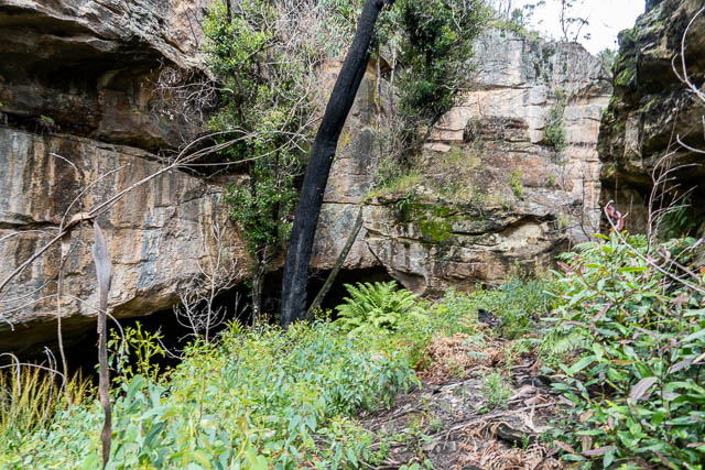
So rather than continue downstream into a wider valley, we back-tracked a bit and climbed out.
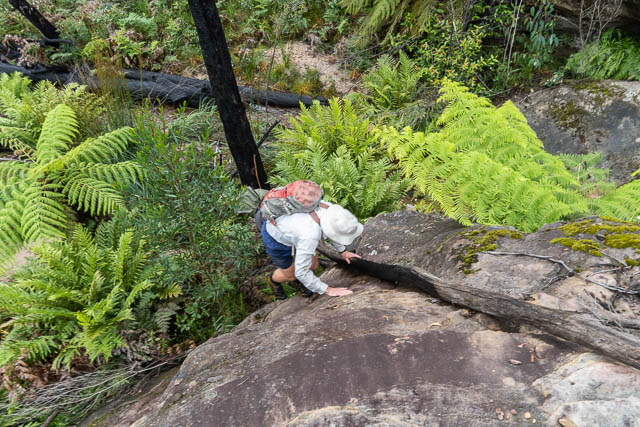
Prior to the trip, I had already named the canyon as “Omicron Canyon”. The name seemed timely.

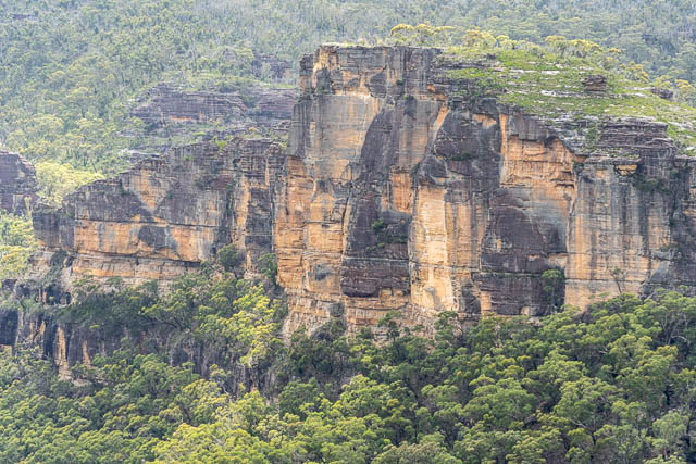
We then made our way to a nearby point and had some nice views.

Then we headed upstream in the major creek, looking for another site of interest.
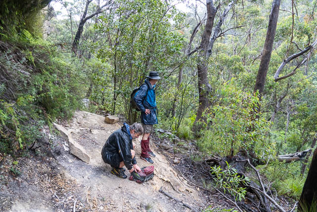
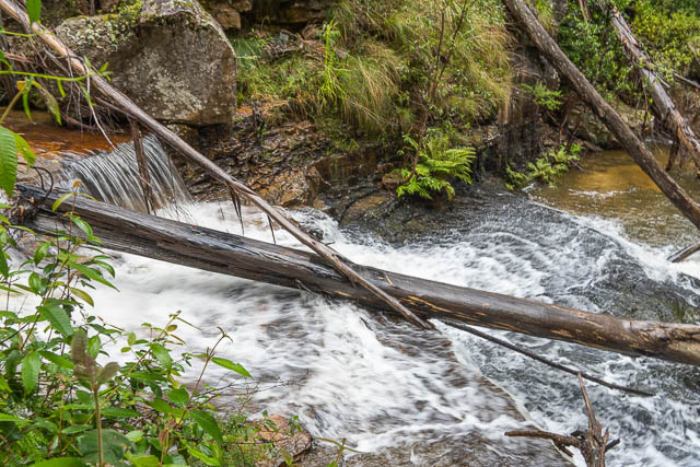
By now it was raining quite heavily and the creek was up a bit making progress quite slow and difficult.
So we climbed out and made our way back along a ridge to Bob’s car. On the way, we found some nice orchids –


So not the canyon we had been hoping for but still a nice walk.

Good to see a couple of old dogs out exploring. I just found you David through looking for Du Cane Range which I want to do next week. Best wishes