This was a nice daywalk organised by Adrian Jones for the National Parks Association of NSW (I think it was also a Bush Club walk)
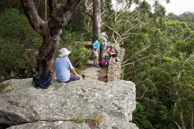
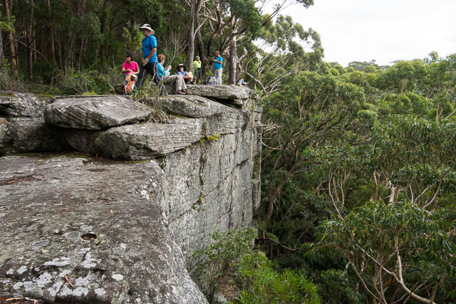
We met at Stanwell Park Station and then set out along the Wodi Track, and soon turned off and climbed the track leading to Stanwell Tops. We stopped for a morning tea break on a nice rock platform on the escarpment, and then continued on through Stanwell Tops to the main road. We crossed that and then followed the Princess Marina Walk to Kellys Falls.
From the falls we continued on rough bush tracks to a fire trail that leads down to Otford. As it passes through some private land, we turned off it and went off-track down the ridge to reach the road from Helensburgh to Otford. From there it was a short walk to Otford Station. At the station, we crossed the railway line and then followed the firetrail to the start of the Coastal Track at Royal National Park.
We followed the Coastal Track for a few kilometres, stopping for lunch and then later turning off to the left and descending to the Hacking River on the Lilyvale Track. We walked along a short section of the hacking River following mountain bike tracks and then followed a rainforest tributary creek, Camp Gully, upstream to just before the coal mine. The last part of the walk was along a trail that went around the coal mine and then along more mountain bike trails to bypass Helensburgh and a track around the tip to get to Helensburgh Station.
Thanks to Adrian for organising and leading the walk.

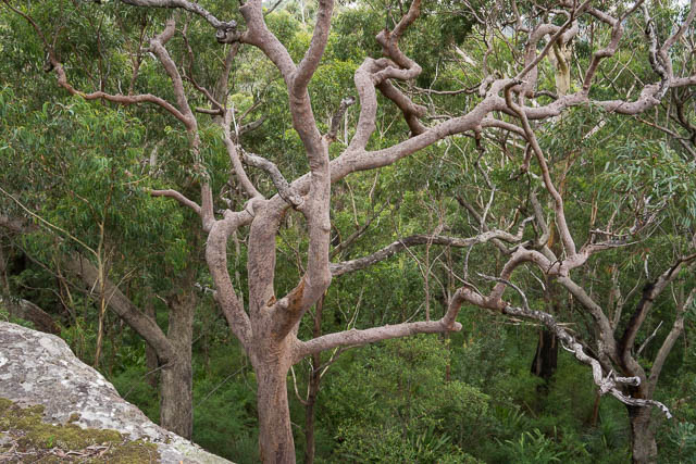
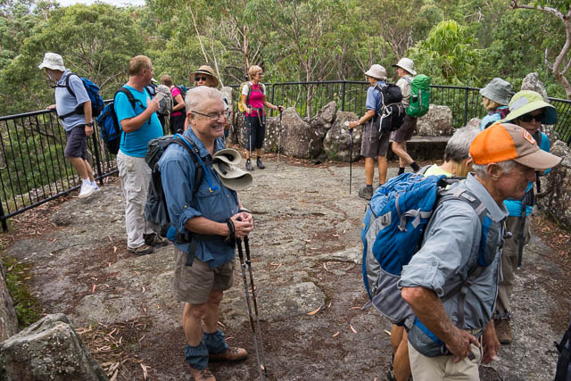
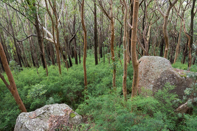
It looks beautiful. How long was the walk?
It was a fairly full day
Hi My name is Eason. Your description on the tracking is very attractive, I also want to go there and have a look, could you please sent me a map which has the complete walking track?
Thank you very much
I don’t have a map that shows all the routes we used – some of which was off track walking. This walk would only be suitable for people who know the area reasonably well. You may be better off walking on the main tracks – e.g. from Otford to Burning Palms first. These tracks are well signposted and marked on the topo maps.
Hi David,
Thanks for sharing this information, I follow your blog regularly and it’s a great source for my bushwalking trips. Just wondering how you crossed the Hacking River? Were there stepping stones/a dry bit?
East crossing – jumping across stones. May be harder in high water however.