This is a work in progress. Last revision 6 February 2024.
I grew up at Springwood and as a child was a frequent visitor along the tracks in Sassafras Gully, and also learnt to swim on family bushwalks to the large pool where Sassafras Gully meets Glenbrook Creek – which was named “The Lagoon” on early maps. Since then, I have visited the area on a regular basis, with a particular interest in the fungi that is found there. Also, on these bushwalks I have wandered along some old tracks and thought about when they were made.
It has been interesting looking at old maps and searching old newspaper articles and guidebooks that are online at Trove. I expect to update these notes if I find errors or more information. Any new information from readers will be greatly appreciated.
Aboriginal History
There are signs of a rich history of Aboriginal occupation in the main valleys and the smaller side creeks, and on the ridges above. This includes cave art, rock engravings, occupation shelters, stone tools, and sharpening grooves.
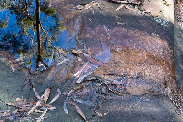
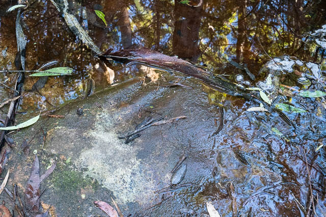
Here are some sharpening grooves high up in a tributary creekbed.
And in another creekbed –
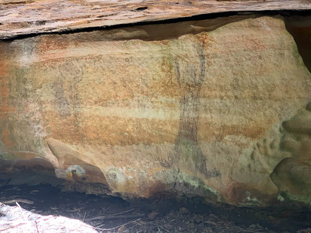
Here is come charcoal cave art, in small shelter cave in one of the main creeks –
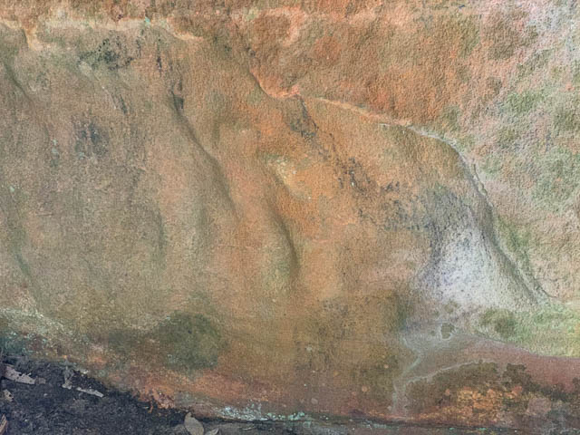
These engravings are in a tributary creekbed, high up. The first is a kangaroo.
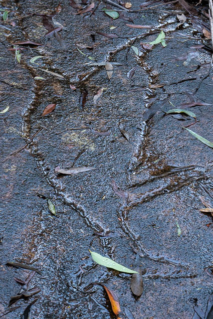
This one appears to be a large snake –
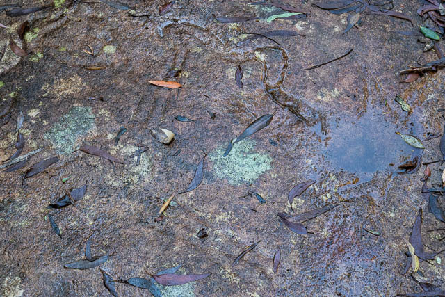
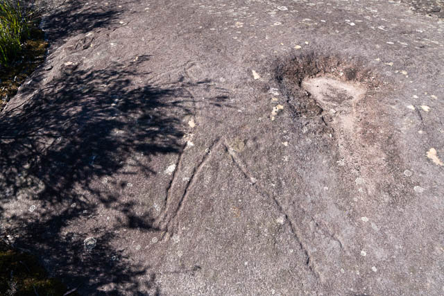
This engraving, probably a kangaroo, is on a large rock platform on a ridge above the creeks –
And some stone tools found in occupation caves –
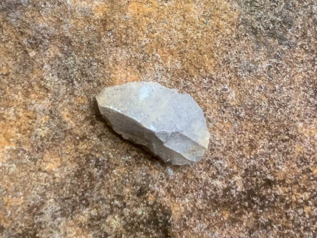
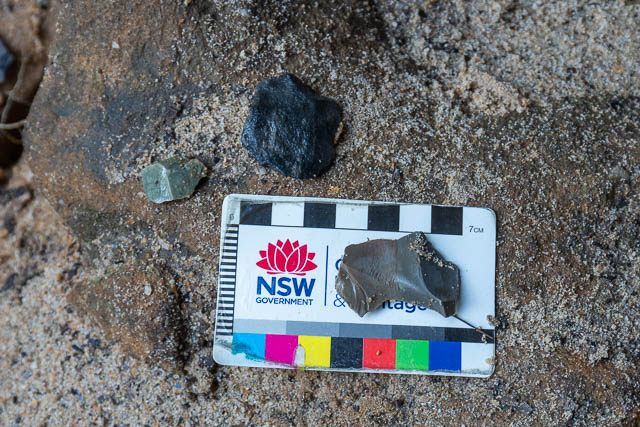
These rocks are not local to the area and have clearly been imported. Their edges have been worked.
William Dawes
According to this post on the Blue Mountains Local Studies blog, by John Merriman, the first European to visit Sassafras Gully was William Dawes, on his attempt to get to “Round Mountain” (Mt Hay) in 1789. Continue reading