
Bob and myself spent another interesting day in the Blue Mountains exploring a number of heritage sites.

On an earlier trip, we had missed an Aboriginal engraving site. It was not too difficult to get to, so we checked it out first. I had read about this site in an old newspaper article.
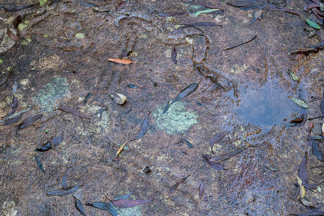
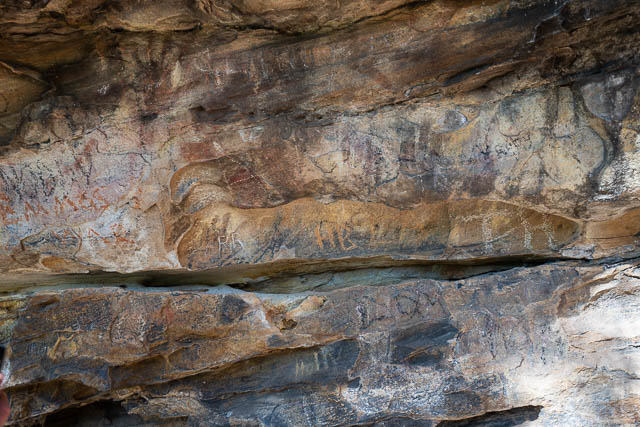
Here, the engravings are in the bed of a small creek. There are a number of engravings and quite a few sharpening grooves. A small overhang nearby could have been an occupation shelter.
In the engraving below, there is a long serpent, and also a small wallaby on the right (partly submerged by the pool of water). Perhaps the snake is striking the wallaby.
Below is a much larger kangaroo engraving.

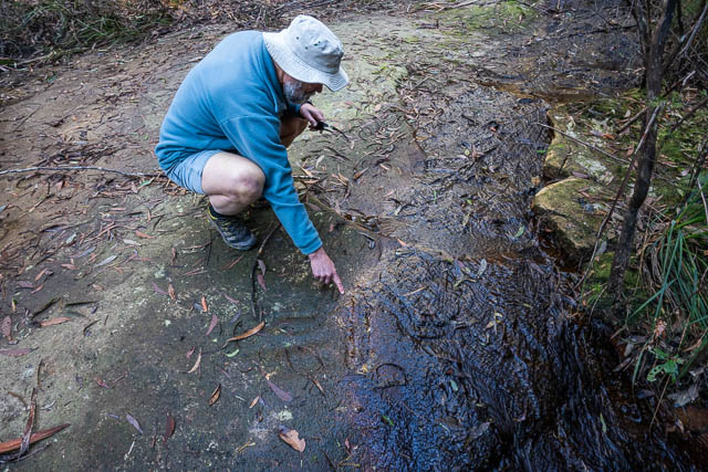
Below, Bob is examining a human figure. It is a man with a large penis. The rock where the head would have been has broken off.
There are quite a number of sharpening grooves near this pool –

Here is another view of the male figure –

More sharpening grooves –

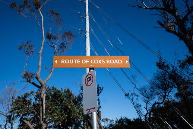
Our next stop was the new carpark at the start of the track to the Paradise Pool at Linden. This is also a historic site – being part of the original Coxs Road (1813-14).
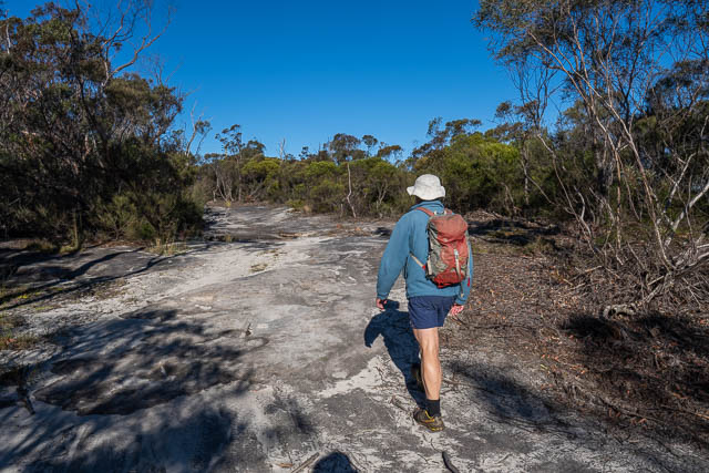
Our plan was to follow this old road to Woodford. The only tricky part was near the start, where we had to cross the highway. To avoid a barrier between the lanes, we had to walk towards Woodford for about 200m.
Then we were back on the old road.
Below you can see some of the original kerbing –

Another kerb –
At one point, we passed two old heritage listed cottages, known as Rock Corry.

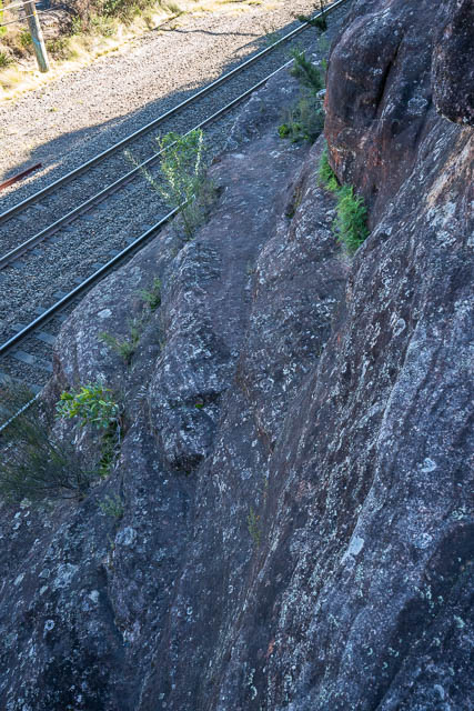
And here, we deviated off the road to visit a site known as Bulls Chair.
The chair is on the ledge below. You can make out an old cut out step.
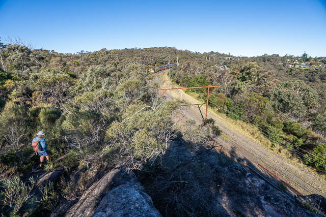
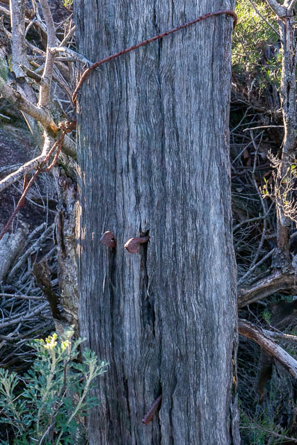
This fence was probably to do with the railway. We could see some very old looking nails.
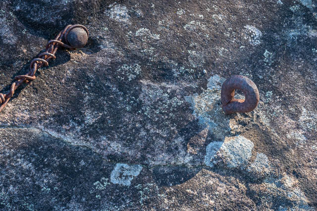
And some old bolts –
Then we had to walk through the streets of Woodford to the railway station where we crossed the railway line and the highway via the footbridge.

The best way to walk back to Linden seemed to be via the Paradise Pool. We walked up the highway and then turned off, walked to the end of a street and then followed the Wellesley Fire Road. Later we turned off on another fire road to the east and followed it down towards the creek draining Bulls Camp. Part way down, we followed a track that led to the Paradise Pool
We had lunch on the rock shelf above the pool. It was a nice sunny spot out of the wind.
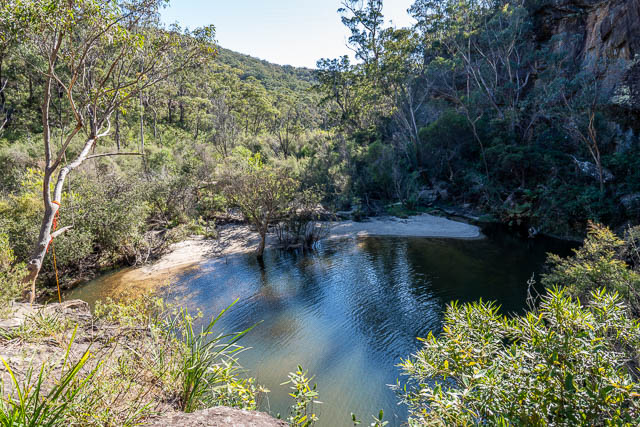
The Paradise Pool is a great swimming spot in summer. It has been used for many years – and is marked on Myles Dunphy’s Grose Valley Sketch Map.
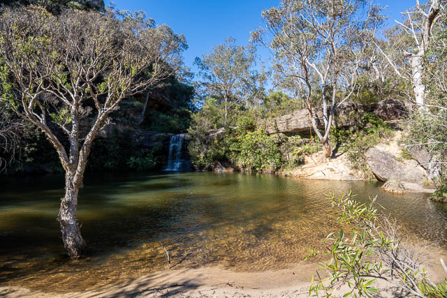
The waterfall at the pool is known as Bulls Camp Fall and is depicted in an old postcard (circa 1890 – 1910).

We then headed up the track to Linden.
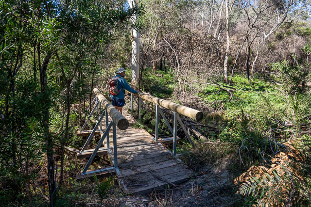
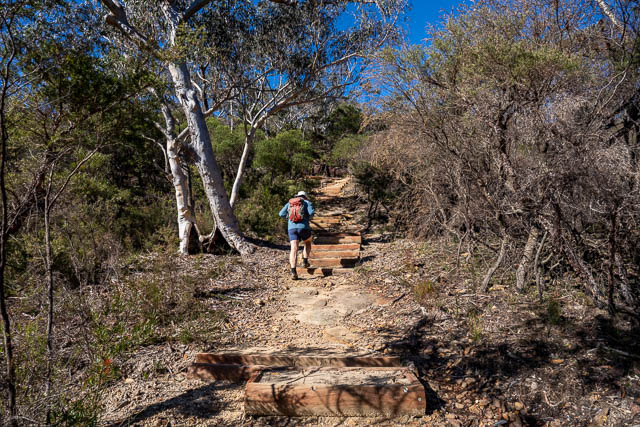
We were surprised at the level of trackwork. The creek is spanned by a new bridge and the track up the hills has been upgraded with new steps.

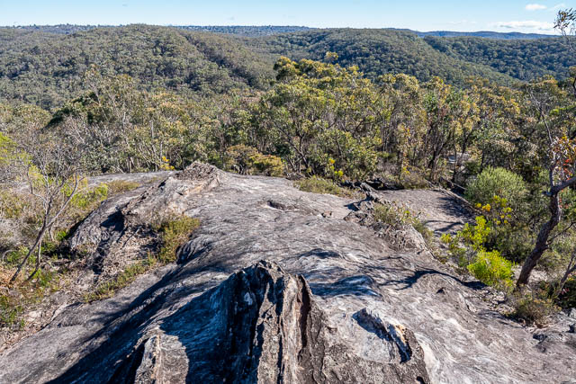
We paused at the top to admire the view.
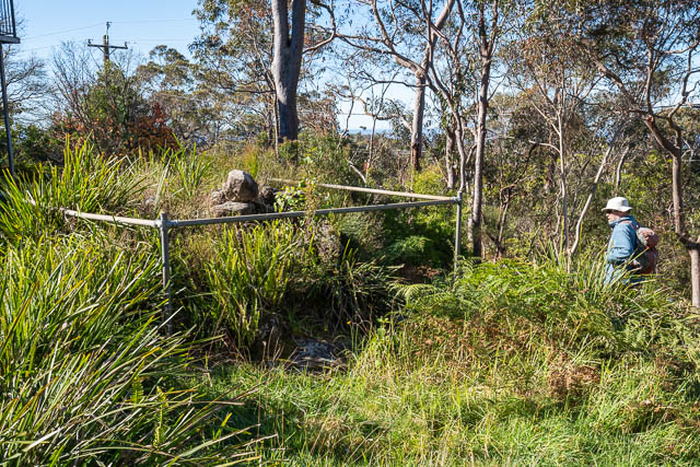
Not far from where the track meets a fire road, we checked out an old heritage listed dam. It is between some houses and the fire road. The concrete wall is still evident. I think it was once used as a water supply dam for Linden.

The catchment area for this dam would have been very small. Perhaps it was use to store water pumped up from the larger dam in the creek a few hundred metres above the Paradise Pool. The dam was used mainly for water for steam locomotives.
And another heritage site nearby is Caley’s Repulse. It was thought the pile of stones marked the termination of one of the explorer Caley’s attempts to cross the Blue Mountains. The present pile of stones was placed here in 1912 by members of the Australian Historical Society to mark the spot where explorers Blaxland, Lawson and Wentworth had seen a pile of stones in 1813. It is likely that the original stones could have been an Aboriginal stone arrangement. You can read more here.
We then arrived back at the carpark. We drove a short way towards Linden Station and visited two more heritage sites.
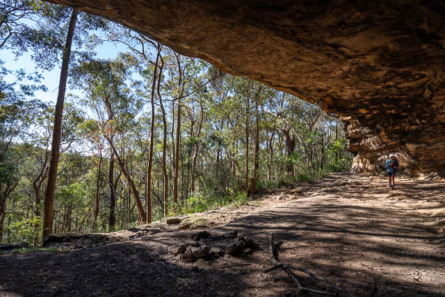
The first is Kings Cave. This is a huge overhang that provides good shelter. An old local legend is that the cave was used by a bushranger by the name of King, and he once shot a police officer by the name of John Donohoe who was buried nearby. But this story is unlikely to be true. It is much more likely that the cave was used as a store by members of the Kings Own Regiment who were stationed nearby.
It is also more likely that the cave would have been originally an Aboriginal occupation site. The cave does contain a lot of graffiti but there is also some Aboriginal art. There are eight white hand stencils. Some are very hard to make out.
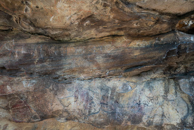
You can see all eight hand stencils in the photo below.
This may make it easier to discern them –

Below, you can see Bob looking at an old stone retaining wall – probably built in the days of the Kings Own Regiment.

Near the track down to the cave is the tombstone for John Donohoe. The original grave has been lost when the railway was duplicated, and the tombstone moved here. Rather than being a police officer who was shot by a bushranger, it is much more likely that John Donohoe was a convict working on upgrading the Coxs Road, when he died in 1837. Blue Mountains historian John Low has done some interesting research that can be found in The Blue Mountains History Journal, September 2012.

An early photo of the tombstone from the Blue Mountains Local History Collection can be found here.
Wow, so interesting.