
Bob had planned this walk in Brisbane Waters National Park. We caught a train to Wondabyne and got off at the small station. The station is so small that you have to detrain via the back door only from the last carriage (after notifying the guard – as it is a requested stop). We were surprised then to find the station manned.
Aboriginal Art
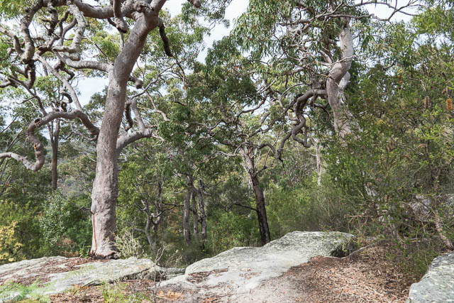
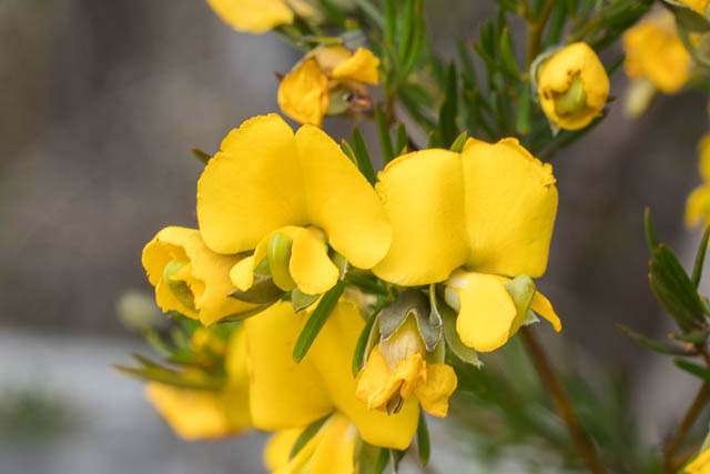
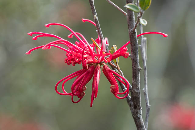
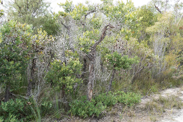
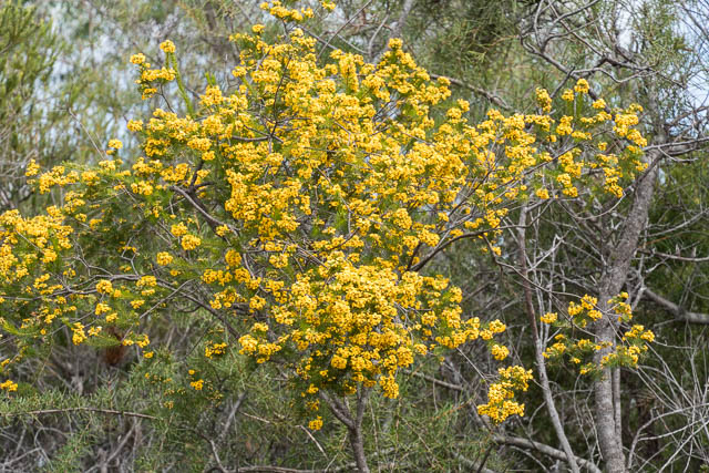
From the station we took a track that climbed up the ridge and then continued along the ridge. It was pleasant walking with a sea of wildflowers.

This track took us to the Great North Walk Track coming from Patonga. We turned off to follow it.


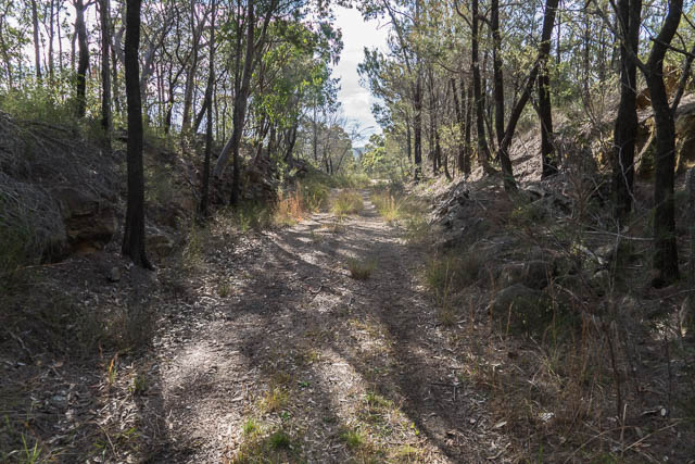
The track winds downhill slowly.
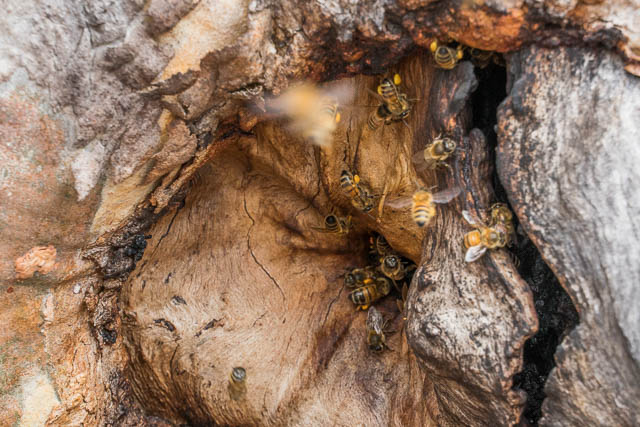
Bees nest
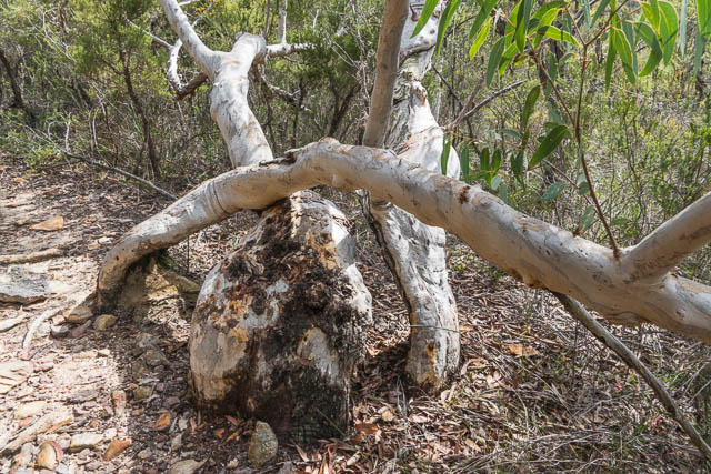
We descended to cross the two branches of Myron Brook. On the way down the track passes through attractive forest. We were lucky to spot two legless lizards close to the track.
Scaly Foot Legless Lizard
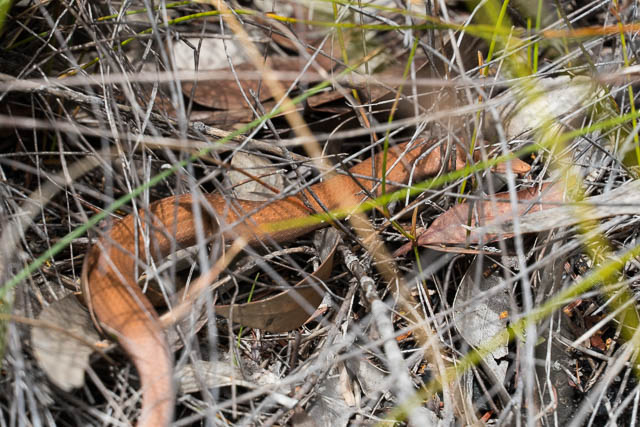
Burtons Legless Lizard
Thanks to Ken Griffiths for the lizards id’s.
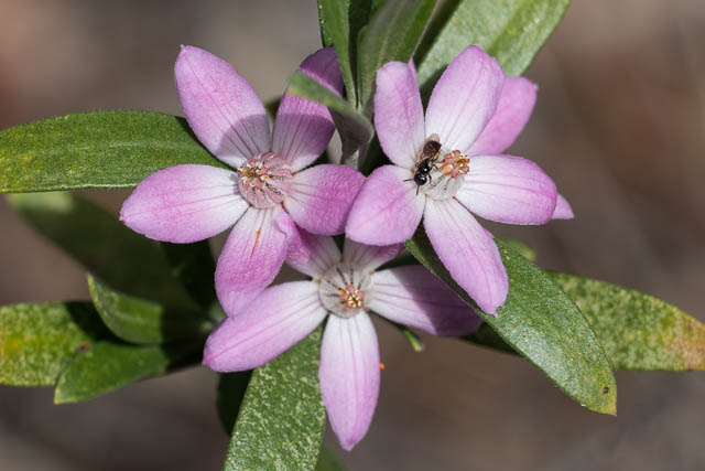
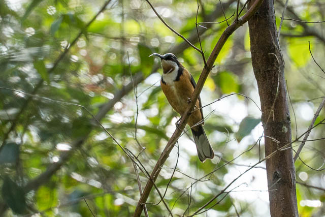
We also saw a Eastern Spinebill near the first branch of the creek.
The second branch of the creek passes just below Kariong Falls. At the bottom of the waterfall is a nice swimming hole. The water looked clear, but cold. The waterfall would be really nice with a decent flow.
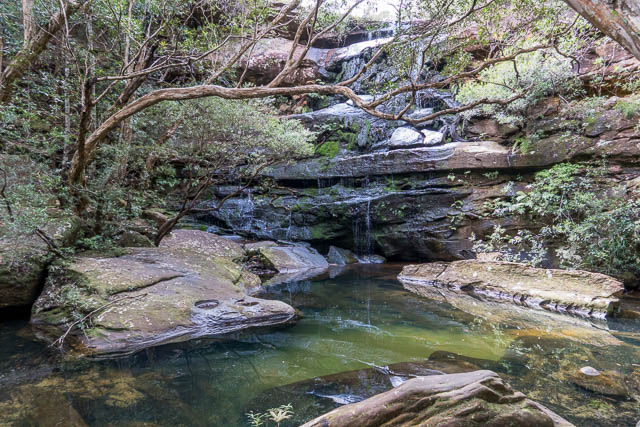
Kariong Falls
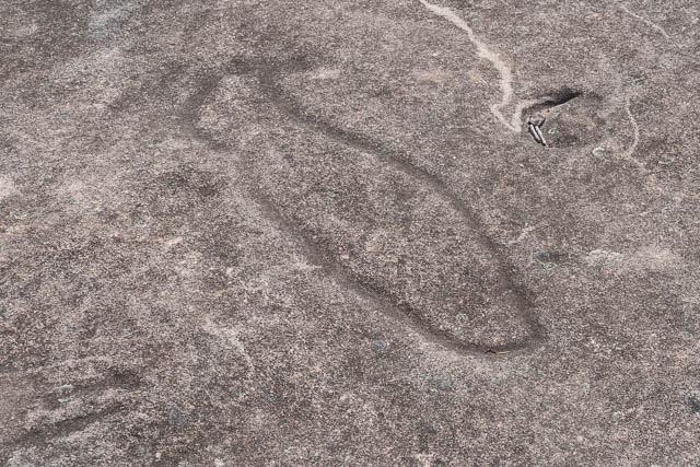
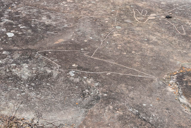
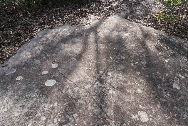
We met two other walkers at the falls. We then climbed up on the other side to Tommos Loop Firetrail. We then followed it to Staples Lookout. On the way we visited two aboriginal sites. Both feature rock engravings. The first is a small site –
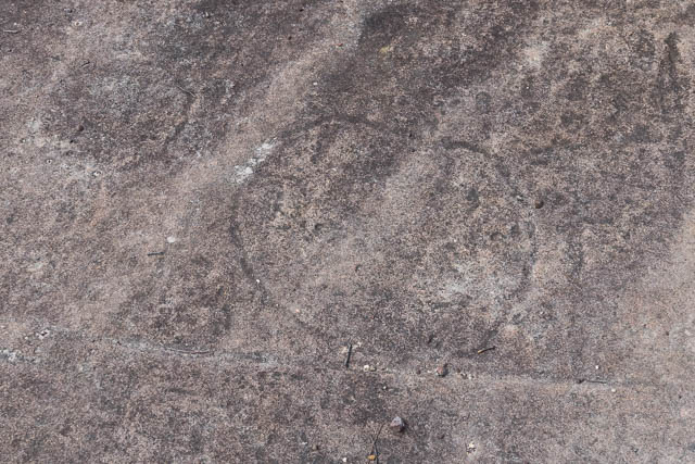
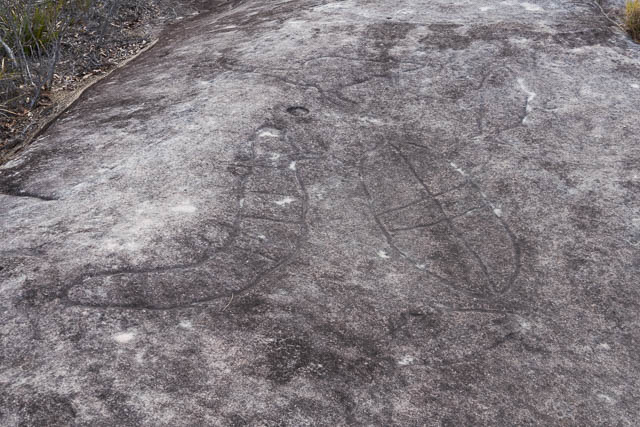
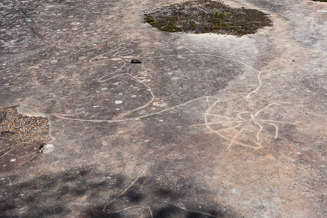
Nearer the main road is a much larger site with many engravings.
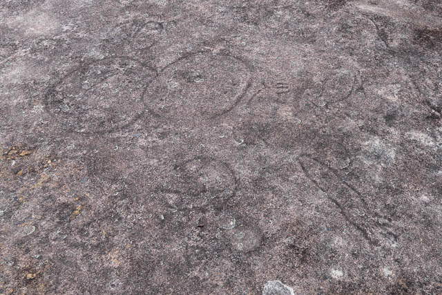
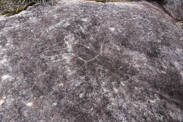
Aboriginal Art
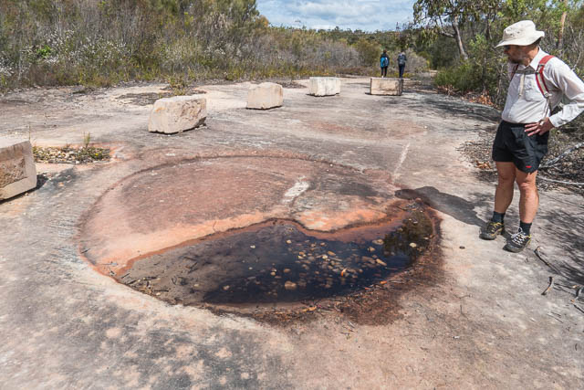
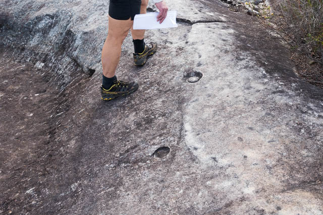
I think this is probably the most impressive rock engraving site I have seen. In one area are some small round holes. These could have perhaps been made by a natural process – by a stone being whirled around. Or perhaps made by aboriginals? I am not sure.
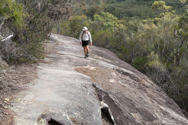
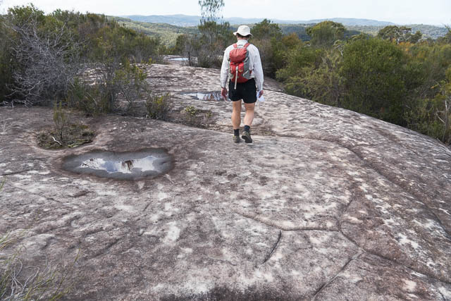
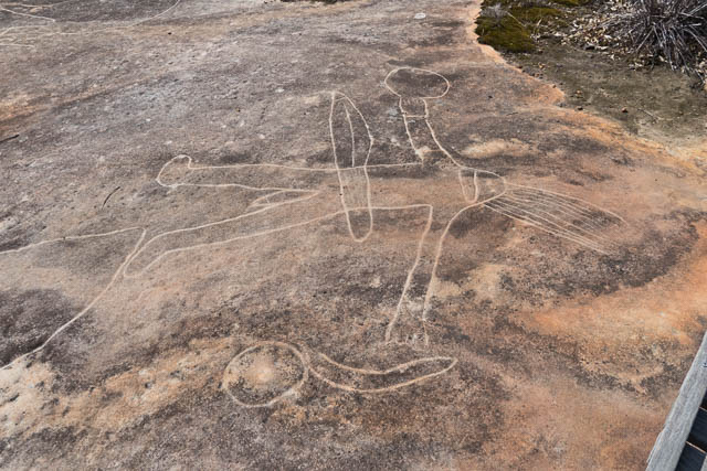
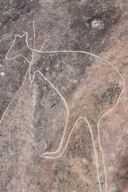
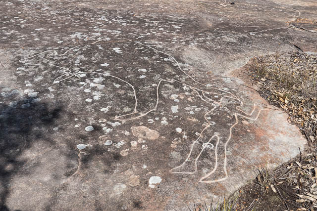
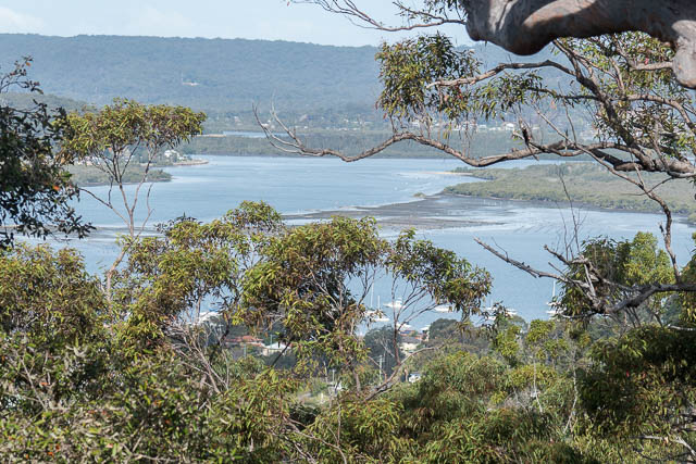
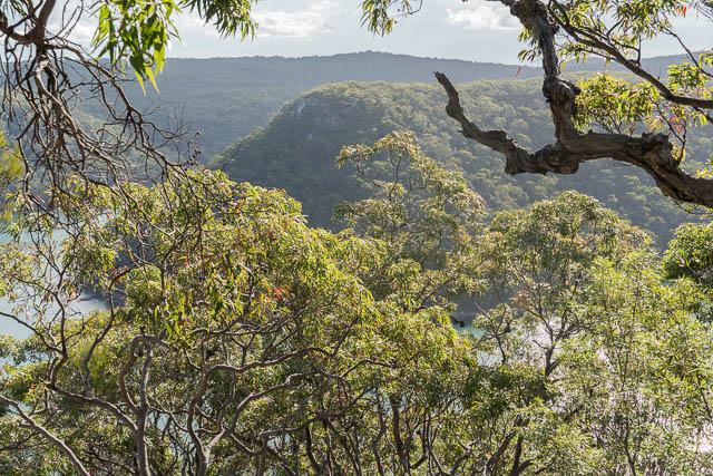
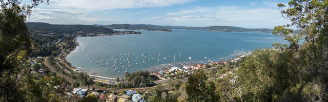
We then reached Staples Lookout and after admiring the views of Brisbane Waters, we set off along the main road. This was a mistake – we could have walked along another firetrail – but the map showed it dropped down a fair way and then climbed back up – but the main road was unpleasant walking – with cars passing fast close by, and no footpath – and also so much unpleasant rubbish all along the roadside – thrown out of cars over the years. This included a lot of broken glass. We were glad to turn off along another fire road which reached another Aboriginal Art site. This one is well known – with boardwalks and cars and a bus in the parking area. The engravings here have been retouched to make them clearer.
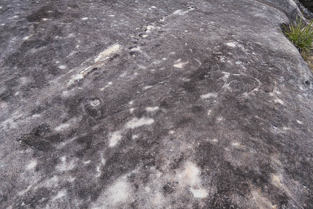
There were also some sharpening grooves –
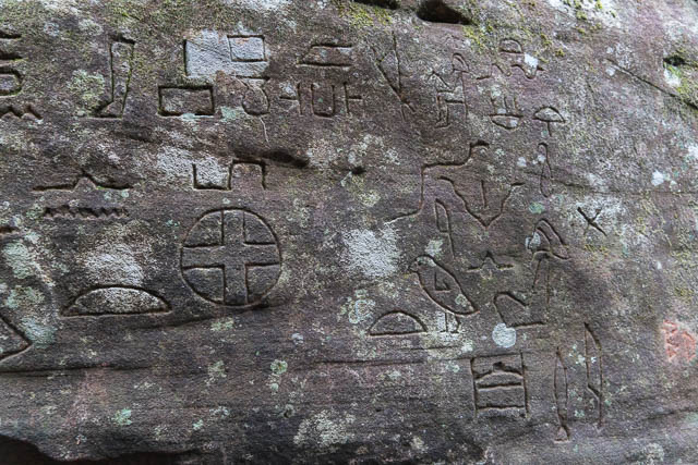
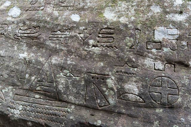
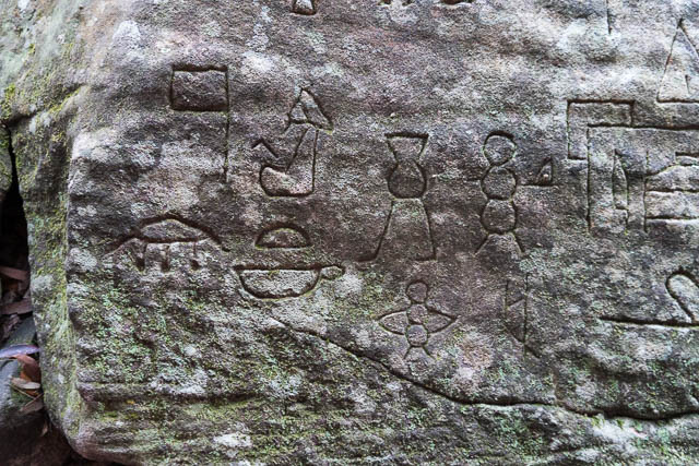
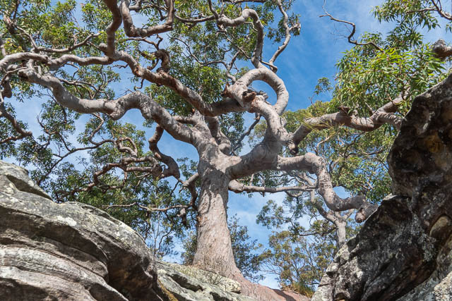
After this we returned to the main road and walked a short way to Bambara Road. We followed this for about 1 km and then turned off along the Hieroglyphic Trail for a few hundred metres and then up a side track past an enormous Angophora tree to reach the “Kariong Glyphs”.

This is a strange site – several rock walls covered with Ancient Egyptian Hieroglyphs. Many think they were made thousands of years ago by visiting Egyptians at the time of the Pharaohs. But scholars have pointed out that although the symbols are indeed correct for Hieroglyphics, they span several dynasties and make no sense – so it is probably safe to conclude that like the Bobbin Head Sphinx, they were made by a returned WWI serviceman. who had spent time in Egypt.
We then returned to the Bambara Trail and followed that to where it turns into the Koolewong Firetrail that heads towards Woy Woy.
A short way along this, we noticed a track heading off to the left. We followed it a short way to a clifftop – where there were not only fine views, but also more Aboriginal engravings.
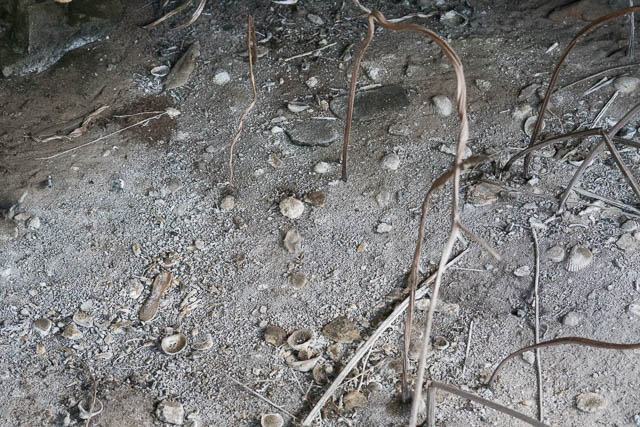
The track then continued along the escarpment and along the ridge – parallel to the fire road but much more interesting and scenic walking. At one point it passed through a nice shelter cave. We didn’t see any art – but the floor revealed it was a midden.
The track then headed back to the fire road. Further along the fire road passes though a cutting – it looked quite old – perhaps the path of an old road to Woy Woy?
Near the end of the ridge, and close to a communications tower, we walked a short way out to a lookout – with good views of Spion Kop.
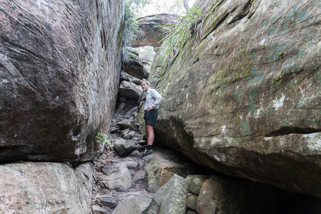
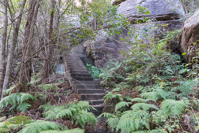
We returned to the main trail and then followed it very steeply down. At one place , we left it and followed some steep steps down through a cliffline.
At the bottom, we went along a road under the railway line to reach a footpath and cycleway that took us across a bridge to Woy Woy.
Interesting walk and notes, thankyou. What was the distance please?
I just checked the gps file. It was just over 19 km.