
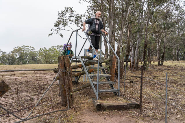
A friend, Dave Os had organised a walk from the Dunphy Campground in Megalong to Ironpot Ridge and the plan was to camp high near Ironmonger Hill. Joining him on the walk were Digi Dave, Keith and myself.
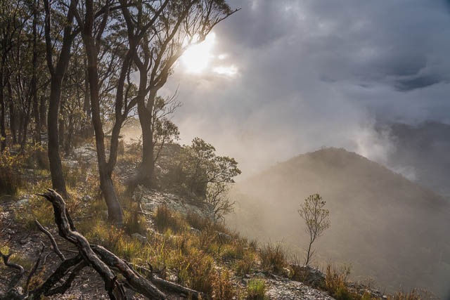
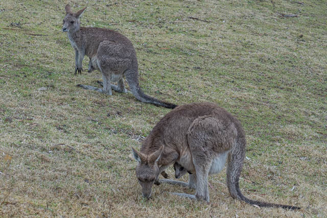
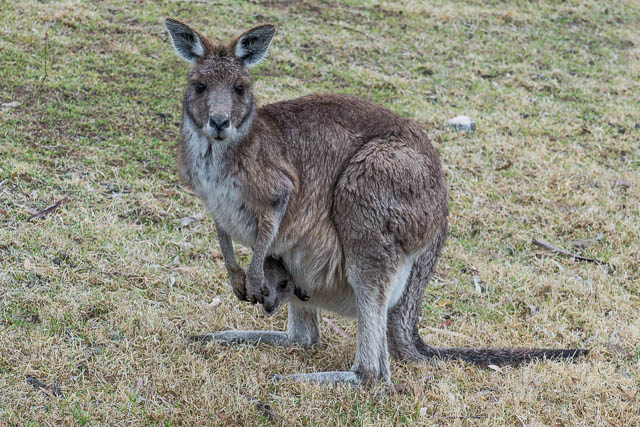
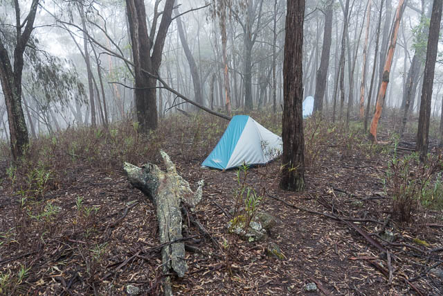
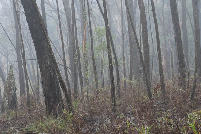
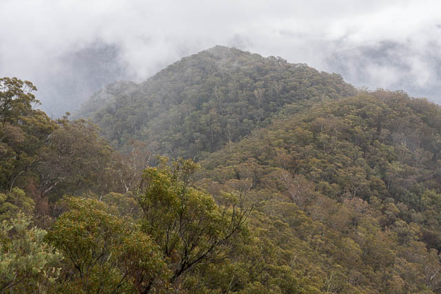
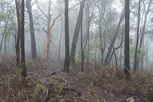
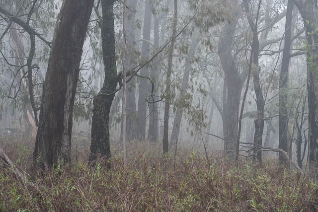
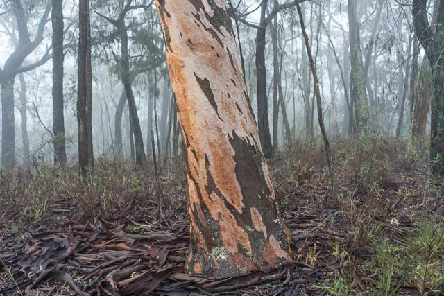
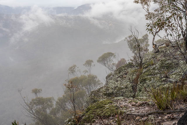
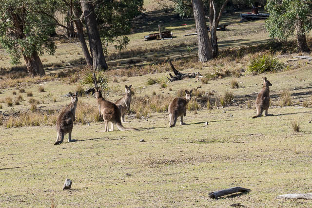
The first day of the weekend was a bit wet and misty. The precipitation was only light drizzle and with the mist it made conditions quite atmospheric. We left the campground and started walking. We could not help noticing all the Wallabies. Lots of them, and many of the females with joeys in their pouches.
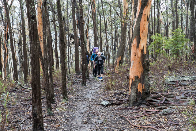
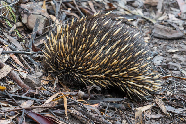
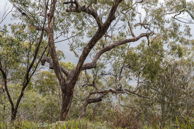
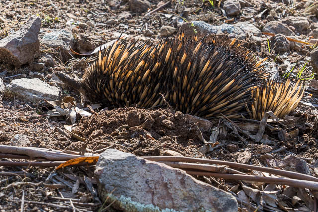
It did not take long to leave the farming country and start along the ridge top track. We climbed up to Ironpot Mountain. On the way we spotted a nice Echidna.
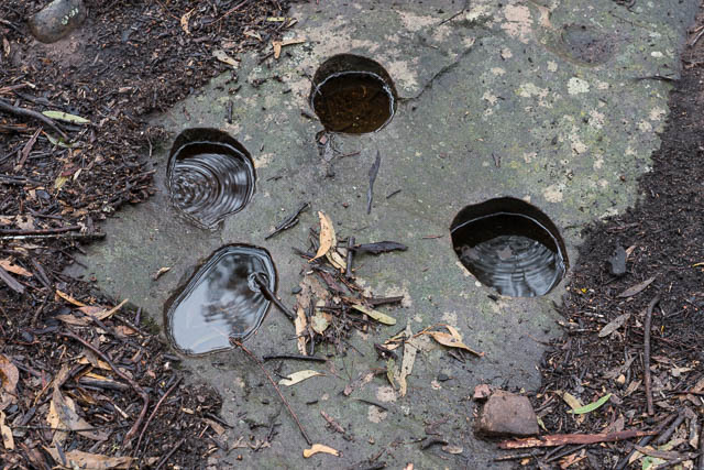
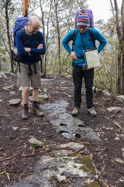
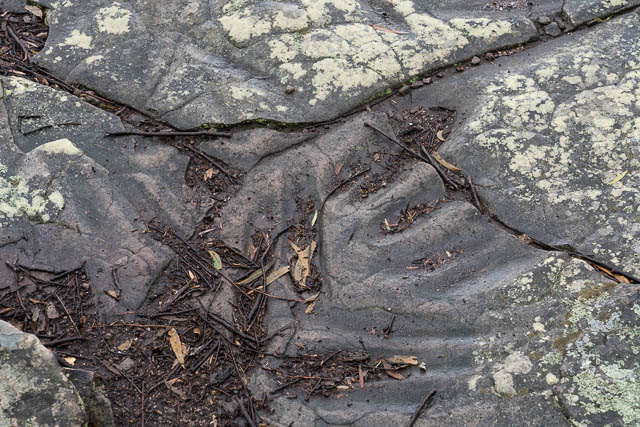
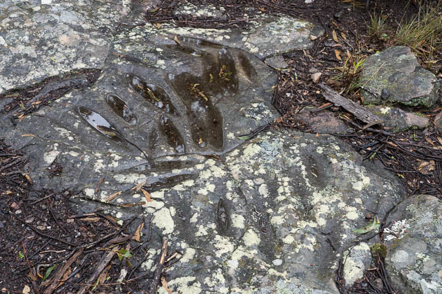
On this section, we passed an area with a number of round holes. I am not sure if the ridge is named after these. Are they Aboriginal “pots” or wells used to store water? Or perhaps used to food preparation – eg cooking (eg water can be boiled by adding rocks heated on a fire to water in the holes). Do the holes have a natural origin – are they made by some physical or chemical process? Or were they bored somehow by Aboriginals? Its easy to imagine they could be made by a rock swirling around a rock depression and wearing a hole in a rock shelf creekbed, but could this happen high on a ridge?
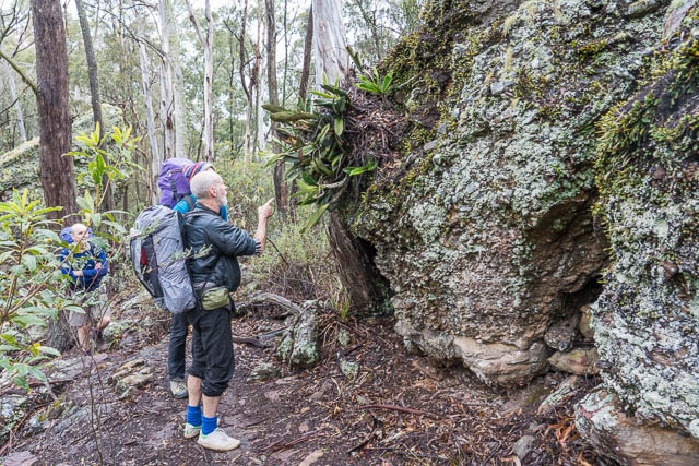

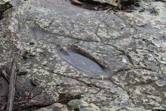
Near the “pots” are some Aboriginal sharpening grooves.
We found a nice campsite right on the highest point, where the track down Ironmonger Spur starts.
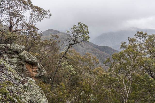
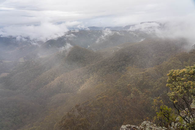
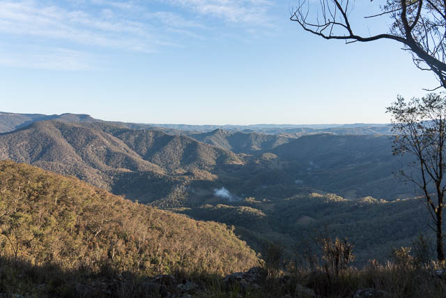
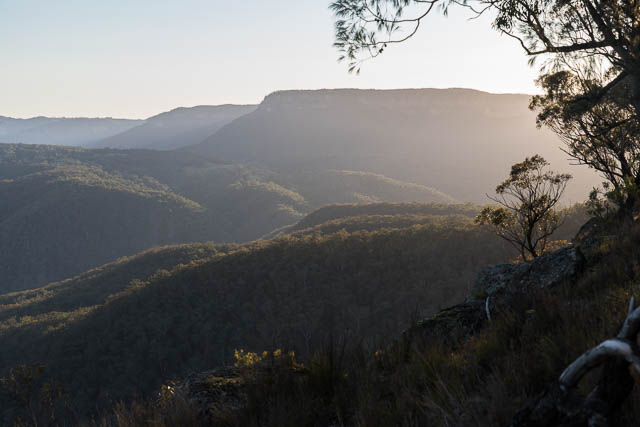
Not far from the campsite is a great viewing platform with excellent views of the Coxs River, Galong Creek and large part of Megalong.
Near the lookout are a lot more Aboriginal sharpening grooves.
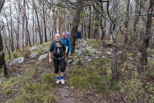
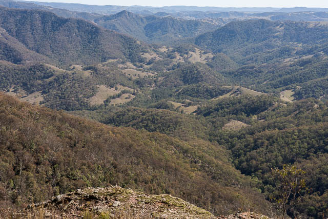
On Sunday, the weather was fine as predicted. Dave Os and Keith explored the next part of the ridge out to and beyond Tinpot Mountain and Goolara Peak. I stayed back near the camp with Digi Dave.
On the walk back to the Dunphy Campground, we posted a lot more Wallabies and another Echidna.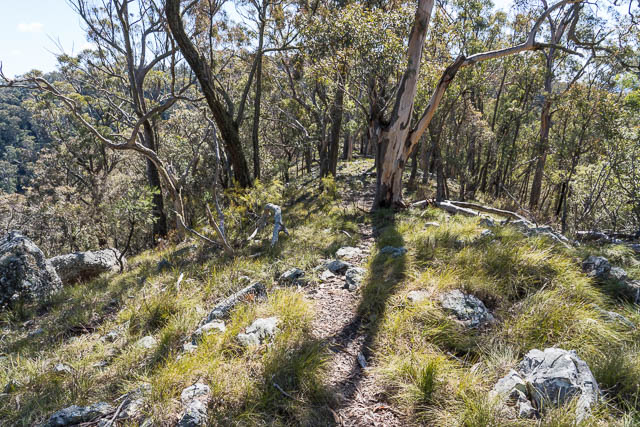
Hello David,
I saw some pot holes in a cave on Wentworth Creek walk off Mt Hay Road. Maybe they were made by Aboriginals too. Any way of finding out?
I can’t work out how to send you photo.
Renée
If the holes were near the creek – then they could have been made by water.
No, the holes were on the floor of a cave overhang about 100 mtrs above creek?
Hello David,
I saw some pot holes in a cave on Wentworth Creek walk off Mt Hay Road. Maybe they were made by Aboriginals too. Any way of finding out?
I can’t work out how to send you photo.
Renée
Hello David,
Is Iron Pot ridge on private property?
And is there more than one way to get to it?
Please excuse my ignorance. Thanks foe your help.
Some of it may be on private land – with access allowed for bushwalkers. Further out – according to the Council online map -it is a Crown Land Reserve.