
Wendy had invited me to join her on a holiday in Tasmania. Her main objective was Federation Peak, but recent bushfires resulted in that area being closed. To replace it, I had suggested a traverse of the Du Cane Range. Wendy thought that sounded good. In the original plan, the warmup trip was to Frenchmans Cap. That area was open, and it was also close to our starting point for the Du Cane Range.

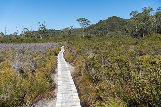
It had been a long while since I had visited Frenchmans Cap. I had visited the Cap in May 1979 and then a few years later in January 1982. So a new visit was long overdue. In recent years there have been changes to the track. Suspension bridges replace the old crossings of the Franklin and Loddon Rivers. There has been a major track re-routing and upgrading along one notorious section of the old track – a very wet body section – the “sodden Loddon Plains” has been diverted to a new higher level route, partly financed by a generous donation by businessman (and bushwalker) Dick Smith. The new route is very preferable to the old route. And also, recently (April 2018), the Lake Tahune Hut has been replaced.

After flying in to Hobart with Wendy, we headed off to New Norfolk to buy fresh food to supplement what we carried and then reached the Frenchmans Cap carpark late afternoon. This gave us plenty of time to pack what we needed and then walk the short distance down to the Franklin River to camp.
We soon reached the suspension bridge. We found some nice campsites a short way upstream on the true right bank.

Next morning, we crossed the river and continued on along the very dry and well built track. A very hot day was forecast, and the forecast was indeed accurate.

We reached the Loddon River, where we stopped for a snack and then continued on to the new deviation. Not far pat here, we noticed while walking along a section of duckboard that some of the vegetation on the downhill side of the track had died. Possibly Phytophthora?
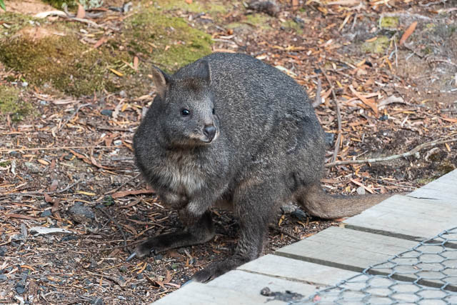
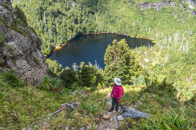
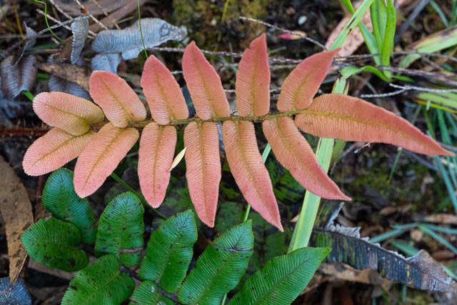
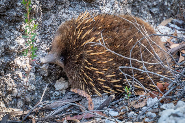
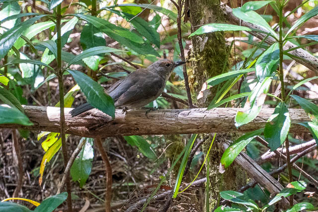
Part way along, we stopped for lunch in a shady spot and then continued on to reach Lake Vera Hut in the early afternoon. This was a beautiful spot to wander around. We had a swim in the lake and checked out the local vexation and wildlife.
It was pleasantly cool in the hut, so it was not a hard decision to stop there for the night. Quite a few other walkers were around – staying i the hut or camping outside on tent platforms.
The next morning the weather was a good deal cooler. We had breakfast and set off early for the walk around Lake Vera and then up to Barron Pass.
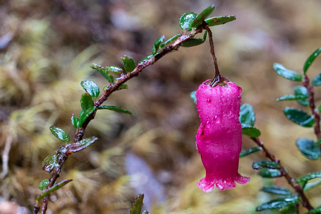
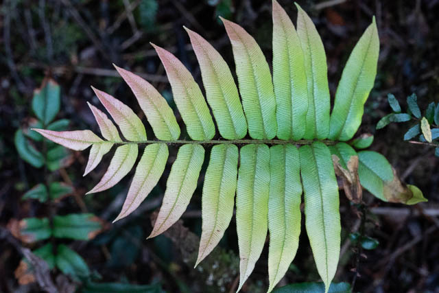
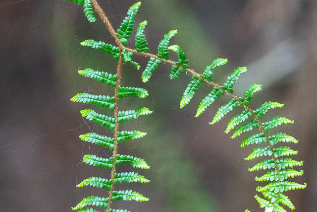
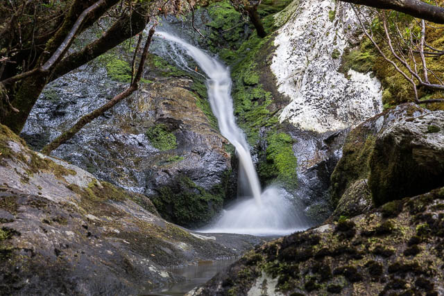
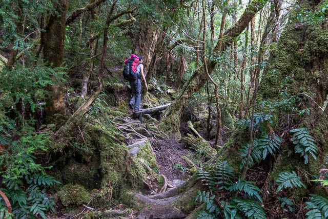
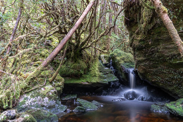
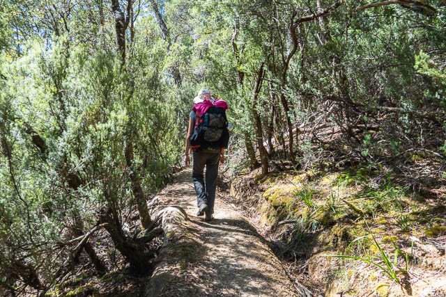
This section of the track is slower walking with lots of tree roots to contend with. But it was very pretty with some beautiful cascades and rainforest.


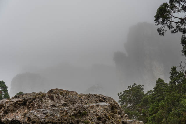
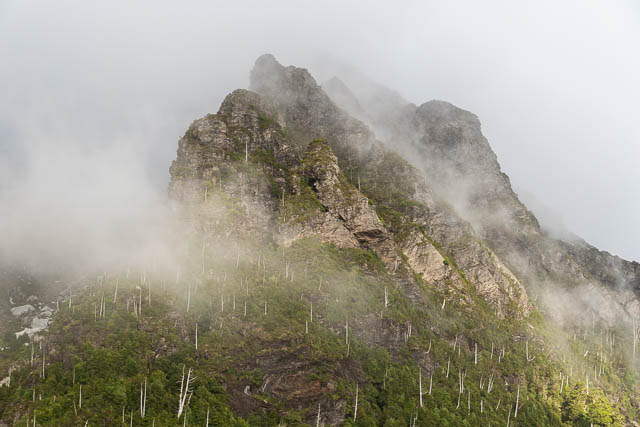
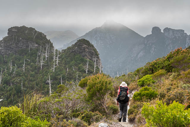
At Barron Pass, it was too misty for good views. We kept on walking.
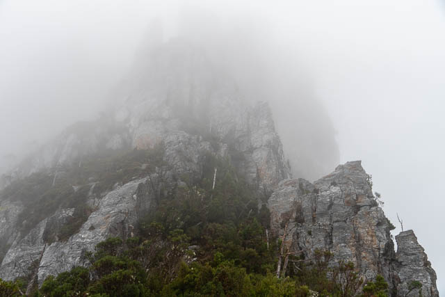

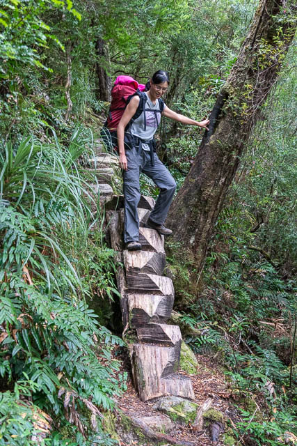
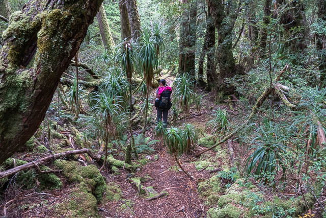
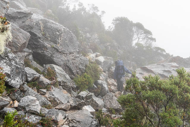
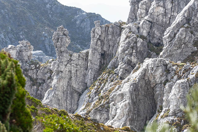
The track here sidles around a peak and in the process passes through more delightful forest. Further along there is some scree. At one point, we found small cave to shelter in while we had a snack. It had just started drizzling.


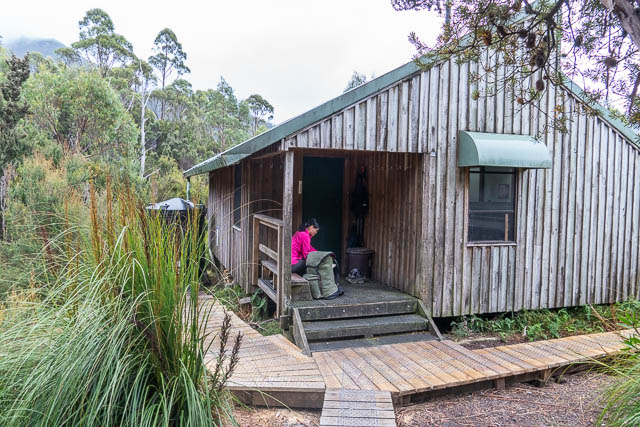
We then continued through Artichoke Valley and soon arrived at the new Lake Tahune Hut.


The new hut is certainly very cosy. Its windows are triple glazed, it has heaters power by a small hydroelectric scheme, and the power also provides lighting and USB charge points. Its not a big hut, and is supported by tent platforms. A few climbers were occupying the hut waiting for the weather to clear. All other visitors had beaded down.
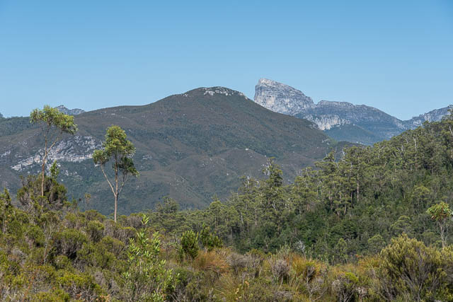
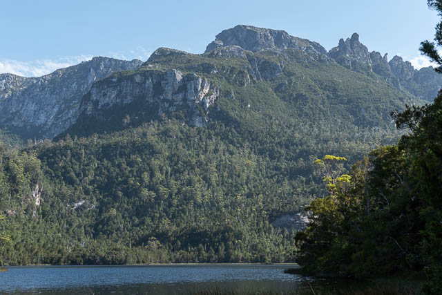
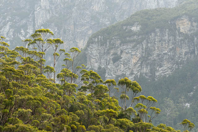
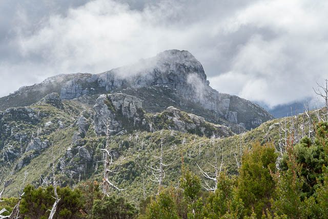
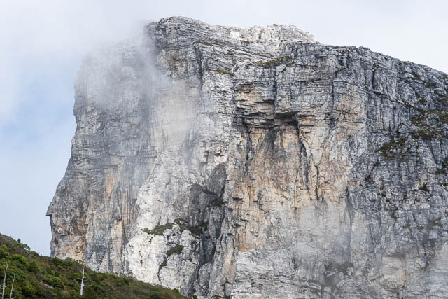
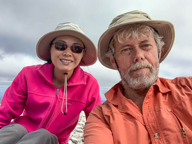
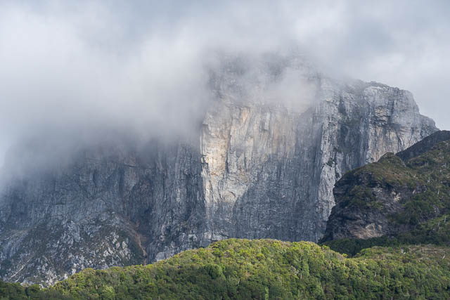
It was still quite misty. But while having lunch the weather cleared. So we decided to spend the afternoon climbing to the summit of Frenchmans Cap. The track to the top has been re-routed from the one I remembered, and seems to involve more scrambling. But we were soon on top. The views were great!
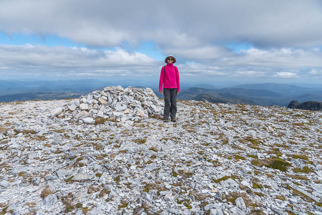
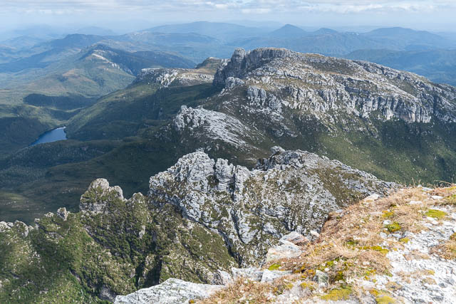
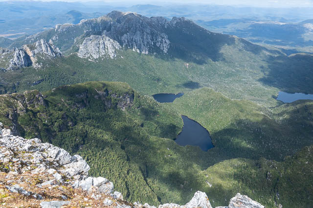
After some time of top, we headed back down to the hut for a comfortable night.

Next morning, we packed up and started back down towards Barron Pass and Lake Vera. It was misty at first, but had largely cleared up by the time we reached Barron Pass.

At Lake Vera Hut, we stopped for lunch and a siesta. Then we continued along the track to camp at the Loddon River. We found very pleasant campsites near the suspension bridge.

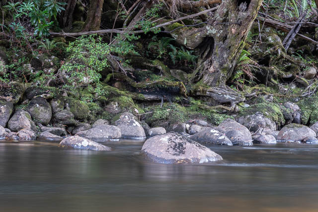
After setting up camp, I was nearby taking some photos of the river, when my camera locked up. I tried many things, but the camera controls remain frozen for the rest of the Tasmanian trip – and I had to fallback on using my smartphone for taking photos.
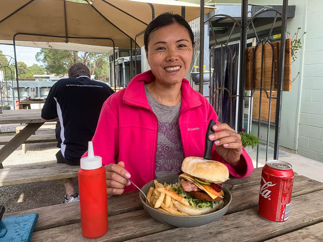
Next morning, it was a short walk back to the carpark, and then a short drive to Derwent Bridge where we had lunch.
More photos from this walk are online here.
Great report