
A group called the Walking Volunteers have been responsible for mapping walks along the coast of Sydney, and now they have mapped a new walk from Parramatta to Penrith that they are calling the Great West Walk. One notable feature of this walk – is that it passes through the newly opened up Wianamatta Reserve near Ropes Creek. This was previously Commonwealth Government land used for military purposes and out of bounds to the public.
A set of maps and stages was on the Walking Volunteers website, but that seems to be currently offline. Alternative sources are from Bushwalking NSW and Google Maps.
The start at Parramatta
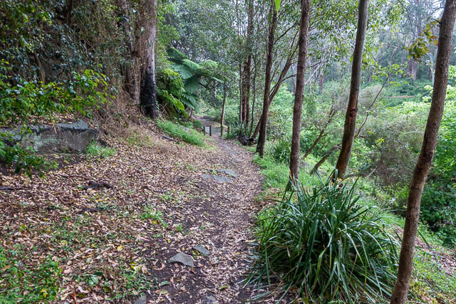
The walk was to be officially opened on the 11 October and a group was going to walk it in five daily stages. I thought it would be good to see what the country was like – so decided to check it out. On the day I walked the first stage, from Parramatta to Toongabbie. It was quite a wet day, but it was reasonable walking and the section traversed surprisingly good bush. I intend sometime in the future to complete the rest of the stages.
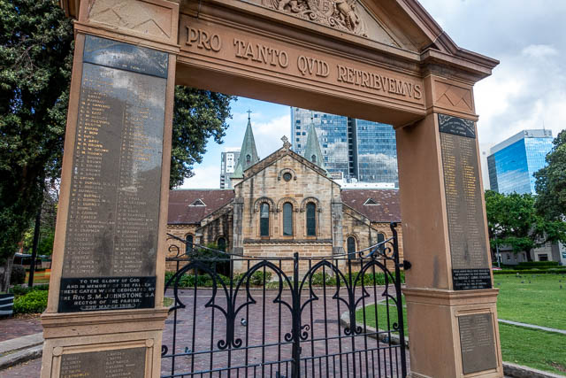
I started from Parramatta Station, and walk to Parramatta Park. There I saw a group of people, some of them in suits and making speeches. I decided to keep walking.
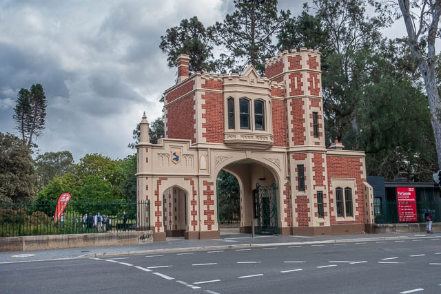
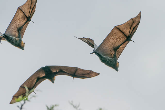
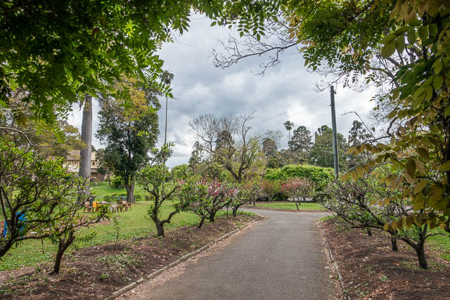
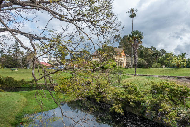
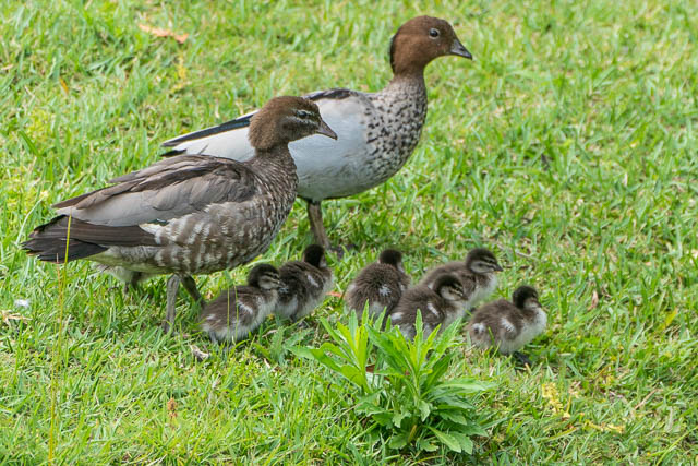
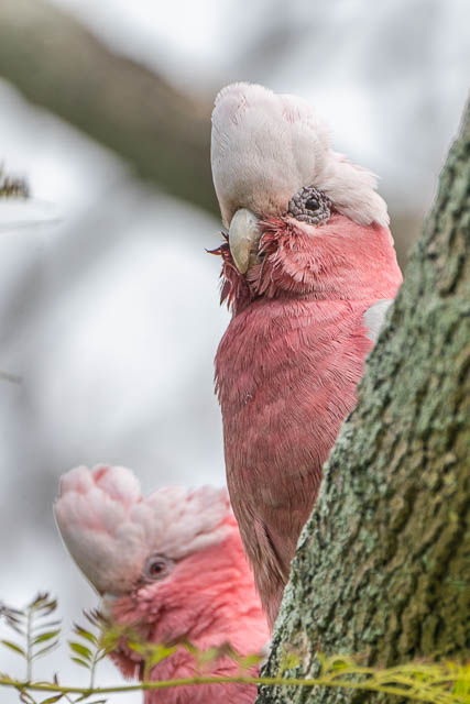
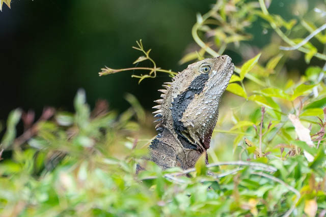
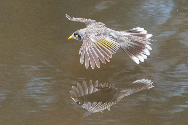
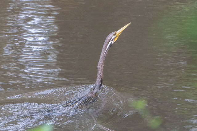
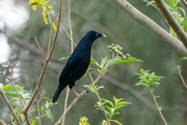
Parramatta Park was nice – with good paths, historic buildings, beautiful gardens and trees. There are also Flying Foxes, lizards and birds.
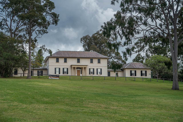
Old Government House
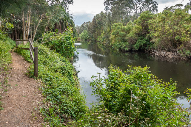
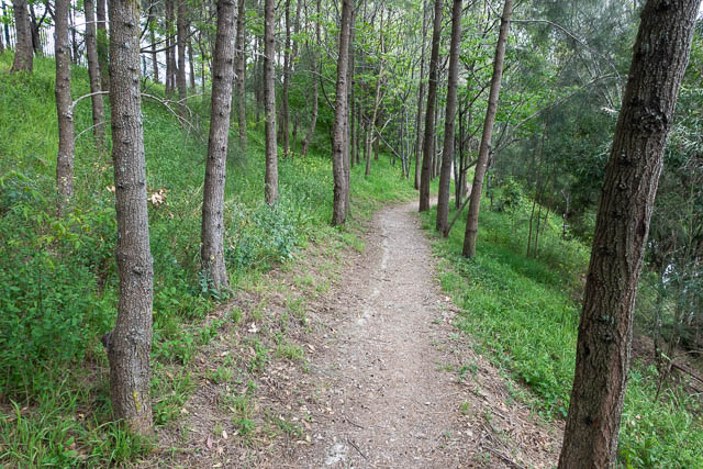
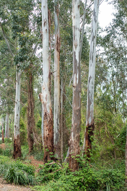
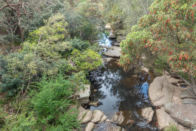
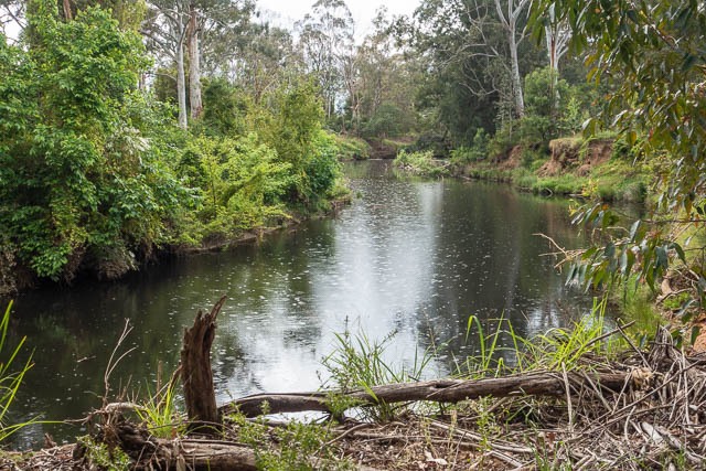
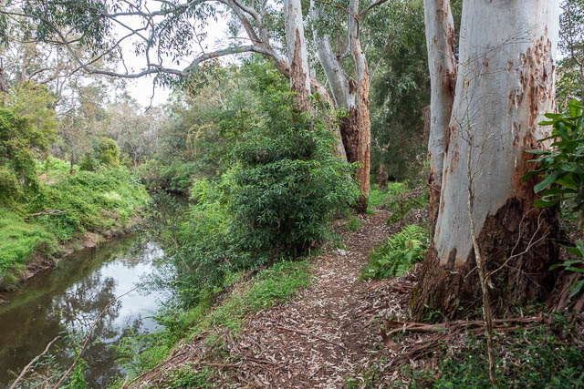
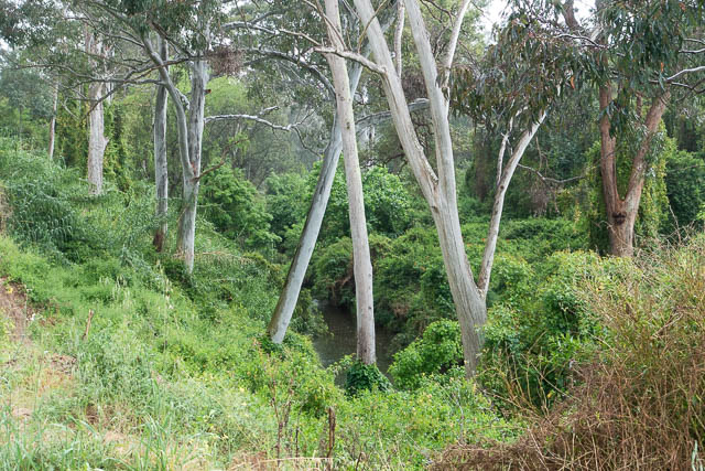
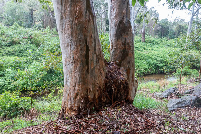
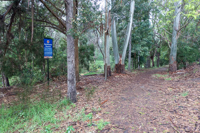
You need to be careful to find the right path to exit the Park and follow along the Parramatta River. The path follows the river to its source – where it starts from the junction of Darling Mills Creek and Toongabbie Creek. My route was along Toongabbie Creek. Much of the rest of this stage was though bushland reserves along the creek.
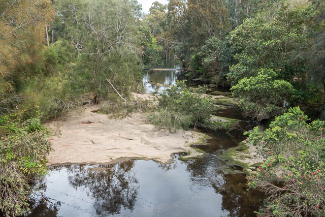
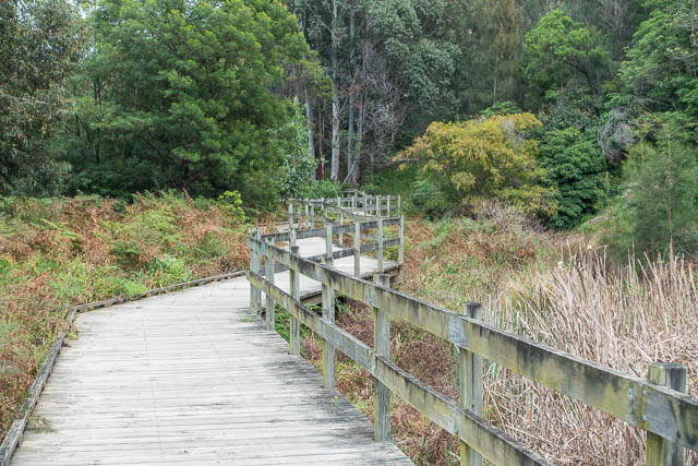
The path crosses the creek a few times. This part is certainly pleasant walking.

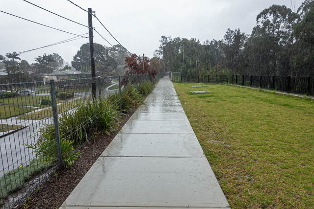
As I continued, it started to rain. It was forecast and I was prepared. But coming up was a small park with a shelter and picnic table – Robin Hood Park. It was a good place to stop for a break.

The rain appeared to ease, so I continued on.
But further on the rain increased in intensity. There were a few shelter options – a small cave, or under the bridge at Old Windsor Road.

I persisted, walking under y umbrella until I got to a large linear park fairly close to Toongabbie. Here were plenty of picnic tables under shelter and I chose one to have lunch.
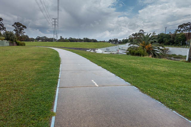
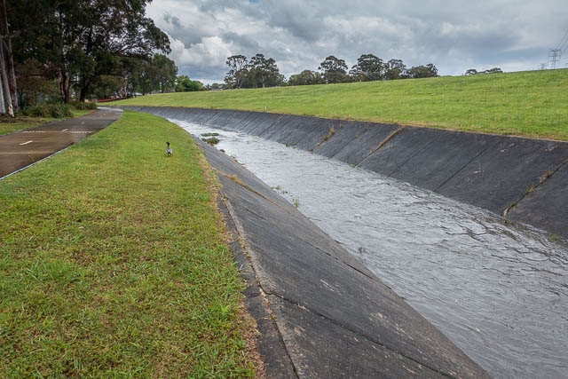
The last part was along the now concrete lined Toongabbie Creek and then along Girraween Creek and short road walk to Toongabbie Station. I think this is the first time I have caught a train from this suburb which seems notable for the number of astrologers that have set up shops there.
Great to see a review of the new Great West Walk. Looking forward to your reviews of the next stages. Can’t wait to get out there and walk it!
Today I tried to walk from Toongabbie to Parramatta (the opposite way from the description above). Despite the recent flooding, I did ok from Toongabbie Station to shortly after the start of the Redbanks Track. At Hopkins Road (near where Coopers Ck joins the Toongabbie), the track is blocked by major stormwater/erosion control work, scheduled to last until late 2021. I trudged on the streets to the Briens Road bridge, then tried to rejoin the Redbanks Track. Again I was blocked by the same waterway management project. So I forded the creek (manageable if no rain) and walked in the old overgrown track on the other side (the southern bank) all the way round the back of Westmead Children’s Hospital. At Redbanks Road, I tried to join the Governor Phillip Walk. But it too is now closed, all the way to Parramatta Park, because of erosion of a chunk of the track. I persisted, and made it to Parramatta Park, but then had to climb fences and dangle over a weir on a tributary to get access. There, a gardener told me the track has been closed for a few months, and as far as he knew it would not be repaired. So anyone reading this should not expect the same easy access as the blog describes.
Thanks for this update. Bad news! I hope the track is restored soon.
Hi Dave
We walked from Parramatta to Toongabbie on 29 November, hoping to do the rest of the walk over the next few weeks, and have a couple of updates:
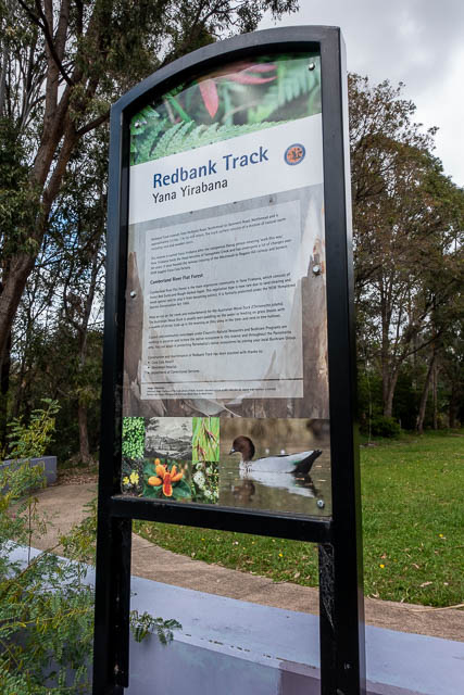
Governor Phillip Walk is still closed from the gate near Glengarriff House to Bridge Rd. But we managed to get back onto it at Bridge Rd and found the track to Governor Phillip’s Camp at the junction of Darling Mills and Toongabbie Creeks (look for the firehose box near the river!). This historic site is sadly overgrown and neglected – shame on Parramatta Council. You can then follow Toongabbie Creek behind Ronald McDonald House to Redbank Rd.
The works that Molly described in Parabianga Reserve have been completed: we walked the whole of the Redbank Track. But a section of the Pemulwuy Loop north of Hammers Rd was closed for removal of asbestos. Work was supposed to have finished by now but is probably behind schedule due to the rain.
We didn’t notice the astrologers at Toongabbie but we had an excellent Sri Lankan lunch at Xdream Cafe on the other side of the railway line!
Thanks for that update