There was a significant birthday to celebrate. Pantoneys Crown is hard to beat for a venue.
A group of us (Chantal, Mitch, Peter, Myles and Jane) set off from the hill above Baal Bone Gap on Saturday morning. Down a very steep hill – watching some 4WD antics on the way – then out to the Gap and the pressure reducing station. Our latish start mean it was better to walk the fast route to the Crown on the Saturday, and return via the longer but more scenic Baal Bone Point route on the Sunday.
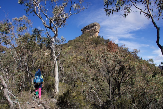
From Baal Bone Gap it is a steep descent along the road that follows the water pipeline. We found a nice sunny and grassy spot for lunch at the bottom of the hill, then a little bit more road walking before we could turn off – at first for a few hundred metres up a small side creek then up an open ridge that led to the Crown.
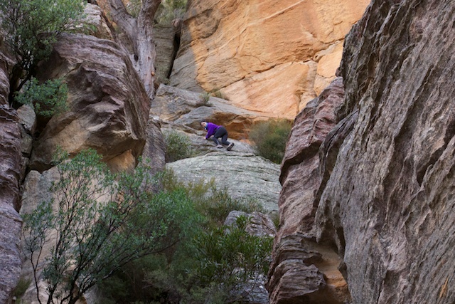
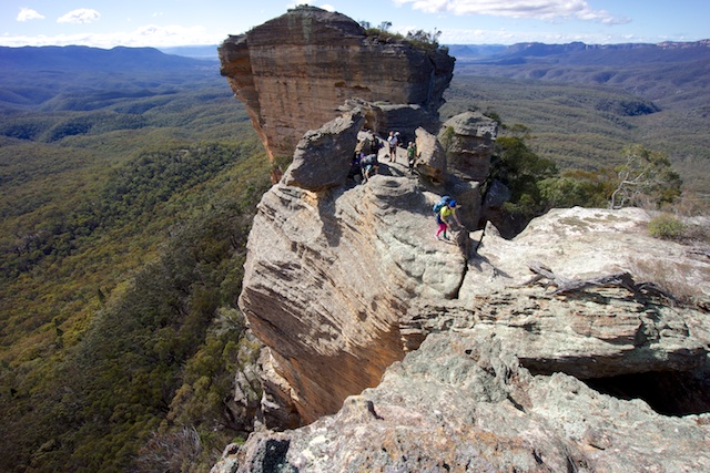
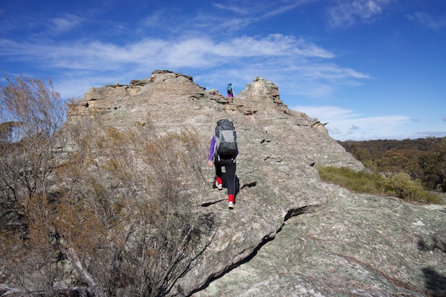
Close to the Crown, the ridge became a lot steeper. But it was still easy going right up to the cliffs that flank Pantoneys Crown. Not far around on the western side lies our pass. It is a steep scramble up through the cliffs to the top of the Crown.
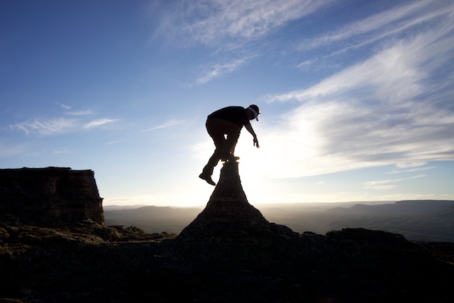
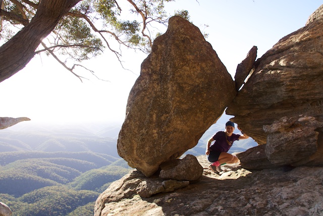
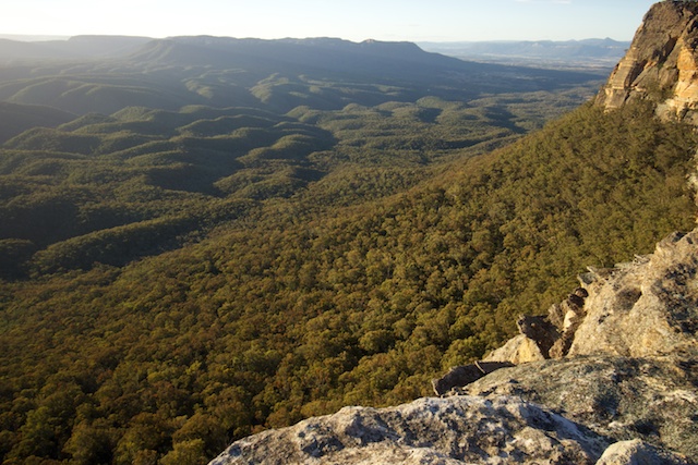
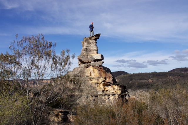
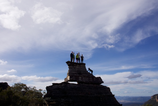
Then, we found ourselves in a wonderland. The top of Pantoneys Crown is an amazing place. It is a long thin plateau – more like a mesa. From anywhere on the top – there are great views in all directions. There are many possible campsites. We chose one near the south end.
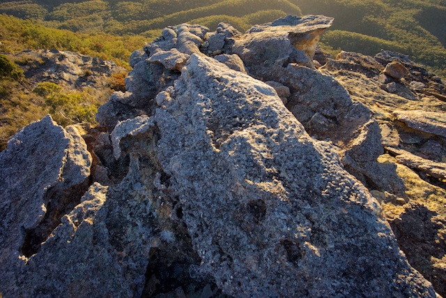
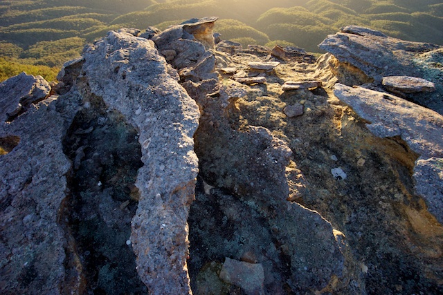
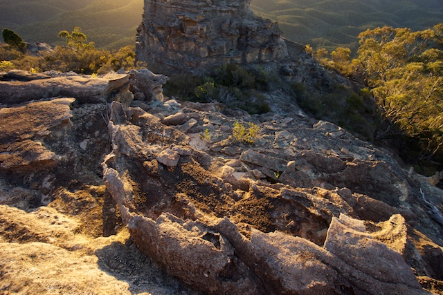
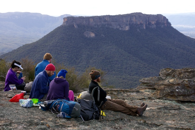
After setting up camp – we wandered around taking in the views and taking photos. For me there were a lot of photos to take. It was sunny, but a quite cold day with a brisk breeze coming from the south. It was right on the golden hour – where the sun is low providing a soft light on the delicate and intricate rock formations.
Competing with the photo opportunities, was the offer of crackers, cheese and wine while watching the sun set. A difficult choice….. but there was a birthday to celebrate.
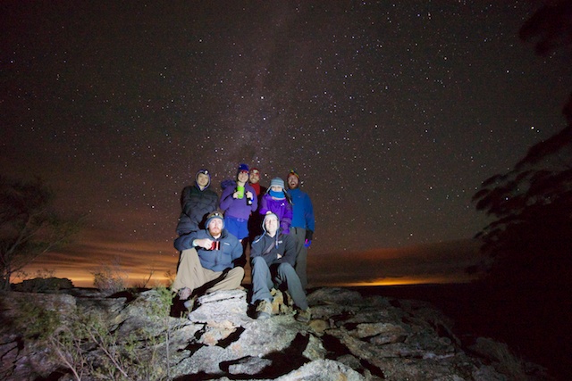
When the sun did set, we all retired to a cosy seat by the fire and continued with our birthday celebrations. Not long after dark – Albert and Penny joined us.
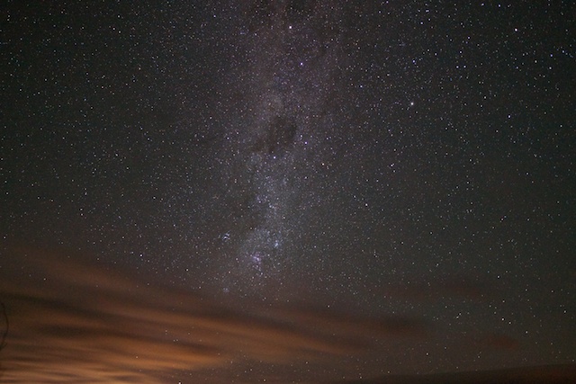
It was an clear and starry night, helped by a new moon.
I was hoping that the clear conditions would continue in the morning – as there was an alignment of three planets and the moon to try and photograph just before dawn. But when my alarm went off – it was quite cloudy. I dozed off for a little more sleep – easy to do when it is cold outside. But I did eventually get up before the sun did and walk the short distance to see what dawn would bring.
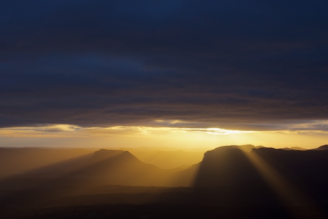
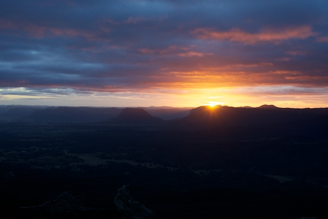
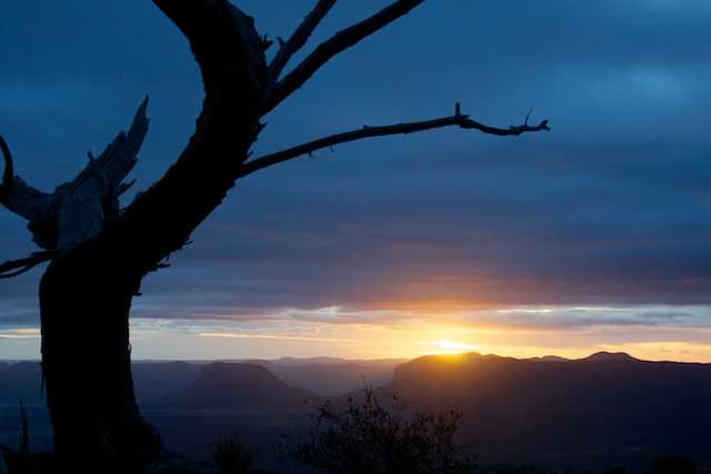
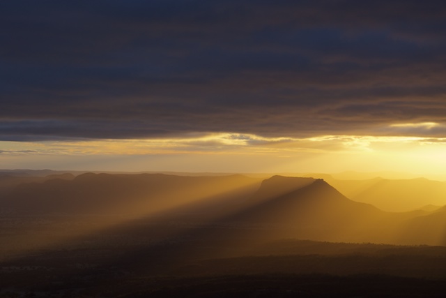
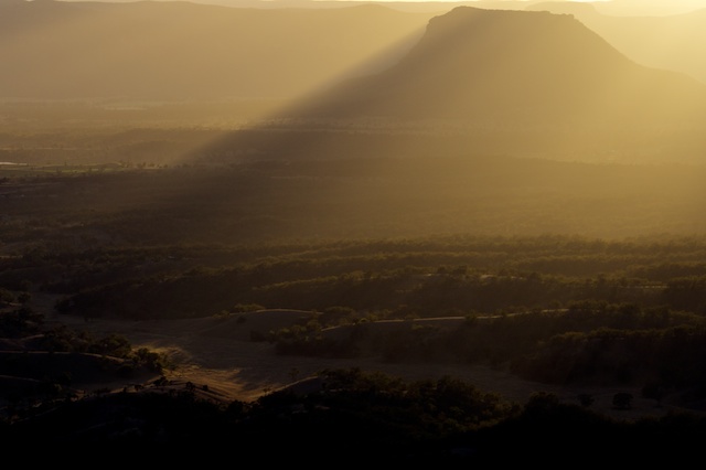
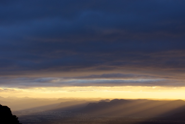
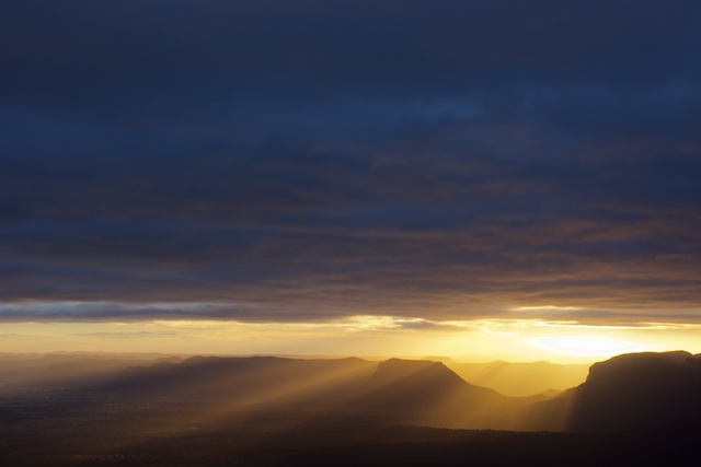
The actual sunrise was pretty ordinary – not surprising give the cloud cover. But a few rays of sunlight did emerge in the east. I was about to pack up my photographic gear when a good light show started. It was another golden hour – with golden rays of the sun merged from the clouds and penetrated to the bottom of the Capertee Valley.
When the sun rose high and the light show faded, I headed back to camp – to find most of the party still in their tents. They had missed the spectacle.
But once a roaring fire was going, only an hour or so later, the others got up and we enjoyed our breakfasts.
Then is was back to the pass, and down through the cliffs, across the saddle and then up to Baal Bone Point. Then is was fast, easy walking back to Baal Bone Gap with a lunch stop and a few photos stops on the way. The last part of the walk was back up the steep hill to the cars.
This is magnificent country to spend a few days in. Thanks to Chantal for organising the walk.
More photos are on my website here.






Awesome pictures. Love the Capertee Valley.
Your photos are glorious. I idly googled Pantoney’s Crown this am when I meant to be looking up the weather in Lithgow where we are heading this afternoon and I found your blog. My 68 yr old husband is walking up PC tomorrow with his walking mates – and I was enchanted. I will come back to your blog again and look at your other wonderful photos. Have you published any?, or any books? Happy walking.
Ruth Maltby
Thank you Ruth for your comments. From time to time I have had photos published – mainly in magazines.
Dave
Hi David, just wondering if a map is needed at all to climb Pantoneys Crown? My understanding is that you can drive to Baal Bone Gap in a 4WD and then it is a self-guided walk to the Crown? I’m a bit worried!
Kindly,
Nicole
Well it is self guided – but you do need to navigate and there are no tracks for most of the way. So you definitely need to take a map and compass, and know how to use them or a GPS with topographic maps. Also – there is some scrambling involved – climbing up and down the passes. You need to be confident in climbing on steep rock.
Hi Dave,
Love the photos mate. Was just wondering. Can you drive all the way to the pressure reducing station or is the road a bit challenging. How far down moffits trail can you get before the road gets a bit sketchy?
Depends on which way you go. If going from the Newnes Road – it is 2WD just until the last steep downhill section – about 3 km before Baal Bone Gap. This bit is very steep – 4WD, not Subaru. It is easier to drive from Ben Bullen – but still needs a 4WD – perhaps OK in a Subaru.
Thanks for the speedy reply. Am heading out to pantoneys over the weekend. Am planning on going down the crown creek trail and coming back via Baal bone point. Will give it a go in the 4wd. Are there spots to camp along moffits trail if I can’t make it all the way to the gap?
There are lots of campsites close to where the fire trails meet up – but they are often popular with 4WD’s and trail bike riders. But there should be plenty of places where you can pull over and camp.
There appears to be a road from Cullen Bullen through Ball Bone Mine, sealed for first 2km, then a 5km of wheel track straight into the Gap, looking even quite flat. On the map, this seems the shortest & easiest access to the start of the walk. Why no one is talking about it? Is it because the road to the mine might be private and not publicly available, even by the arrangement with the mine owner?
Maybe, alternatively it’s possible to cycle there on a mountain bike and “walk around” the mine? The track, looking so flat on the map should be a viable alternative access with under 10k of cycling. I guess about as easy if not easier than 3km of rough walk from the top of the hill. And no car is required! You can take a bus to Cullen Bullen.
That road is a coal mine road and provides no access to Baal Bone Gap.
Hi David,
I just did this classic blue rocks walk combined with cycling from Lithgow Rail. Surprisingly easy cycling, even with my road bike. The whole length of Swamp tail Creek Trail is very smooth and very gently graded. The whole 30km trip:
https://www.google.com.au/maps/dir/-33.4803675,150.1571123/605+Wolgan+Rd,+Lidsdale+NSW+2790/-33.2597066,150.0992071/@-33.3616027,150.0802356,12z/data=!4m10!4m9!1m0!1m5!1m1!1s0x6b0df14121a4d7d5:0x62363e61e496bd7!2m2!1d150.0984708!2d-33.3394947!1m0!3e1
took me more than 1h 48min each way with the pack but still did add only half a day to the entire trip. I’ll post a few words about the walk itself, elsewhere.
Hi Dave,
My friends and I would like to spend one day in Gardens of Stone national park and explore a bit. We will park at Baal Bone Gap, but I’m not sure which side has better views – Point Cameron, or Baal Bone Point? We probably have 6-7 hours for the walk. Do you have any recommendation?
Regards,
Freeman
Note – that to drive to Baal Bone Gap is 4WD only. Both sides have very good views. But in only a short time – I would favour walking out to McLeans Gap and beyond that to the East – along a faint track – that leaves the road to Cape Horn.
Hi David
I heading up the Crown for the first time on the Mothers day weekend with a few hikers including Mums, We were wondering if you had any co ordinates for that rock formation known as “The Boot”? We believe it’s not far up the ridge from Baal Bone Gap? Any help will be greatly appreciated.
Regards
David “Macca” McKinley
You are correct in the location of that formation. Once you climb out of the gap – then it should be easy to spot, a short distance to the north.
Thanks
Hi David
Thanks so much for the detailed post! A group of us are wanting to hike out to PC in the coming weeks and I was wondering whether you had any information on the current state of the roads? We only have 2WDs and I wondered whether you had any advice for us coming from Sydney as to the best way in. As per your previous post, we felt fine about parking 3km from Baal Bone and walking in from there to avoid the steepest sections requiring a 4WD.
If it’s not a hassle, could I also ask you to clarify where you mean when you say Newnes Road? Thanks so much for sharing your knowledge of the area – it’s so helpful!
Any advice would be greatly appreciated!
Best
Elizabeth
I have not been along the road that goes out towards Baal Bone Gap recently. Its the dirt road that leaves the Newnes Road about 2 km after the Angus Place Colliery. The Newnes Road (there is only 1 road to Newnes) leaves the Castlereagh Highway at Lidsdale (opposite the old Wallerawang Power Station). The dirt road is called the “Baal Bone Trail” on the map but may not be signposted. It goes up onto the escarpment above the Wolgan Valley via the very upper part of the Coxs River. This dirt road can get quite rough – with pools of water that sometimes can be bypassed. Its often not good after rain. I have often been out that way in a 2WD, but its far better in a Subaru or similar. Once on the escarpment it joins the other trail from Wolgan Gap (which is much steeper). We usually park at the top of the very steep downhill when the road leaves the escarpment – at a spot where a side trail leaves to the north and goes to a lookout over the Wolgan valley. The only other way you can drive (4WD) to Baal Bone Gap is along the Moffitt Trail from Ben Bullen.
Hi Dave,
Thank you for the detailed report above. And also I’ve found your report from 2009 with the google maps (http://www.david-noble.net/bushwalking/BlueRocksJune09/BlueRocksMenu.html). To be honest these are the only proper hiking maps of Pantoneys Crown I was able to find on the whole Internet!
We are thinking about doing it the other way around Baal Bone Gap -> Point Cameron -> Pantoneys Crown -> Baal Bone Point -> Baal Bone Gap in 1 day.
A few questions if you don’t mind:
1) Do you remember what was the total distance of the circle? It looks like it should be something around 20-25km.
2) Google suggest to drive via Baal Gone Colliery rather than turning on Lidsdale – what do you think?
3) Would it be possible to drive to the end of Bicentennial National Trail and start from there?
4) It doesn’t look like there is a proper trail there (at least from google maps). Is it the case or is there at least a small path?
5) None of us has climbing experience (but we have a descent hiking experience) – how hard is it to go up/down in Baal Bone Point and Point Cameron? Do we need to climb there or is there a way just to hike? And is it easy to find where to go at these points at all?
6) Is there a way to get to the top of Point Cameron without climbing (either North or South)?
Thanks!
No idea of the distance
No access through coal mine – tall fences and locked gates
Yes
No tracks to the Crown – you need to navigate with map and compass or GPS
Its a scramble – exposed in places. Easy as a rock climb – but without rope generally. Experience in scrambling is advised.
Yes – you can walk there from the south – but you do have to navigate and do some (easier) scrambling
Thanks Dave!