Another walk into the Blue Labyrinth
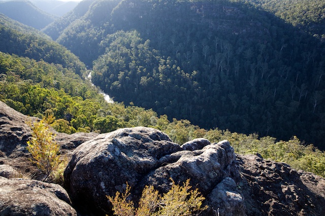
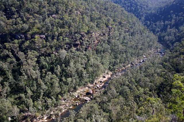
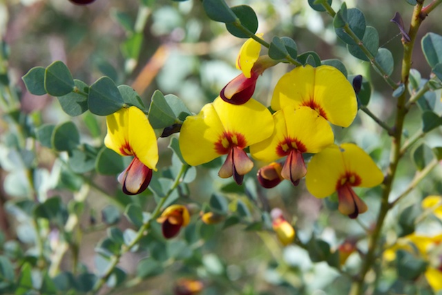
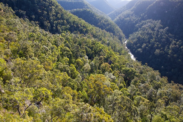
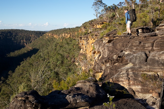
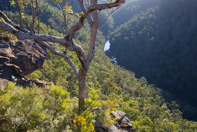
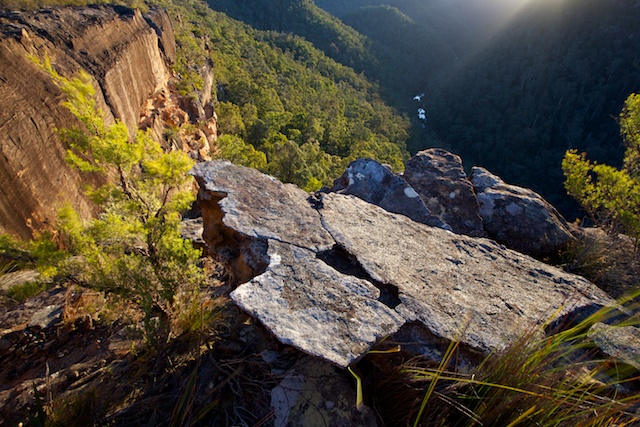
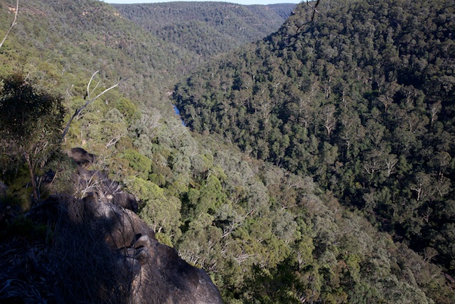
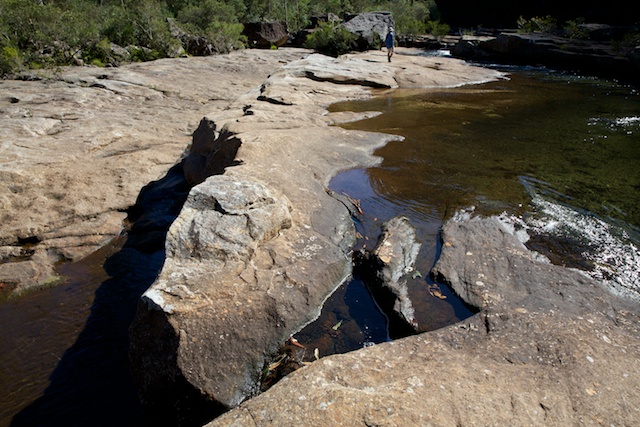
Martin and myself headed out last weekend to explore some creeks and ridges near Erskine Creek. After a late start we set out along the Jack Evans Track. This is an easy, well made and maintained track. Near the start are some rock platforms that give excellent views of Erskine Creek. Around us the wild flowers were in full bloom. It was only August! Too early for the flowers to be out! Climate change at work?
We soon arrived at Erskine Creek and followed a less distinct track downstream. This is still the “Jack Evans Track”. The downstream track and its continuation up the hill on the far side are much rougher tracks. From the top of the hill on the far side, it is not too hard to walk to Warragamba Dam.
Along Erskine Creek here can be found some interesting fossils in a band of shale. Stems of plants have left their impression in the rock.
Our route was only to the creek crossing, which we did easily jumping across on boulders. We then had planned to walk up Big Crater Creek for a bit, climb out onto the ridge to the north, camp on the tops, and then descend back to Erskine Creek via Little Crater Creek. This tributary joins Erskine Creek just upstream of the Dadder Cave.
However, our plans were flexible. Big Crater Creek was very scrubby lower down. So we stopped and had lunch, and then filled our containers with water and then climbed out to the north very close to the junction.
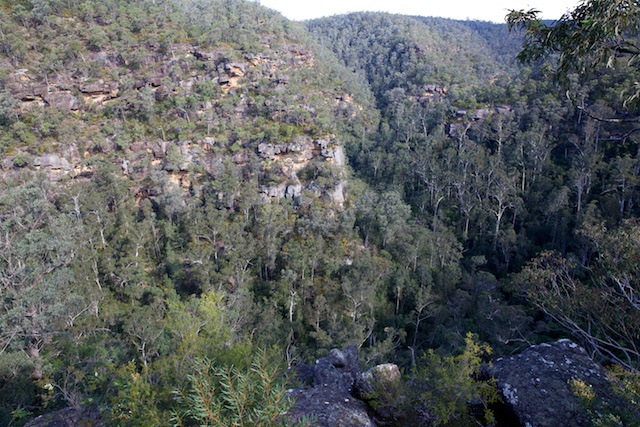
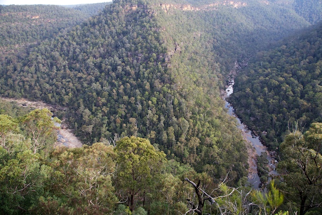
This was quite easy, except for some short patches of nasty scrub – lawyer vine, a nasty native, and then some lantana, a nasty exotic weed. As we climbed, we reached a large cliffline and skirted it to the right. This was very easy and it looked like we on the side of a volcanic neck (the “Big Crater”?). Then an easy ridge to the top.
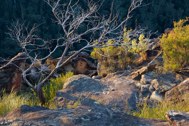
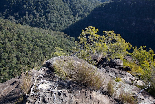
Our ridge walk was quite slow however. More scrub. Often prickly scrub! Slow going with no views. But it was only a kilometre or so, and we soon arrived at a side ridge to the north that I was hoping would take us to a platform, high up above the Dadder Cave – and hopefully a good place for a high camp. But we encountered more scrub, no big flat platforms and no nice campsites. But having a flexible plan – instead of heading back and looking for somewhere to camp near Little Crater Creek – we thought it may be nice to keep going along our ridge. It followed the southern rim of the gorge of Erskine Creek and would at least offer good views.
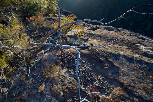
We did find a reasonable campsite on the next high point. It was very windy and we found some spots out of the wind where we could sleep under the stars. Nearby were nice views. It was a very pleasant place to camp. Or would have been except for the wind, blowing coals at our fireplace.
By morning the wind had died. We continued along our ridge and soon reached what we hoped would be our descent pass down to the junction of Erskine Ck and Lincoln Ck.
The pass was steep, but enjoyable and for the most part easy scrambling. We had to do a bit of route finding but were able to follow close to the nose for most of the way. Lower down we did spot a few ducks (cairns), so others had been that way before.
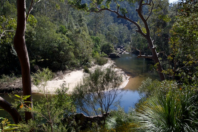
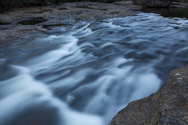
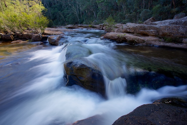
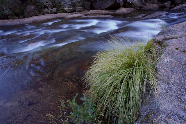
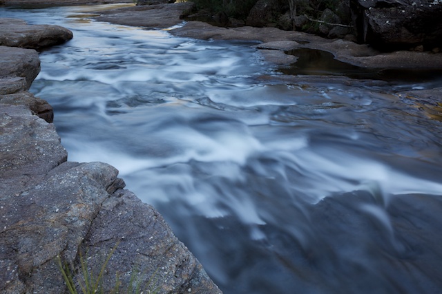
Then we spent a bit of time enjoying the nice slabs on Erskine Creek, where I had been a few weeks earlier. Then lunch and the climb out via the track to Pisgah Rock.
Back on the fire trail, we diverted a short way to visit Machin Crater. This is another small volcanic neck. It had the usual lush green grass and big trees. This crater and the others of Big Crater and Little Crater Creek were no doubt explored by the Hall Brothers (Lincoln, Duncan and Machin Hall) on their pioneering bushwalks in the Blue Labyrinth around 1900.
More photos are on my website here.

