
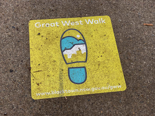
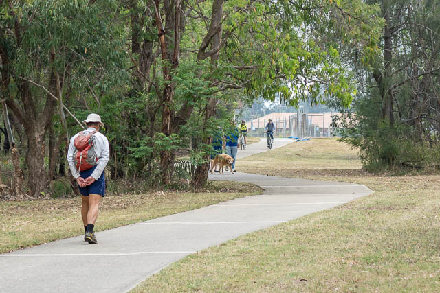
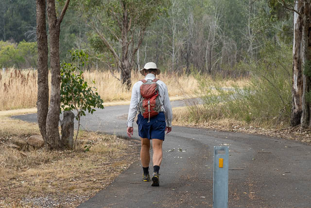
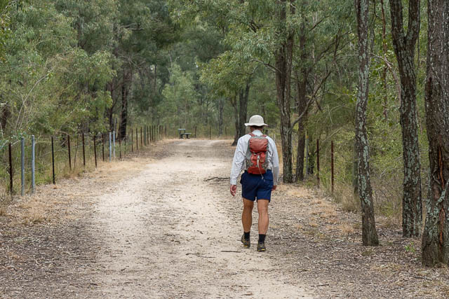
Bob and myself competed another stage of the new Great West Walk. Earlier, I had walked from Parramatta to Toongabbie (and Bob had also completed that section by himself). We had originally planned to go canyoning, but with most canyons closed and a cooler weather forecast than we had expected we thought a walk may be a better option.
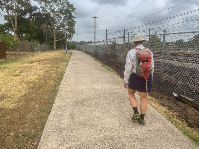
So we caught a train to Toongabbie and then started walking. The first bit was back out to Girraween Creek, a major tributary of Toongabbie Creek, where we joined the main route. Then we crossed back over the railway line and followed an open park towards Seven Hills.
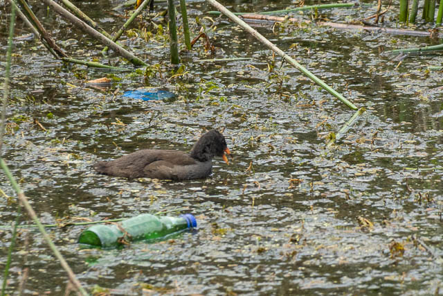
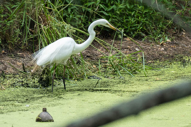
At Seven Hills, we crossed the railway line at the station, then entered the International Peace Park, a long area of wetlands, which we followed towards Blacktown.
We passed an aquatic centre than the walk became a bit messy walking through streets of Blacktown, then crossing the railway line twice – once at the station, then another crossing to get to the big park at the showground.
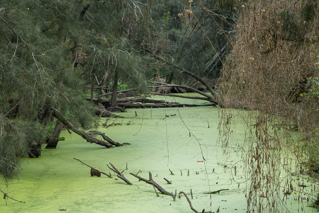
The showground features some nice wetlands, and there is a cafe if you need some refreshments.
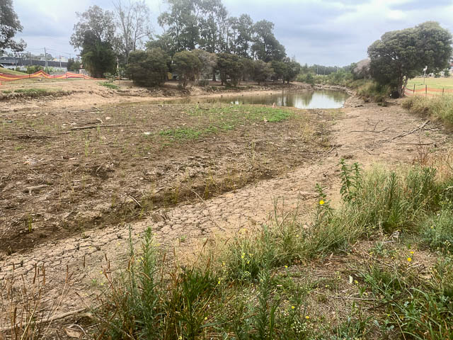
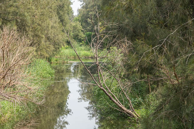
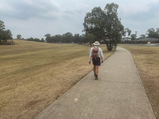
The next bit is some boring road walking, along Richmond Road for a while, then a backstreet to arrive at a long park along Breakfast Creek. This is an attractive bushland remnant. The creek itself is not that natural.
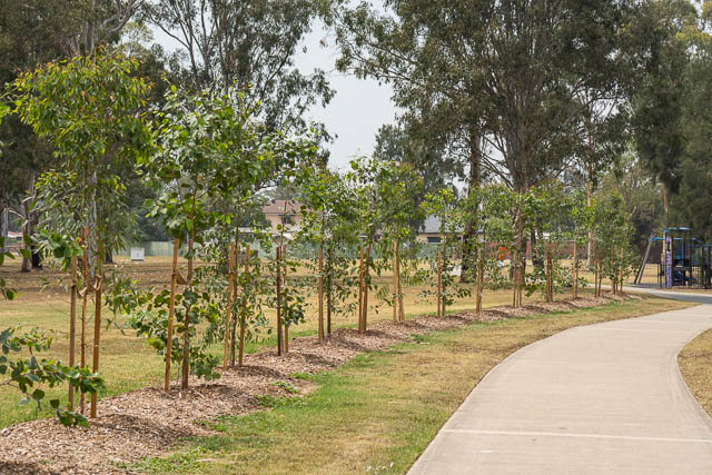
Blacktown Council have done a good job recently planting shade trees along the path.
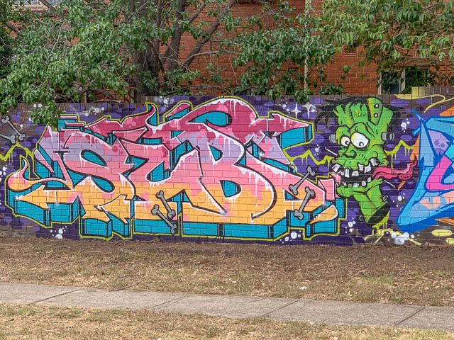
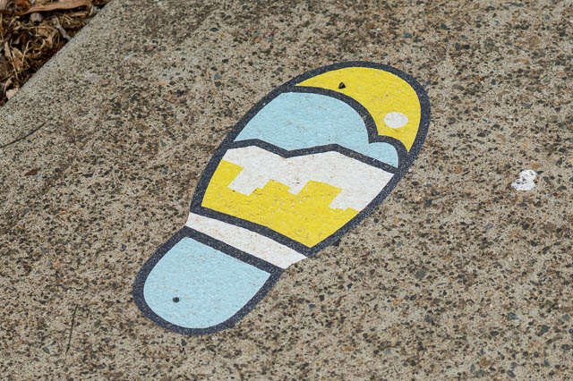
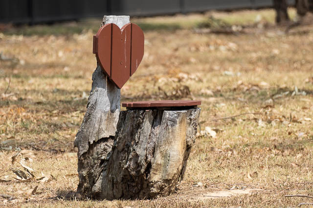
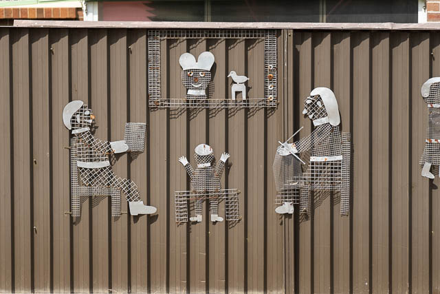
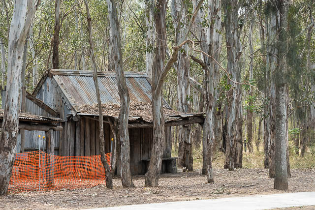
One of the residents living nearby has also added to the walk –
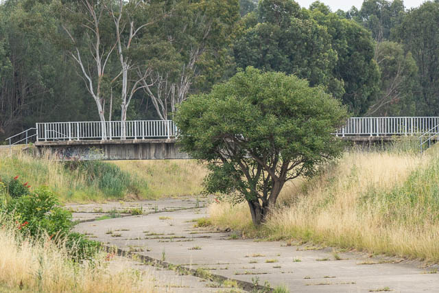
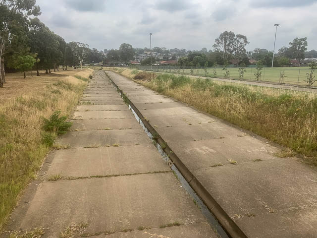
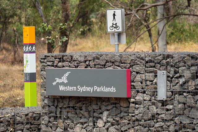
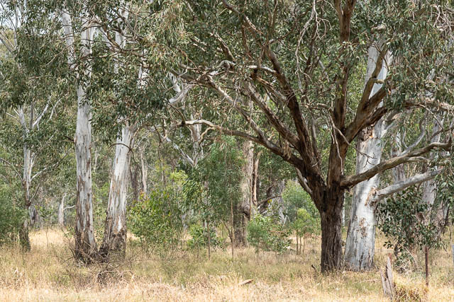
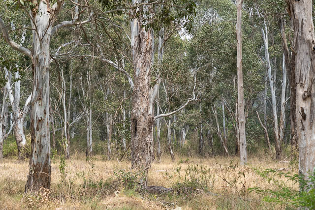
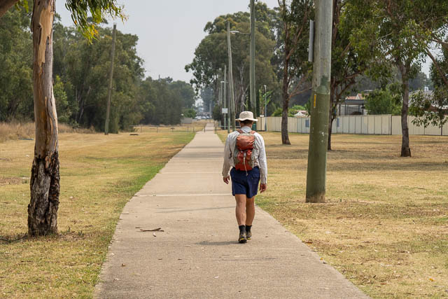
Further long, we crossed a busy road then entered the Western Sydney Parklands. These are an extensive section of bushland remnants.
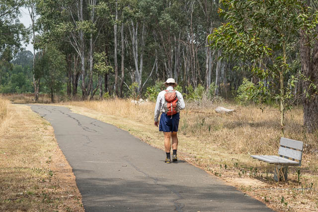
We then had to cross Richmond Road, then more bush to reach Nurragingy Reserve. There we stopped for coffee at the kiosk, and found a shady table to have lunch.
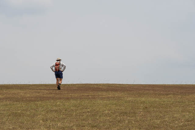
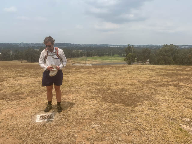
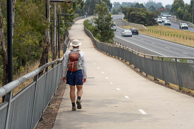
Then we crossed the railway line for the last time, at an underpass and walked past sporting grounds to reach the M7 Motorway. From there it was a short side trip to the summit of Rooty Hill. Unfortunately the smoke haze spoils the views somewhat.
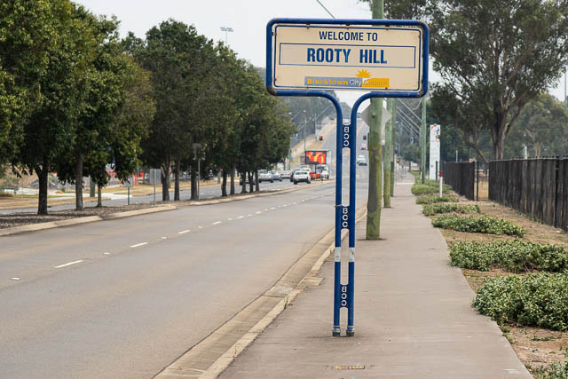
Then back to the M7, and short walking the cycleway to leave it soon after and we then followed a path to the suburb of Rooty Hill.
The path here goes through a long park along Angus Creek, which seems to flow underground through pipes. The last part to Mt Druitt started off through an attractive bushland remnant – the Dr Charles McKay Reserve. This seems to be a local high point – perhaps the high point that an early white settler, Major George Druitt named his estate after (Mt Druitt)? The hill seems to lie off the original estate – but not far off. Another early white settler in the area, was Captain Minchin, who owned the Michinbury estate. He later sold the estate to Dr McKay (and it was later owned by the Angus that Angus Creek is named after).
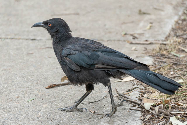
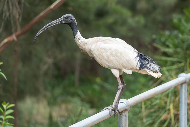
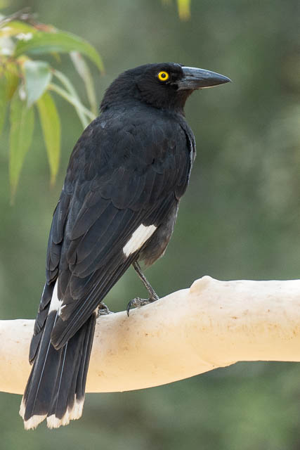
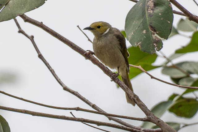
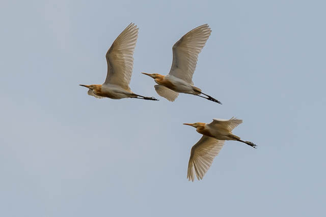
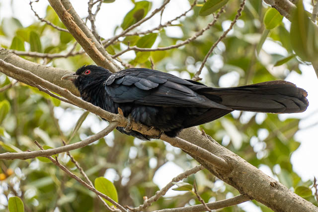
White-winged Chough
From the reserve, it was a short walk to Mt Druitt Station. I think we had walked around 23 km for this stage.