A relatively cool day was forecast, and I used it to complete the last stage for me of the Great West Walk. Last year I had walked from Parramatta to Toongabbie, and then later, with Bob, the stage from Toongabbie to Mt Druitt. So one bit remained – from Mt Druitt to Penrith.
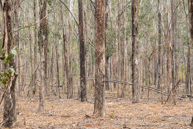
When I originally heard about the Great West Walk, the website recommended doing it over five days. I found the section to Toongabbie really only took half a day. From there to Mt Druitt took longer but was still a comfortable day’s walk. From Mt Druitt to Penrith looked a little longer, but it features no big climbs like the ascent of Rooty Hill. Another motivation for doing this part was that it included the newly opened Wianamatta Regional Park.
So I caught a train to Mt Druitt and set out from the station around 8:30 am. It was a Sunday – but no one was around. It was very quiet walking along streets to Whalan Reserve. I can remember walking towards Toongabbie and noticing all the astrologer’s shops and massage parlours as one approached the station. Here, the district was dominated by retail and repair outlets for the automotive industry.
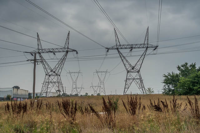
Whalan Reserve is a long linear park that lies under some high voltage transmission lines. It also follows Ropes Creek, the major stream in this area. Nearby sporting fields were deserted, and no one even seemed to be walking their dog.
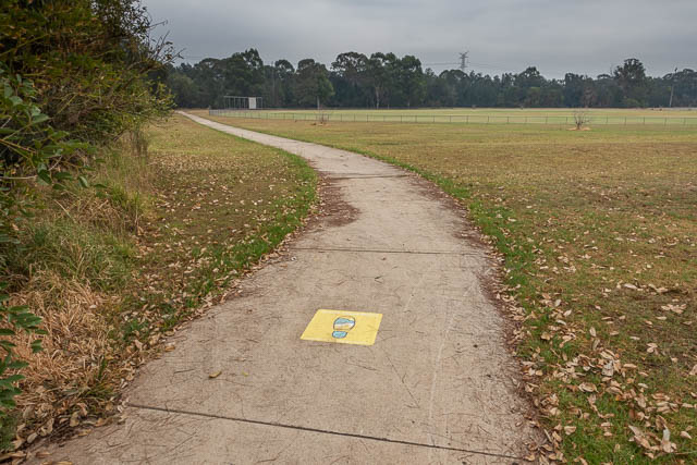
All the way along this section to Penrith, there were very few waymarks. I had printed off a series of maps that were really helpful.
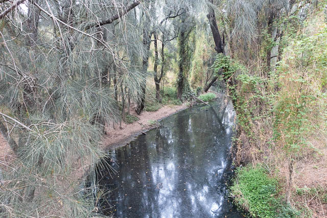
At one point, I branched off the path I was following and walked out onto a bridge that crossed Ropes Creek. The route does cross Rope Creek but a lot further to the north.
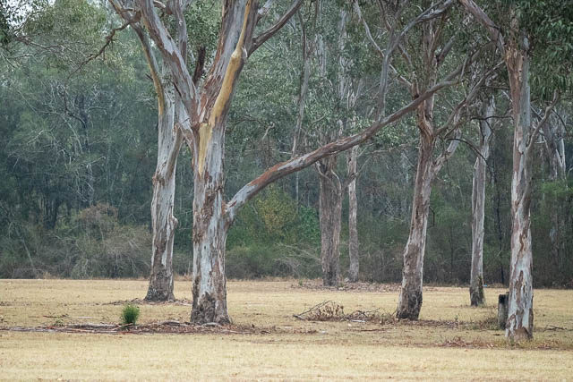
Along the creek are some pleasant bushland remnants. More open parts of the path have been lined with recently planted trees to provide shade. Unfortunately a lot of these trees are dying due to the drought.
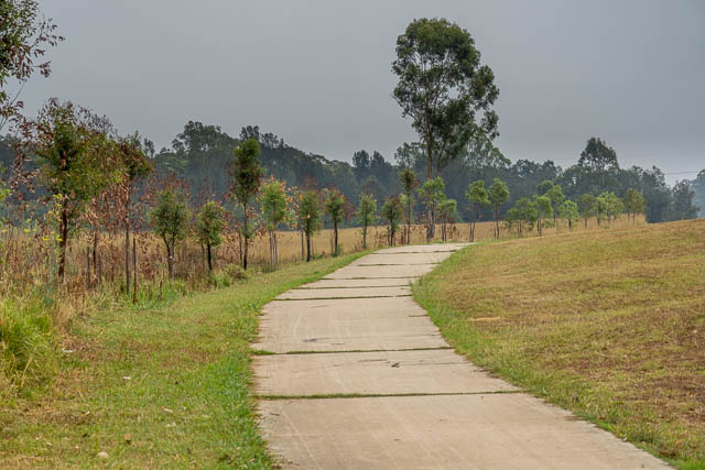
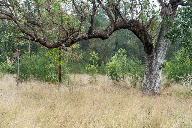
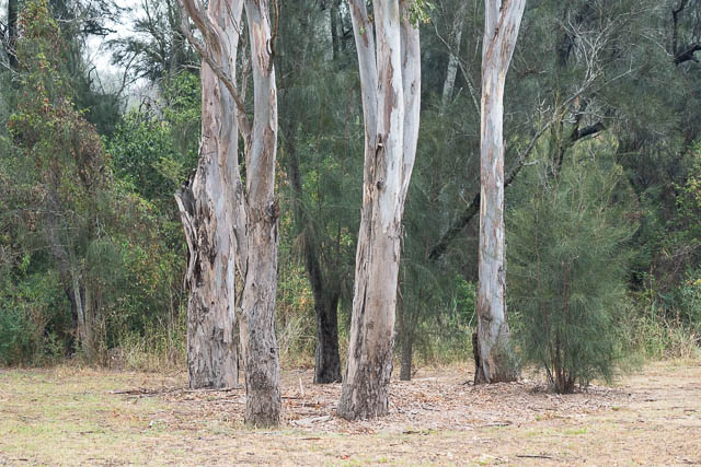
I continued on through Tregear and eventual arrived at the new suburb of Ropes Crossing.
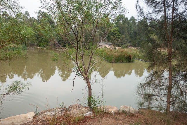
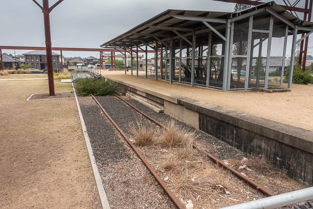
Here there was a nice wetland, and then the route followed the footpath near a shopping centre, and past Ropes Creek Station. A station! Well not really. It is a relic from the areas former use as a munitions depot. The industrial railway branch line has been dismantled and the station, in the middle of a small park has only a few metres of track.
A bit more road walking brought me to the new Wianamatta Regional Park. I had heard tales of Kangaroos, Wallabies and Emus, and the park is surrounded by a high animal proof fence and gates that are locked after hours (they open from 8am to 8pm).
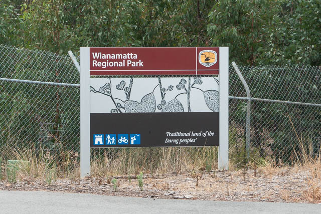
It was very quiet inside the new park. There are some old building that remain, and also a network of roads landed out in a grid. There are also new parking areas, picnic areas, toilet blocks and trails. Some of the roads are lined by long low hills. They look artificial – probably used to limit blasts, either deliberate or accidental, from explosives in its previous use.
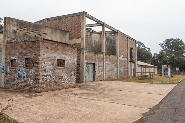
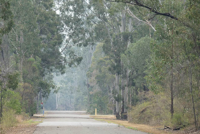
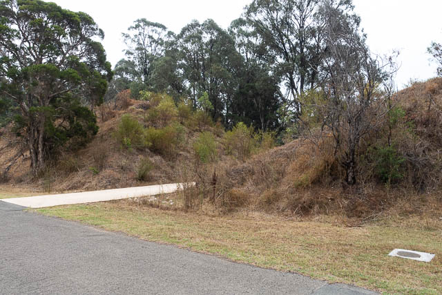
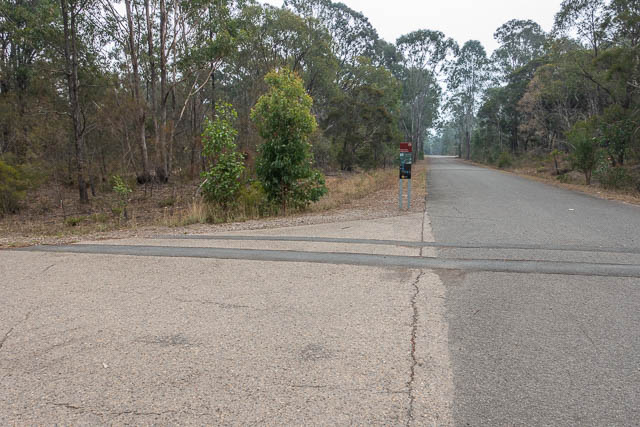
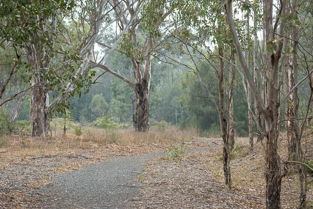
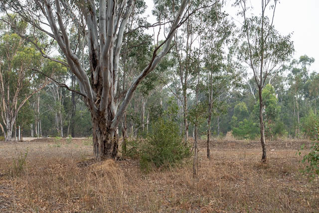
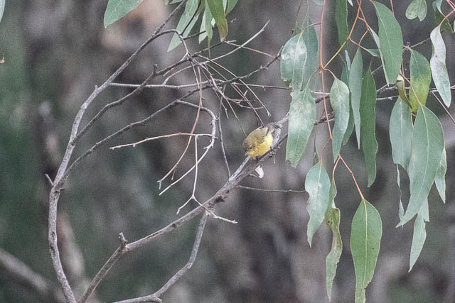
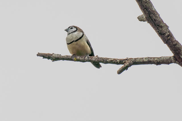
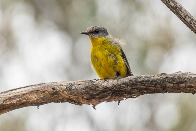
The route I had marked on my map for the Great North Walk was not marked or signposted in any way inside the park except at the start. So you really need a map here as the route wanders around a bit. Its pleasant country – nice woodland. I could hear quite a few birds but did not have enough time to spot many.
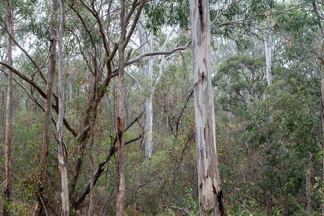
Further on, you reach a road, but that is separated by a high fence. The trail keeps going and then you need to pass through a double gate. Another wildlife zone.
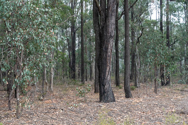
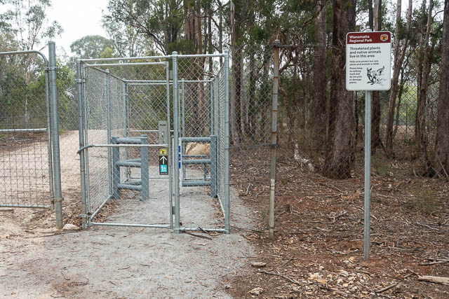
This next section followed a fire trail and crossed two creeks – Ropes Creek and then South Creek. There were a lot more birds near these creeks.
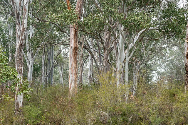
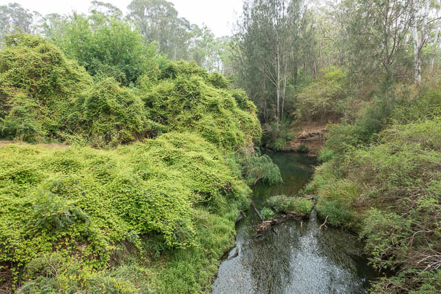
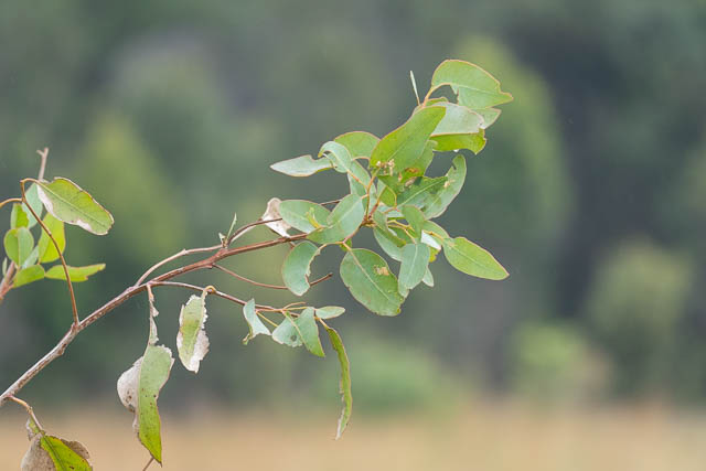
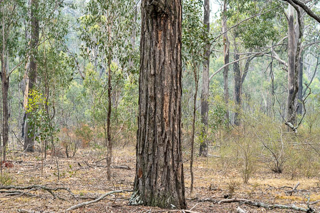
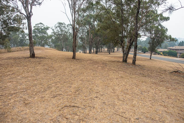
After that were some long straight sections. A little boring perhaps – but through some more nice forest. Everything was very dry however because of the drought. A lot of trees seemed to be dying. A lot of trees were dropping leaves.
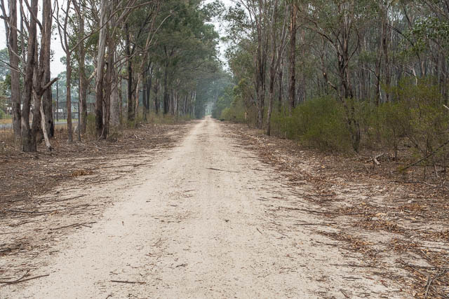
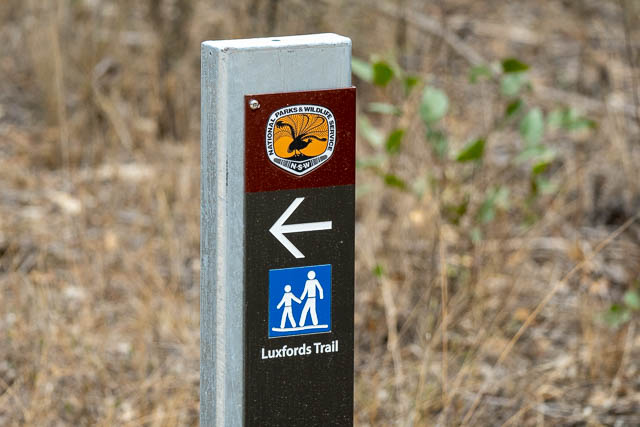
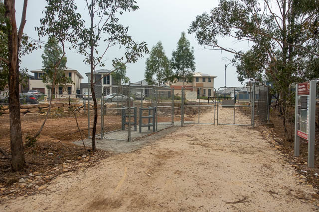
Then finally one last double gate and that brings you out at another new suburb – Jordan Springs.
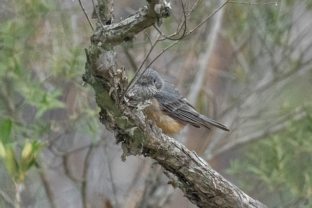
The next bit is walking along footpaths or cycleways. But as it turned out, there were a lot of birds at first – in the bush near the road.
Then I arrived at a large wetland. I stopped here at one of the picnic tables for lunch.
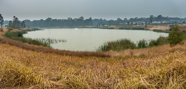
Jordan Springs seems to be a property developer paradise. I soon arrived at another large wetland.
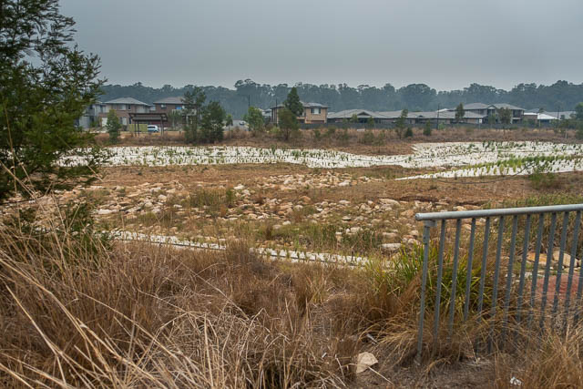
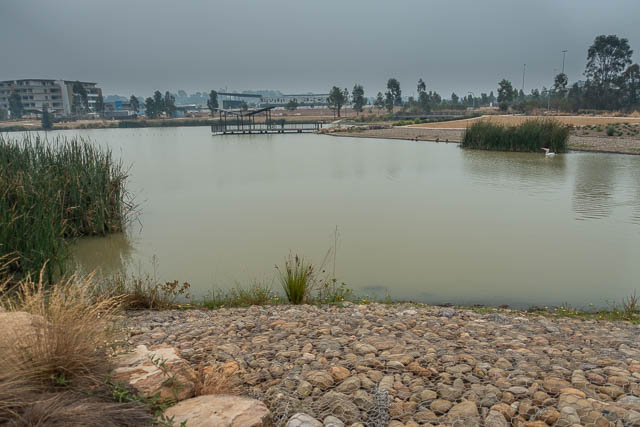

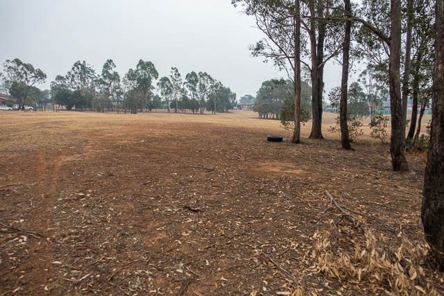
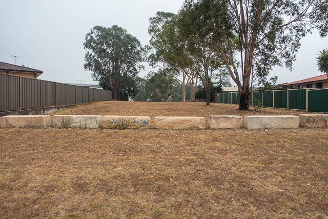
After leaving this new suburb, I then crossed the Northern Road and entered Cranebrook. Here the route is quite confusing. It follows a long linear park behind and between houses. Again an easement for transmission lines.
I was glad to leave this part and reach some more nice wetlands. There were a lot of houses nearby but the wetlands made the walking quite pleasant.
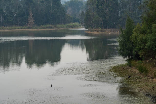
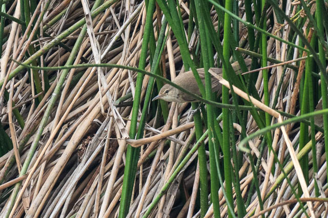
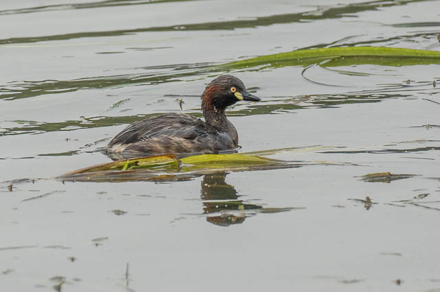
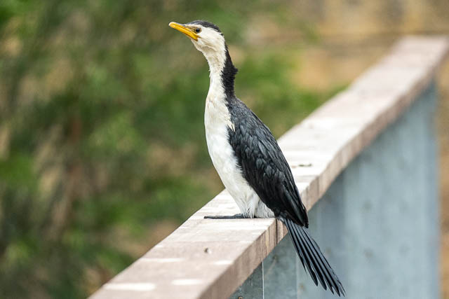
I stopped at one pond to watch a Darter wrestle with its catch.
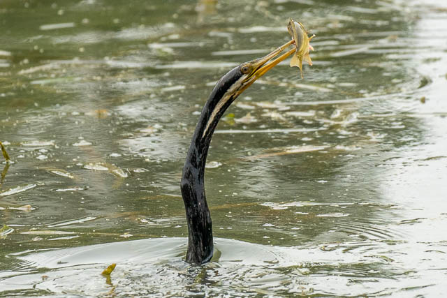
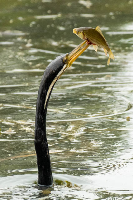
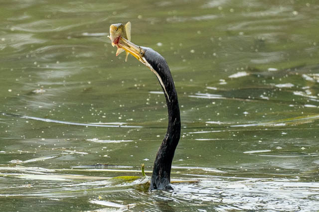
The route then follows along section of Castlereagh Road and then some back roads to reach the Nepean Weir Reserve. I know this park from my bird photography. It was only 2 pm, so I took some time off for some bird photography.
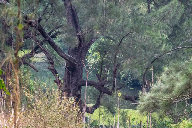
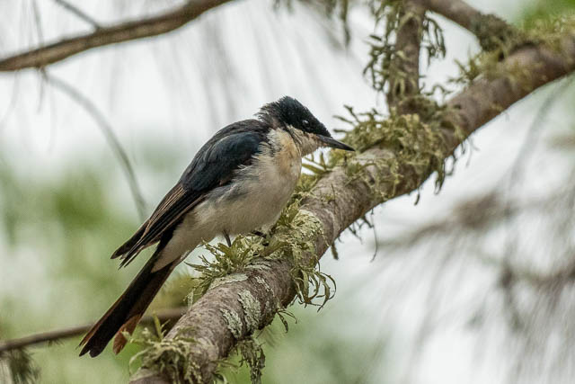
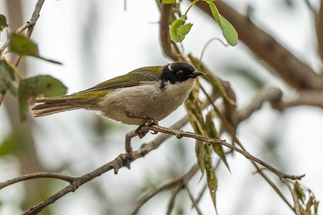
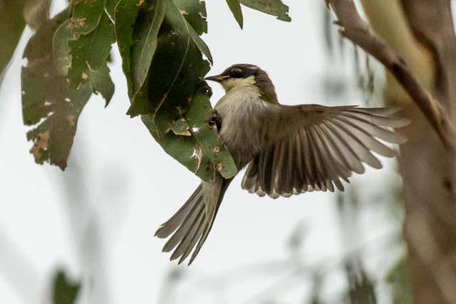
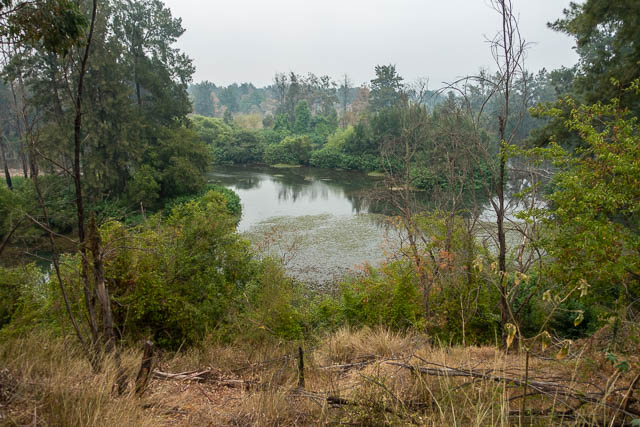
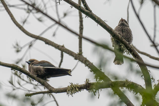
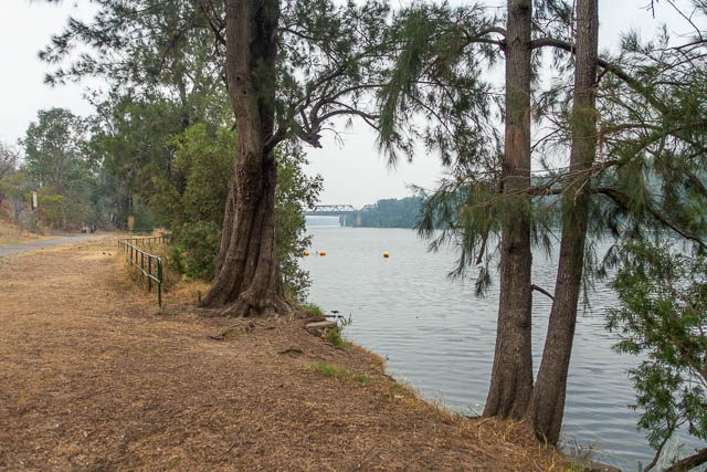
From there it was a 15 minute walk to Penrith Station. I think the total distance I had walked was around 27 kms. A nice day out.

Very interesting. Lots of walking!
Whalan Reserve use to be where the Mt Druitt Aerodrome was and later WW2 airstrip and later it was a racing track .
https://en.wikipedia.org/wiki/Mount_Druitt_Aerodrome