I was fortunate to be able to join friends for three days of bushwalking in the Gardens of Stone. We walked on the Wolgan – Capertee Divide. Part of the walk is within the Gardens of Stone National Park and the rest of it is in the proposed extensions to the park. This is an amazing area to walk in – whether to do a long distance walk or a shorter walk.
The party was John and Chuin Nee and their two young sons Jasper and Sebastian, Keith and myself. We had fine weather on the walk, but the first two days were quite cold and windy.
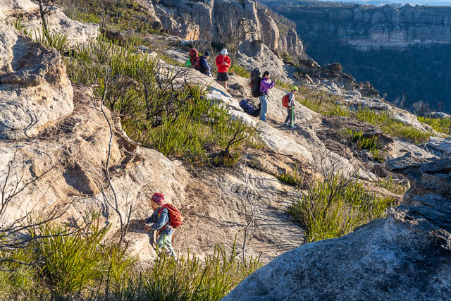
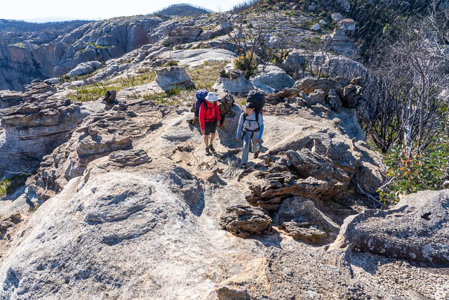
We had travelled from Lithgow to Lidsdale, then a short way along the road to the Wolgan Valley before turning off and following a forestry road onto the escarpment. We parked part way along the road to Cape Horn. Since the bushfires, the track out to McLeans Gap is overgrown and quite vague. Nevertheless, it is relatively easy walking along the ridge. There was still some snow lying on the ground in shady places.
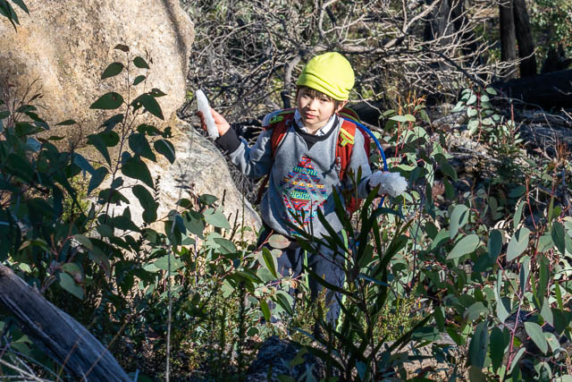
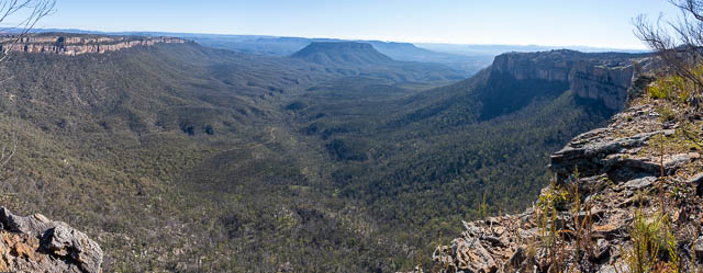
We crossed the Gap, and then found ourselves on the Wolgan – Capertee Divide. As we walked, the left hand side of the ridge (northern side) is in the National Park. The equally spectacular right hand side is not.
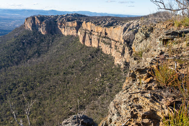
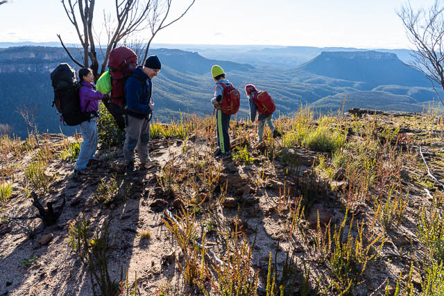
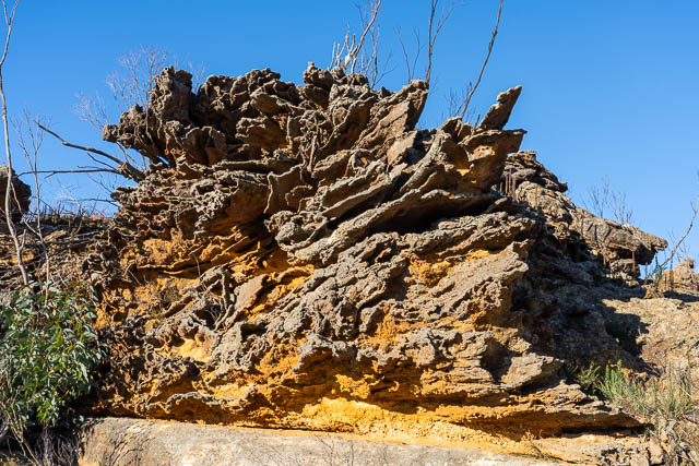
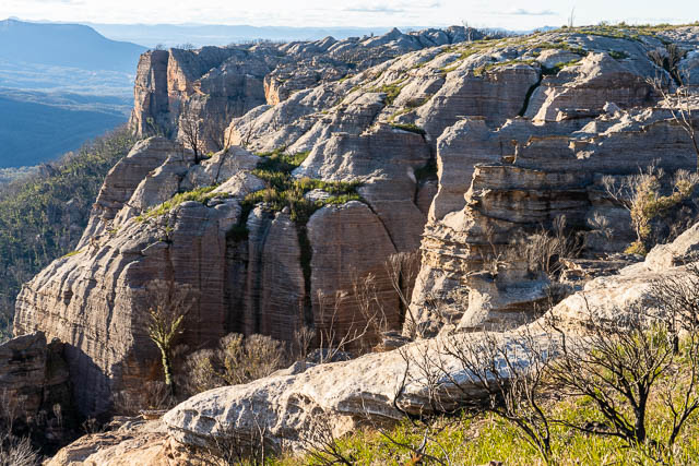
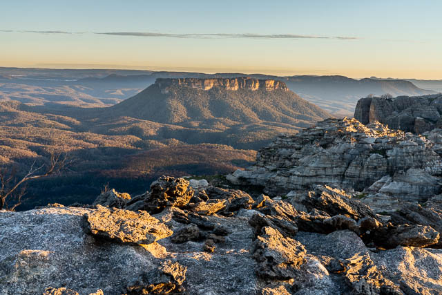
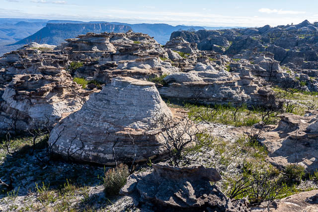
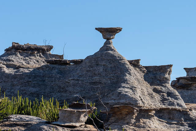
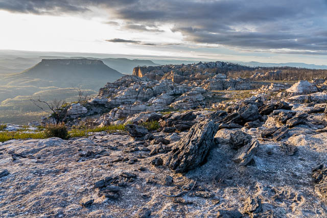
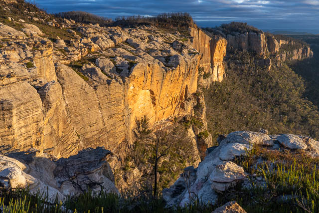
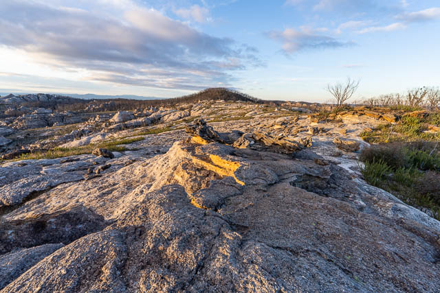
We crossed one more gap, and then climbed up to a place we call the “Exploded Pagoda”. It is an extraordinary place – where an open rock outcrop is scattered with what looks like the remains of a pagoda rock formation. It is difficult to explain how the bits and pieces of rock came to be arranged like this. These bits and pieces of rock form the foreground to an incredible panorama. To the north west you can see the cliffs leading from Baal Bone Gap to Baal Bone Point, to the north east you can see a maze of pagodas and then a set of high domes near Point Cameron. In the middle is the mesa of Pantoneys Crown.
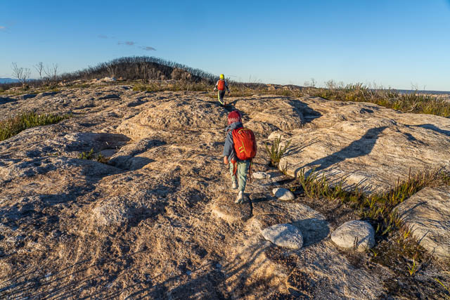
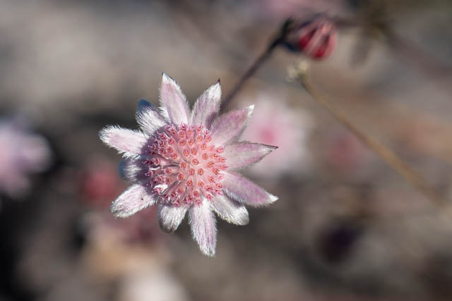
I had walked through this area at Easter, and can remember walking through a field of Pink Flannel Flowers. Back then, most of the flowers were well past their prime. We were surprised to say the least to see a few fresh looking flowers. Perhaps a second flowering?
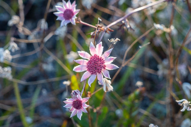
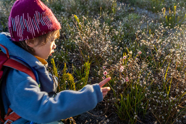
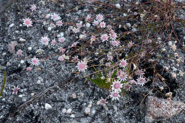
We had had a late start, and reached the campsite near Mt Davidson a little before it got dark. After setting up my tent, I walked back along the ridge – across the open rocky tops to the Exploded Pagoda and took a few photos.
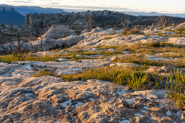
I was just in time to be rewarded with some beautiful light.
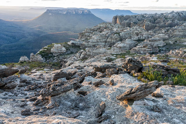
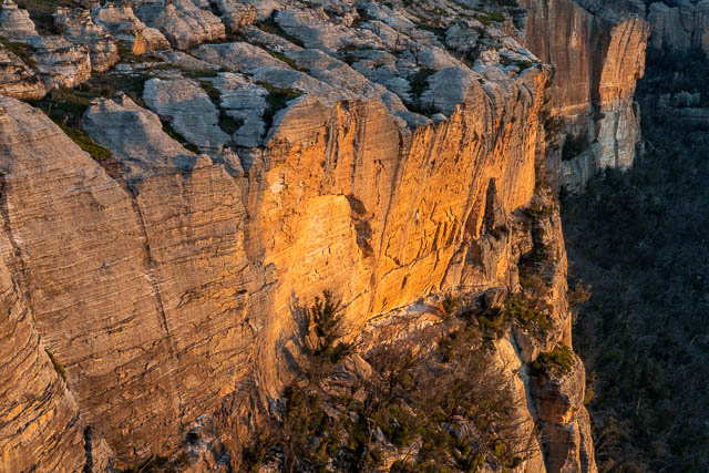
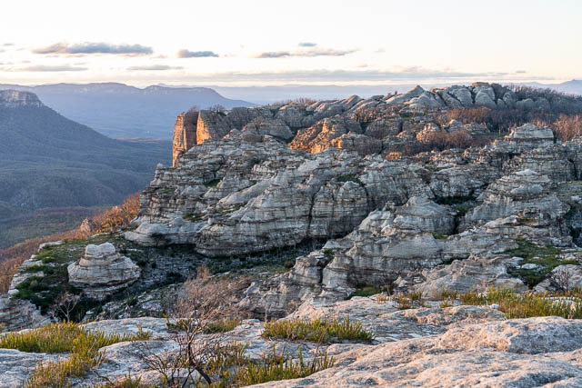
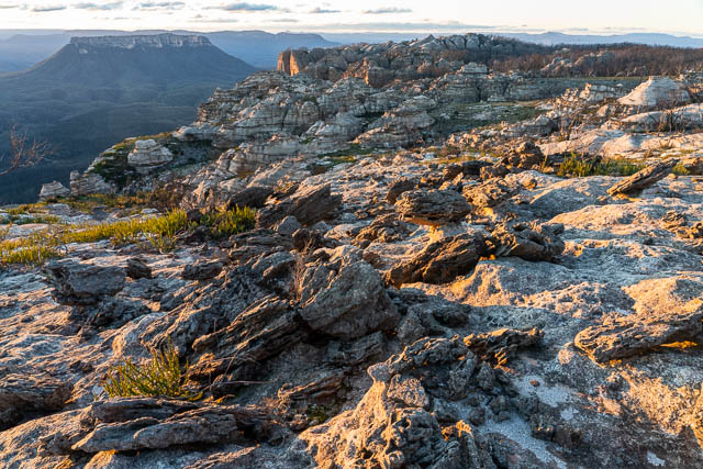
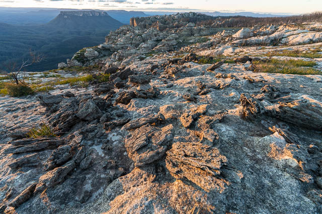
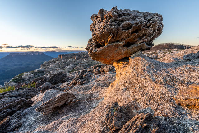
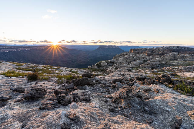
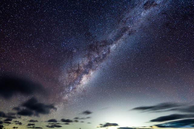
it was very cold in the wind, and I returned to the campsite to sit next to a warm fire. After dinner, I walked back to the open area and set up my camera and tripod to get some Milky Way photos. It was a nice dark clear night.
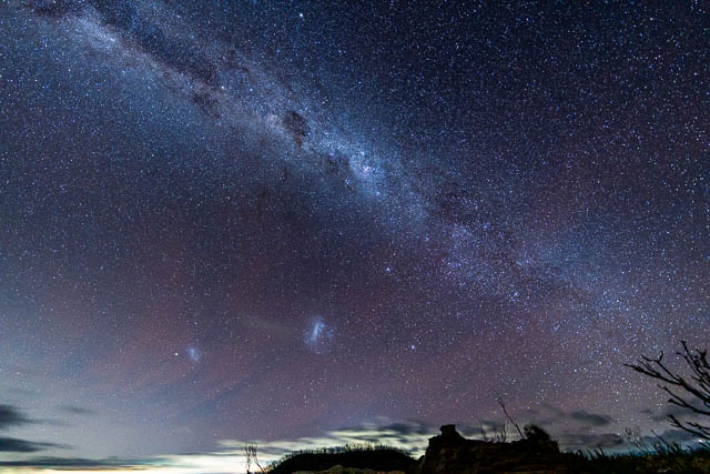
We awoke to a cold morning. The wind had eased a bit but was still quite strong. Time for some dawn photography.
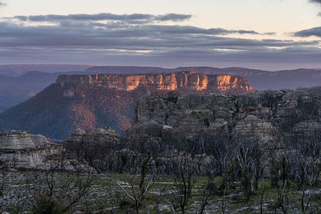
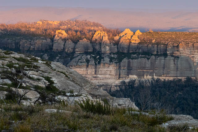
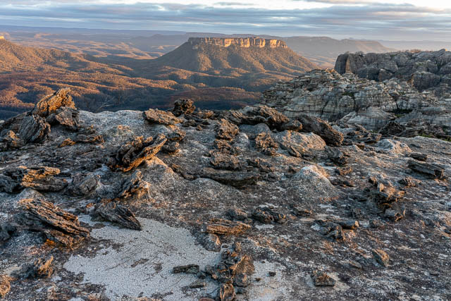
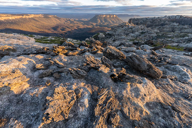
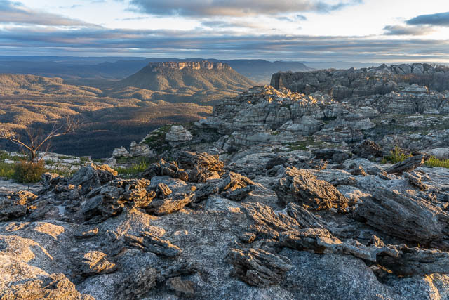
All the above photos are shot to the north. This one is of Donkey Mountain in the Wolgan Valley to the south.
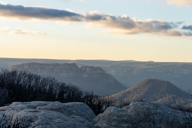
And now looking along the cliffs to Baal Bone Point –
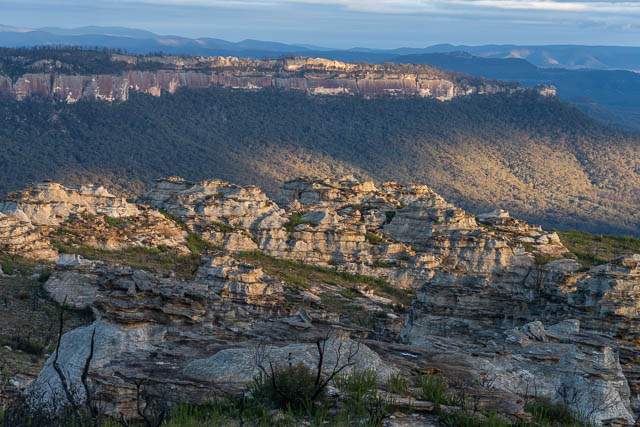
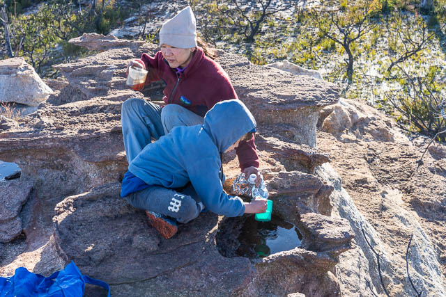
The rock pools on the tops provided a good source of water.
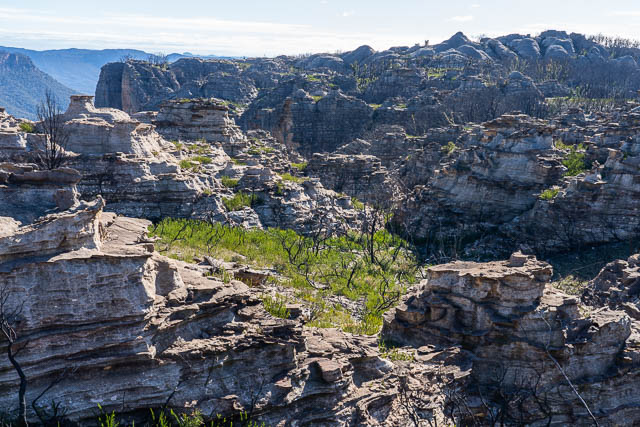
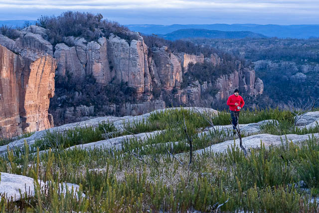
After breakfast, we set off walking and scrambling through some of the rock pagodas to the north. Before the bushfire, this country was quite thick with heath type scrub between the pagodas. Now it is open.
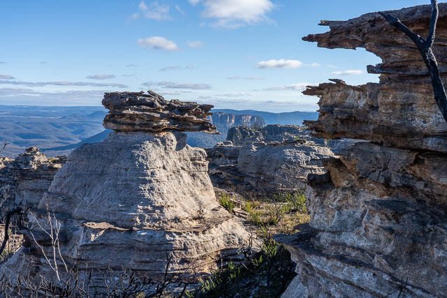
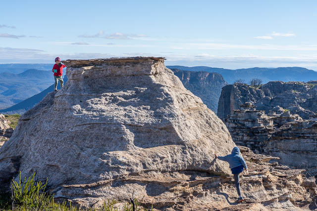
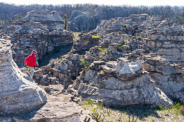
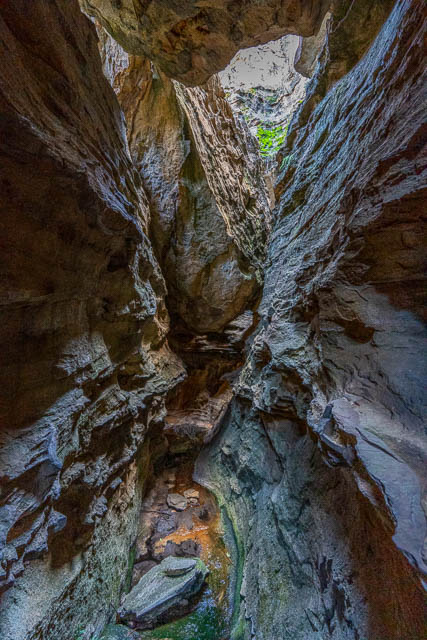
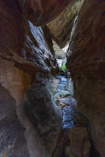
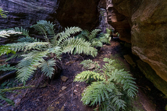
As you walk towards Point Cameron there is a miniature canyon.
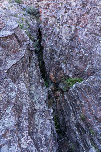
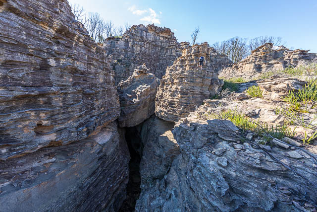
We walked upstream and then climbed down into the canyon. It provides a reliable source of water.
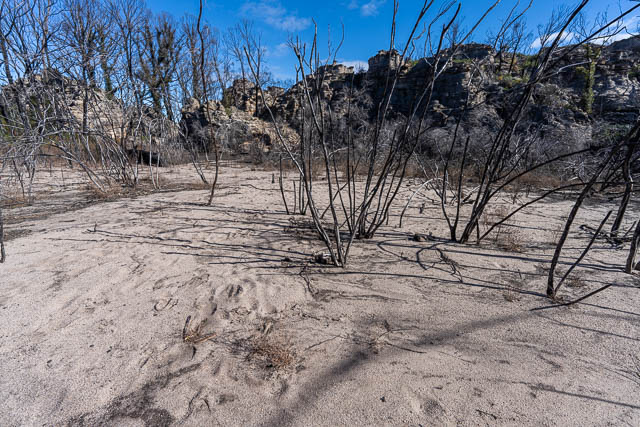
Upstream of the canyon is a strange open area. After the fires, it is now quite sandy. It is in the catchment of the canyon, but has been damed up by a low ridge – perhaps caused by a landslide.
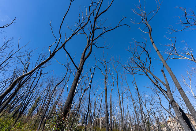
All the ridges nearby have been badly burnt and it is apparent that a lot of the trees are dead. Eventually these will fall down creating an obstacle course for bushwalkers trying to get through.
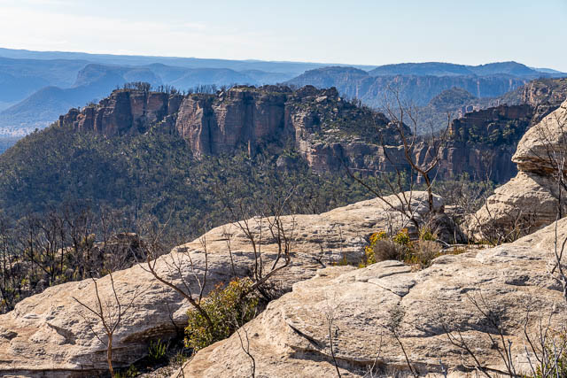
We climbed up onto the impressive dome to the north of the canyon. Here is the view looking at Mt Stewart.
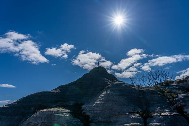
After lunch, Keith and myself explored some pagodas south of Mt Davidson.
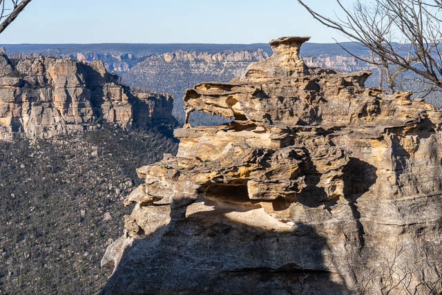
In the late afternoon, it clouded over and I was not sure if there would be a golden hour for photography. I headed over to the Exploded Pagoda with my camera and waited to see what the light would do. There were a few small gaps in the clouds to the west.
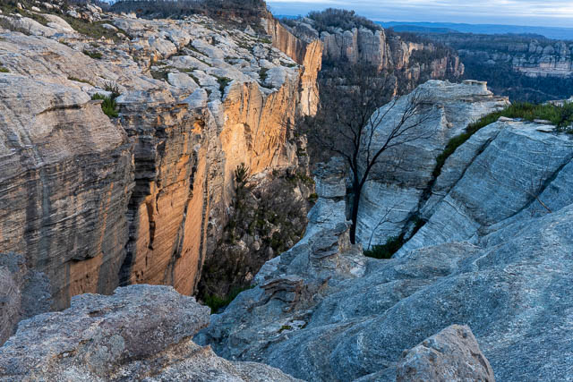
There was a brief burst of sunlight.
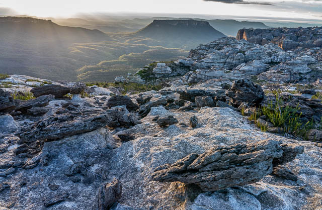
And later, some more astrophotography.
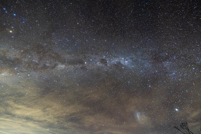
Our last morning was cold and frosty. I had been hoping for some valley mist. There was a tiny amount in the Wolgan Valley but none we could see in the Capertee Valley. My morning photographs were similar to the morning before.
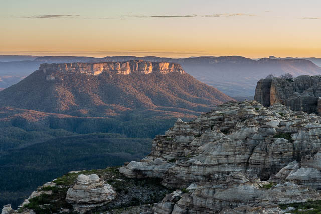
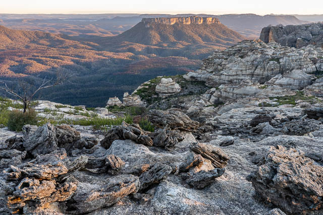
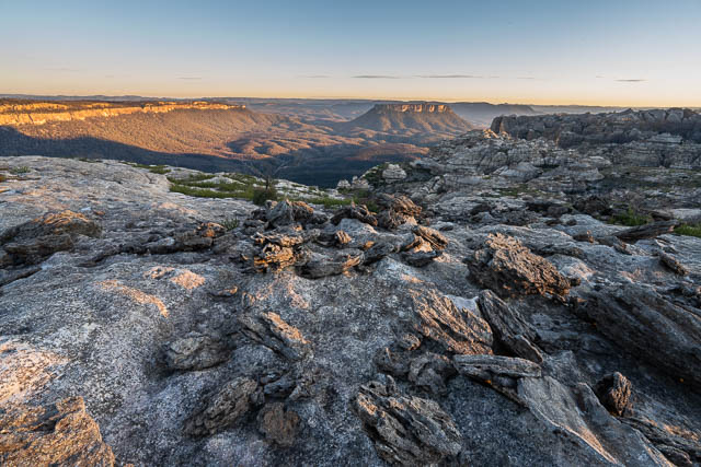
Back to camp to eat breakfast, we talked about some visitors. Some mice had gnawed holes through tents and into bags of food. Some were around the campsite.
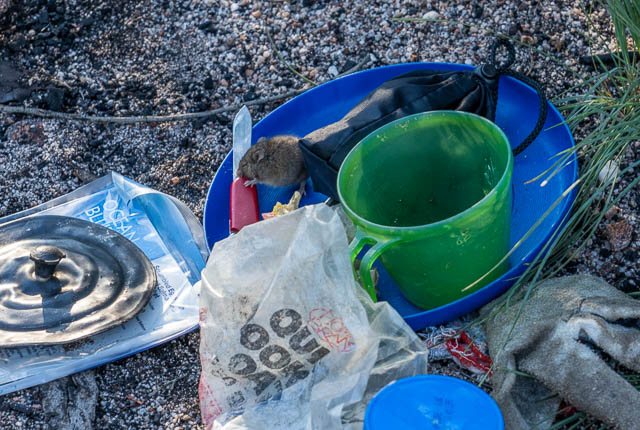
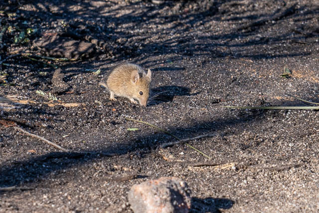
It seems the mouse plague had reached us!
As we set off for the cars, we spotted another party on top of the dome near Point Cameron.
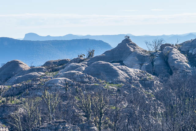
This day was sunny and cool but not windy. It was very pleasant siting in the sun, and we didn’t have too far to go to get back to the start. We followed the same route back as we had taken on the first day.
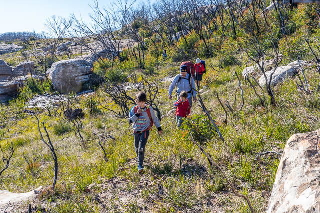
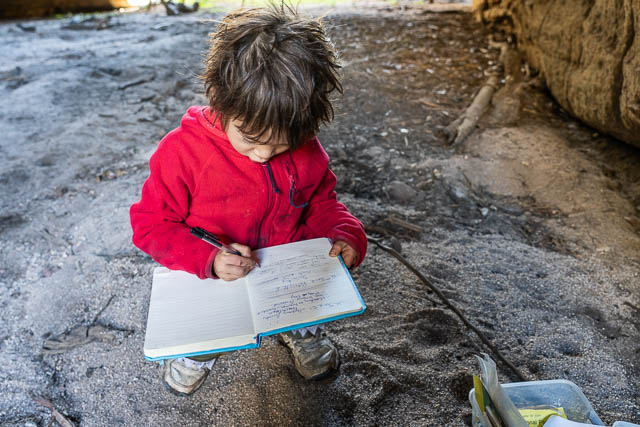
Back at McLeans Gap, we walked down into the defile and signed the logbook.
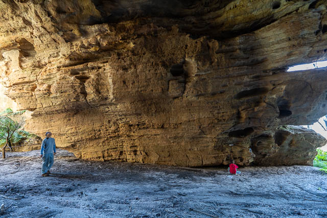
And we stopped for lunch at a nice lookout looking at the domes of Mt McLean.
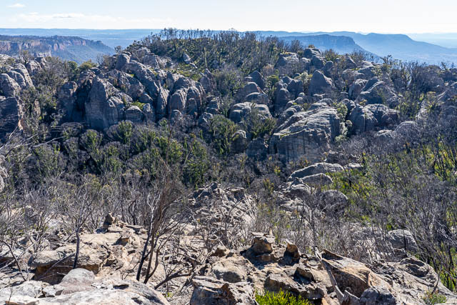
The National Park boundary goes along the top of the ridge, and all these stunning domes are not in the park.
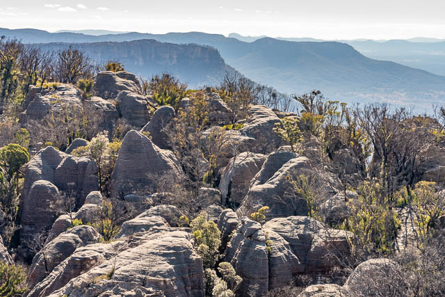
From there it was a short walk back to the cars.
This was a relatively easy walk, but it was in a very special place. It was great to spend the time enjoying and exploring such incredible natural scenery.

Dear David,
I am an amateur landscape/wild life photographer. Yesterday I came across your blogs while searching for places to visit to photographs birds (particularly raptors). Your blogs are fantastic – giving great information. I am hooked on reading your blogs. Thank you for taking time to write !!!
Amazing share David, thanks!
ripper night shots! ah, Baal Bone, site of longwall record in the early 1990s – and that X over ridge marks an indigenous trading route between valleys for other stone, erm, tools, I understand….