
Bob suggested this walk at Blackheath linking Brownes Path, an easy pass into the Grose Valley, that we had both used before a couple of times (see here and here), and then traversing around to Hat Hill Creek and ascending Lews Pass and then climbing out of Hat Hill Canyon via one of the usual passes.
I think Bob was inspired by one of Keith Jebb’s blog posts about a trip linking some of these seldom visited Grose Valley passes. That party had first visited Brownes Path but not followed it down very far, then traversed a little further along the tops and descended down the un-named gully pass that Bob and myself had climbed (see the earlier blog post of mine, linked above). They had then traversed just under the cliffs of Bald Hill and dropped down into Hat Hill Creek near Hat Hill Falls. We knew that the un-named gully was steep and quite unstable – not a nice place to be in, so perhaps it would be better to descend further?
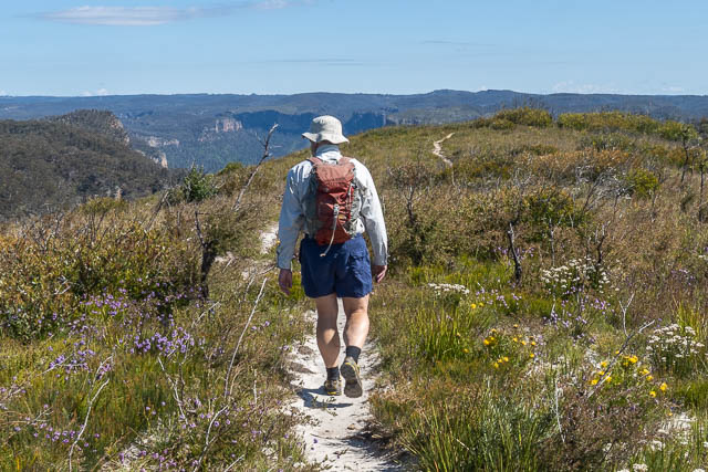
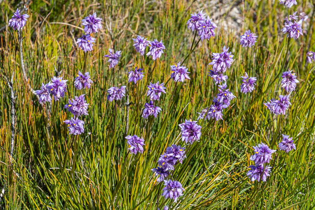
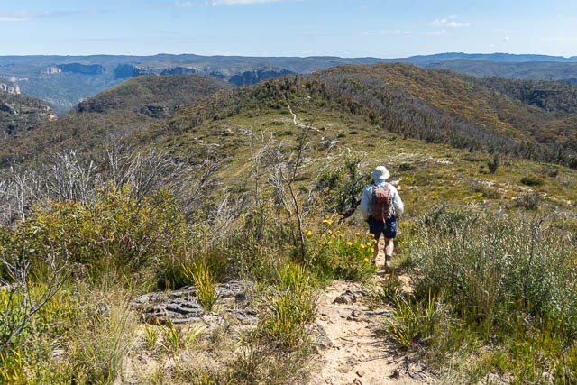
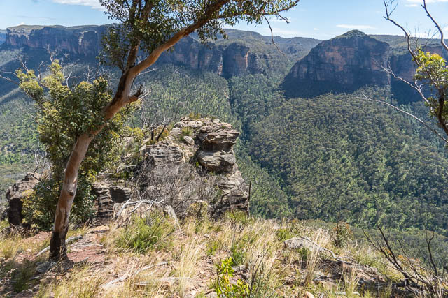
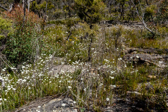
Anyway, we set off from Hat Hill Road, from the lower carpark, and climbed onto the ridge and were soon walking out to Bennett Lookout. The going was easy and pleasant through a meadow of wild flowers.
Early on were some nice carnivorous plants –
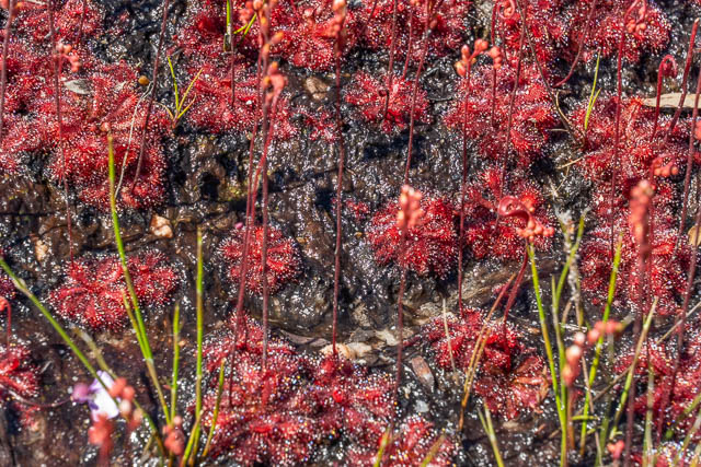
Drosera sp.
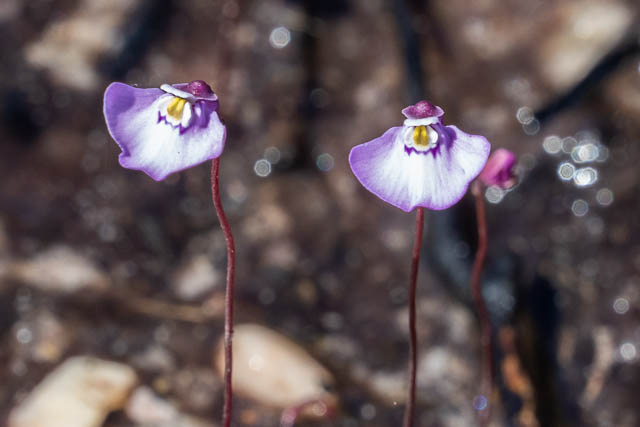
Ultricularia sp. Perhaps Ultricularia uniflora
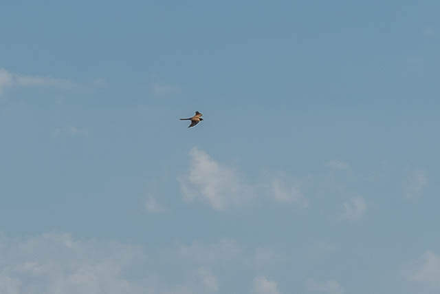
And we spotted a Nankeen Kestrel –
We continued along the ridge.
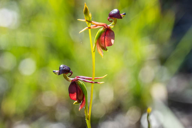
Near Bennett Lookout we saw some nice Flying Duck Orchids (Caleana major) –
We left the track and dropped down short way to Bennett Lookout.
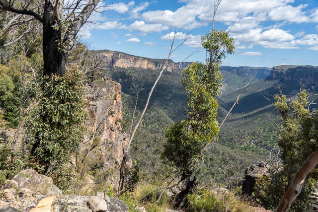
Brownes Path lies just below the lookout, and is an easy traverse to reach the talus slope.
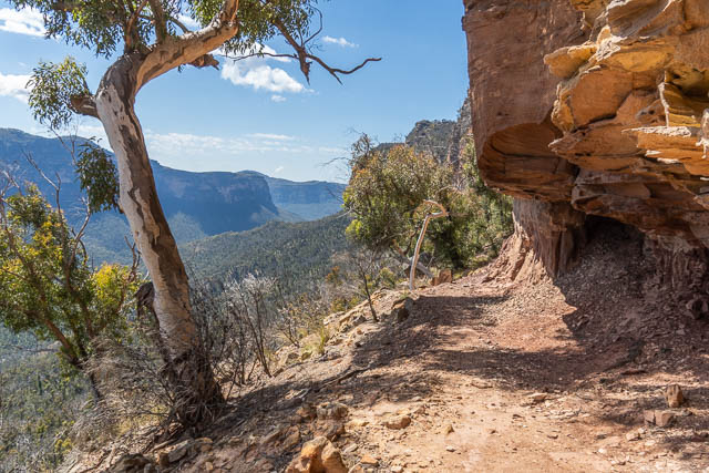
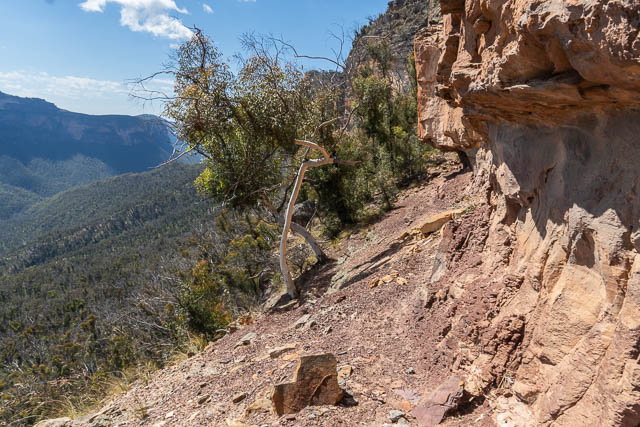
So far the walk had been easy and straightforward. But now conditions changed. We descended towards the un-named gully. To avoid horrendously steep and unstable slopes we had to back track a bit, zig zagging down. Then we crossed the gully and traversed onto a large flat area around the 600 m contour. The going was no faster – it was quite scrubby with a lot of post bushfire regrowth, fallen dead trees and hidden boulders to clamber over, and nasty Lawyer Vine ready to leave its mark. We had to stop along the way for a few rest breaks. We eventually reached the end of the flat area, and found ourselves on top of another very steep slope looking down into Hat Hill Creek. We descended slowly and carefully.
When we reached the creek – it did not look easy going heading upstream. There were lots of large boulders chocking the stream bed. We could avoid them by trying the sides – but that took us into scrub and vines again. Our eventual route was a mixture of the two – scrambling up the boulders where we could and wading across pools and taking to the side where we had to. It was tiring walking and we both suffered from the heat.
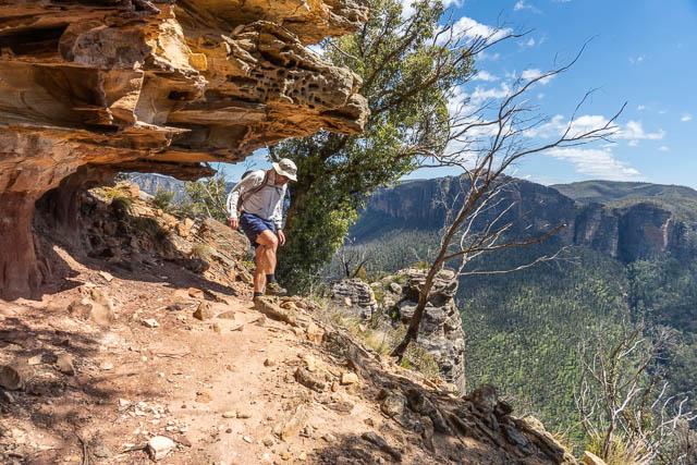
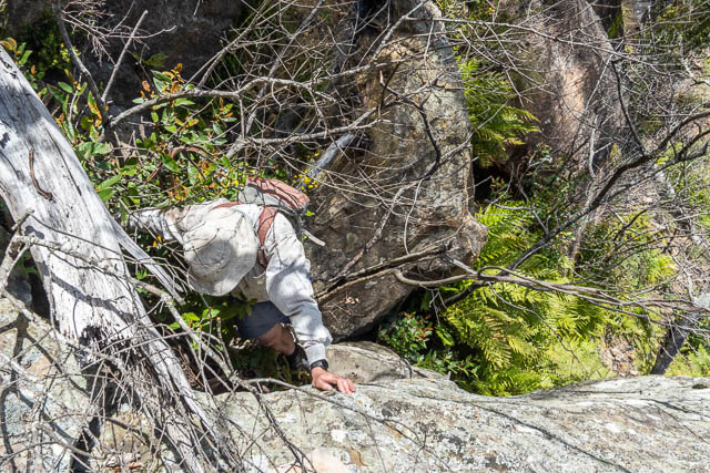
Eventually, we reached the slope at the base of the waterfall. Here we climbed up the slope to the west of the waterfall. The waterfall had a good flow and looked perhaps 30 m high. No climb was possible close to it. But the pass was easy to locate. There was only one possible route. We climbed onto a ledge about 50 m from the falls and at higher level than the base, then traversed this ledge towards the falls. Then there was the key – up a corner using tree roots and small trees as holds. It was easy going except for a few logs we had to climb over on the way up.
Once up this, we knew the rest of the route pretty well from previous trips. But we first found a shady place to stop for lunch. Our exertions had resulted in us both feeling somewhat fatigued and we were grateful to rest. I think we were both a bit dehydrated and we had to be careful of cramps.
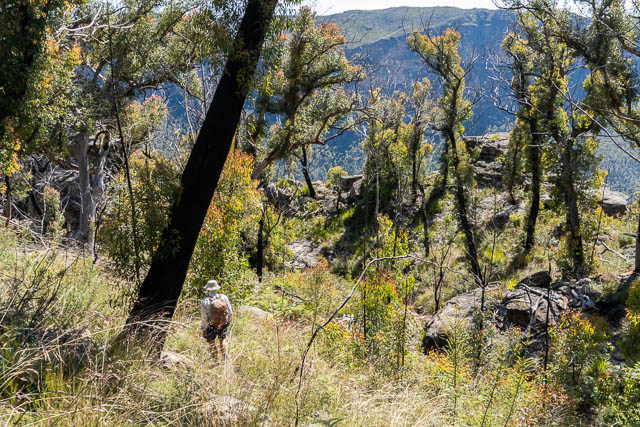
After our break we continued up the creek to the first side gully on the tree right. WE climbed up to a waterfall with some natural arches, the scrambled up nearby. This climbing, although steep, was so much easier than what we had done earlier. Once on the ridge, we could even enjoy the wild flowers again.
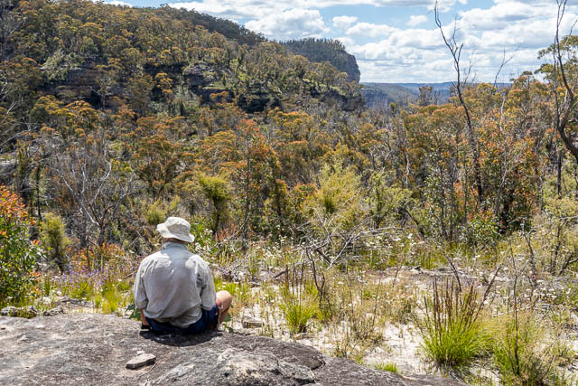
From there it was easy going along the ridge back to Bob’s car.
We had found this walk unexpectedly hard (for us), even though we finished pretty early. It had been hot and tiring. But it had been very rewarding – visiting some interesting country.
Lews Pass at the end of Hat Hill Canyon was found by Blackheath local, Lew Hodgkinson around 1946. On that trip, he had descended the pass, without use of rope, and then later climbed up the un-named gully pass on the far side of Bald Head (which he called Mount Haystack). Andy Macqueen has recorded a very interesting oral history with Lew Hogkinson and a transcription can be found here.