
Wendy had organised a camping weekend on Kings Tableland. A lot of the Blue Mountains – council reserves and the National Park were party closed due to geological instabilities after the very wet period (and a double fatality following a cliff collapse at Wentworth Falls). One area that had just been re-opened was Kings Tableland. On the trip were Wendy, Rui and myself, and we were later joined by Steph.
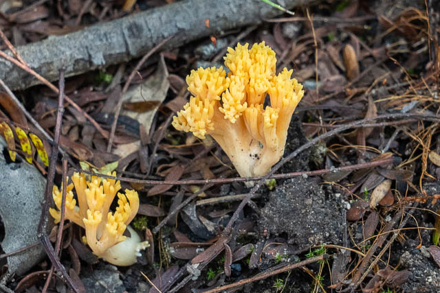
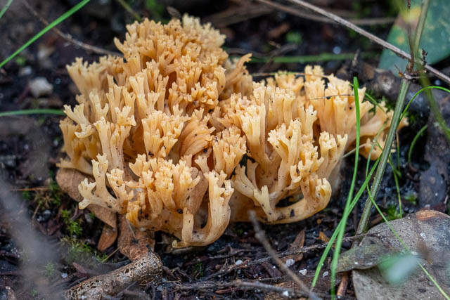
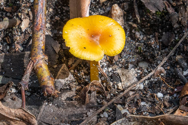
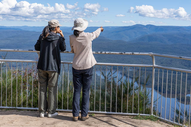
We first visited McMahons Lookout. On the track from the carpark to the lookout, we spotted some nice fungi out –
Ramaria sp.
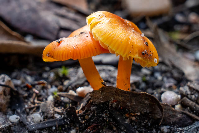
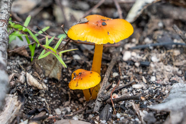
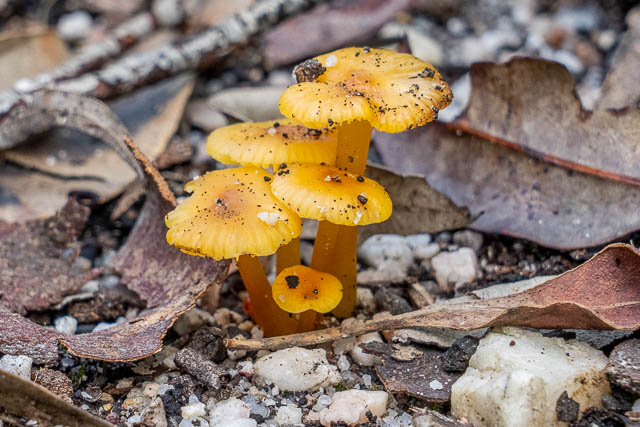
Hygrocybe sp.
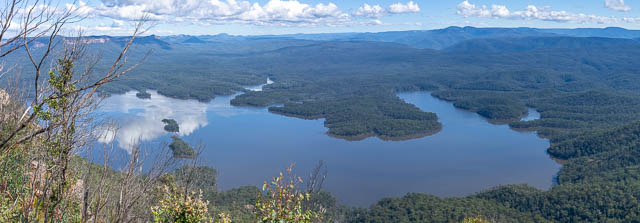
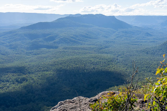
And then the great views from the lookout. Here is the Coxs River arm of Lake Burragorang.
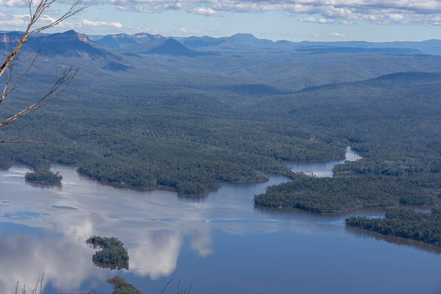
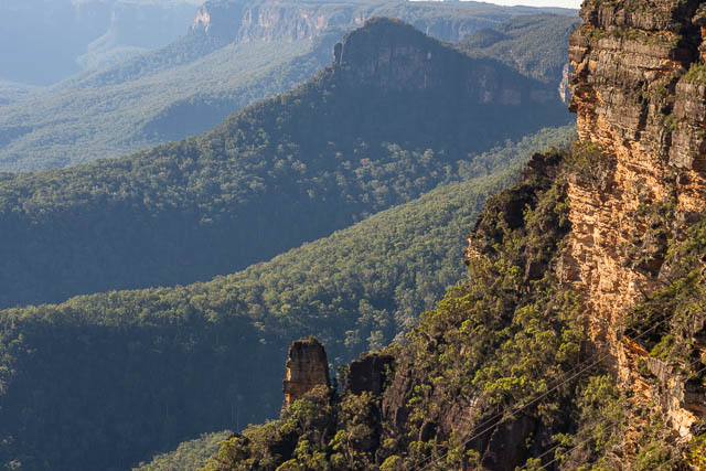
And looking into the Blue Breaks –
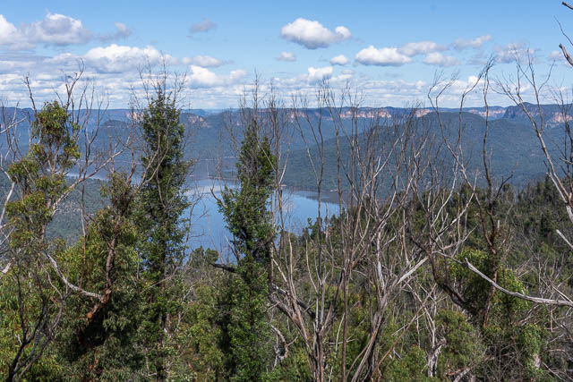
And filtered views looking towards Billow Tablelands.
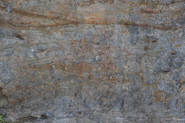
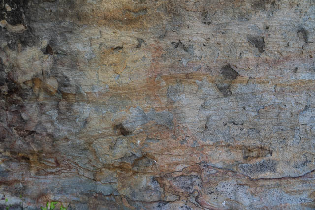
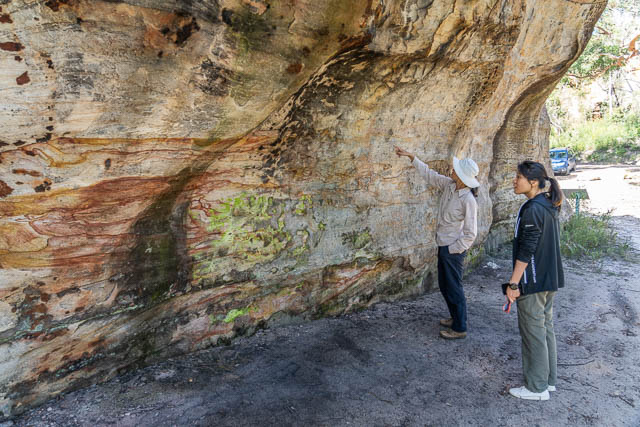
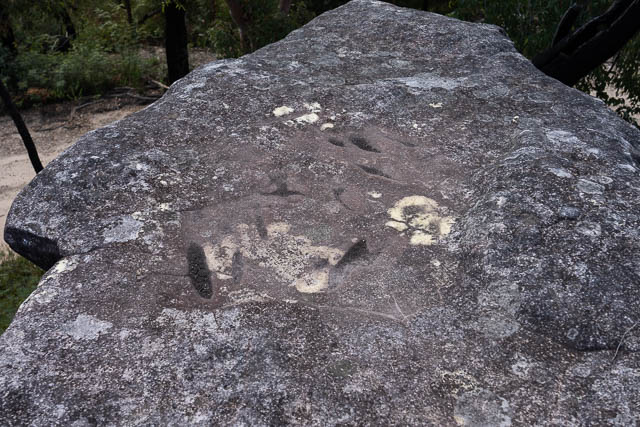
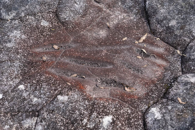
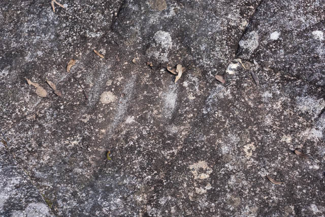
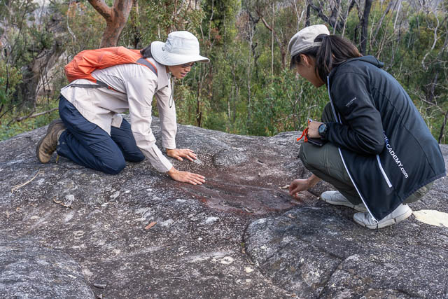
Back on the road, we stopped of at the Aboriginal site near Battleship Tops. There is a cave here that has some faint ochre art.
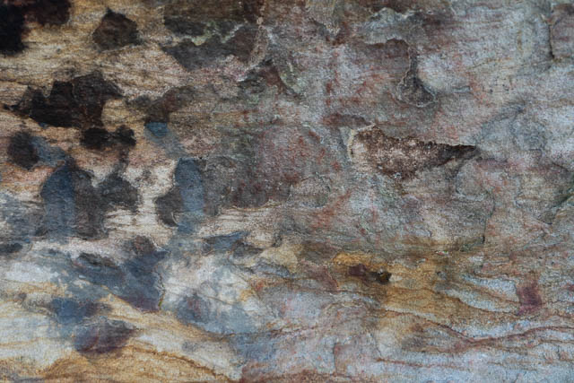
And we checked out a nearby rock platform and found several sets of sharpening grooves.
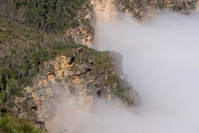
Next, we left the road and walked out along a fire road near the power lines that took us to the cliffs above Kedumba Valley.
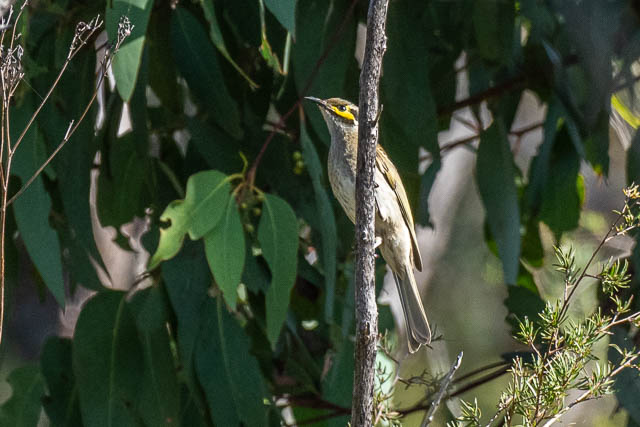
Here is a Yellow-faced Honeyeater –
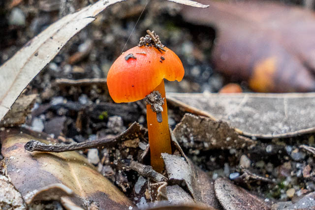
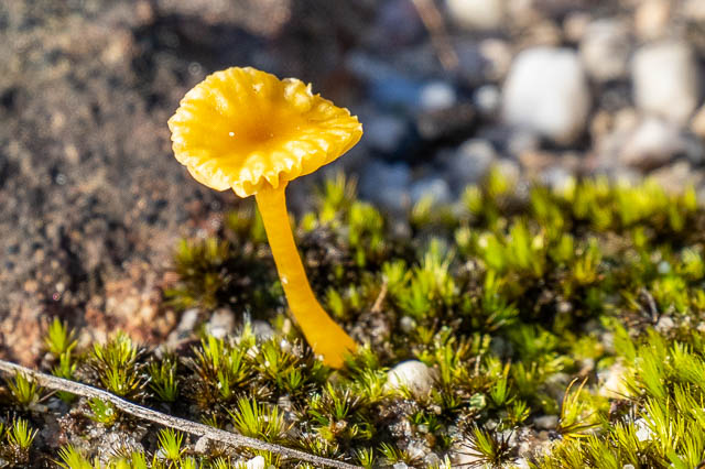
And another small fungus – Lichenomphalia chromacea –
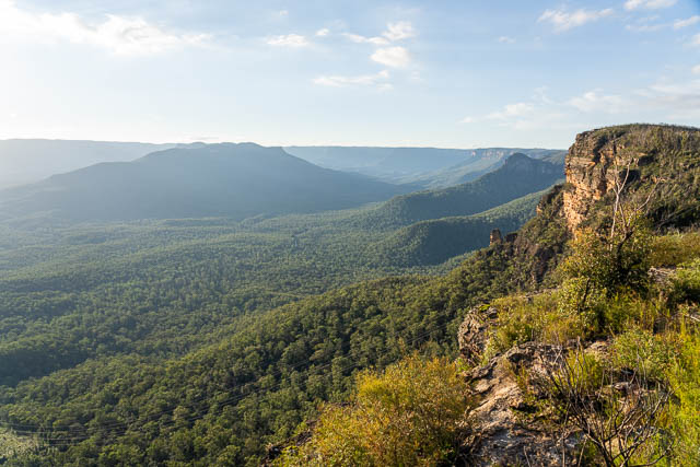
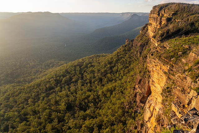
We found a great place to camp. Nearby was an amazing lookout. Here is the view of Mt Solitary.
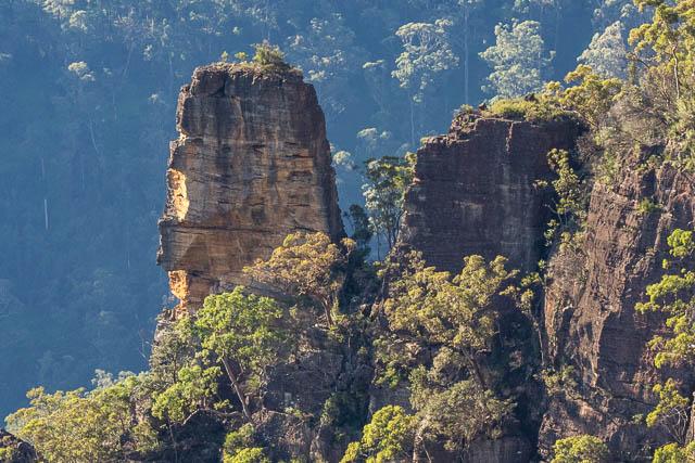
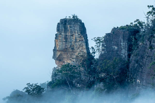
And here we are looking along past a pinnacle to Lion Head.
The view is marred somewhat by the high voltage transmission line.
Here is a telephoto view of the pinnacle. It looks tricky to climb.
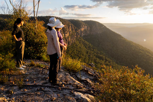
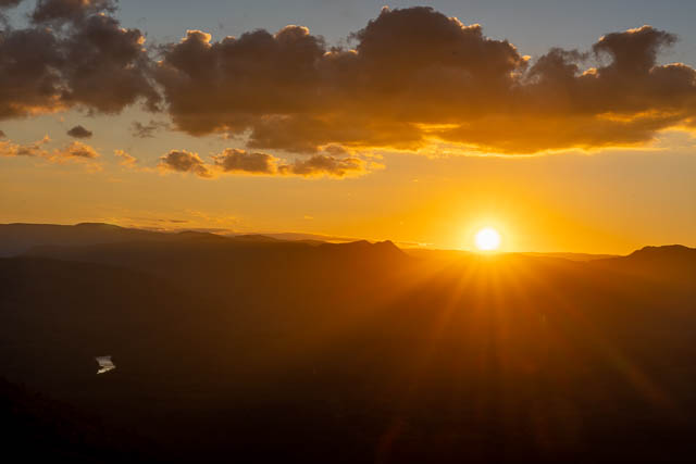
It was a beautiful spot to spend a few hours waiting for the Sun to set.
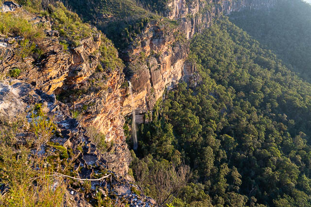
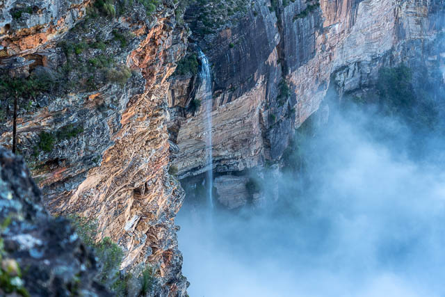
A lower ledge revealed an amazing waterfall.
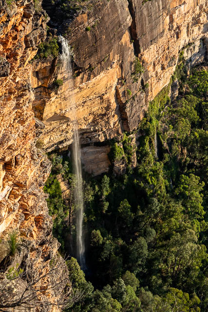
This waterfall was very impressive.
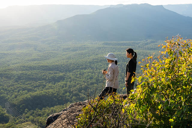
Steph arrived and enjoyed the views.
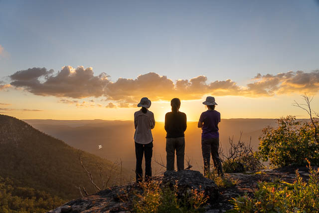
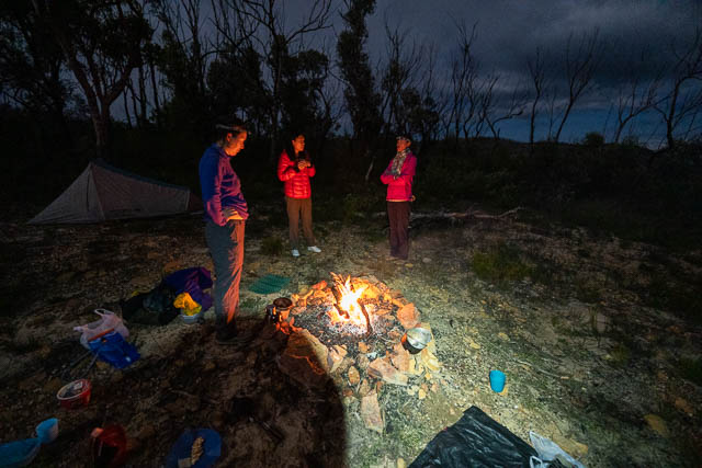
After the sun set, we had dinner at the camp fire.
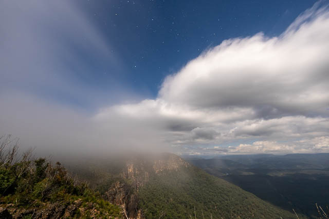
I took a few photos using the moonlight. Here is one –
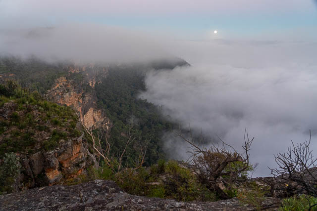
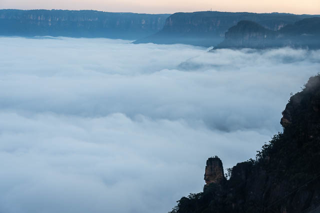
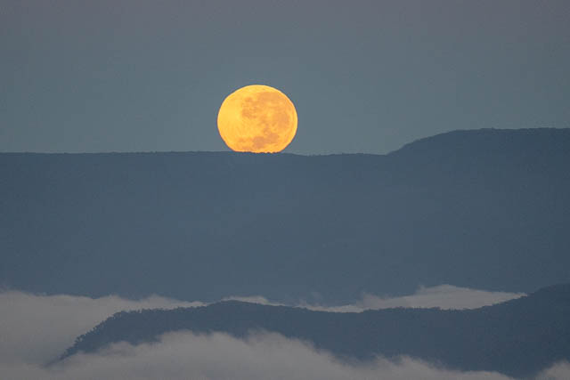
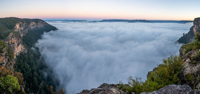
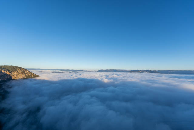
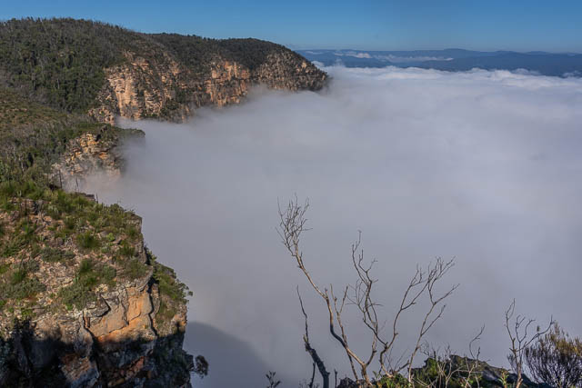
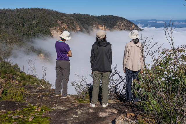
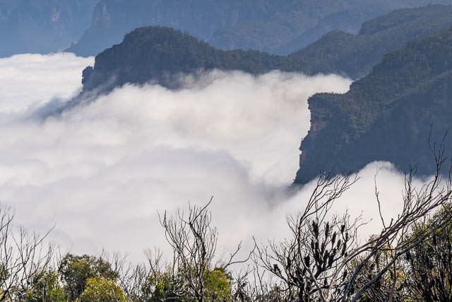
And we were up early for dawn. The valley was full of mist and the Moon was about to set.
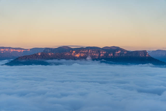
First light on Mt Solitary –
Lion Head –
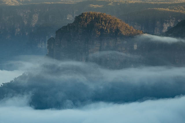
The Pinnacle –
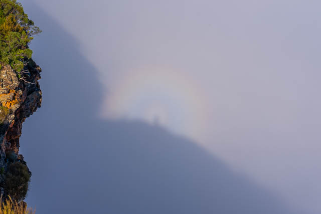
And we saw a faint glory and Brocken Spectre –
While we were at the cliffs, we heard two things. One was the howls of a pack of dingoes below the cliffs, and the other was the very loud noise made by a landslide somewhere lower down. Yes – the ground is very unstable at present.
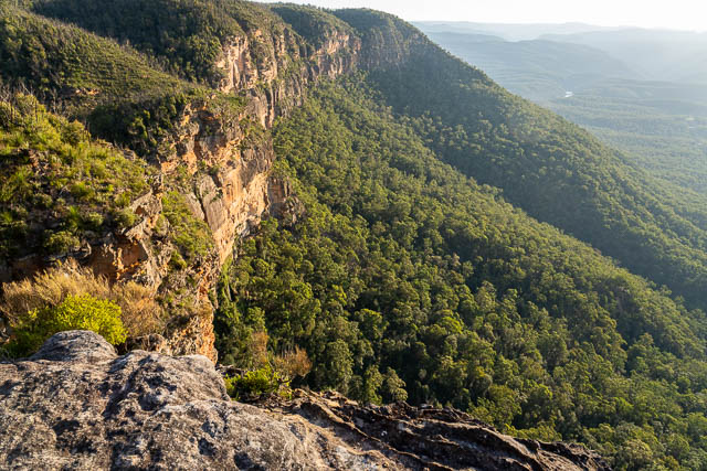
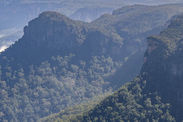
After breakfast, we packed up and visited nearby headland. Views were good, but no better than our campsite area. Here is Lion Head and the headland that Spring Creek Ridge Pass goes up (on the right) –
As the mist cleared, you can see Holbeach’s Descent – the pass near the end of Lion Head – it is the steep gully just left of the middle of the photo. The Spring Creek Ridge Pass goes up the steep cliff on the right. See this post for a trip report visiting these two passes.
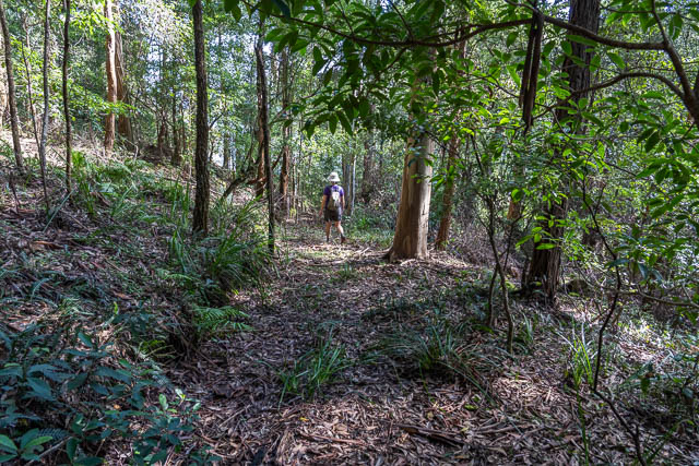
We then walked back to the McMahons Lookout Road and the cars. At the carpark, we ran into Phil, a botanist out on some surveys. He told us the day before he had visited nearby Waterfall Creek via an old logging road. This sounded interesting, so we got the details and set off from near Camp Cave Hill along the old logging road.
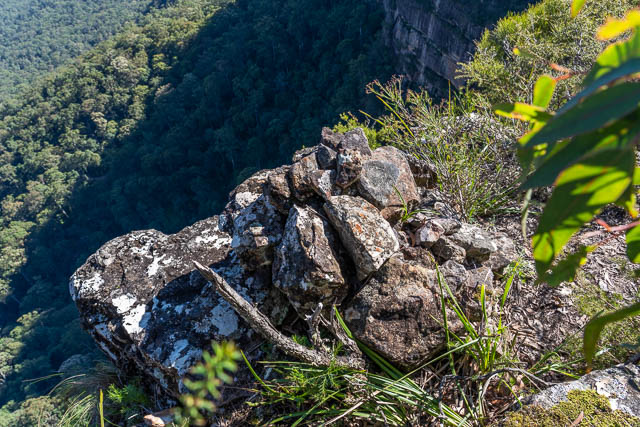
We reached a saddle, and left the road for a side trip out to a lookout. Here there was an old cairn.
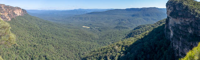
And great views of Kedumba –
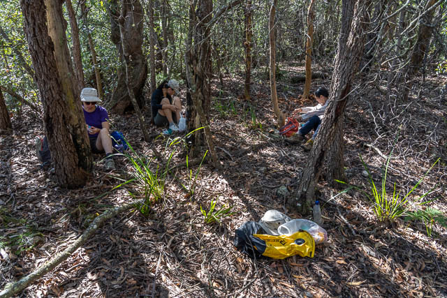
We found a shady spot to have lunch.
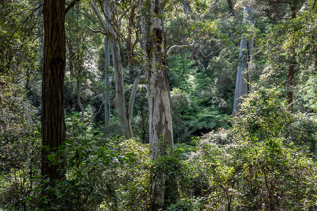
Then back to the old logging road. We followed it down to a diatreme new the waterfall in Waterfall Creek.
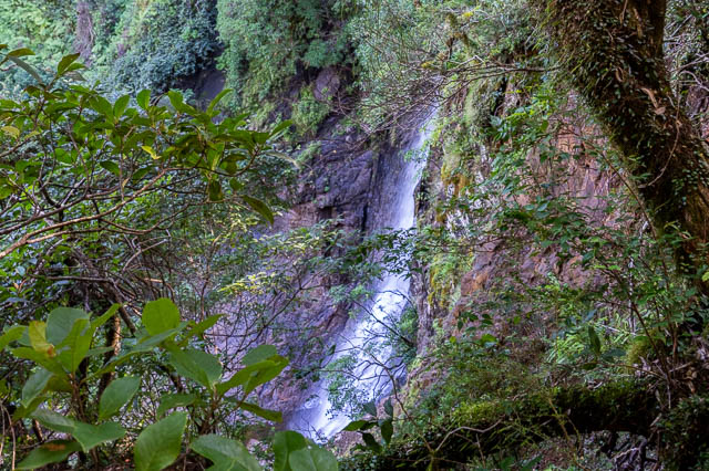
We could see and hear the waterfall, but only get filtered views.
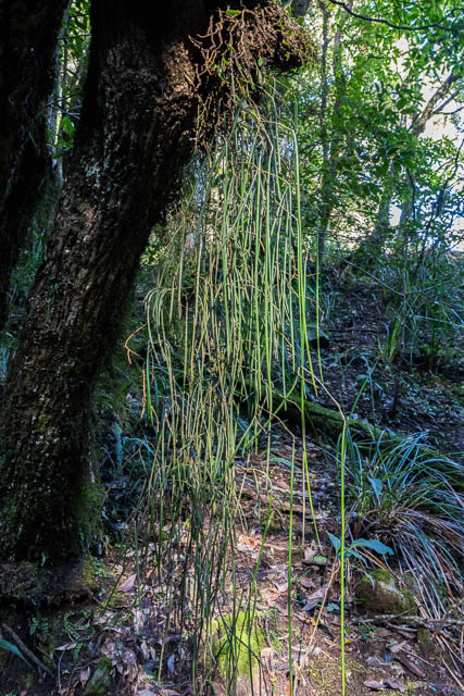
Nearby was an amazing tree orchid with very long leaves.
Thanks to Wendy for organising the camping trip and walk. Beautiful weather, incredible views and great company.