This was a very enjoyable walk with Bob in the upper Blue Mountains. We had, on an earlier walk, tried to visit Rienits Coal Mine in Victoria Creek – and although we must have been very close to it, we had not searched it due to high water flow. Bob suggested a round trip, visiting the interesting “S bend” section of Victoria Brook, then continuing to the junction of Victoria Creek and then walking upstream to the mine, then exiting onto the ridge nearby.
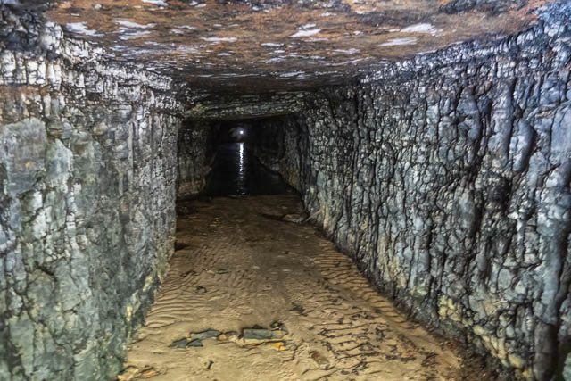
During the walk we saw a very fine display of wild flowers including many species of orchids, a very nice action of creek (almost canyon), some waterfalls and historic graffiti, and then a historic old coal mine.
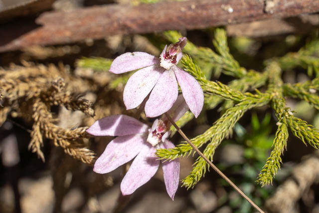
Bob parked at the barrier on Ridgewell Road at Blackheath, and then we first walked back to the highway. On the way I spotted some Caladenia sp. orchids –
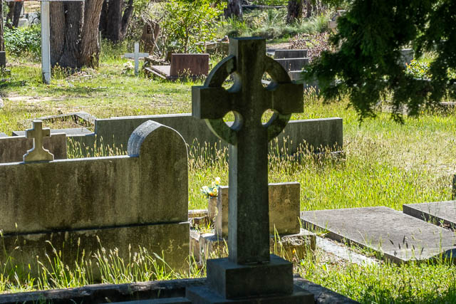
We then walked along the highway towards Mt Victoria. We passed the old cemetery, and Bob pointed out a Celtic cross.
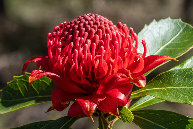
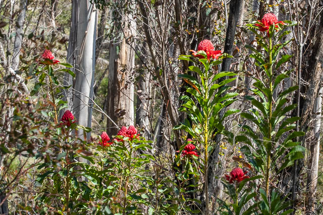
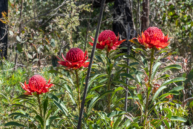
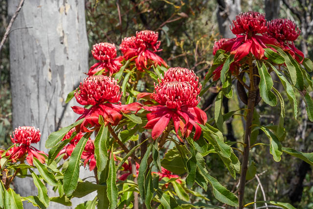
Not far past the truck weigh-bridge, we left the Highway, and walked out along the Carawatha Fire Trail, and then along a faint pad for a while and continued along an open ridge. All along the way, we encountered a great display of wild flowers. Here are some Waratahs (Telopea speciosissima) –
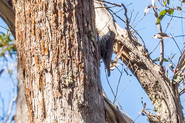
And here is a White-throated Tree Creeper –
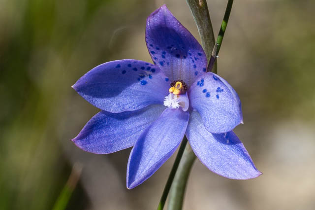
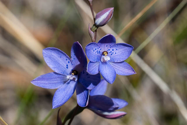
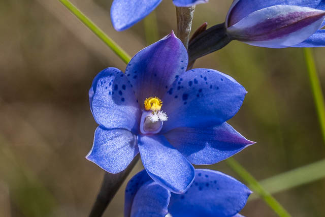
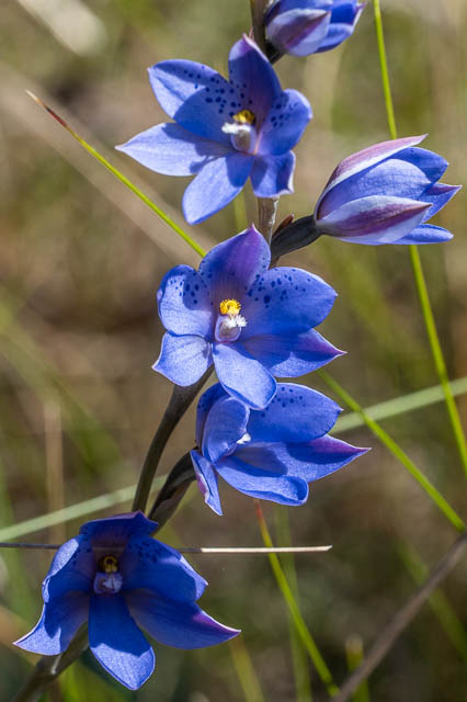
And we saw lots of Dotted Sun Orchids (Thelymitra ixioides) –
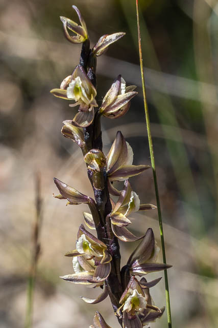
We also saw a few Leek Orchids (Prasophyllum sp.)
And the Dotted Sun Orchids were in profusion.
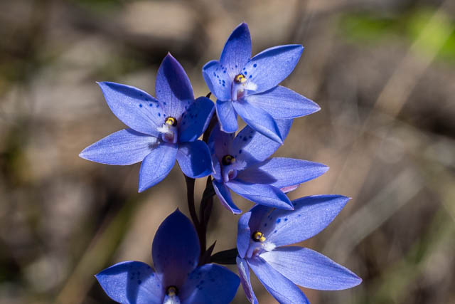
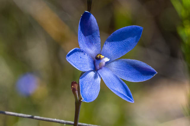
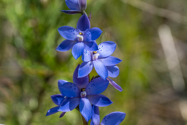
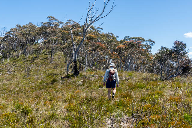
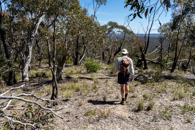
After the track petered out, the ridge was open pleasant walking.
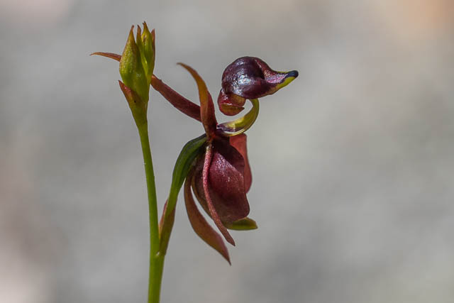
A few more orchids. First a Flying Duck Orchid (Caleana major) –
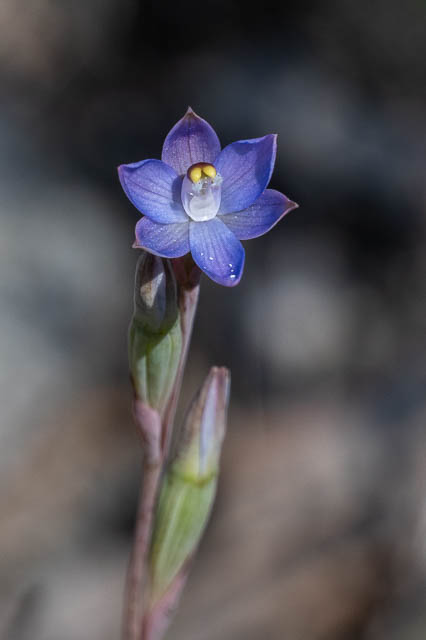
And a Slender Sun Orchid (Thelymitra pauciflora) –
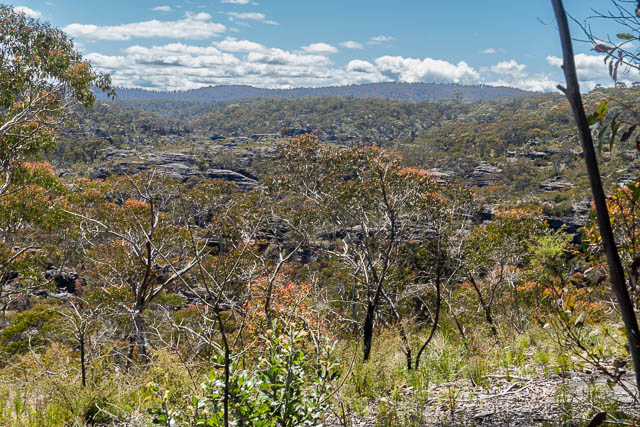
We were now approaching Victoria Brook.
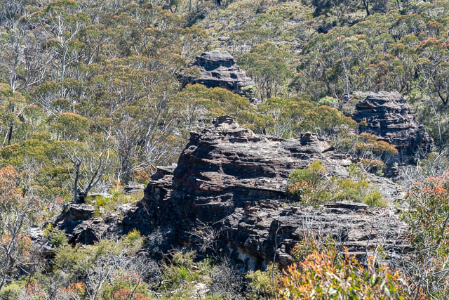
We scrambled down to the creek at the westernmost of the S bends, right down just left of the nose.
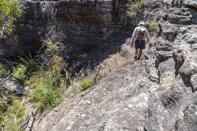
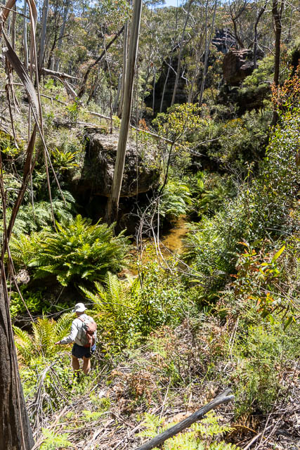
We could see that the next bit would involve wet feet – walking down the stream-bed. In fact, just around the corner, we were stopped by deep water. A swim and a short section of canyon. We scrambled around on the true right, which was not too hard, but it was not so easy getting back down to the creek again.
On the next bend, we walked through a magnificent long overhang.
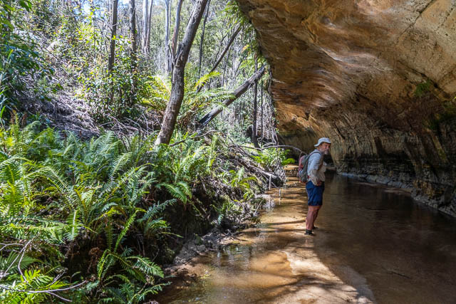
A short way past this, a tributary joined from the south. It had short section of canyon.
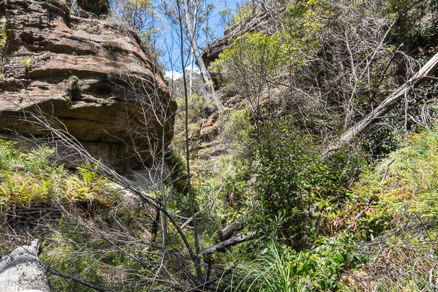
Further on, there was a bored through tunnel. The present stream bypasses this.
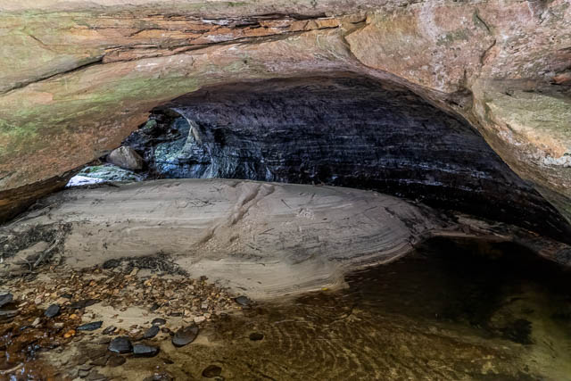
Later, we climbed up to check out an overhang for Aboriginal occupation.
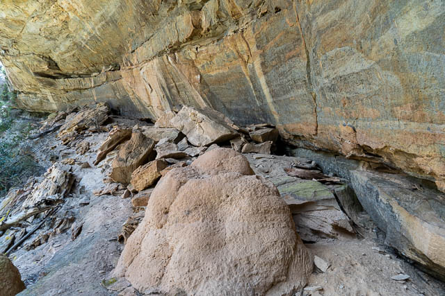
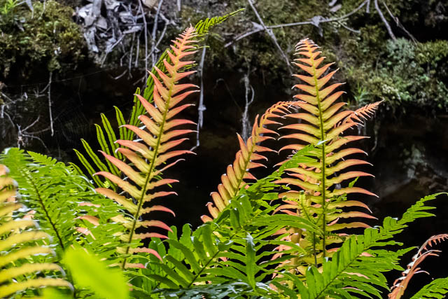
The next section was really nice – reminiscent of South Bowens Creek between some of its canyon sections. Here Victoria Brook flowed through a cliff-lined gorge with open flats on the bends. Tall tress and Tree ferns were on the banks.
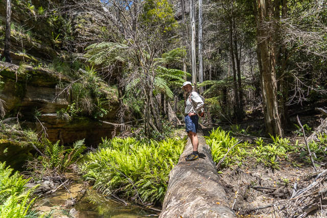
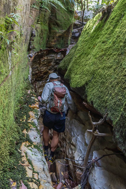
Then the creek started to drop. Here we are bypassing some large boulders –
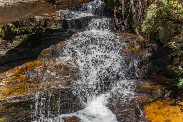
Further downstream, we reached a nice walker fall. The drop was in two stages.
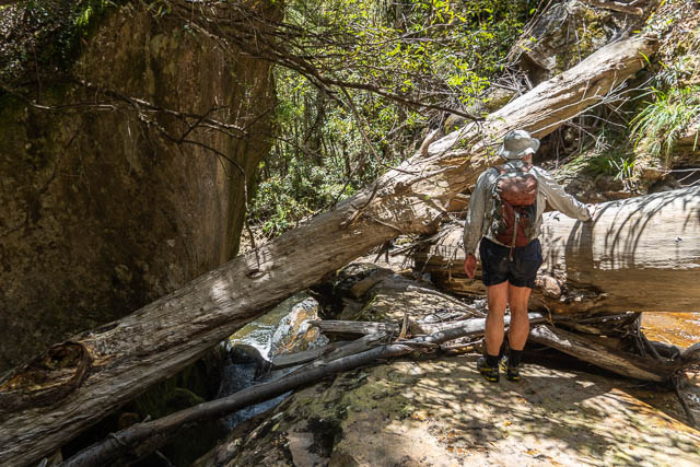
Part way down the waterfall, the ledge and been blocked by fallen trees.
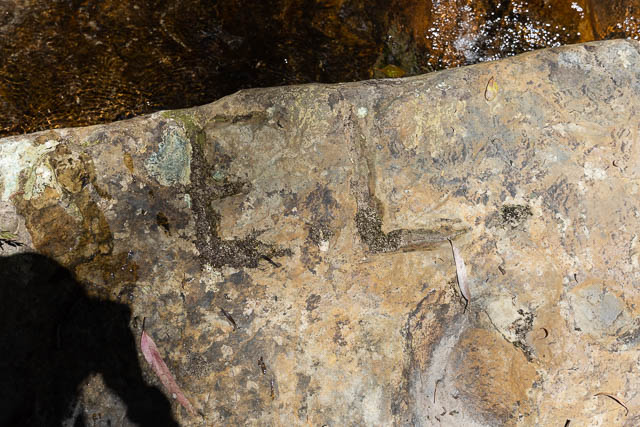
on this ledge, we looked for an found some old graffiti. Chiselled into the rock were three names. This one is (something) “Rienits” –
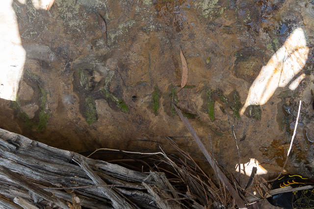
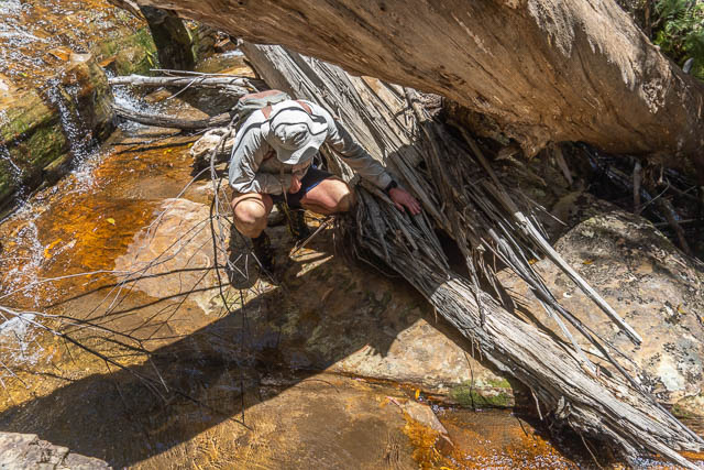
This was one partially covered by a log and was “S Gentle” –
And the last one was “C Ball” –
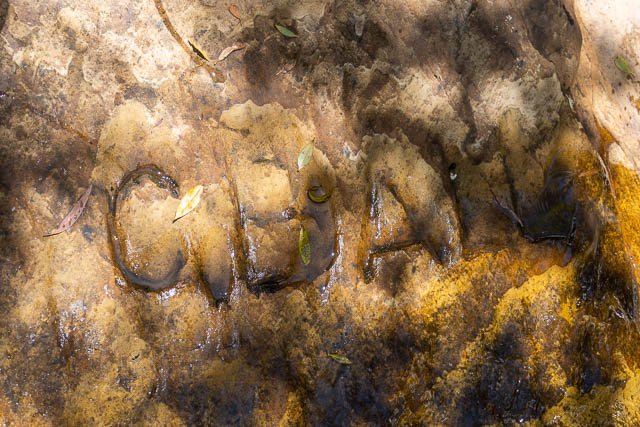
H G Rienits was the person who started the coal mine in the nearby Victoria Creek, around 1903, and we assumed that Gentle and Ball must have accompanied him on a prospecting trip.
We stopped for lunch just below the waterfall.
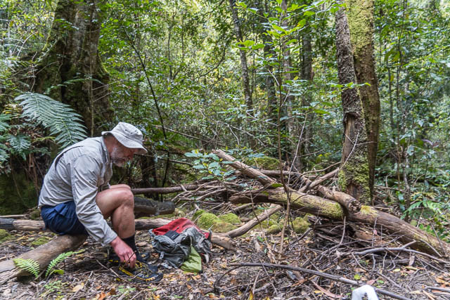
We then continued down the creek, and the going became bit rougher, with large boulders, so we traversed the right hand slopes to cut off the corner to Victoria Creek. We then dropped in Victoria Creek and stared upstream. The going was slow with boulders, logs and pools to bypass, but we did not have far to go.
We reached a small waterfall, probably on the same level as the one in Victoria Brook. Just above it was the coal seam.
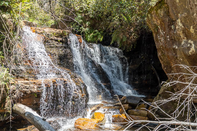
This photo is looking downstream –
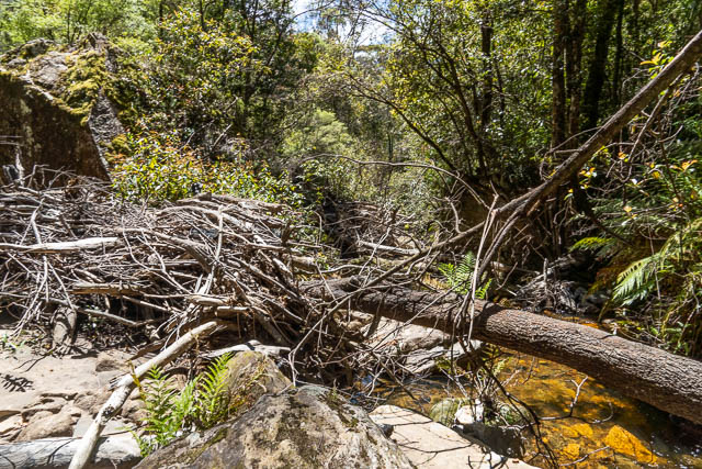
Just above the waterfall, on the true right bank is the entrance to the Rienits Coal Mine.
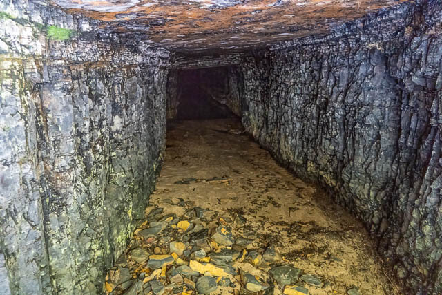
The shaft goes in about 35 metres.
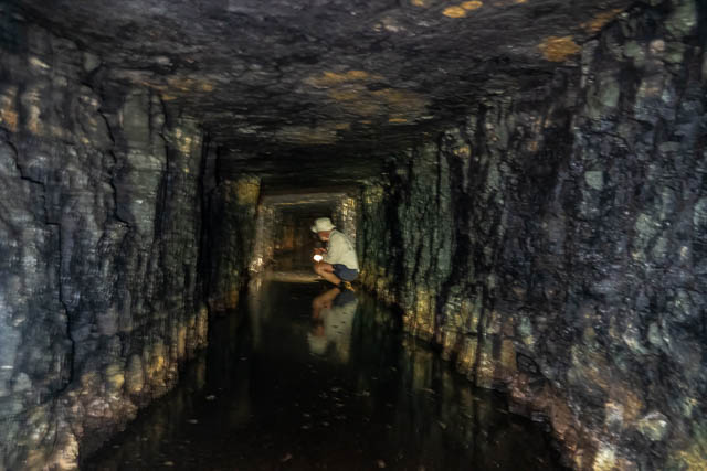
And here, Bob is standing just outside the entrance to the shaft.
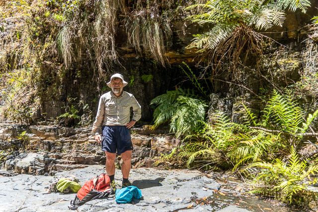
The mie was started by H G Rienits, who was a school master at Mt Victoria from the 1880’s. He was also an amateur geologist. It is thought that his son, Oswald Rienits, worked on the mine.
Not far upstream, we followed a rough pad, one that we had used on the earlier walk, It climbs up to the cliff lines on the east side, and then traverses under the cliffs to a small side gully. A waterfall and cliffline stops progress this gully from the main creek and the route under the cliffs bypasses these obstacles. It is then possible to climb out onto the Burra Korain Ridge on either side of this gully, but it is shorter to cross the creek and then follow easy slopes to the track along the ridge. That was the way we went.
It is possible that this was the same route used by the early miners.
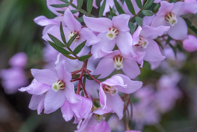
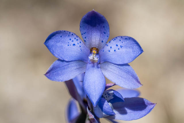
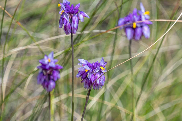
As we climbed, more flowers –

Once on the track, it was not far to the Burramoko Ridge Fire Road, and then short walk back to Bob’s car.
