
Bob was keen for a walk in the Munmorah State Recreation Area, but it looked like access to where he wanted to walk was cut off, so I suggested a walk nearby in Bouddi National Park. It was a walk in the National Parks Association of NSW’s book – “Bushwalks in the Sydney Region, Volume 1”. It was to Box Head, a place neither of us had been to before.
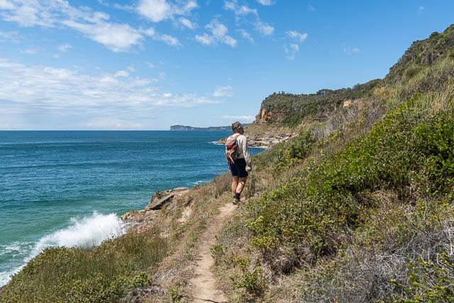
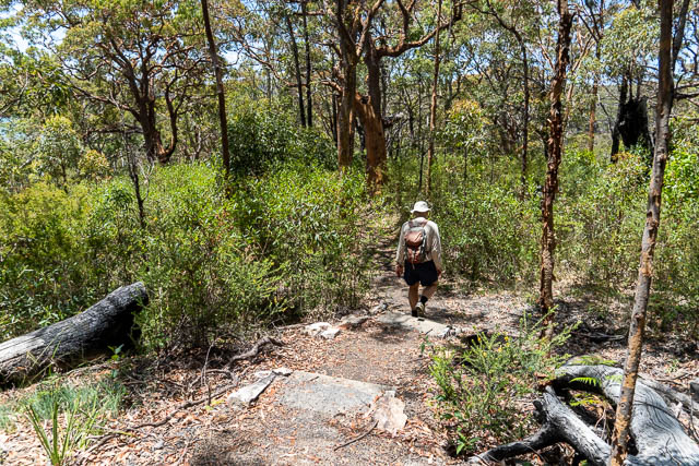
So we travelled up to the Central Coast, through Woy Woy and then out to Killcare. Bob parked at the start of Hawkes Head Drive. From there we walked along Hawkes Head Drive – which is a rough dirt road into Bouddi National Park.
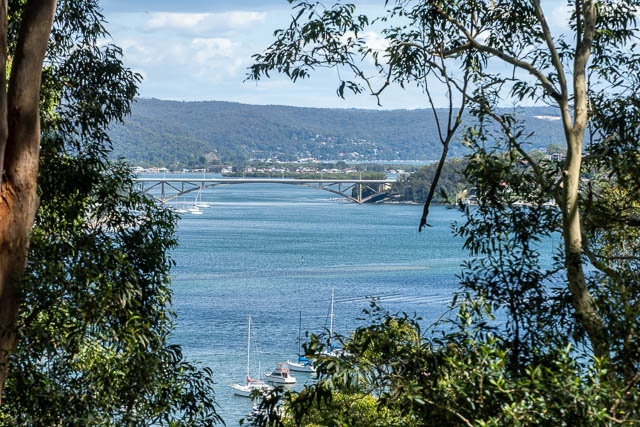
Along the way, we could get good views of the Rip Bridge –
And we could also see down to Putty Beach –

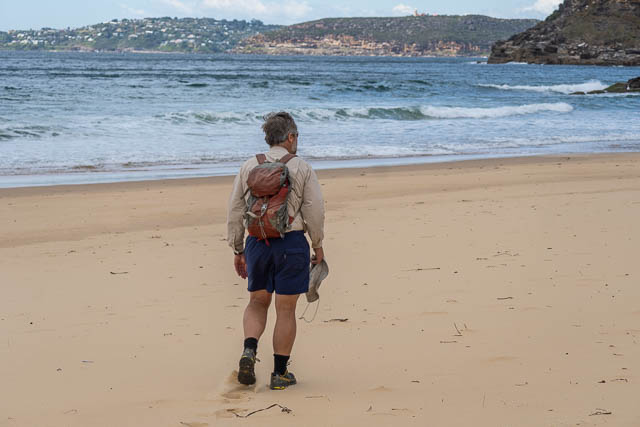
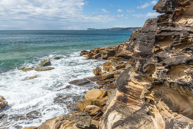
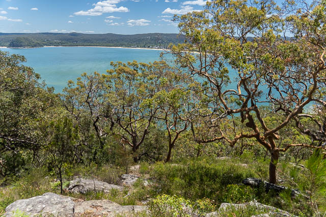
And views along to Box Head –
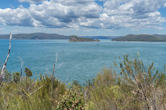
Here is another view looking at Box Head and across to Barrenjoey –

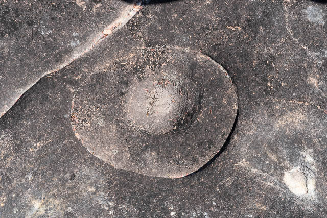
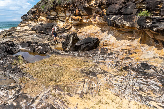
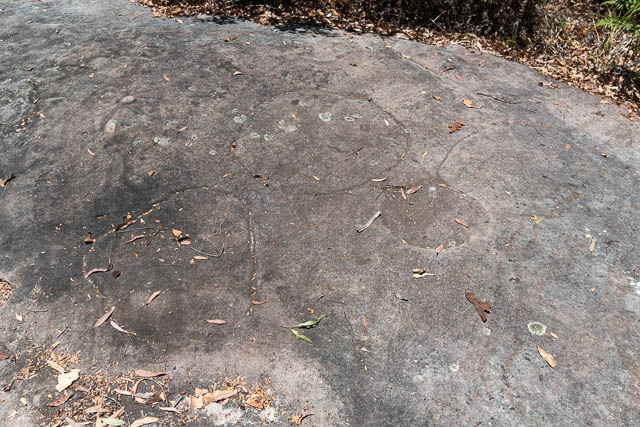
We checked out a few nearby rock areas for Aborignal engravings and sharpening grooves. We did find this Kangaroo engraving –

Near it was this circular feature. Could it also be made by Aboriginals? Perhaps the inner circular depression.
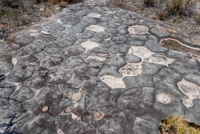
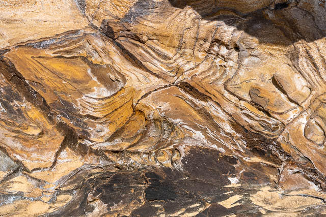
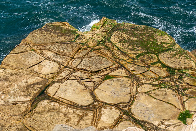
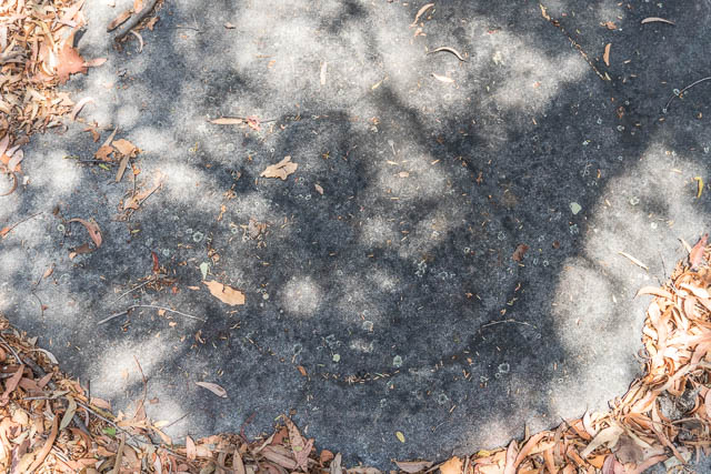
And these were close to this section of tessellation’s –
And there were lots of Flannel Flowers out –

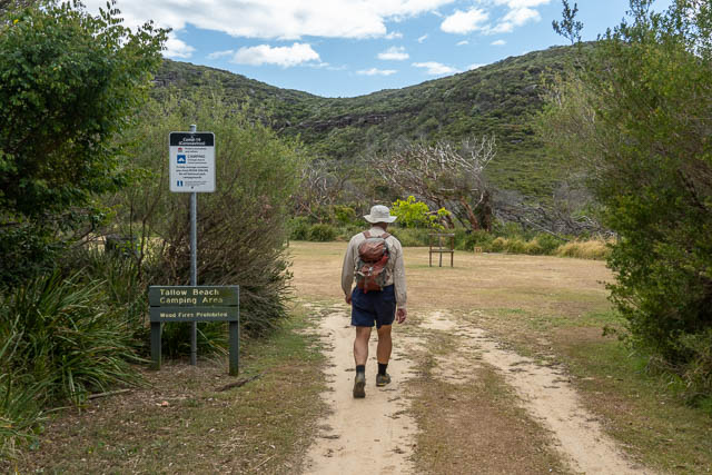
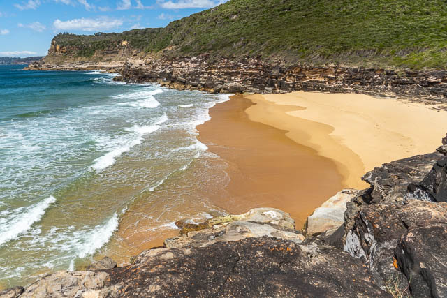
Our next objective was Tallow Beach –

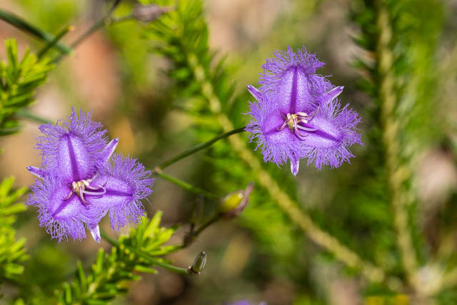
Here are some Fringe Lilies –
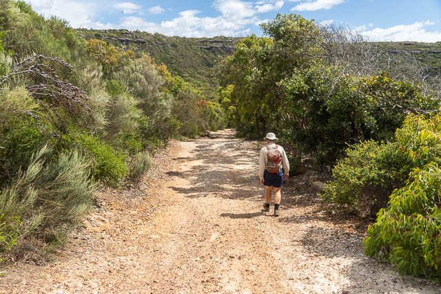
The “track” down to Tallow Beach was really a closed off fire road.
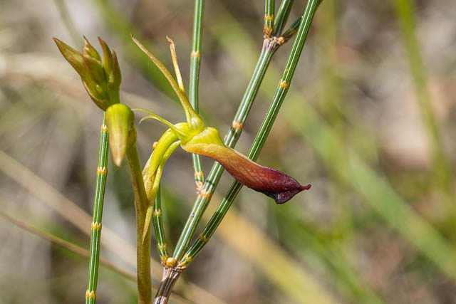
on the way down, we spotted some Large Tongue Orchids – Cryptostylis subulata –
Near the back was a nice camping area.
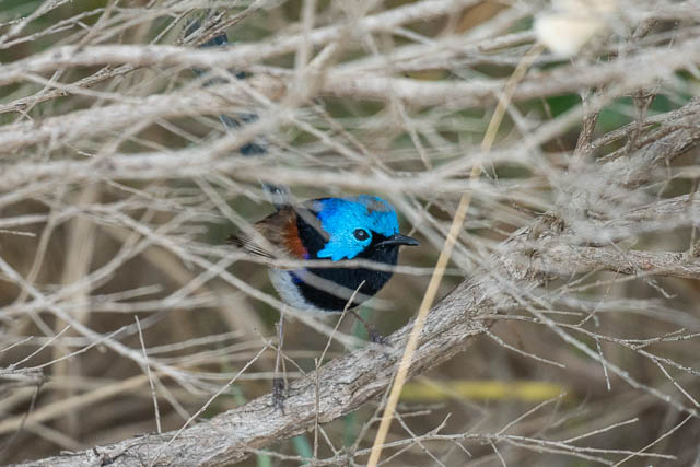
Variegated Fairy-wren

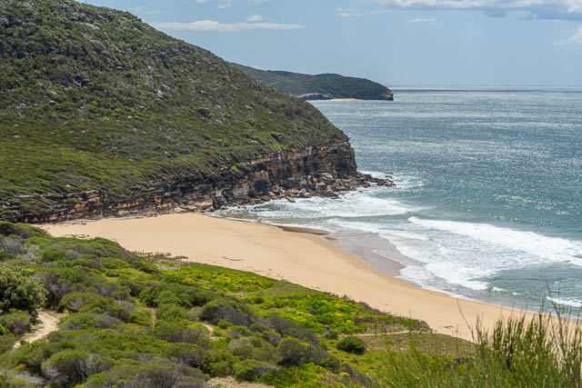
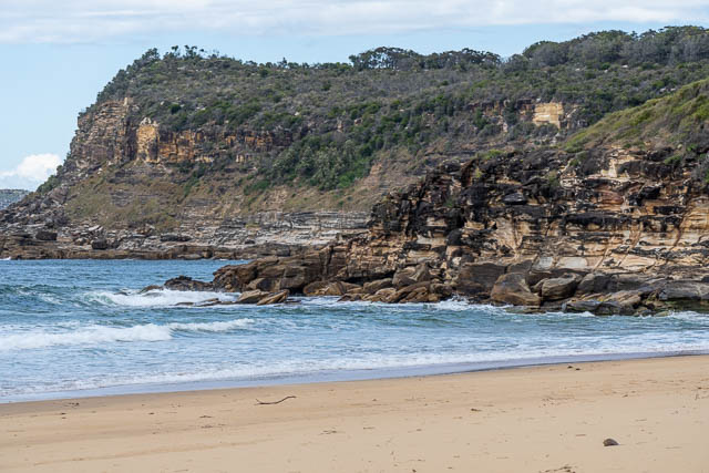
Tallow Beach was a pleasant spot.

At the south end of the beach, we scrambled up to a higher level and made our way around small headland.


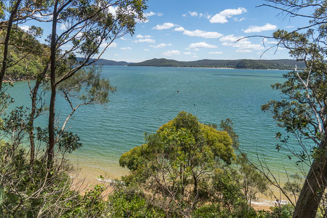
This took us to Little Tallow Beach –
At the back of the beach we found this midden –

The notes in the book said to take an overgrown track up to the ridge, where we would meet the track to Box Head. Well. we flowed a track around towards Box Head just past Little Tallow Beach. The track seemed to go around the base of the head, and in retrospect, that would have been the best way to go.
We looked for the overgrown track, and found one, but it soon petered out, and we then had a section of scrub to negotiate to get to the high level track. This section was short, but unpleasant. But once on the ridge, we found the track -and it was open and easy.
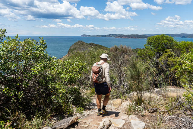
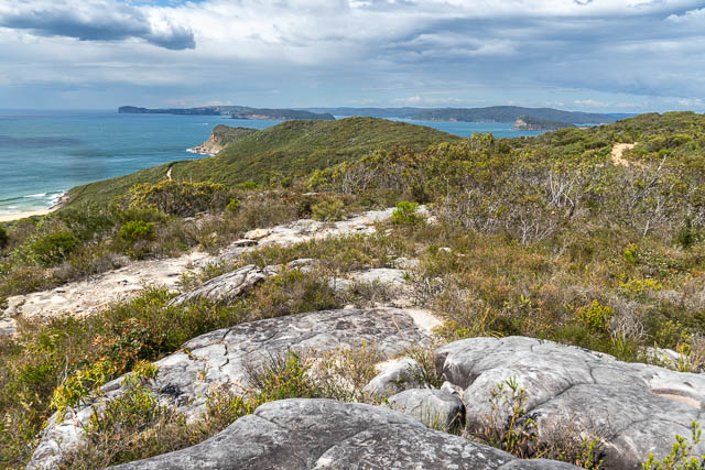
We soon reached Box Head. There were great views to the south – including Barrenjoey and Lion Island. We could also see a rough track going down to the rock platform.
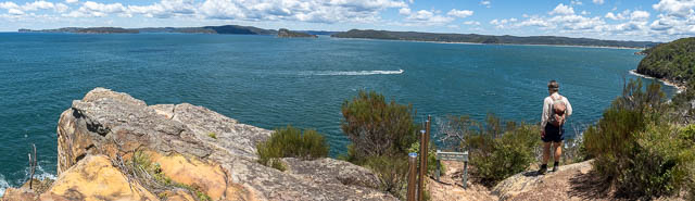
This next panorama is looking north –

And a view towards Lion Island –
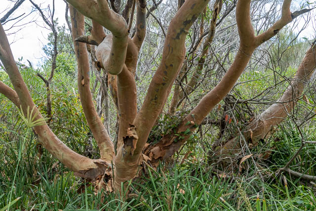
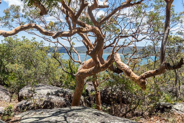
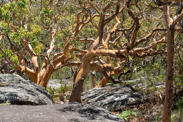
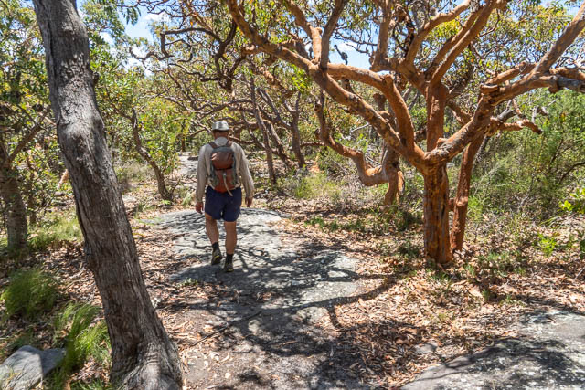
We found a shady spot to stop for lunch, then followed the track back to near Hawkes Head Drive, and turned off on the Flannel Flower Track that led to Lobster Beach. On the way, we saw lots of nice Angophora costata trees –
And flying overhead were some White-throated Needletails –
We checked out another rock platform, and found some more Aboriginal engravings. These were circular –
And this longer one –
And we spotted cluster of Bonnet Orchids – Cryptostylis erecta –

This part of the track was quite good, with new steps.
Here is one of many Fringe Lilies –

The track descended down towards houses, then we turned off and followed aside track over a rise and down steeply to Lobster Beach.
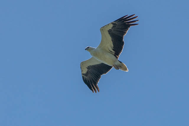
This was a good place to have a break. We could see a White-bellied Sea Eagle cruising high overhead –
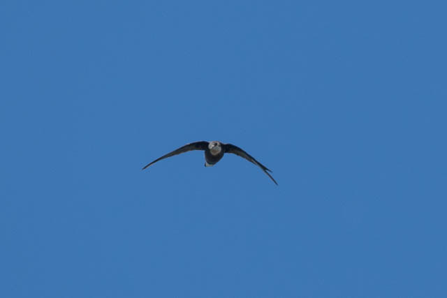
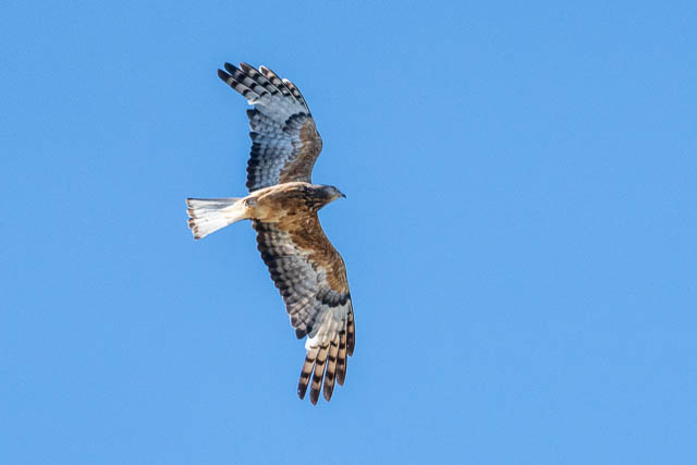
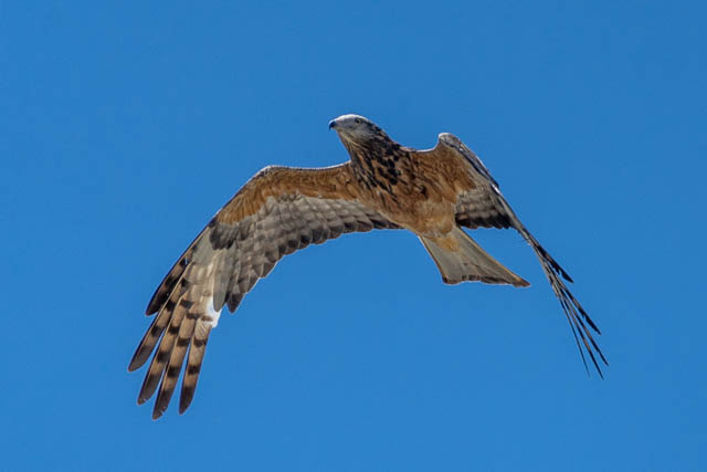
We then went back up the hill and down to the main track again. It was then not far to the roads of Pretty Beach. We followed the roads all the way back to Bob’s car via Hardy Bay. On the way, we saw this Square-tailed Kite (thanks to Sam for the i.d.).


This had been a very pleasant day walk.