This is always a nice canyon to revisit – one that offers good value. For the effort involved you get to visit a fair bit of canyon. It was essentially a repeat of a trip I had been on back in December 2020 – and all the members of that party were on this trip, plus some more.
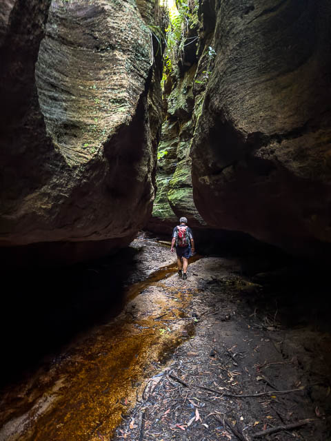
On the previous trip had been Bob, Ian (Nipper) and myself. And this time we were joined by Ian’s wife Airdrie, their daughter Ella, and Ella’s work friend Tegan. Like the previous trip, we started from the Mt Wilson Road, at what is now called the Red Hill Fire Trail.
We walked about 100 m along the fire road, and then set off down a now scrubby ridge, down to the south branch of Bowens Creek. The previous trip had been not long after the bushfires and it was a lot more open then.
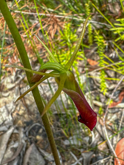
The going was scrubby, but it is an easy ridge. Towards the bottom is an easy scramble down a ramp to the creek. On the way down, we spotted a single Large Tongue Orchid – Cryptostylis subulata –
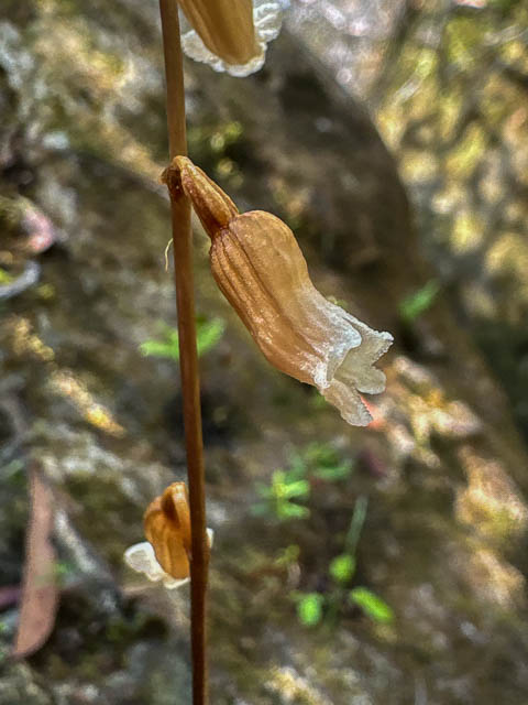
And I spotted another orchid growing in the creek. Potato Orchid – Gastrodia sesamoides –
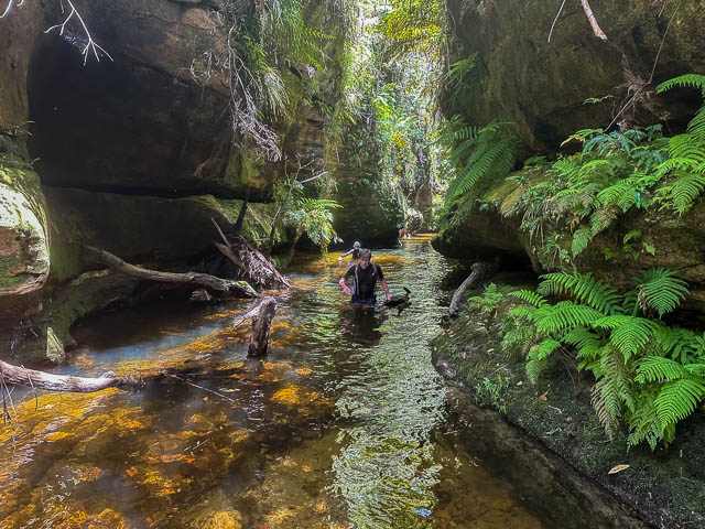
A very short way downstream, the creek enters a nice section of canyon. It is easy going, with a few wades.
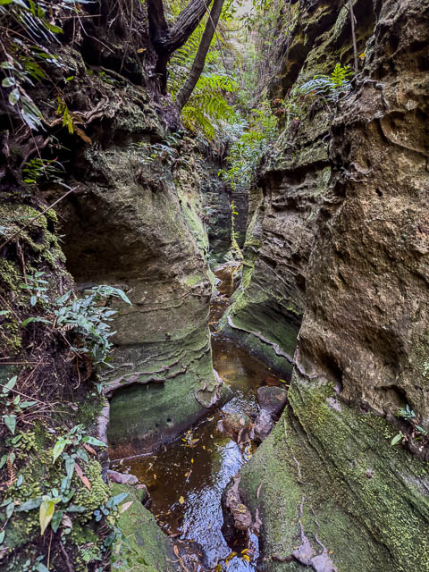
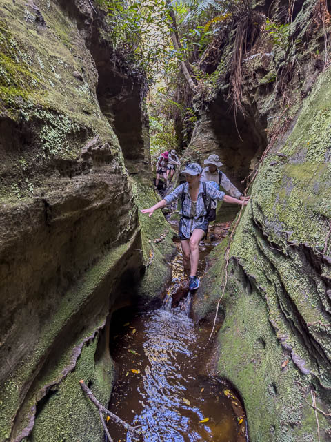
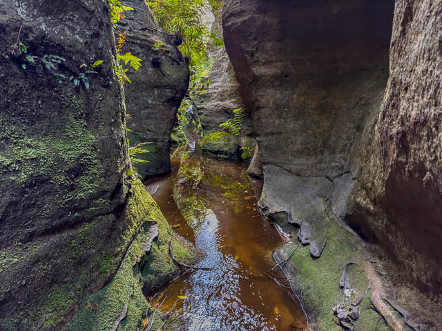
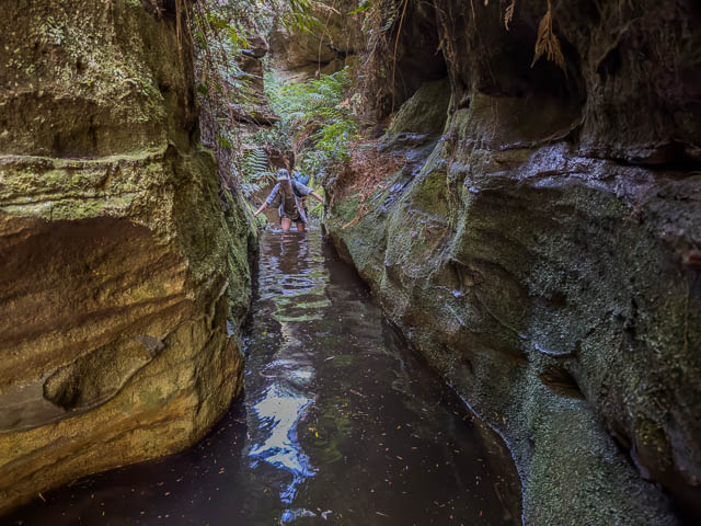
One part was quite deep –
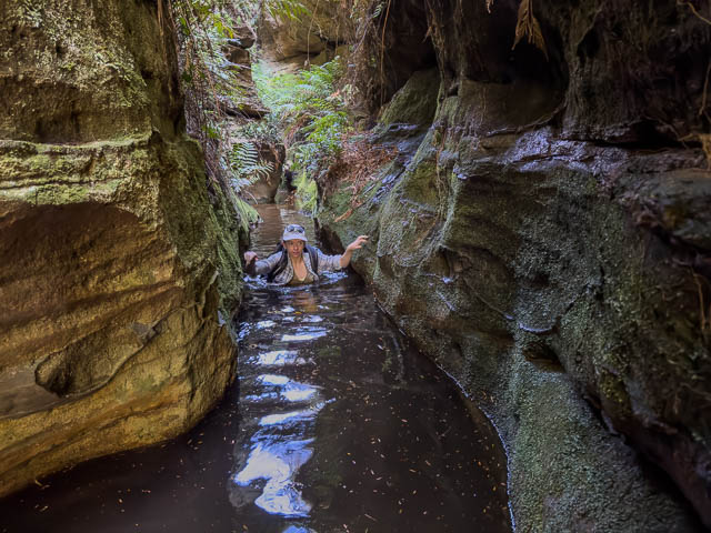
This canyon section is quite long.
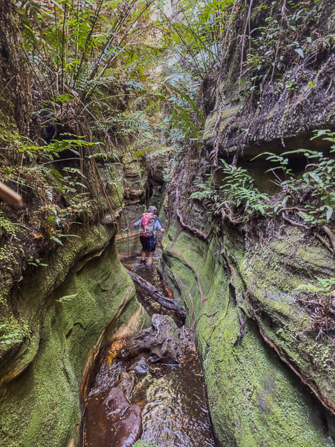
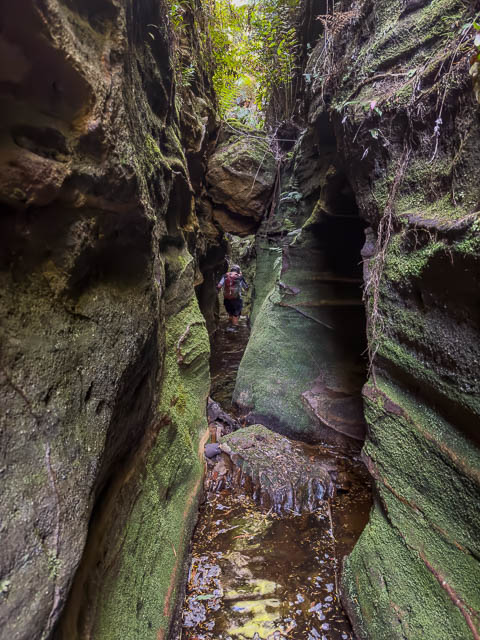
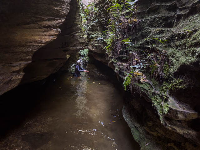
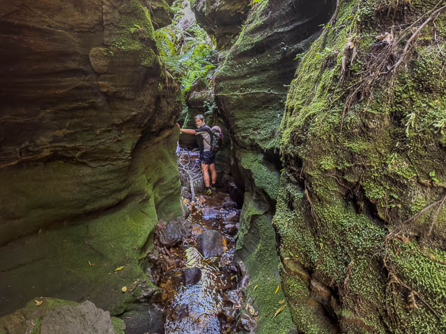
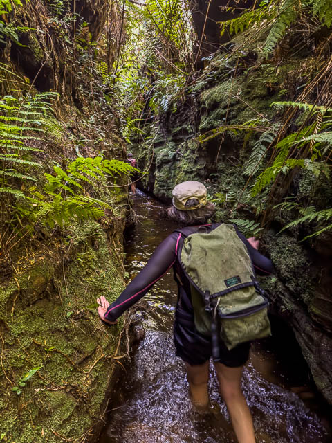
The next part is nice, being in a deep slot –
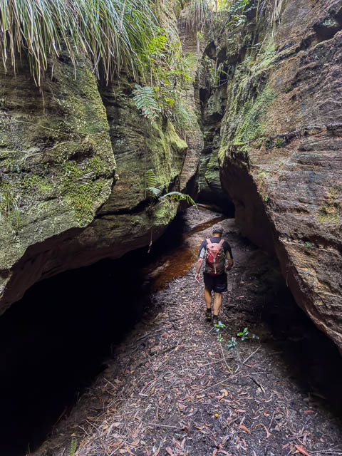
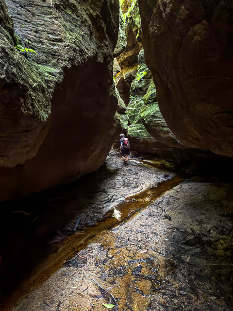
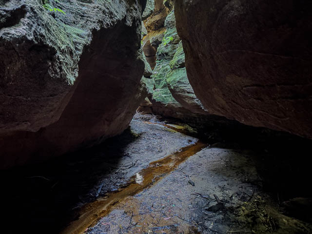
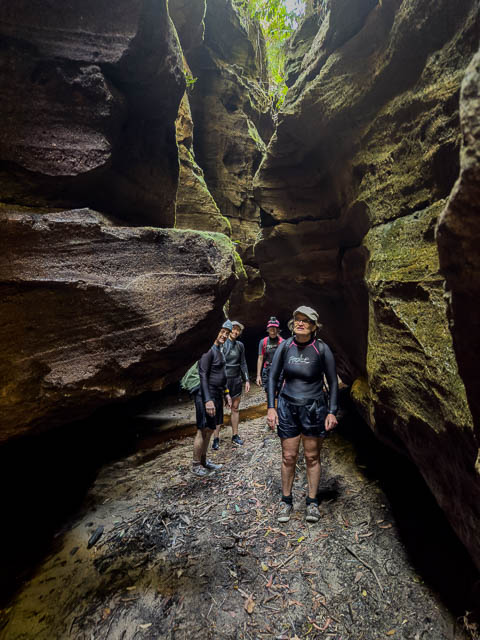
Then the creek opens up and is scrubby for s short while, until it starts to drop again.
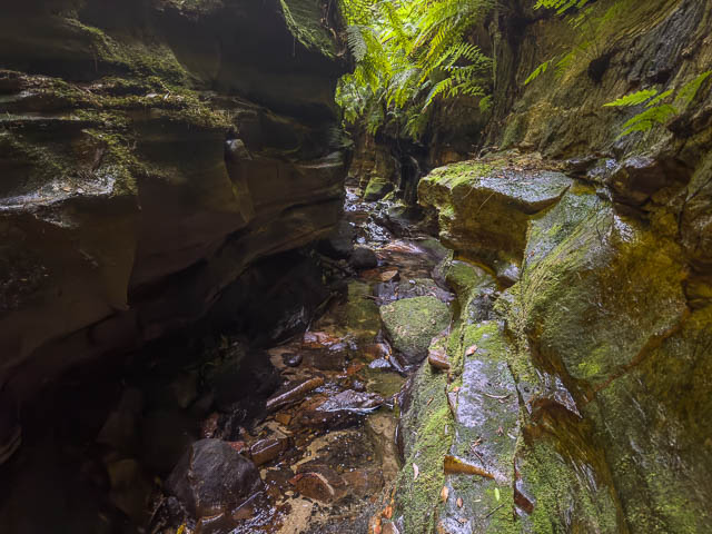
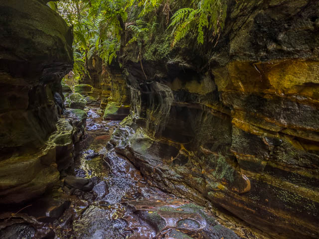
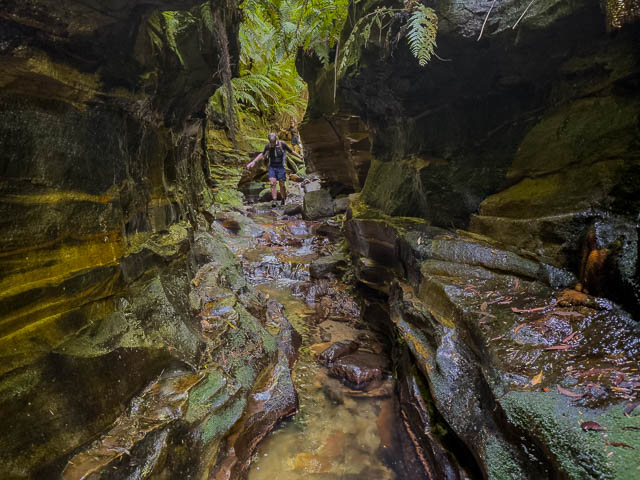
A small waterfall needs to be climbed down –
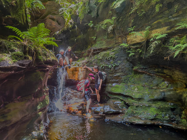
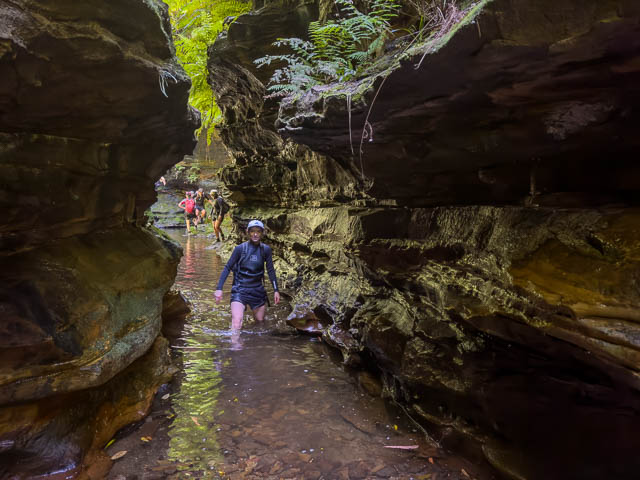
We are now a long way down the canyon. But some people miss all this upstream canyon and start near here, by abseiling down a tributary from the south.
The canyon continues –
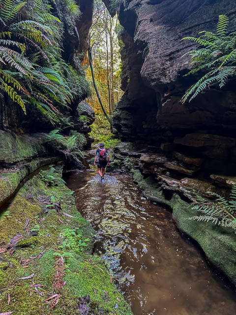
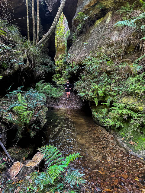
Then the creek passes through a non canyon section. But the going is very easy – on open banks, with tall Coachwood Trees. The creek winds around with slow bends.
Then there is a short, scrubb, bouldery section. This ends with a sudden drop. Here some parties abseil, but it an easy scramble to get down through the boulders. This takes you to the start of the lower constriction of the upper section. It is the longest constriction in the branch and of high quality.
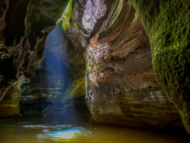
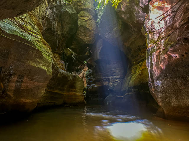
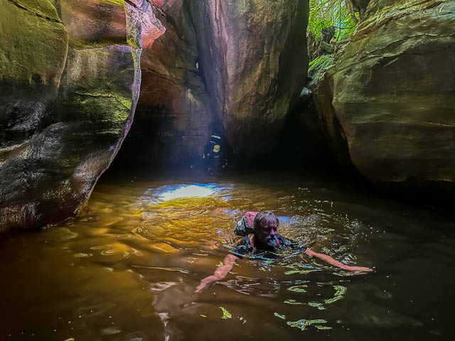
The upper section of the south branch used to be a fairly dry trip, with only one or two short swims. But over the years, the same has moved around and now there are some quite long pools.
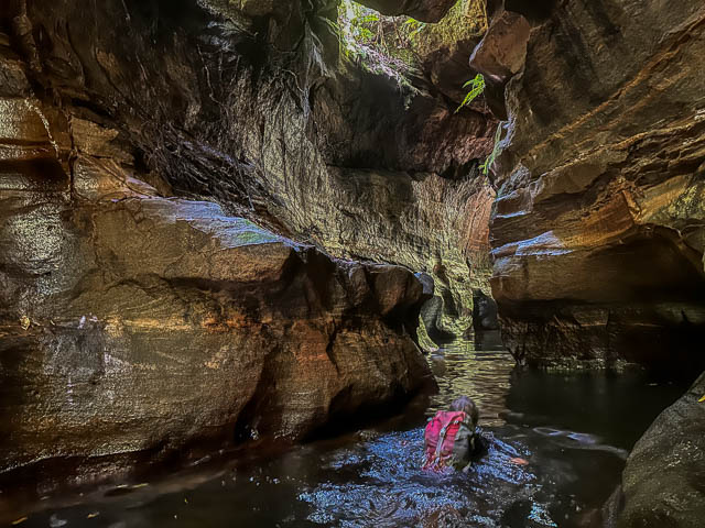
And below is a short technical section –
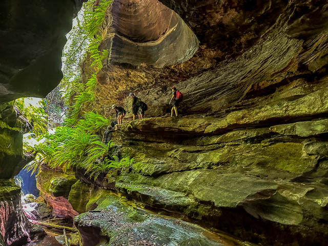
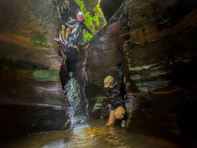
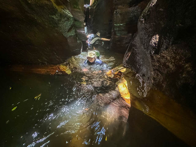
Then easy going once more –
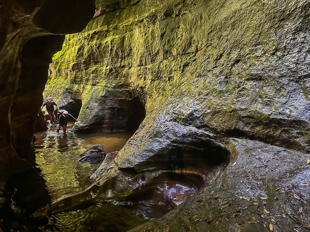
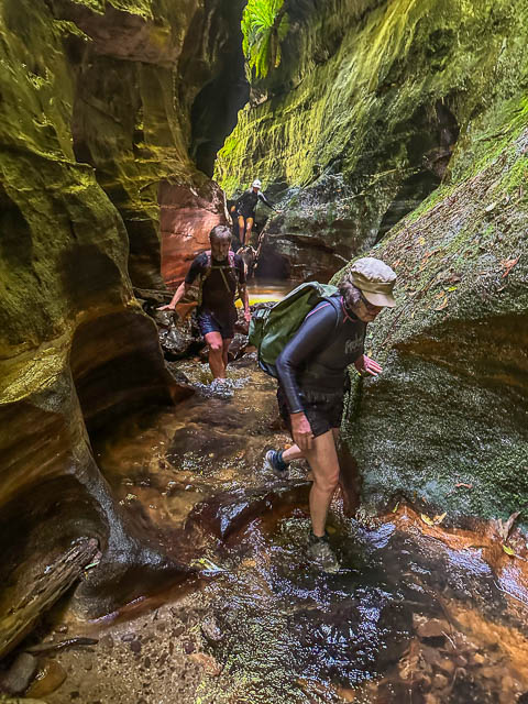
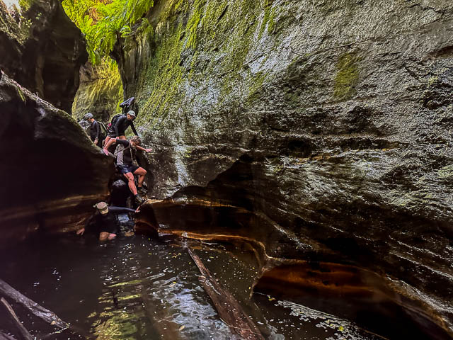
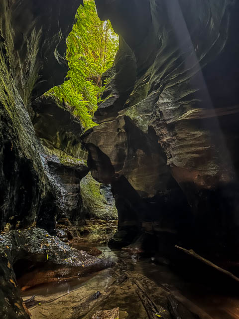
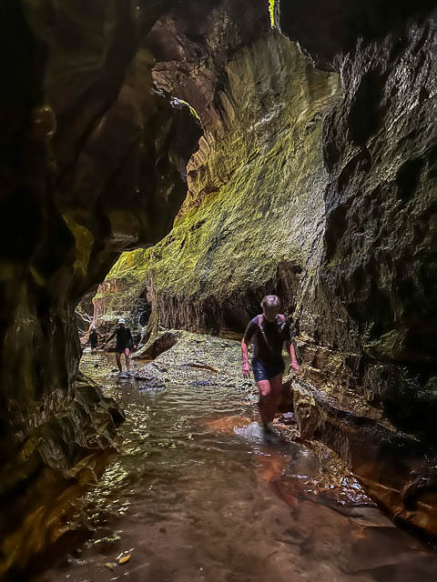
We soon reached the junction with Hobnail Canyon (Range Creek). We continued downstream for another ten minutes or so, and caught up with another party having their lunch.
It was quite warm and sunny at that spot, so we had lunch too. Then we climbed out up a pass on the true left. The other party climbed out on the true right. Our way was relatively easy – up to a power line, and then a fire road walk back to the cars.

Looks amazing. Planning on heading out this weekend.. May I ask approx how many total kms..??
Probably about 10 km