Not long ago, Bob and myself competed a walk to Ahearn Lookout, just above the Nattai River. On that walk, we had looked at Mt Jellore – a prominent peak to the south, and thought it worth climbing. Over the years, I had noticed it from the Blue Breaks and the end of Narrow Neck, as being the peak that stuck out the most on the south eastern horizon. So when Bob suggested it for a walk, it did not take long to agree.

It is quite an easy mountain to climb with a well marked track leading to it. It lies in the Mt Jellore Flora Reserve, administered by the NPWS.
We travelled down to Mittagong, then went along the Wombeyan Caves Road a short distance, and turned off on the Soapy Flat Road. The car park is short distance from where that road enters the crown land.
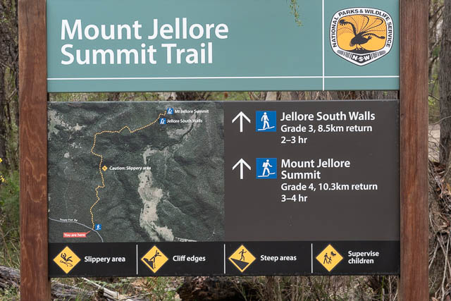
At the carpark is a large sign –
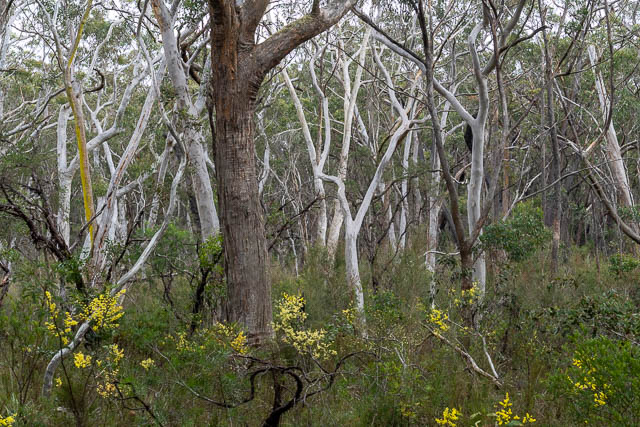
Then we followed along a fire road, at first through nice woodland.
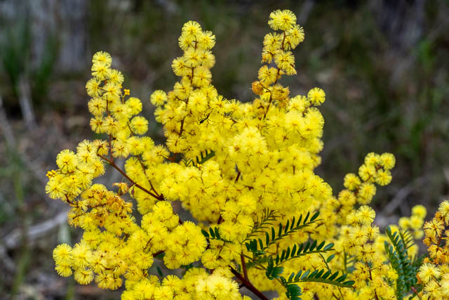
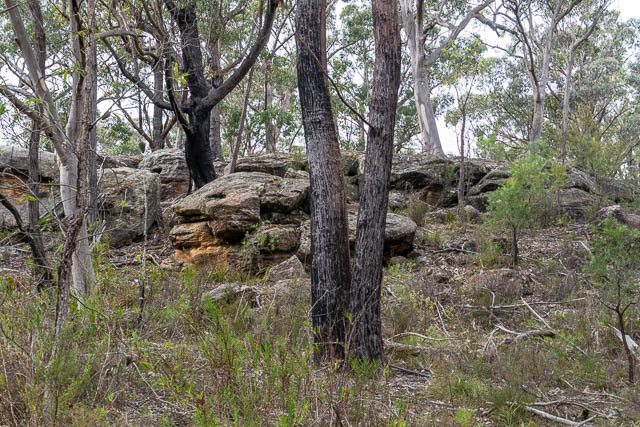

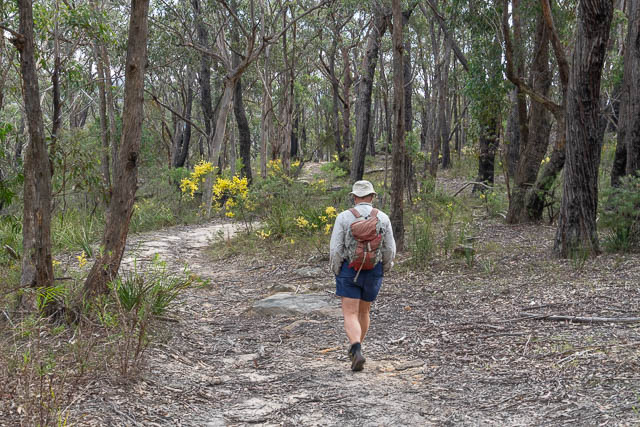
There was plenty of wattle in flower.

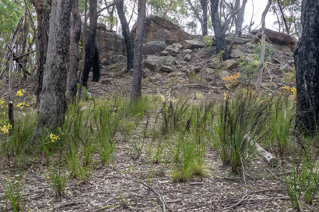
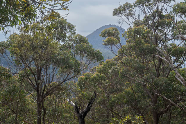
Just before we descended to cross a creek, there is a filtered view of Mt Jellore.


On the far side of the creek, the track leads to another fire road that had earlier passed through private land.
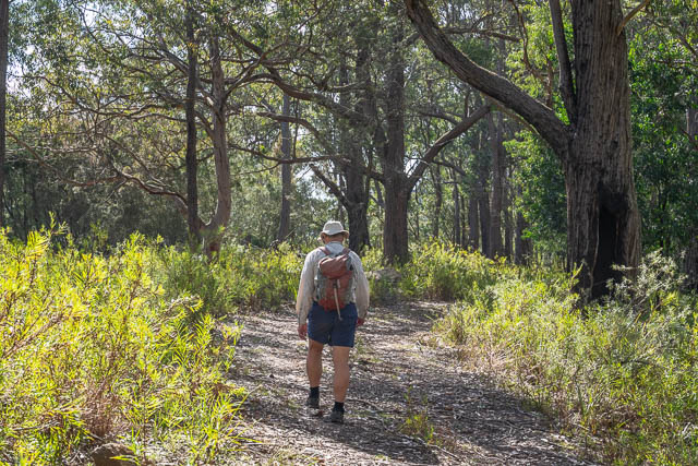
The road took us to the base of the mountain. Here we could view Jellore South Walls.
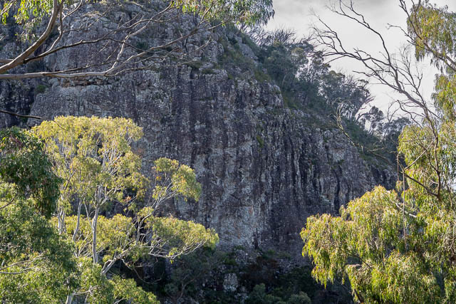
Mt Jellore is formed from an intrusion of Microsyenite (an igneous rock composed of feldspars and hornblende)
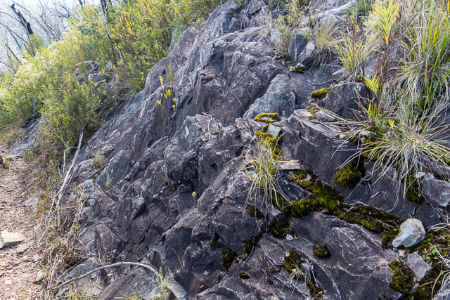
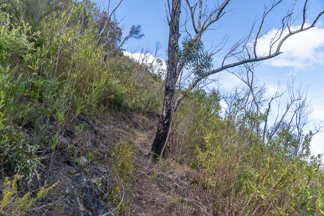
It is quite an easy walk to the summit.
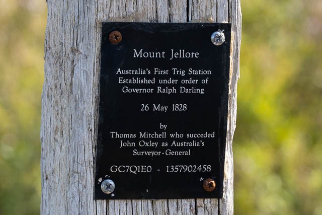
And here we found the remains of the trig station. The first built in the colony.


We then followed a track to the north for some great views.
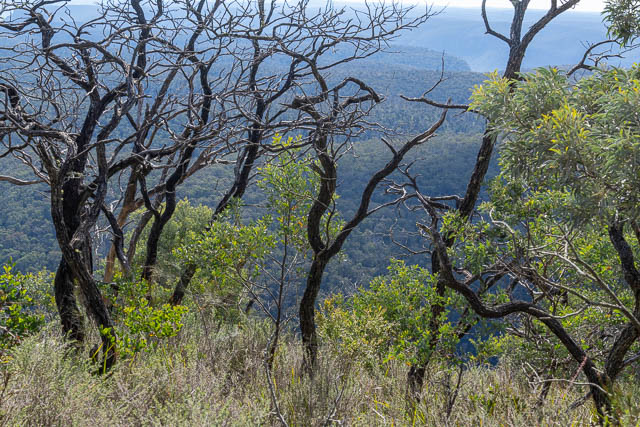
Looking down to the Nattai Valley –

Distant Peaks – (L – R) Mt Cloudmaker, Mt Bolworra, Mt Dingo, Mt Merrimerrigal, Mt Mouin and Narrow Neck –

Ahearn Lookout in the Nattai Valley (2/3 from the left)

We then returned the same way, stopping for lunch on the shale cap of a small peak along the way.
