
Bob and myself had planned to visit this canyon a bit earlier in the year on a trip where we would first visit Koombanda Canyon, and then exit by reversing Kamarah. But on the planned day, the weather was cold and wet so we did something different. So now we just planned to visit Kamarah Canyon, and start off from the top.
I had visited the creek once before, in 2002, and Bob had also visited it, but right back in 1976. So it was time for another visit.
Bob parked on Bells Line of Road, as we were soon walking down the climber’s track to Bell Supercrag. Along the way, we turned off the track, and walked down to a saddle and then into the creek near a major bend.
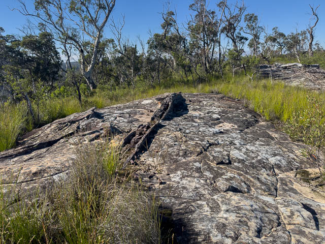
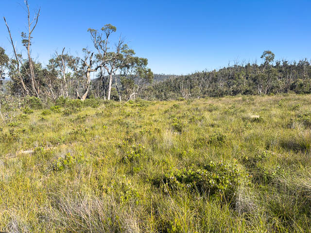
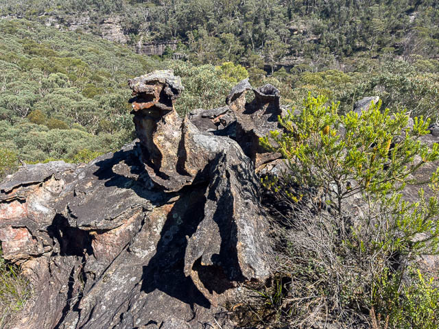
Here are a few photos from the ridge –
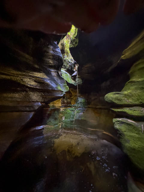
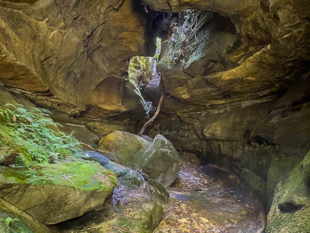
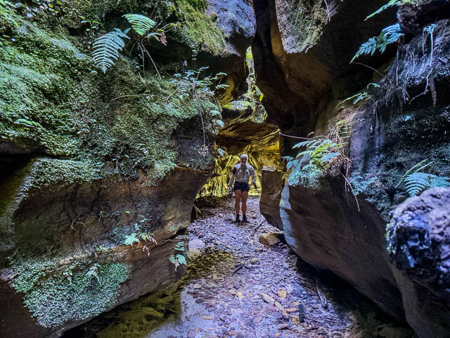
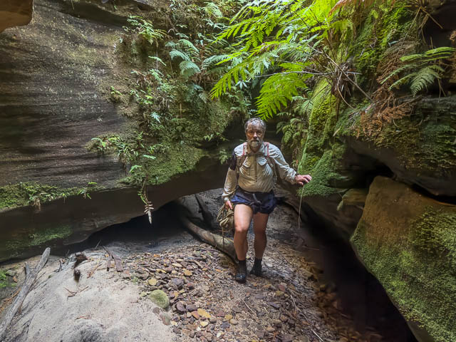
A short way down the creek was a drop. There was no obvious belay point to abseil off, so we saddled around on the right trying to find a place to scramble down. It was a bit scrubby, so in the end we did a short abseil and then we found our selves in a low quality canyon.
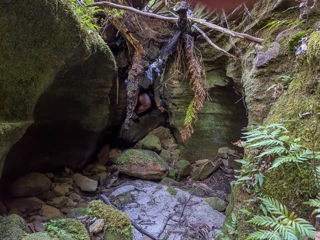
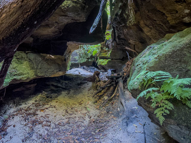
A bit further odnstream, it opened up into a sandy area, and not far past that there was a place were we had to climb under logs –
Past this was another drop. On the left was an old rusty bolt, with no head. Not a good anchor. Bob started to chimney down, and this was a bit tricky, but it was not far down. He then bridged over a deep looking pool.
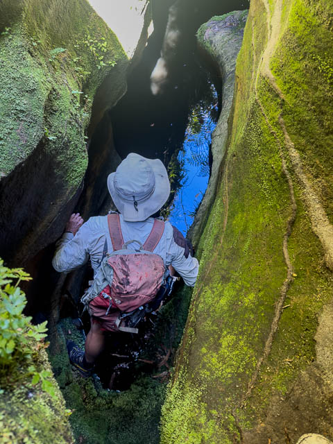
I followed, but slipped on the bridging and fell into the pool, getting quite wet. It was deep! I had not bothered waterproofing and later had to eat a partly soggy sandwich for lunch. Luckily, I had decided not to bring a camera and just use a phone for photos.
We continued downstream.
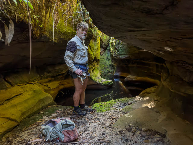
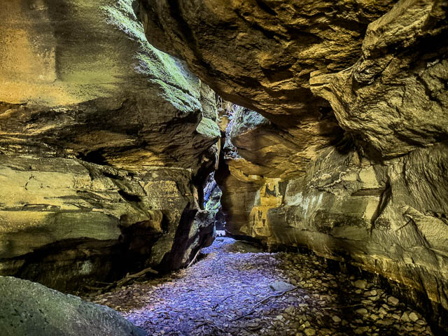
The main drop, was not far down, and this one did have a suitable belay point, a sling threaded around a boulder (or was it a log?). We only had a 20m rope, and this was sufficient.

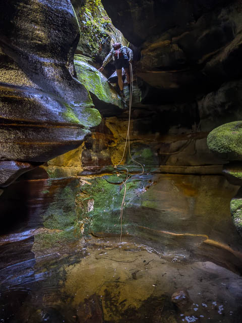
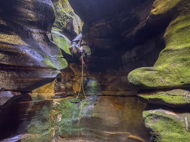
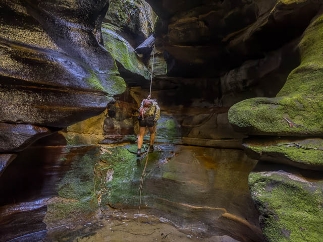
Its interesting. The abseil takes you into a nice chamber. There is a shallow pool, ankle deep, but to continue, you have to climb up a metre or so. So this once would have been a rather deep pool, and it could fill up gain after heavy rain.
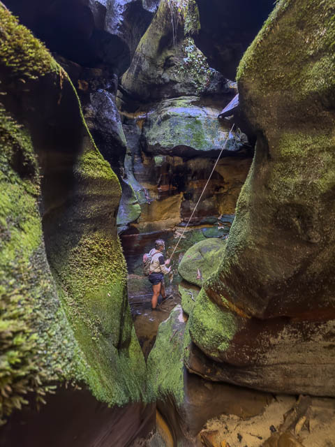
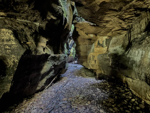
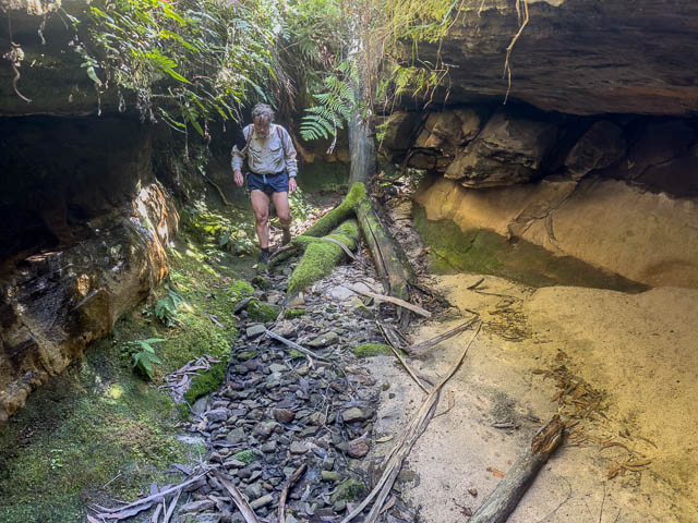
After this, there is a nice section of canyon. It is completely dry and very easy to traverse.
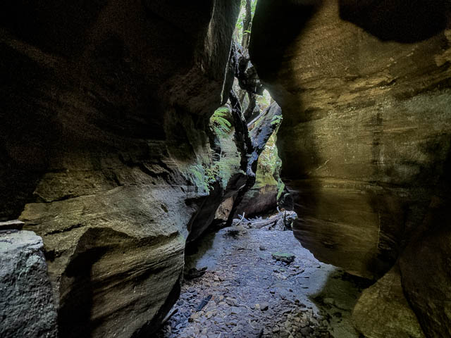
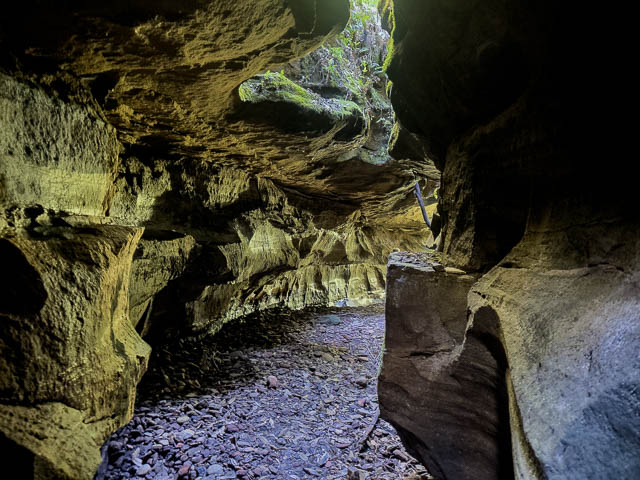
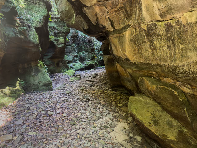
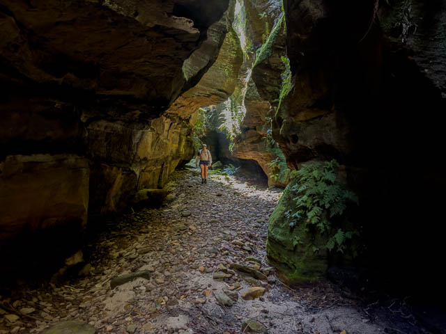
The canyon continued for about 200m and is well worth visiting.
Why is it dry? Later, Bob looked at some of his 1976 slides, and saw a lot more water in the photos than we experienced. We think it is likely that all the water in the creek has been lost due to subsidence from the old underground coal mine.
When the canyon ended, we found an easy place to scramble tout on the true left, onto the ridge.
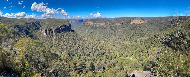
We then walked out the far end of the ridge – Kamarah Ridge, where we obtained great views of the Upper Grose Valley.
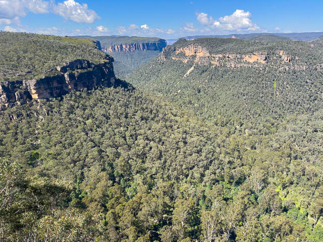
In the photo below, Junguburra Creek is on the left, and Wilkinson Hill in the middle, then the Grose Valley with Thor and Valhalla Heads on the right.
Here is a panorama –
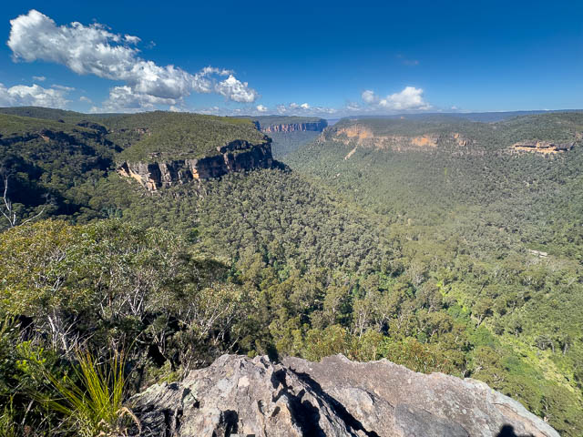
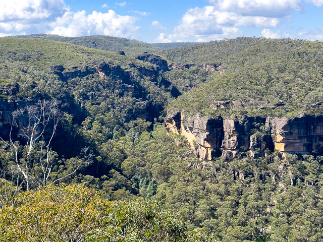
Zooming in –

And a closer look at Junguburra Creek and ledges –
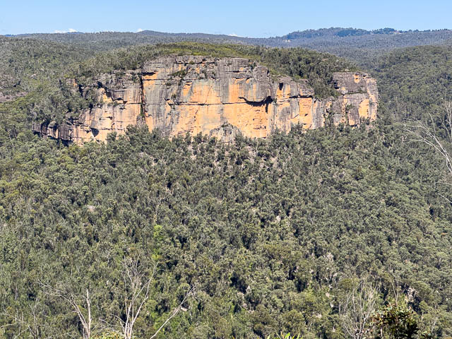
And Ikara Head –
After having lunch, we walked back alone the ridge, back to the climber’s track, and then back to Bob’s car. A nice day out.