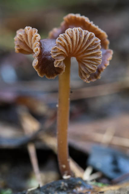
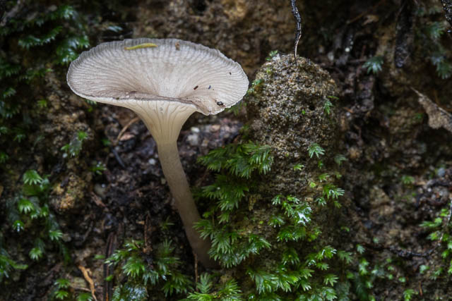
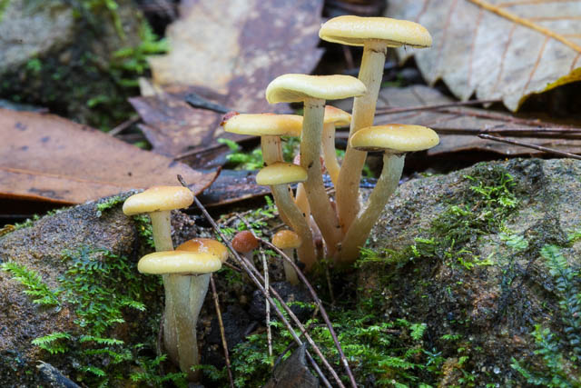
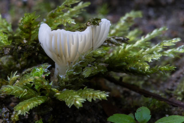
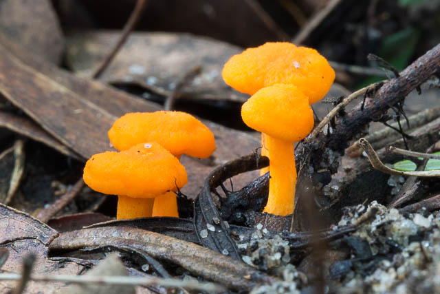
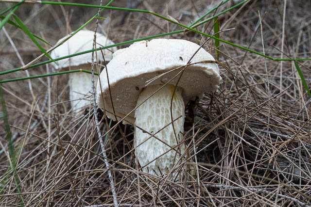
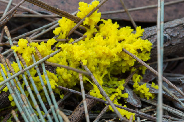
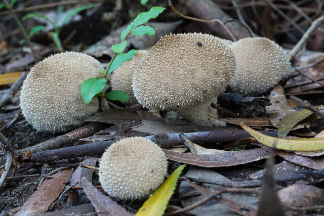
I went on a very pleasant walk down the Lane Cove Valley from Thornleigh to Macquarie Park. I want to explore the valley a bit more and also to look out for fungi.
I started from Thornleigh Station and I walked along the street to the trackhead at Short St. My intention was to walk down the track going down Boy Scouts Creek to the Lane Cover River. A track is marked going this way on the STEP map of Walking Tracks in the Upper Lane Cove Valley. I found the start of the track easily enough, but as I followed it – it didn’t seem to be going the right way. It followed the creek at the start and then crossed it and climbed up on the far side and then started going back up the valley. I decided the original track was either overgrown or didn’t exist, so I back tracked an climbed up a side track to the ridge out from Thornleigh Oval – out to a nice lookout. I then backtracked again and join the Great North Walk Track as it descended to the valley.
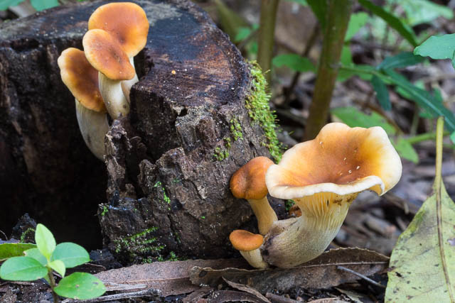
On all this – I had seen a fair bit of fungi out, but there was much more out when I arrived at the very moist valley where the track crosses the river.
I then made my way, slowly down the Great North Walk Track, stopping many times to photograph the fungi. It was easy, pleasant walking all the way along to the De Burgh Bridge. After walking under the bridge, I followed the track that climbs up to it and crosses it on the east side and then descended on the other side of the valley to the Riverside Path. This was the area I had visited a week or so before, and I knew it was not far to Porters Creek Bridge – and it was a good area for fungi.
At Porters Creek, I walked back via the road to the entrance gates and then back along Lane Cove Road to Macquarie Park Station. It was a good day out.
More photos on the fungi are online here with my attempts at identification.

