
Bob and myself finally completed a walk we had intended to do more or less in 2020. Back then, we had set out, but failed at the first pass, so we had to greatly modify our walk. The pass we had failed on was the descent to Glenbrook Creek from the end of the Greens Road Firetrail at Valley Heights. On a later trip, again in 2020, using a much easier crossing of Glenbrook Creek we did reach the second objective of the earlier bushwalk – visiting a nice section of Kanuka Brook. But we still wanted to revisit Greens Road and its firetrail and discover the pass down to Glenbrook Creek.
On our first walk, Matt Stevens had commented that there was a pass and had mentioned where to look. And indeed – a route seems to be marked on Open Street Maps, at least going part way down.
So we again set off along Greens Road. This time Bob had parked at the barrier at the start of the fire trail, as we intended to walk out via the track to the ridge from Florabella Pass.
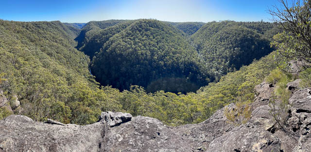
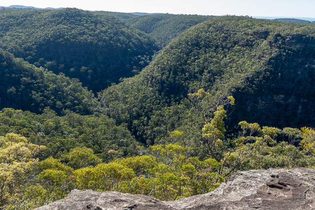
We were soon at the lookout at the end of the fire trail. We again admired the fine view. The cliff in the photo below is Lost World Lookout.
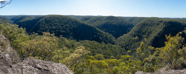
Here is a wider view –
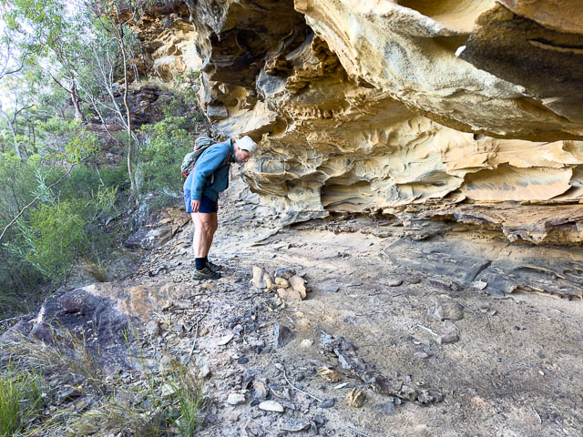
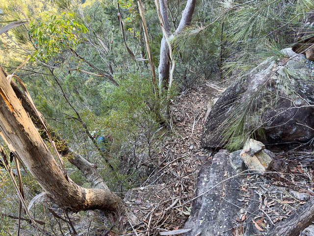
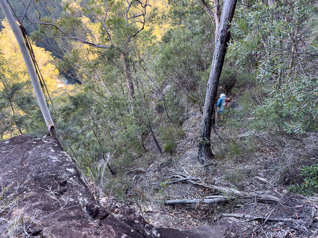
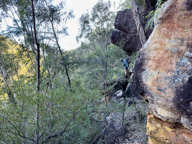
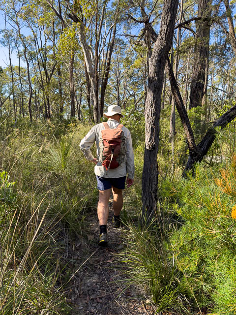
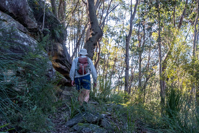
We then located and followed rough cairned route. it was probably not the correct way as it seemed to fade out. So we walked along a ledge and found a cave with an old fireplace, and eventually more cairns.
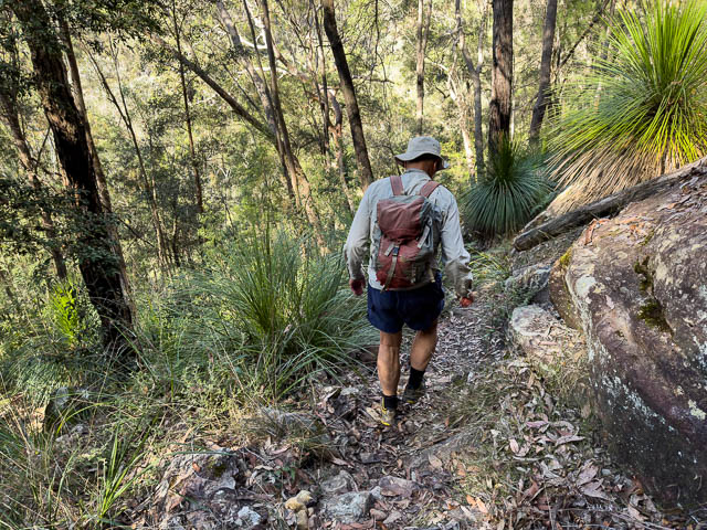
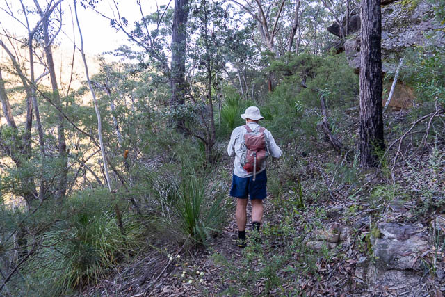
The route down is steep and rough. In a few places it involves scrambling down small cliffs. And it also involves a fair bit route finding – the cairns are not easy to spot in may places. We also had to traverse left and right as we decided to find the easiest way. It would not be a good choice for a large party as it is very easy to dislodge rocks as you descend.
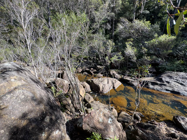
We reached Glenbrook Creek about 20 m downstream of the small tributary creek to the north.
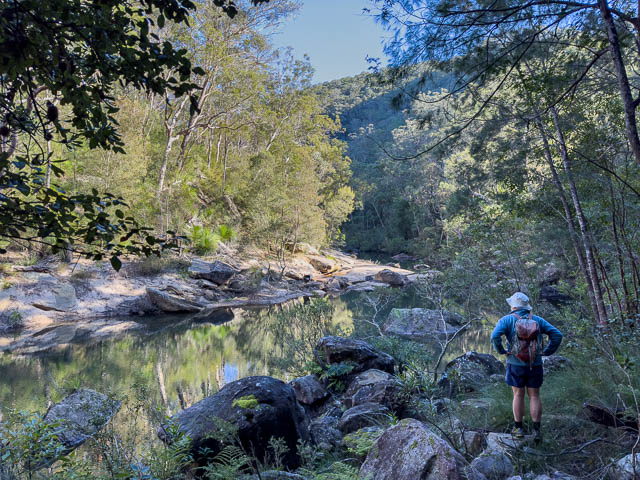
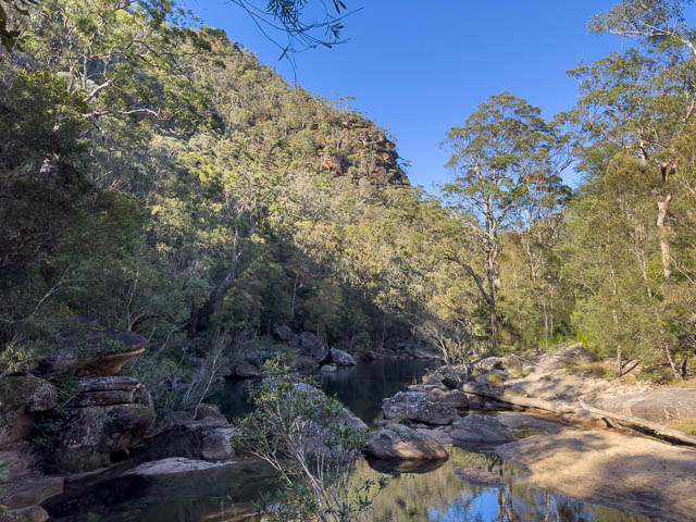
We then walked upstream – crossing the tributary, and soon after reaching Psalm Rock. Here a Bible passage has been chiselled onto a large rock surface. Bob and myself had visited this rock on an earlier walk.
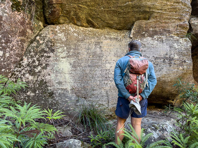
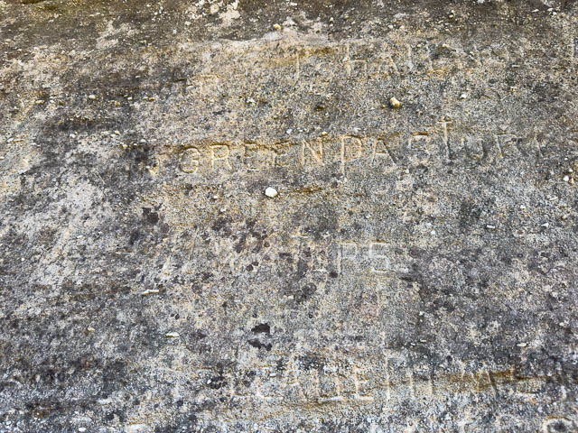
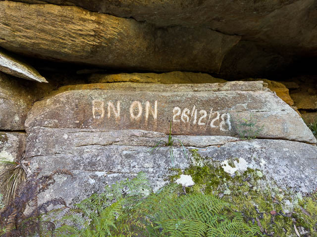
A little further upstream is some more historic graffiti –
We then set off up the Kings Link Track on the west side of Glenbrook Creek.

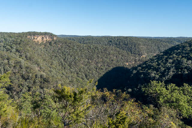
This took us to the Bunyan Lookout. This lookout is named after George Bunyan of Glenbrook, a bushwalker and founder of Glenbrook RFS.
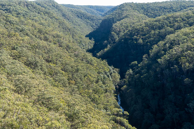
The lookout provided us with a good view of our pass down – on the flank of the sunny part of the ridge on the right side of the photo below.
Here is a Google Earth view showing our route down the pass – using Bob’s GPS trace.

Here is a panorama –
We then walked towards St Helena, but soon reached the turn off for the Bullant Track, which we followed.
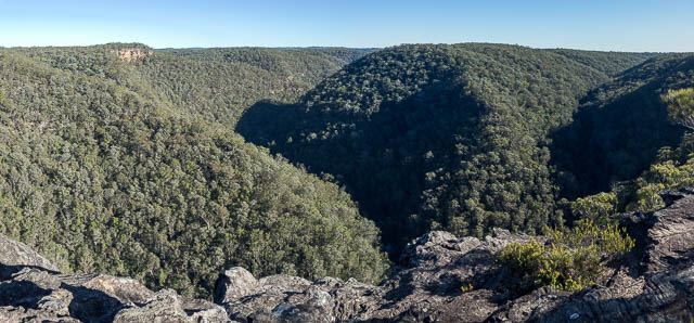
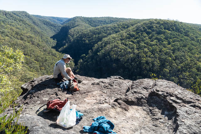
We stopped for lunch at Bullant Lookout – which is a short distance off the main track and provides an excellent view –
It was a good place to stop for lunch.
The descent off the end of the ridge is remarkably easy compared to the other routes in the area.
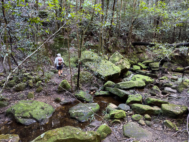
And we were soon down to Glenbrook Creek once again. The crossing was a bit tricky with very slippery boulders.
The Bullant Track links here with the Pippas Pass – Florabella Pass track system. We climbed up the steps to the main track and then headed towards Warrimoo.
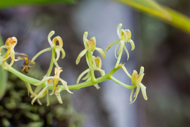
Yellow Rock Orchid – Cestichis reflexa –
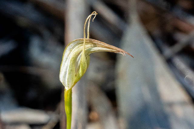
Greenhood Orchid – Pterostylis acuminata–
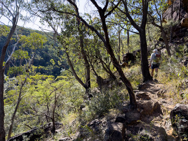
The track follows on a ledge above Florabella Creek, and then crosses the creek in a nice rainforest section.
Part way up the far side of Florabella Creek, we turned off and followed a track up to a side fire trail of Greens Road.
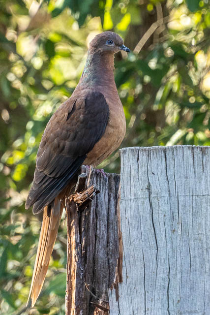
Back near Bob’s car – we saw this Brown Cuckoo-dove –
This had been a very pleasant walk. It was also good to finally do the pass.