On a recent rip to the Shellharbour area with Digi Dave, we had tried to drive out to Bass Point, but found the road closed. On that trip, we looked around for an alternative road, but could find none. Another friend however, have recently dived at Bass Point, so we knew that a new access road had been established. Like last time, we drove through the new town of Shell Cove, and this time Google Maps had a route we could follow to Bass Point.
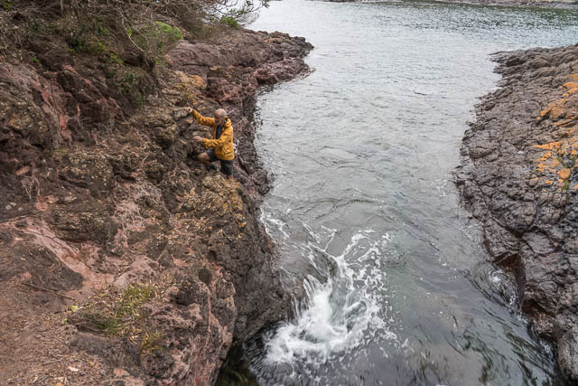
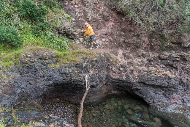
Digi Dave scrambling around to Bushrangers Bay
We stopped first at the viewing platform for Maloneys Bay.
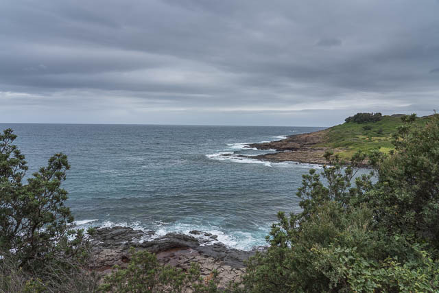
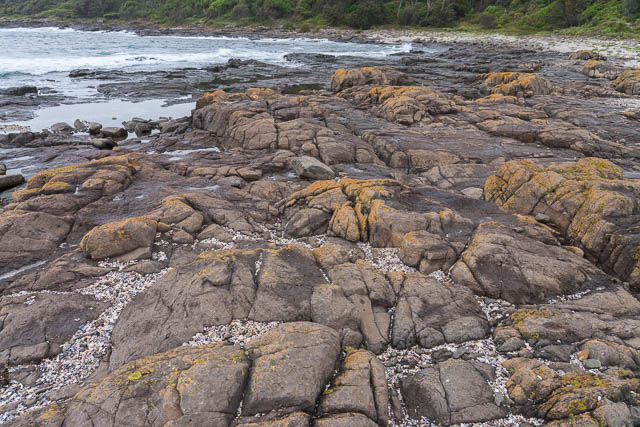
We then headed out to the picnic area, and went down to the rock platforms and the site of the wreck of the Cities Service Boston.
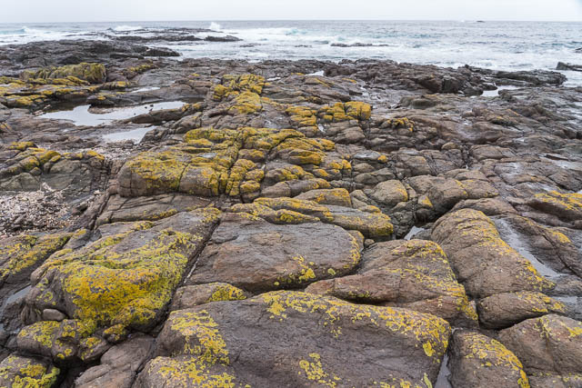
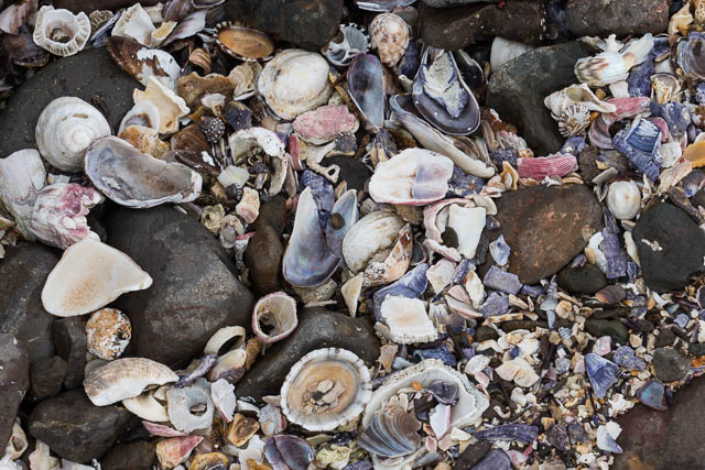
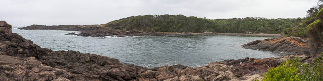
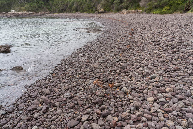
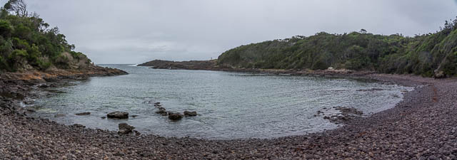
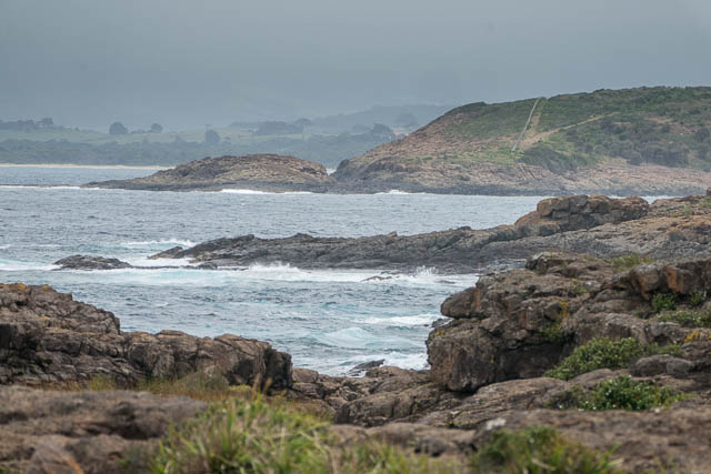
We walked around to Bushrangers Bay, and the right around the bay and found a track that took us back to the road. From there, it was a short walk back to the carpark. It had started raining lightly, so we found an undercover picnic table where we had lunch.
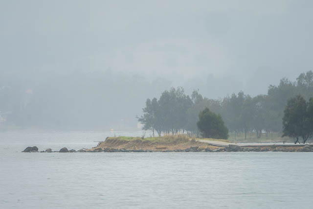
After that, we drove back to the Motorway, and continued to Dapto. We turned off on the old Princess Highway, and took a side road to Yallah Bay. This took us to the sit of the old Tallawarra Power Station. The power station has been pulled down, and replaced with a gas powered power station.
We walked to the end of a long breakwater. On one side was the outflow cooling water from the power station.
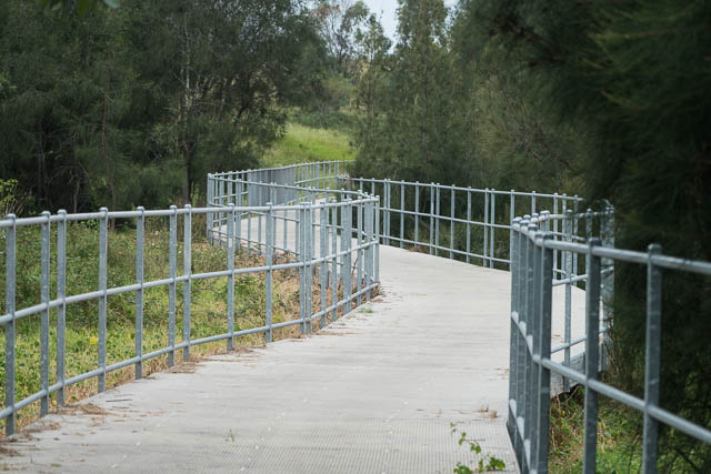
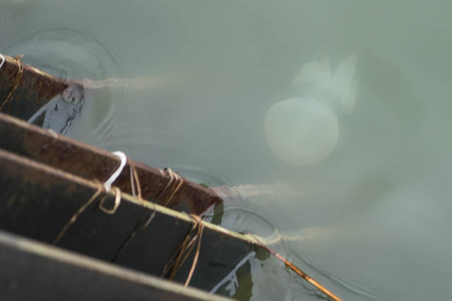
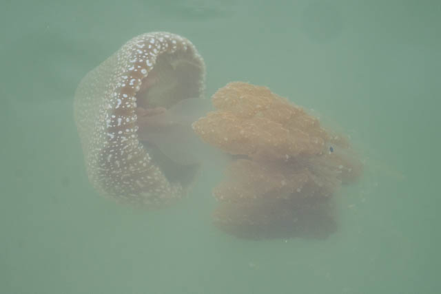
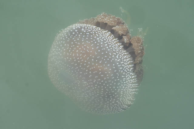
After returning to the carpark, we next walked along the lakeside cycleway. This took us through an old, and now closed caravan park. It was interesting watching lots of jellyfish being sucked into the cooling water intake for the power station. We wondered if they cause any problems?
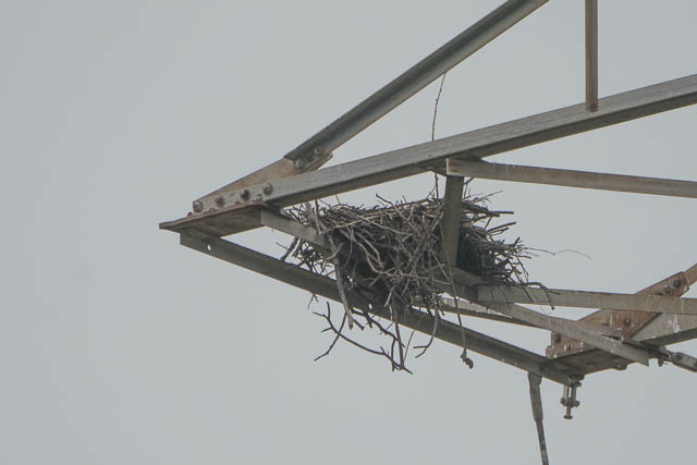
Further along the cycleway, we could see a large osprey nest in one of there transmission line towers. No birds were visible.