
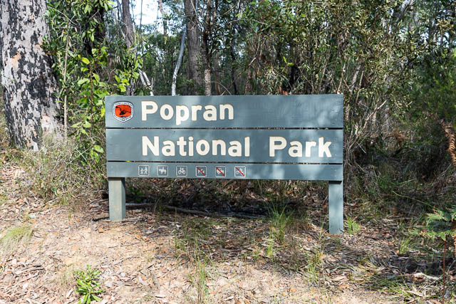
I had been on a previous trip to Popran National Park not long before and had been impressed with the area. That trip was with Bob, and we were both keen to visit the park again. One feature of Popran National Park is its high density of Aboriginal sites.
Bob had done some research and found there was an old track not marked on the maps that ran from the Hominy Creek Trail North to Ironbark Creek. This trail is continuation of the Mailmans Walking Track, that is marked on the maps, and runs south east of Mt Olive in Glenworth Valley. The western part of the track leaves the fire road before Donovans Forest and meets Ironbark Creek between Koala Gully and Ferny Gully.
Like the previous trip, Bob parked his car at the base of a steep and quite rough hill, and we walked to the picnic area at he park entrance, and then continued past the gate along the fire road.

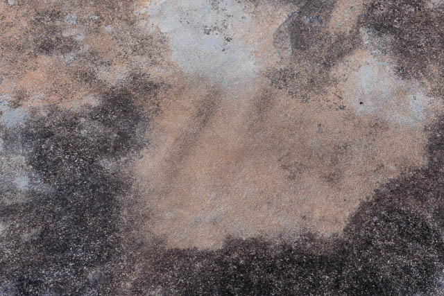
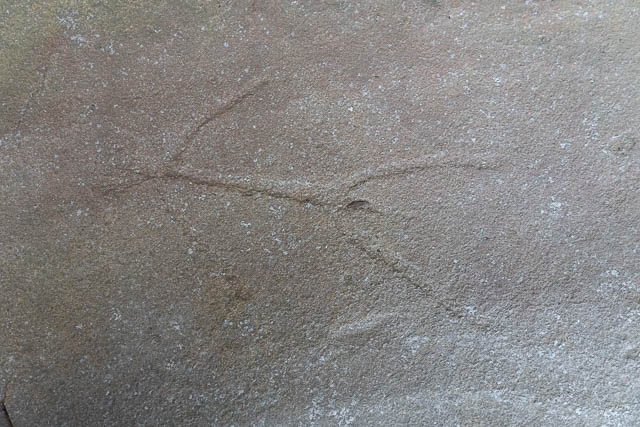
On the way we visited an interesting Aboriginal Art sit near the road. There was a large Kangaroo engraving and many sharpening grooves.

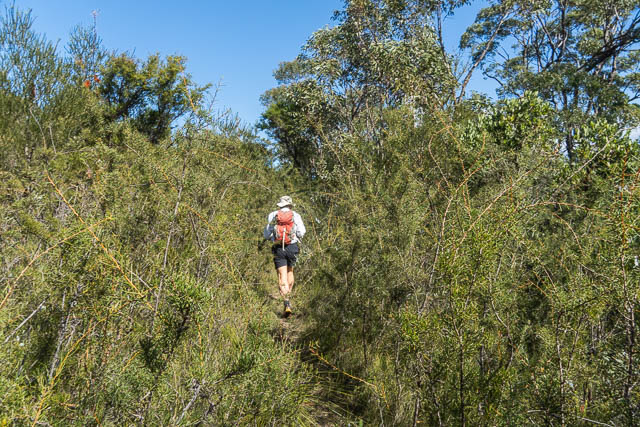
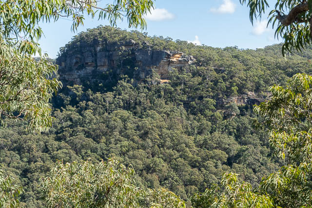
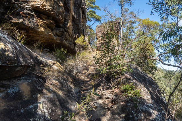
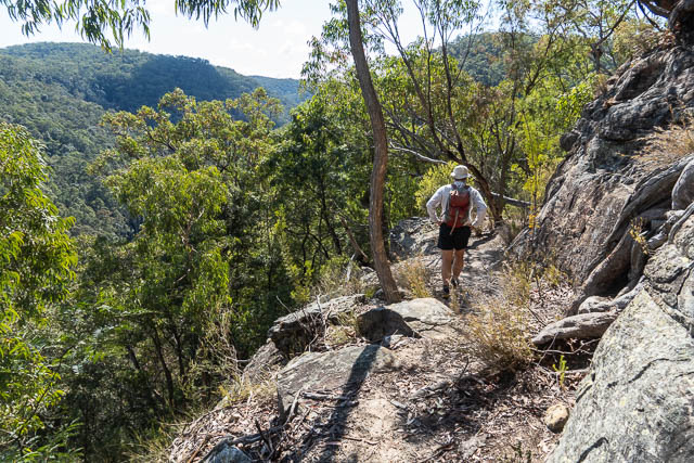
Further along we found the track we were after. The turn off was not marked and we had to carefully look out for it. The track is a bit overgrown, but relatively easy to follow. It passed through fairly thick heath and then started descending. This was where the track was really interesting. It chose a very easy way down through the cliffs and showed evidence that it was built up and benched in places – so probably used to take down pack horses. Perhaps carrying the mail? There were some nice view into the valley.


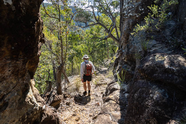
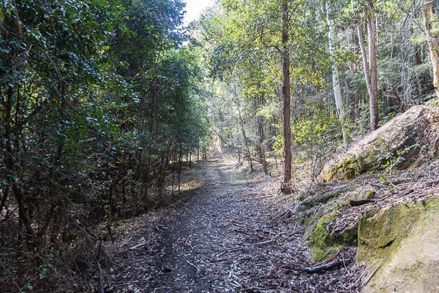
Lower down we left the track and walked directly down towards the creek. We reached it pretty close to where the farmland clearing ends. We found it easy walking – on an old road on the true right side of Ironbark Creek. This looks like it was once used for logging access. The valley was quite open under a rainforest canopy, and the road, although overgrown and indistinct in places made the walking easy and pleasant.
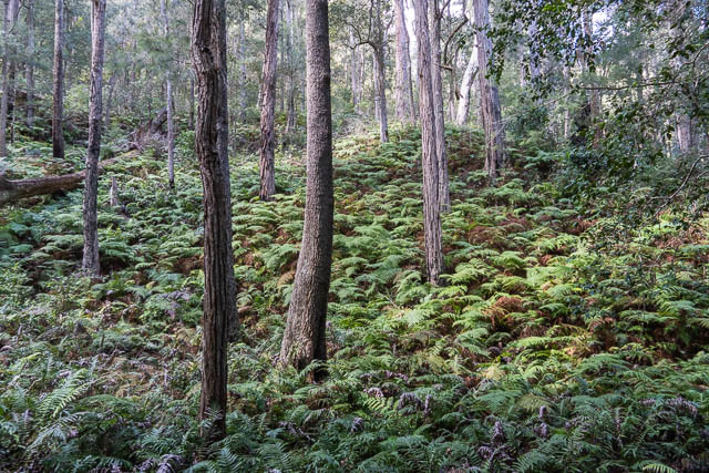
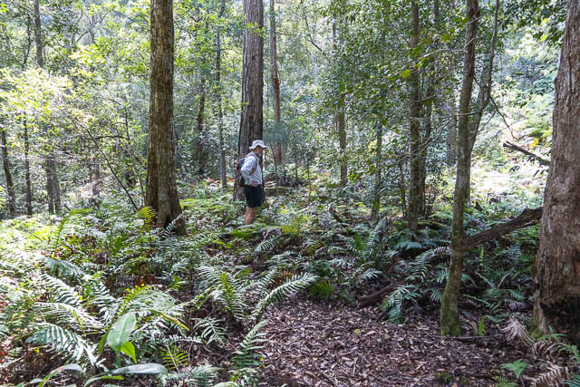
We followed the old road to a bit upstream of Red Belly Black Gully, but the walking above that was not too hard. In places we walked on the boulders near the creek, in other places on rock slabs, and also on the fairly open sides.


Further upstream, the Ironbark Trail crosses the creek, and that was where we planned to leave the creek. However , the trail at the crossing point is very indistinct and not obvious at all. And we missed it! We had however spotted overhead power lines, so we realised, when we checked the map, that we must have gone past it. We climbed out and soon reached the fire road.
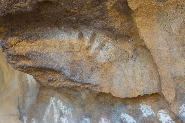
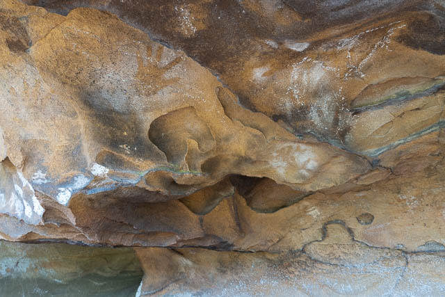
On the way out back to the main road, we diverted to visit an interesting Aboriginal Art site. This was a cave with a lot of hand stencils, drawn pictures and engraved pictures – of animals and humans.
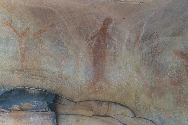
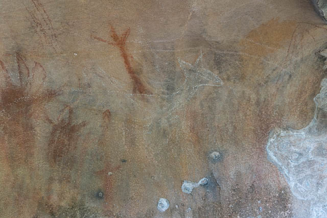

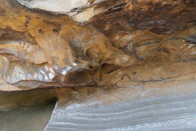


Above the cave, on a rock platform were sharpening grooves and a large engraving. We stopped here for lunch before returning to Bob’s car.


Hi David
Thanks for this excellent article. I am a fan of the Popran NP region. Living on the Cenral Coast I have quick access to the park.
At the end of July Small group of friends will retrace your walk with Bob (hopefully). We will walk the west Mailman’s and make our way to the Ironbark Creek and back to ironbark road.
Our starting point will be Darkinjung Road at Calga then into Glenworth Valley. Hopefully I will have permission by then to go through the private holding.
From Glenworth we will ascend the Mt Olive Trail using the Eastern Mailman’s Trail.
From there we will kick up the Western Mailman’s Trail and down you Ironbark Creek.
That’s the plan anyway.
I hope your walk goes well.
Have done the walk from mount olive down the western mailman track into the valley then followed the old logging road then further up iron bark creek the road in places is still visible with a keen eye as there are old retaining walls that again with keen eye can see the old formations and more old retaining walls that are still standing also noted the cleared pads on the eastern sides where it would be not natural for the hill to be like that so can only assume they were pads put in for the machinery and of which there were a few old formations of road going up to them but we actually left the gully to the right just b4 the power lines and went up the gully to come up right below the up side down cave. Really good adventure and only about half day.