
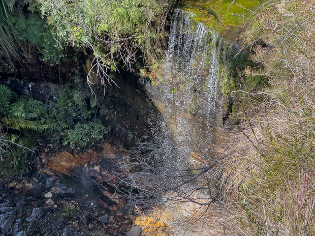
Ida Falls is a waterfall close to Lithgow, and is located near the old Zig Zag Railway. It is one place that I have never visited and been on my list of places to visit for a while (like Ahearn Lookout last week). I had suggested it to Bob for a walk venue a while back, and he suggested it for this weeks walk.
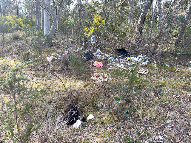
We travelled up to Bell and then headed out along the Chifley Road. Bob then parked near the top of Scenic Hill. This was the spot where we intend to be the end of the walk. It was not a pleasant place – with blackberries and plenty of dumped rubbish.
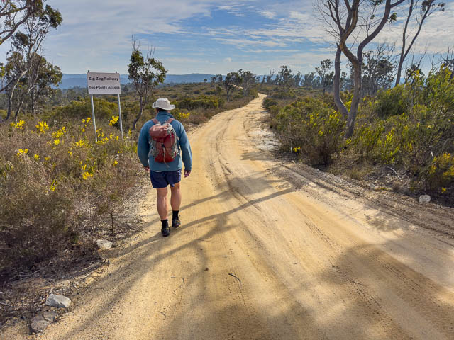
We walked back, east, along the Chifley Road to a fire road that goes out to a spot above the Zig Zag.
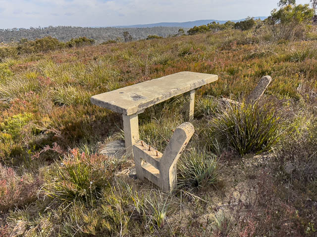
Along the way, we passed an old picnic area. This was one of many things constructed in World War II as a decoy, to lure any Japanese bombers that may have flown over to drop their bombs here rather than on the factories of Lithgow.


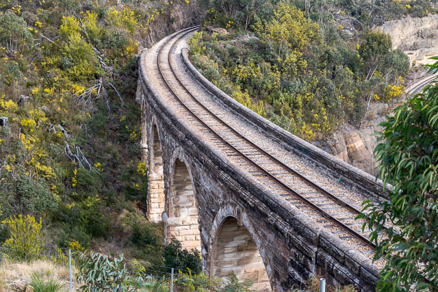
We deviated a bit to first visit a lookout above the Zig Zag. This provided excellent views of the viaducts.

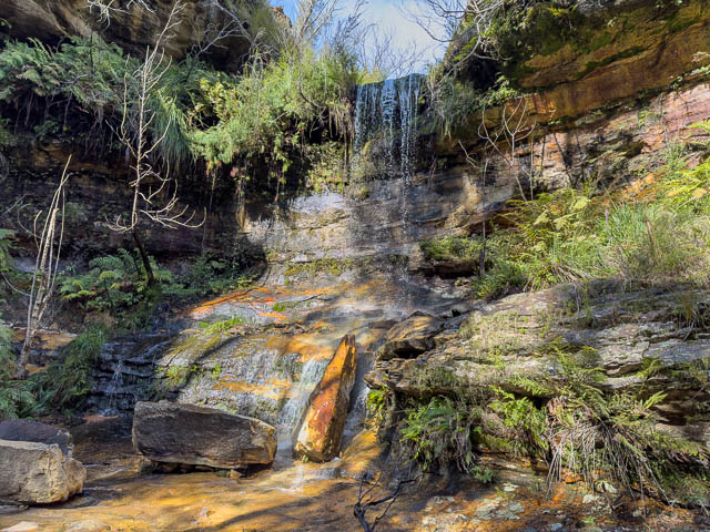
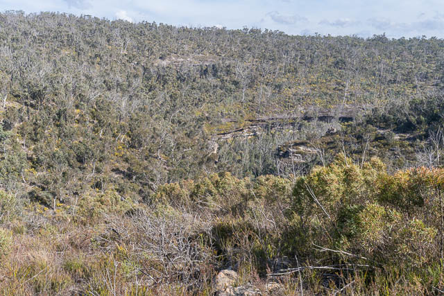
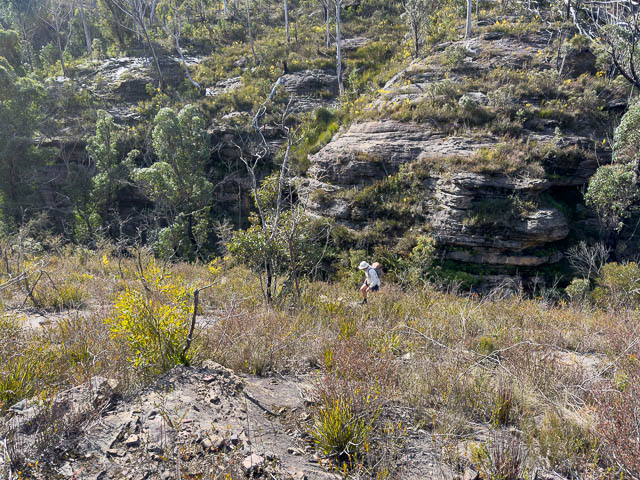
And next, we climbed back up, out to a point above Ida Falls. It was then a steep but easy descent to the creek just upstream of the falls.
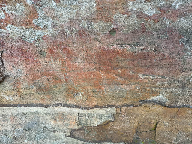
Above the falls is some historic graffiti –

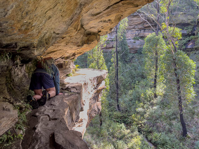
Bob found a ledge near the top of the falls that offered a reasonable way down. There was a small pool to negotiate however. I took off my shoes and socks for this.


Here is the ledge –

It was easy, but exposed.


At the end, it was an easy scramble down to the creek, and the access track that comes in from the bottom.
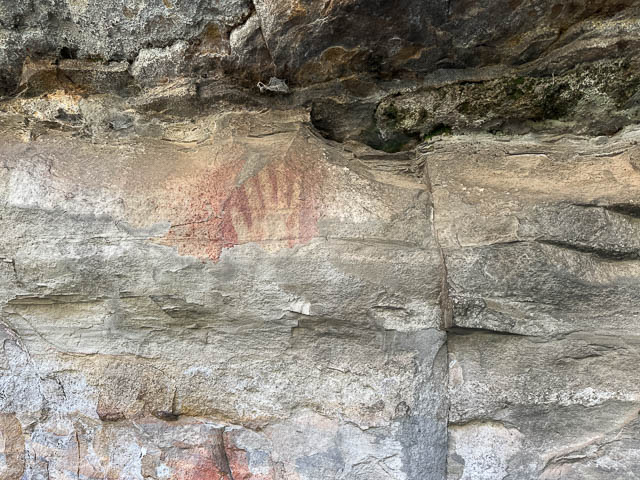
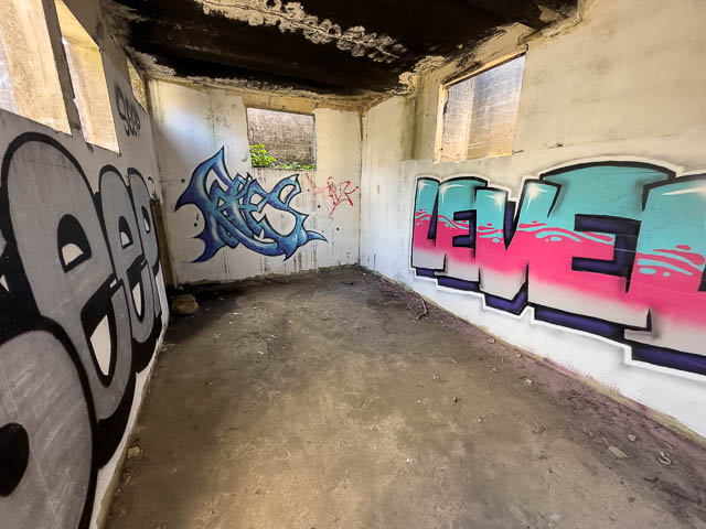
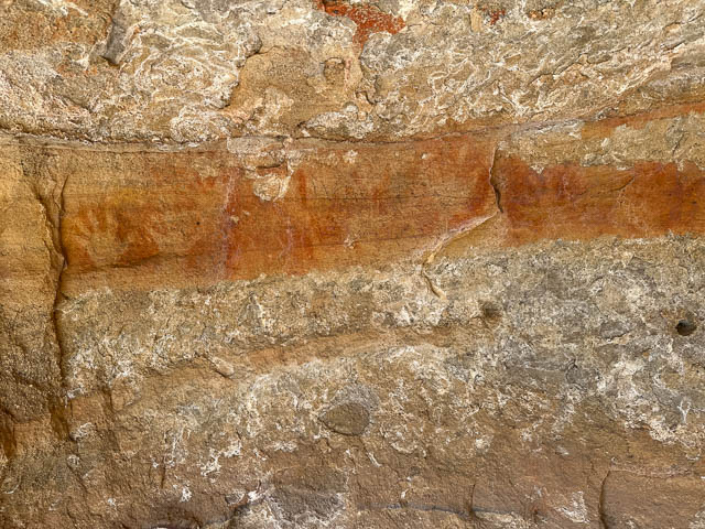
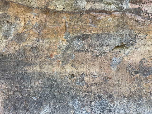
We then explored some of the overhangs near the waterfall. We found some old graffiti –


From the style of letters, this date would be 1893.
More graffiti –


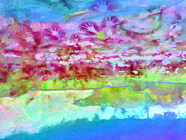
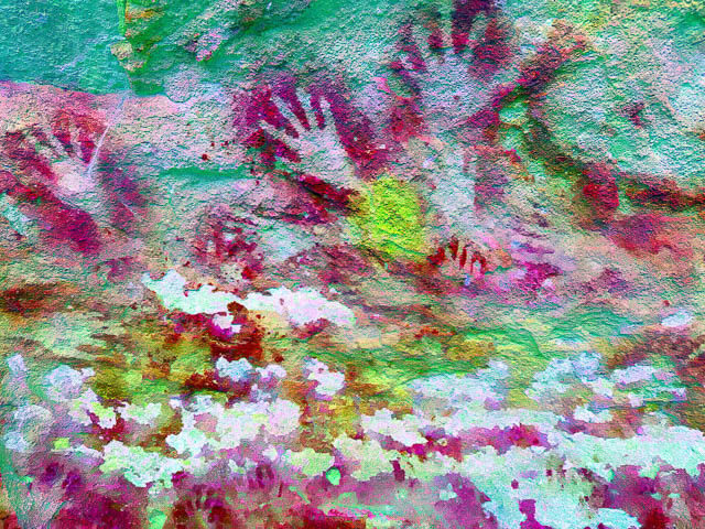
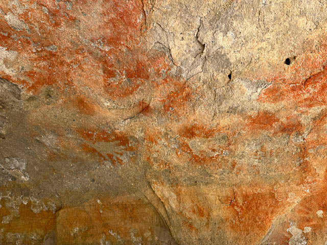
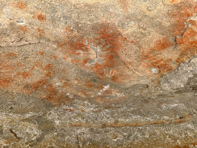
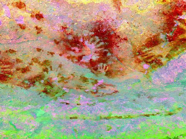
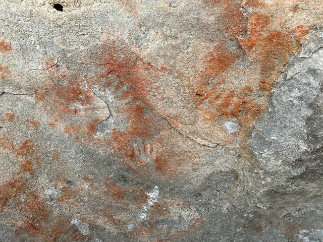
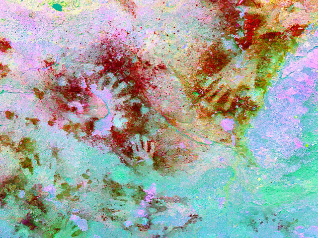
Further along the overhang, we found some Aboriginal hand stencils.
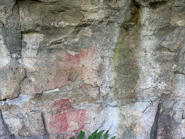


We found four stencils in total.
We then climbed back up and traversed the edge again to get back up the waterfall. We climbed up and found a nice sunny spot for lunch.
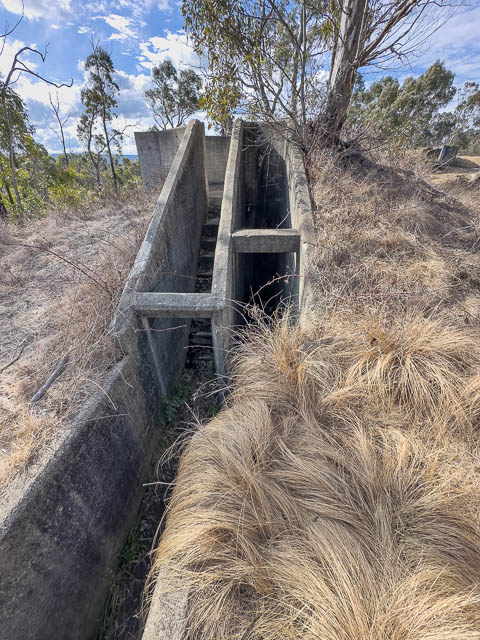
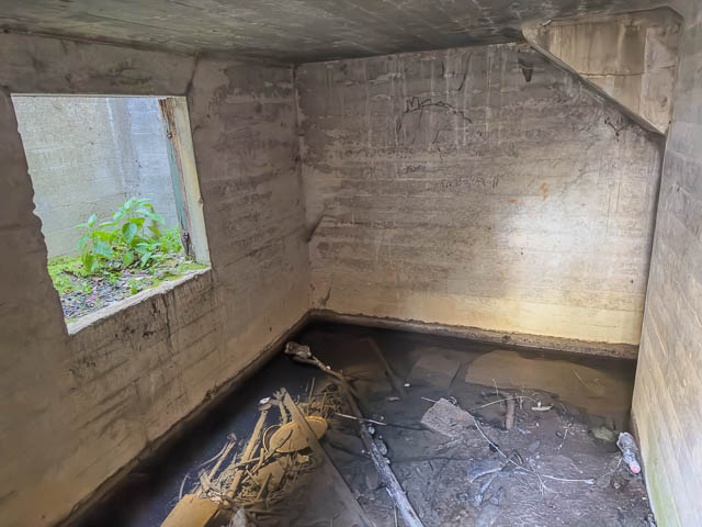
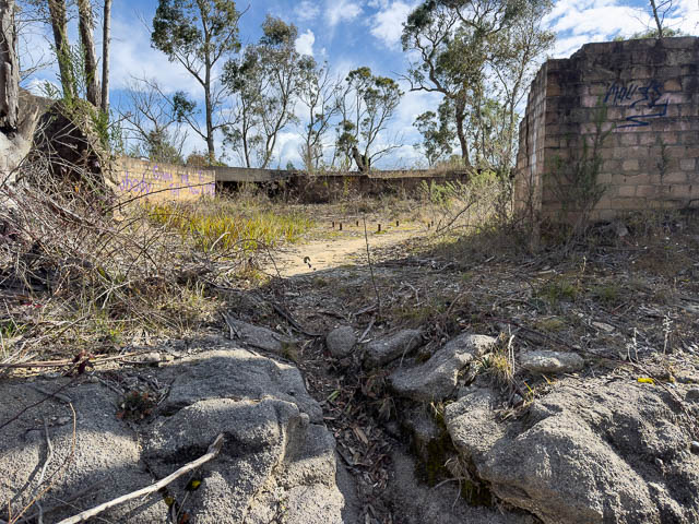
After a bit of traversing, we reached a fire road which we followed back towards the Chifley Road. Very close to the Chifley Road, we visited another historic spot – the site of World War II anti aircraft defences of Lithgow- the B Battery Clwydd. Note that “Clwydd”, a Lithgow Locality (the Vale of Clwydd) is a Welsh place name. It had been given that name by Governor Macquarie. It is pronounced “kloo-id).
The site contains two gun emplacements, and some dummy emplacements.
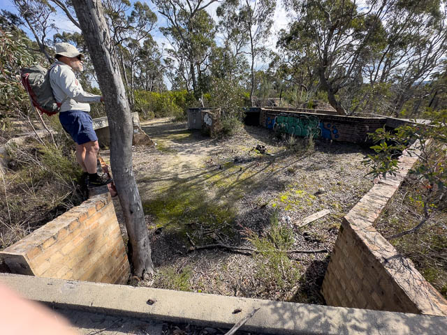

Near the emplacements are some concrete bunkers. Probably their command centre, and another higher place that would have been the location of the range finder and predictors.


The A Battery at Bowenfells is a located near Lithgow Hospital and well worth visiting. It has a lot of information and replacement guns. For m ore information see this site and also this one.
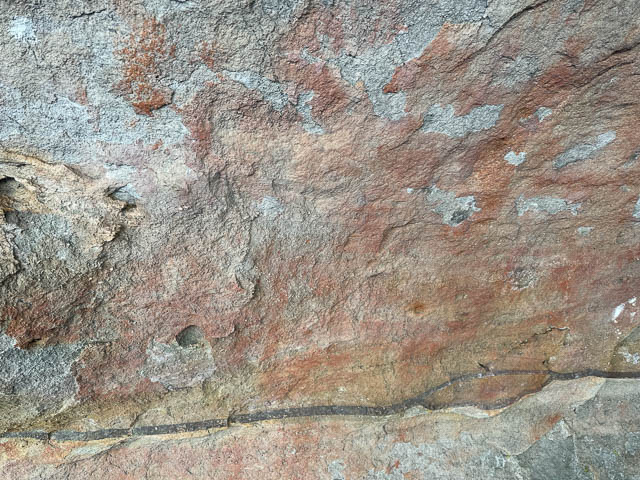
Being close to Clarence, we decided to visit an Aboriginal site. It is three sandstone caves that contain some amazing Aboriginal art.
The first cave –

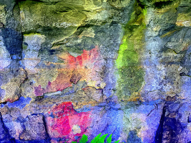
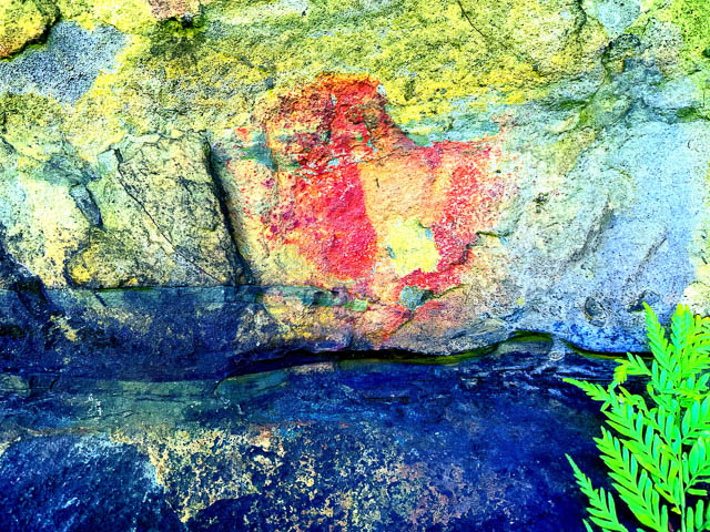
When we visited these caves earlier, I did not have the cave art enhancing software (iDStretch) on my phone. It revealed a lot of layers of many hand stencils –


Here is the first cave –
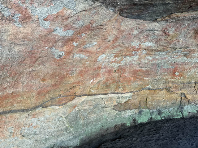
Now for some of the art in the second cave –


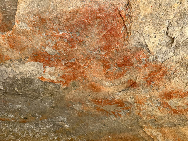


More art in the second cave –


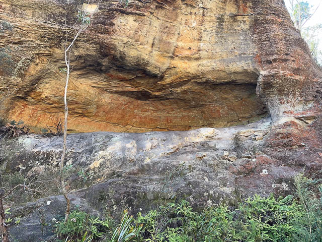
The third cave is a bit lower down and is much smaller –


And then we visited another historic horse trough near Bell. This was located on Watertrough Hill.

This trough has been gouged out of the sandstone at the location of a spring. The date carved at the base of the trough is 1894.

