
Another walk with Bob. This time we followed one of my suggestions. I had never been to the lower reaches of Erskine Creek – the so called “Platypus Loops” according to the Land’s Department Blue Labyrinth map of 1963. the plan was to walk down the Jack Evans Track to the saddle at the volcanic area just above the loop, then climb the small peak, which I call “Erskine Knob”, then, hopefully, traverse down the ridge from it to Erskine Creek. Then climb up to a vantage point I had spotted on air photos on the far side and then back down and follow Erskine Creek to the Nepean River junction. The last part would be to climb up to Nepean Lookout.
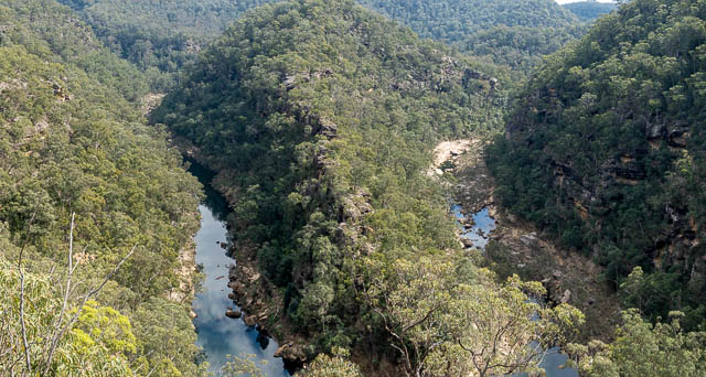
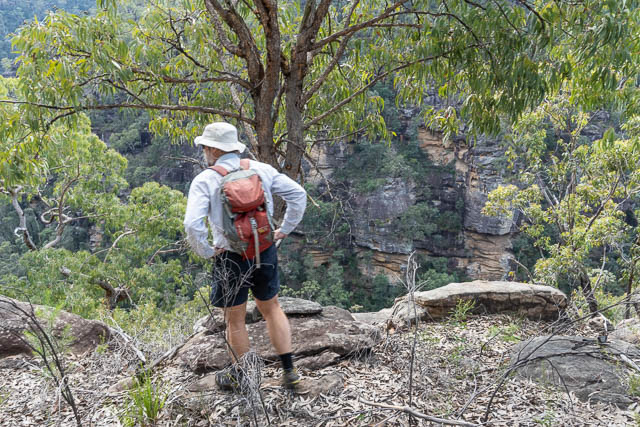
The plan worked out. We parked at the car park at the end of the fire trail and were soon walking down the Jack Evans Track. At the clifftop, we detoured short way to a fantastic lookout.
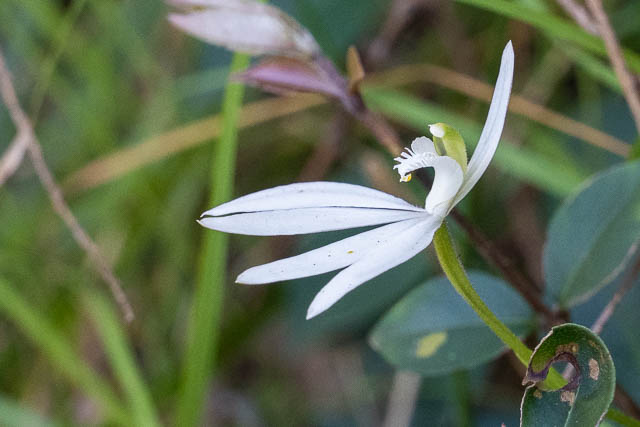
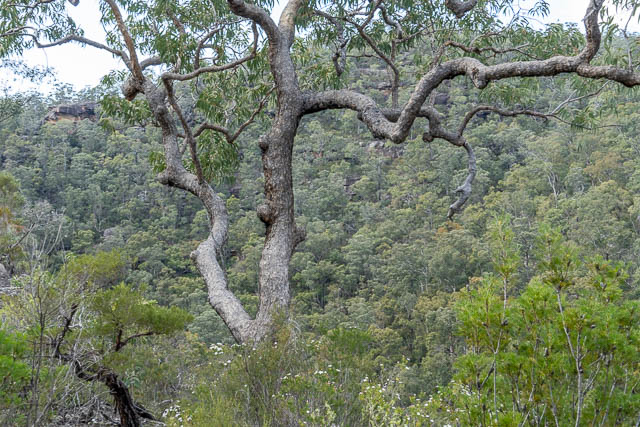
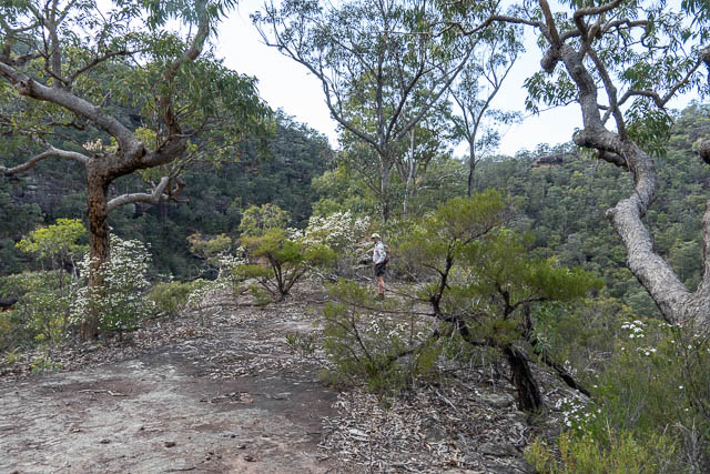
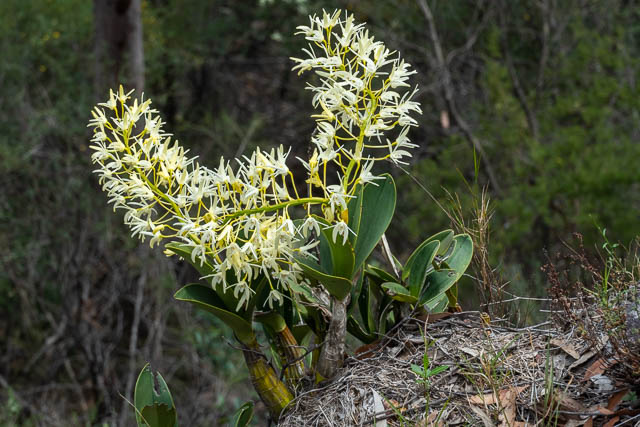
There were lots of nice wildflowers along the way, including some small orchids.
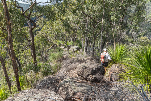
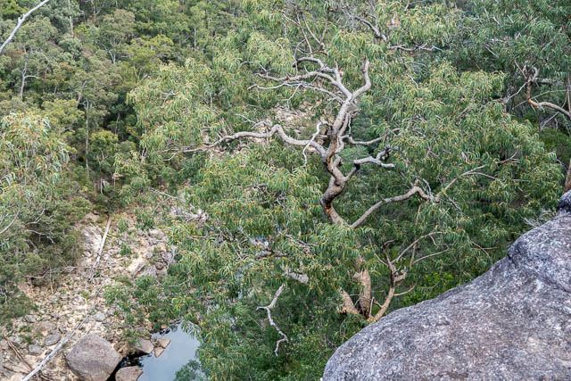
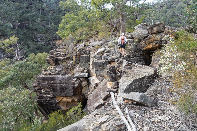
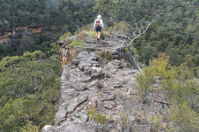
It was easy to head off track from the saddle and climb up to Erskine Knob. There were no good views from the top because of the scrub, but that changed as we descended down the ridge towards Erskine Creek.
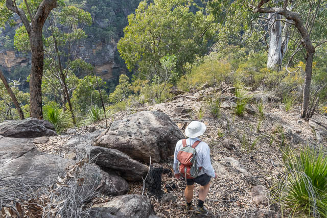
I had no knowledge that this ridge would be negotiable. It did go OK, but only just. We had do do some route-finding and scrambling as we descended. One steep section was a bit exposed and dangerous in two places. A short rope would have been handy.
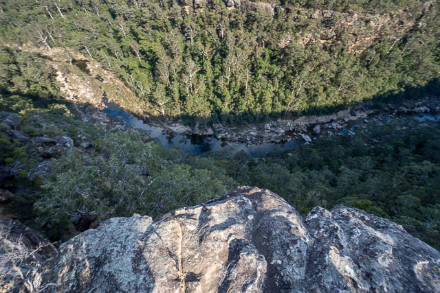
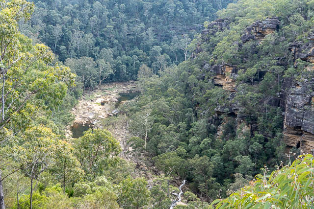
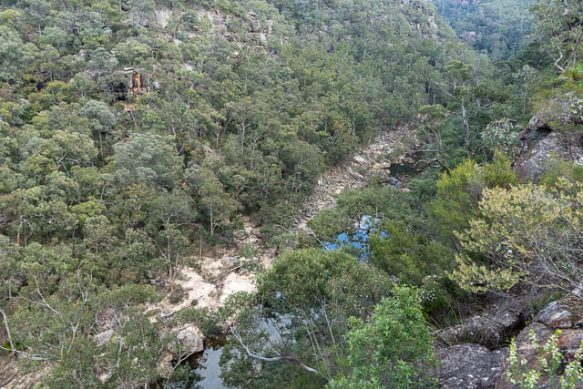
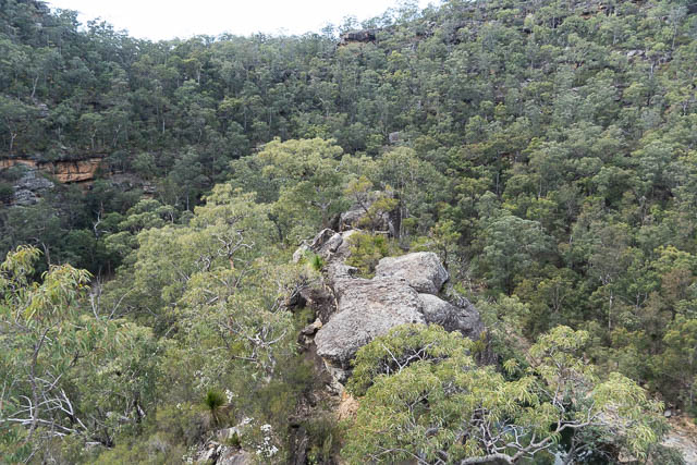
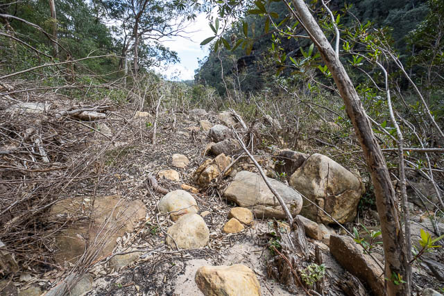
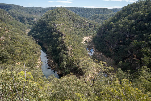
Here, we can look down into Erskine Creek and see the creebed scoured out by flood earlier in the year.
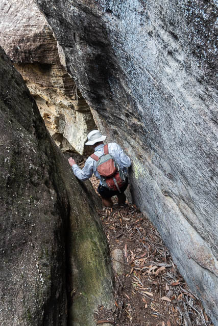
This was the tricky section. We could not get down off the end, and ended up scrambling down on the left side after back-tracking a bit.
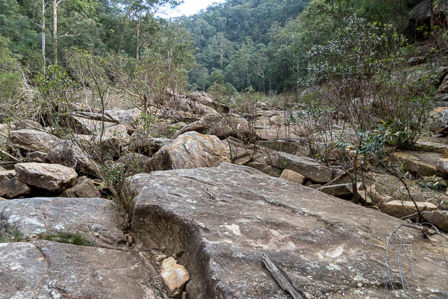
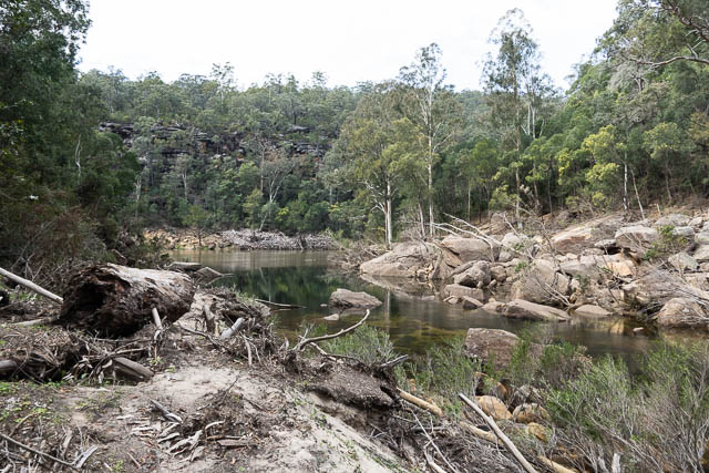
Once down, we were amazed at the flood damage.
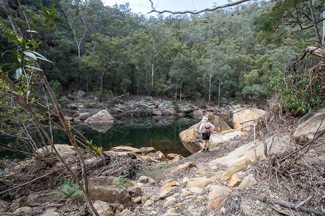
We crossed at some rapids and then headed a short way upstream. The pool in the photo below is called the “Duck Pool” on the old map.
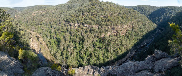
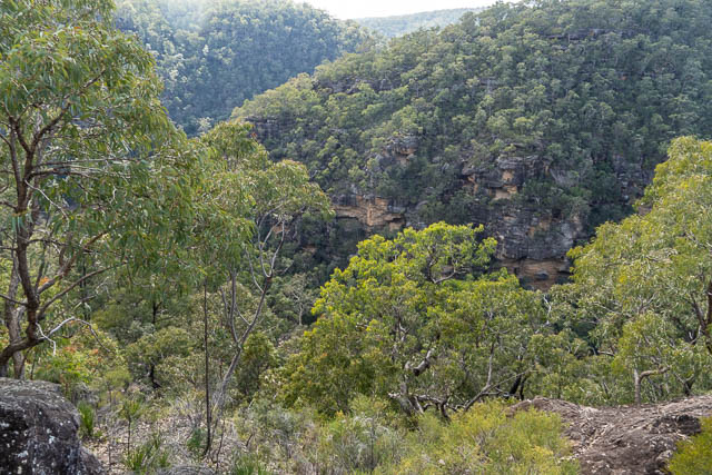
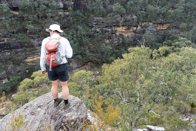
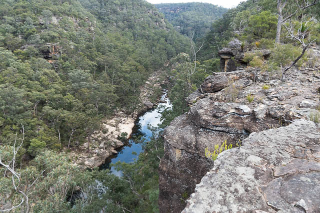
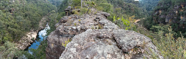
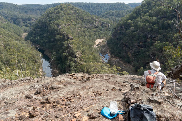
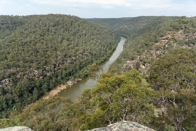
From our descent ridge, we had seen that it looked likely that we could scramble up to a good viewpoint above this pool. This turned out to be the case. It was a relatively easy climb, and a very worthwhile one. The view was excellent.
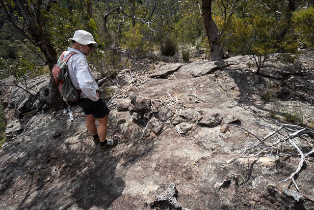
We found an old survey line here.
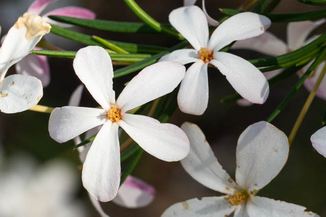
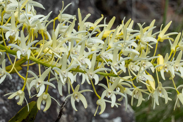
On the way back down to Erskine Creek we spotted this nice rock orchid in full flower –
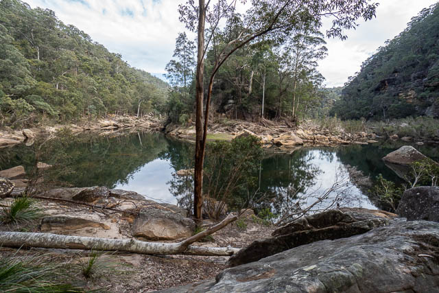
Back at Erskine Creek, we made our way downstream. We followed the true right bank nearly all the way. It was mainly easy going in the scoured out creekbed.
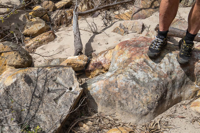
Not far around the big bend, and in the last straight section, we came across this very old looking survey mark. It was perhaps exposed by the flood.
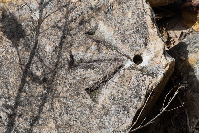
Bruce Cameron, who is the author of the excellent History of the Blue Labyrinth Book, sent me an old map, and it shows an old survey line that passed through our lookout and here. Bruce says “Possibly part of the 1897 survey works by Scrivener? Looks the same as the engraving at the mouth of Erskine Creek. See p.175 of the Blue Labyrinth book. He was surveying the reserve on the western bank of the river. The early Penrith topo map shows that faint survey lines. The more recent maps do not show the survey.”
A little further downstream, we crossed over and had lunch. From there it was a short walk to the Nepean junction.
It was a relatively easy scramble/walk up the ridge to the Nepean Lookout. Bob had been up this way years before, so we knew it would not be too hard.
Then a last photo at the lookout before walking back to Bob’s car. This was a very nice walk.