
Keith had invited me to join him on a weekend walk in the Gardens of Stone State Conservation Area. His intention was to do a through trip involving a car shuffle. This would allow us to see a lot of country.
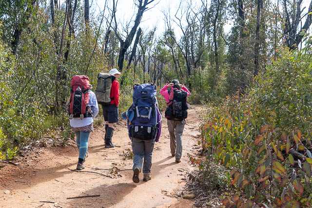
On the walk as well as Keith, were Wendy, Beth, Kirsten and myself. We parked Wendy’s car on the Wolgan Road, near the Angus Place Colliery and then drove back to Lithgow in Keith’s car, and continued up the State Mine Gully and parked near the top. From there, we started walking along a fire road towards the Lost City.
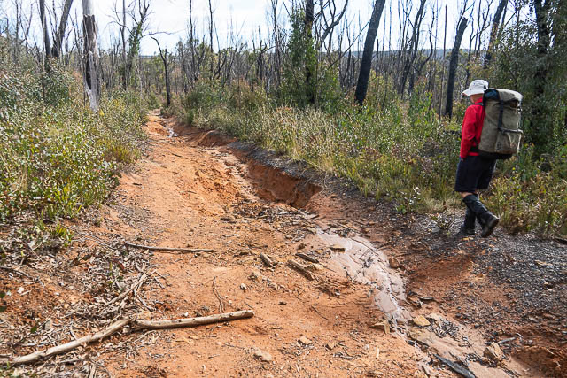
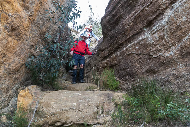
Our road was very eroded in places –
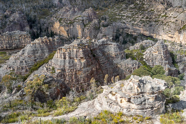
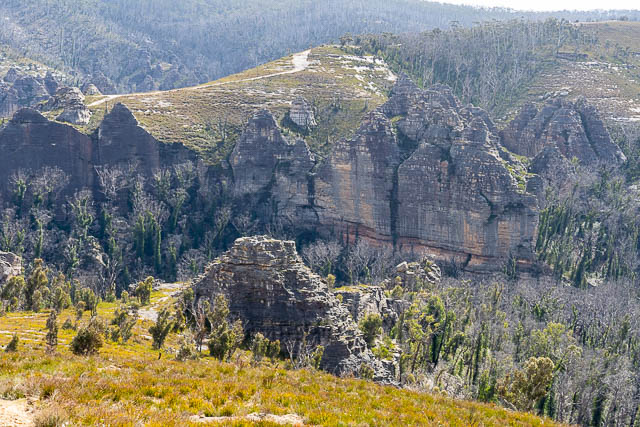
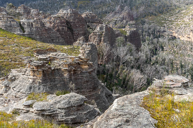
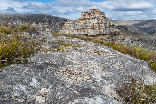
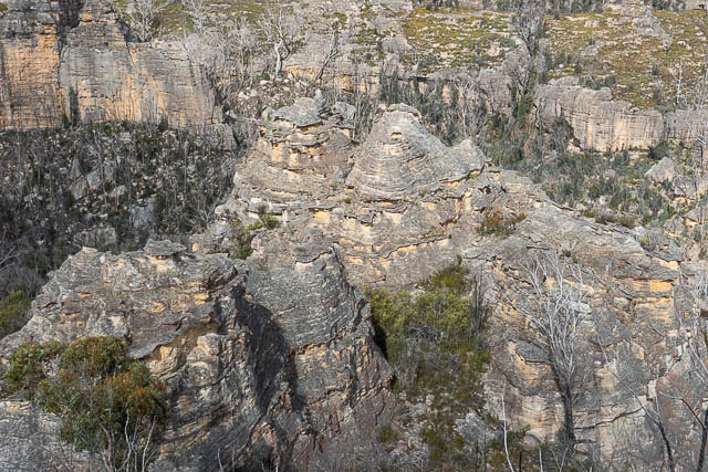
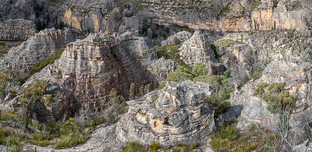
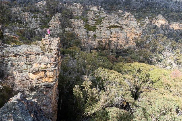
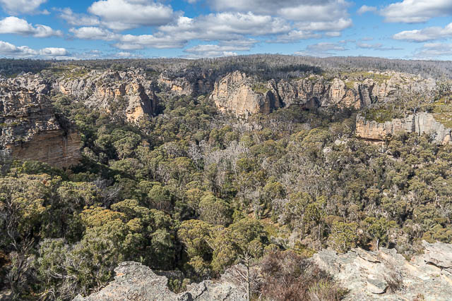
It did not take very long to start getting some amazing views. We were looking at the Lost City – a set of Pagodas above Marrangaroo Creek.
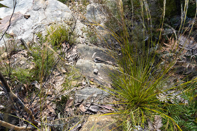
We followed the fire road until it ended, and then we walked down towards the creek.
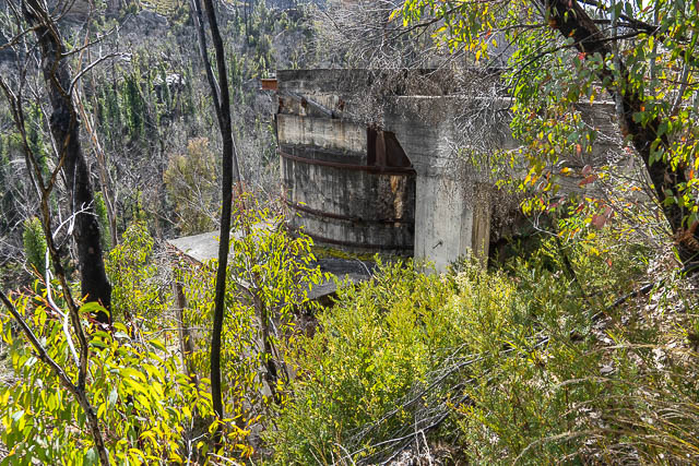
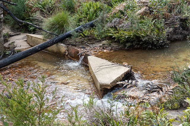
Looking down we could see some old concrete structures. And we found remnants of an old track that descended towards these structures. There were also some concrete blocks nearby – probably used to hold the supports for a flying fox down to the structures. The flying fox would have been used to take in building materials and the track used by workers.
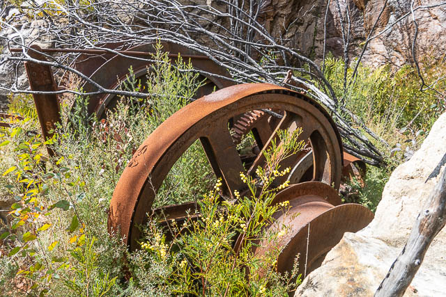
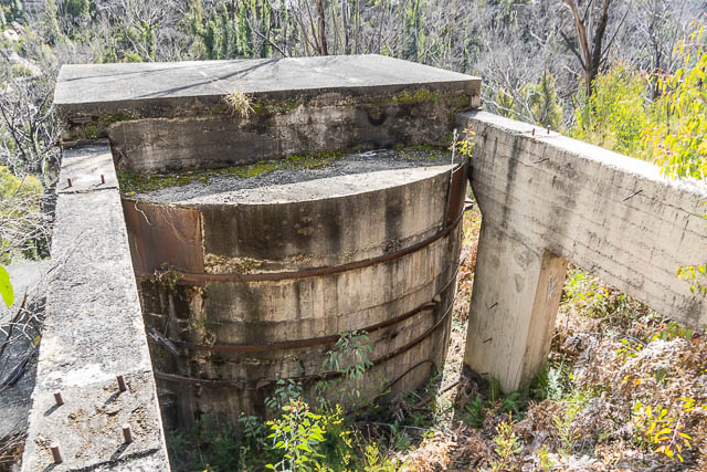
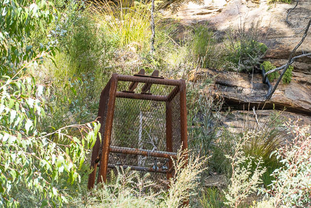
It was not clear what the structures were for. Probably something to do with the old State Gully Coal Mine. There was a round concrete building and near it were some large cogs and large pulley wheels.
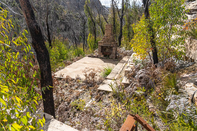
Nearby was the ruin of a building with a fire place.
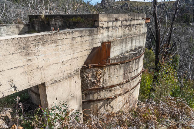
According to the Bush Explorers, the structure is the remains of the State Mine Airshaft. It was constructed in 1940/41 and used for air, water, power and access.
As well as underground coal mining, there is also a series of old dams nearby in the headwaters of Marrangaroo Creek .
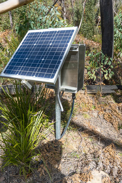
We left the ruin, and scrambled down a steep bank to Marrangaroo Creek. At the creek we found a much more modern structure. My friend Roger tells me it is a Piezometer, used for measuring water levels in aquifers.
Looking back up, about 100 m from the ruin, we could see what looked like a mine lift cage.
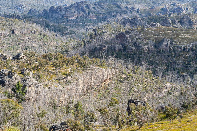
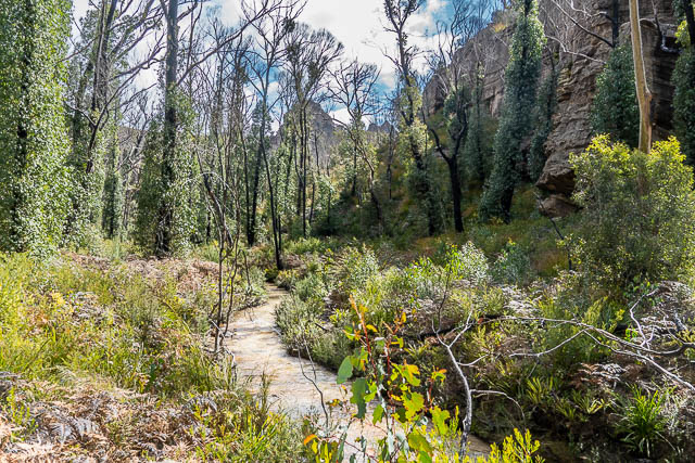
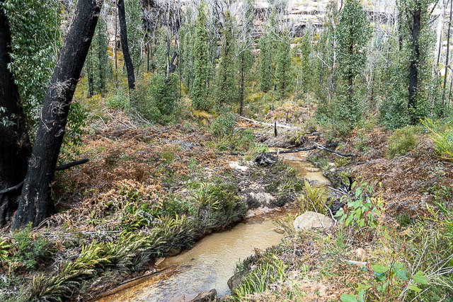
We then continued down Marrangaroo Creek. This was not too difficult – we followed the remnants of an old road. But the road was very overgrown and washed out in many places, but easier going than not following it. We crossed the stream quite a few times.
At one place, Keith pointed out an old stream gauge –
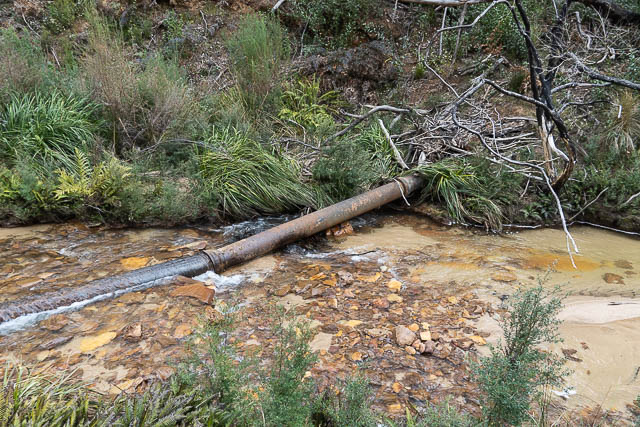
There was also the remains of an old pipeline – used to take water from the upstream dams to the old township of Marrangaroo.
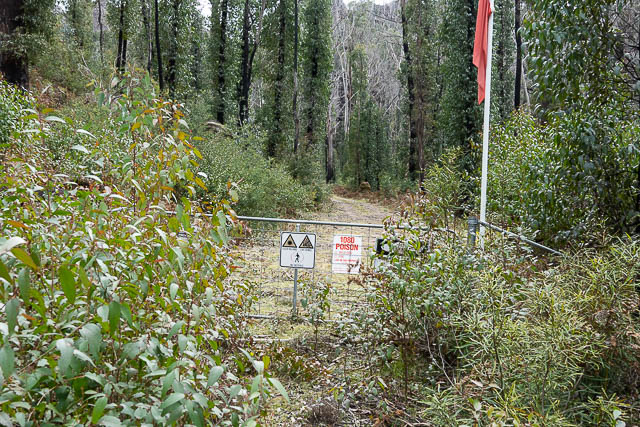
As we continued on our way, we found ourselves suddenly stopped by a gate with many signs and a red flag. We knew there was an army base lower down Marrangaroo Creek, but this gate was inside the State Conservation Area. So perhaps it is land leased to the Federal Government for military purposes?
The signs indicated we could not continue, so we had to walk around this area.
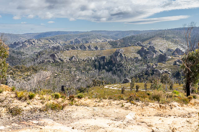
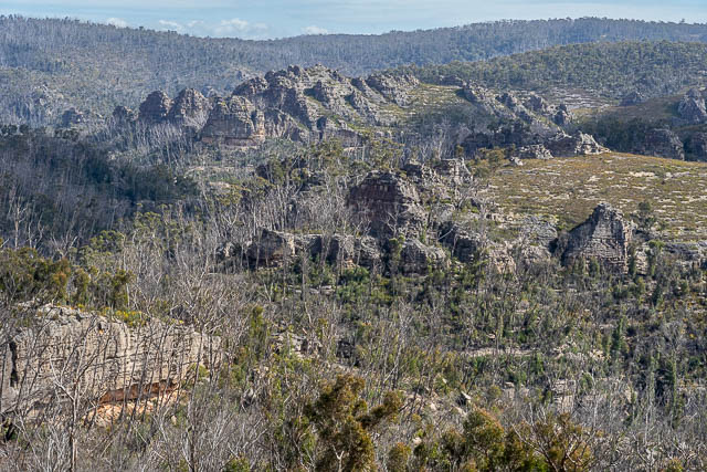
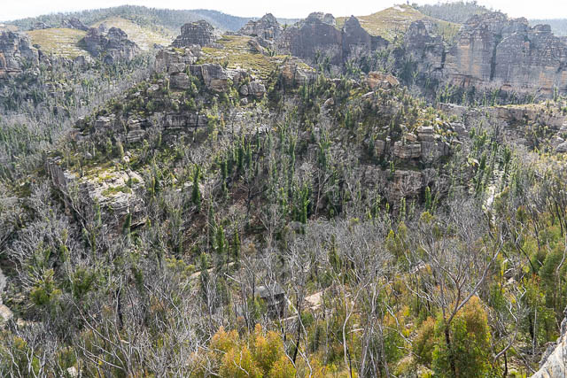
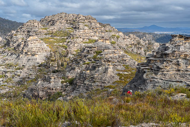
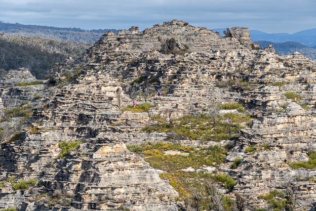
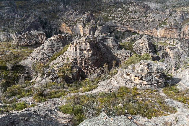
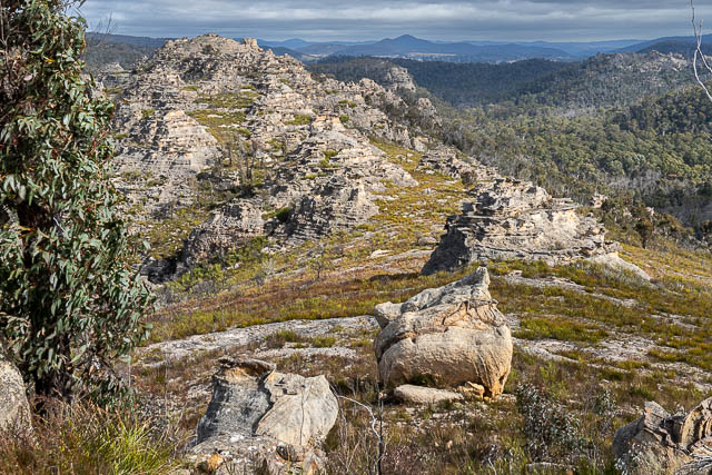
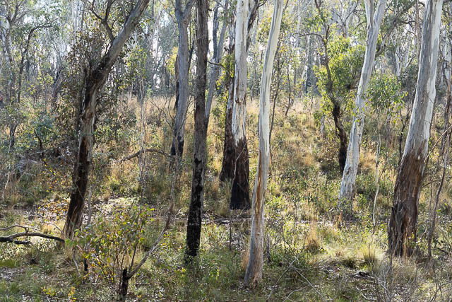
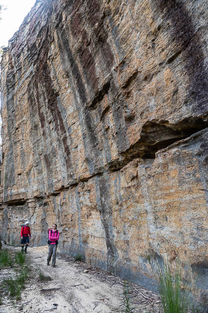
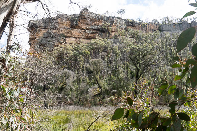
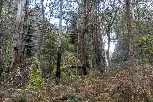
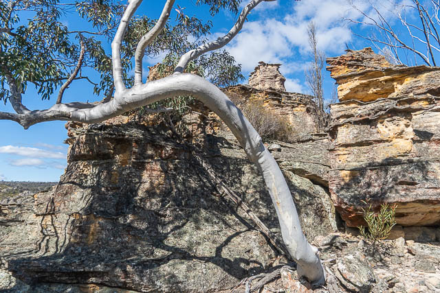
We climbed up onto a ridge to the north and found ourselves in pagodas.
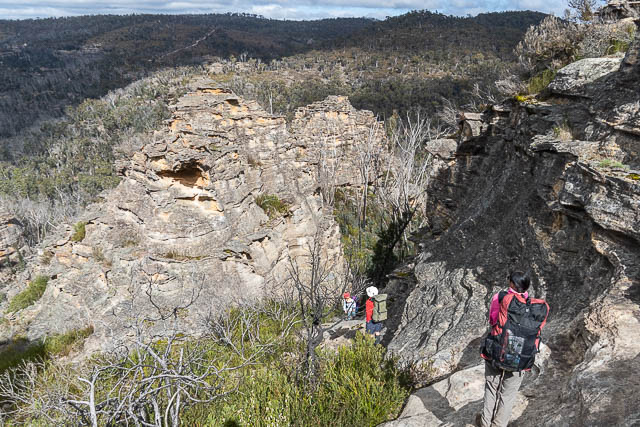
This was a great area, with views in many directions.
We followed the open ridge to a woodland area, and then followed a fire road to the north west. This led to the Beecroft Firetrail, which we followed for short distance and then we walked down to the headwaters of Kangaroo Creek.
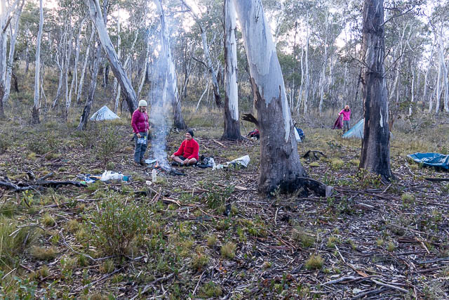
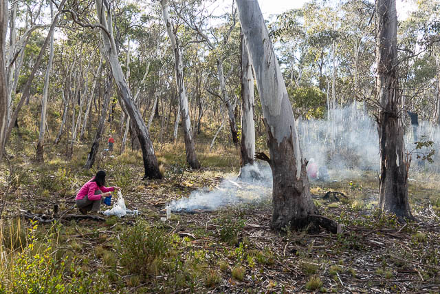
Early on, the creekbed was not very distinct, so not promising to find water. But a little further along we found large pools and a great campsite nearby.
The weather was quite cold, but here we were out of the wind and could warm up around a nice fire. Light rain started just after we finished cooking our dinners, so we all had an early night.
The next morning was fine, with little wind.
We continued downstream, following near the creek and then headed up through regrowth to the Angus Place Trail.
We followed the trail for a while, then turned off and followed a side trail and a trail bike trail to the tops above Kangaroo Creek.
Nearby was an easy pass, that Keith had used before on an earlier trip.
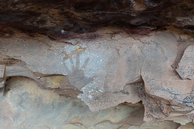
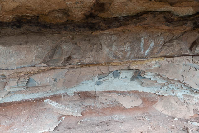
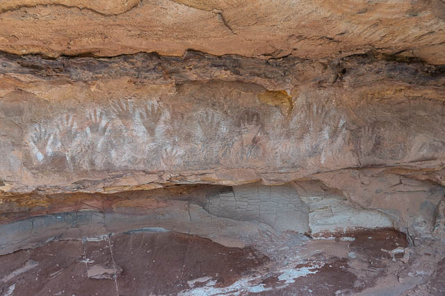
On the way, we visited an Aboriginal Art Cave. This was one some of us had seen on an earlier trip. It features a lot of hand stencils – both in white and red ochre.
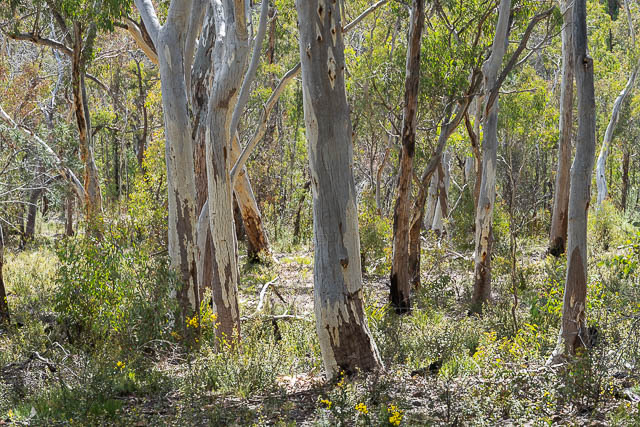
We then made our way through open woodland.
The creek here was swampy.
We then left the creek and climbed out a pass to the north.
We stopped off at a great lookout, where we had lunch.
After lunch, we kept following our ridge towards the Wolgan Road, Near the end, we found an easy way down through cliffs to more open woodland. From there it was easy walking back to the Wolgan Road and Wendy’s car.
This was a most interesting walk in amazing country. The Gardens of Stone is a most remarkable place. Many thanks to Keith for organising the walk.
WRT the 1940/1 structure – the road up there locally, is always referred to as The Drift.
I note that this walk forms part of the https://www.gardensofstone.org.au/epic-newnes-plateau-circuit-walk-4-6-days
I’ve been a bit concerned about the proposed route for reasons I’ve spelled out that I’d like to send to you for comment if you can provide an email.
I note the mention of the red flags on Marrangaroo Creek and am concerned about the proposed approach to the red flags and gate near the creek. If you send me and email I’ll forward my concerns. I’ve tried to contact Keith Muir in relation to this route but have some concerns
My email is on the “About” panel.