Bob had been keen on a walk to Wentworth Cave on the Grose River for a while, and had worked out a route from the north. This part of the larger Grose Wilderness has the name “The Devils Wilderness”, and that is appropriate as it is wild and rugged. Not easy country.
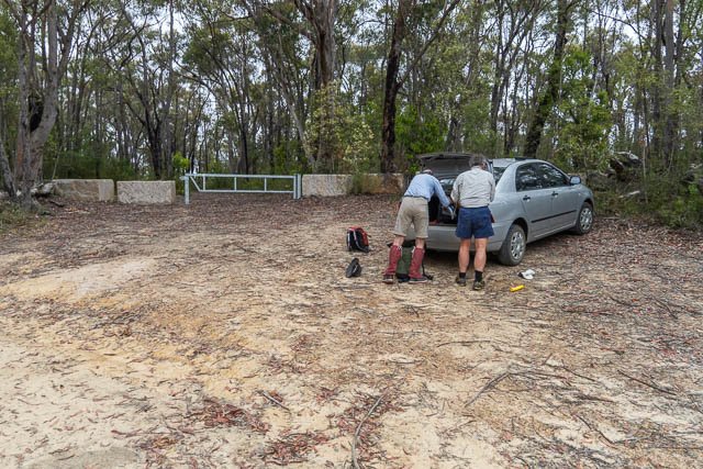
Doug joined us on the walk, and we all travelled out along the Paterson Range in Bob’s car. We parked where the road descends down to Burralow Swamp. A branch of the fire road continues along the ridge, but is blocked by a barrier.
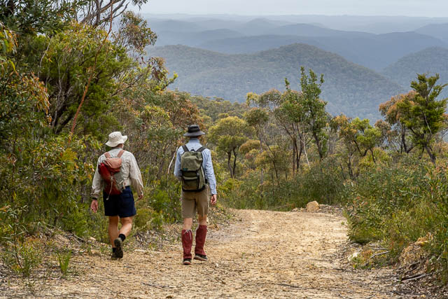
We set off walking along the fire road. I was on the lookout for orchids, but only spotted one. A Horned Orchid – Orthoceras strictum –
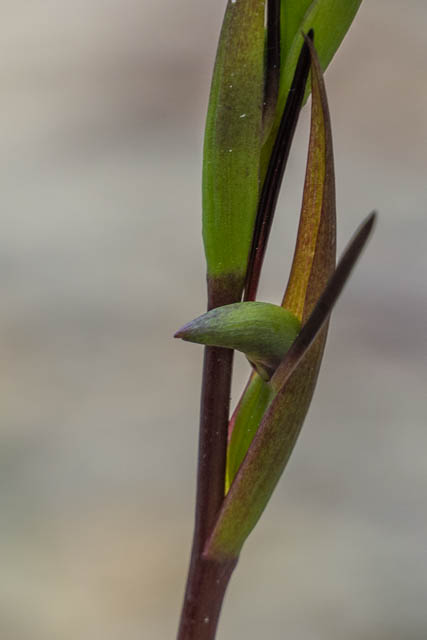
And here is a Variable Sword Grass Brown –

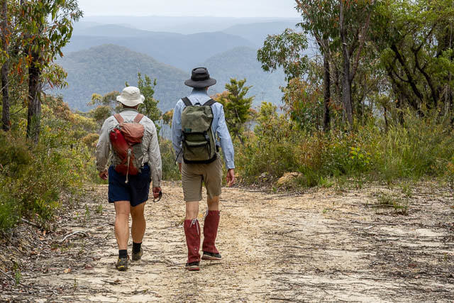
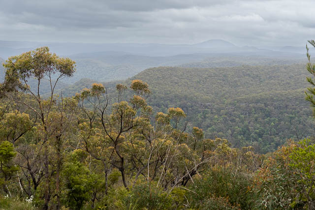

We soon reached the end of the fire road. Here there are filtered views of the Grose Valley.

In the photo below – you can see the junction of Wentworth Creek and the Grose River, where our destination, the Wentworth Cave is located.
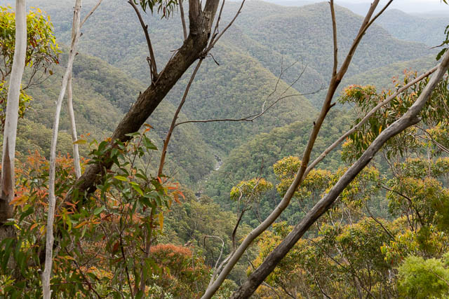
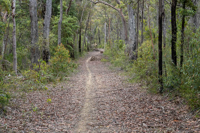
We then followed a very rough and indistinct track, know as the Donna Track. At first it goes down the nose of the ridge towards the junction of two creeks.
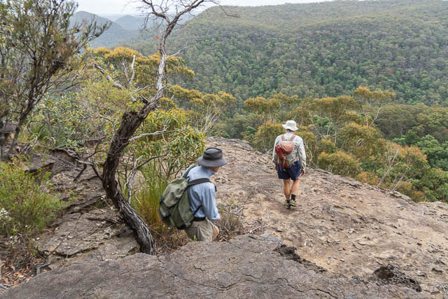
The track was marked by the occasional duck.
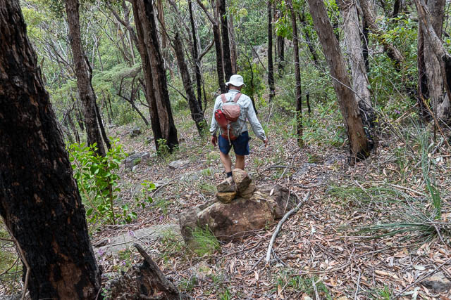
Lower down, in much steeper country, we lost the track for a while. We descended down into the right hand creek and followed it down, at time scrambling high on the true left bank. Near to the junction with the left hand creek, we saw small piece of pink tape – indicating we were probably on the “track” again.
At the junction with the second creek, the going became a bit tricky. We found an easy scramble down a waterfall at the junction.
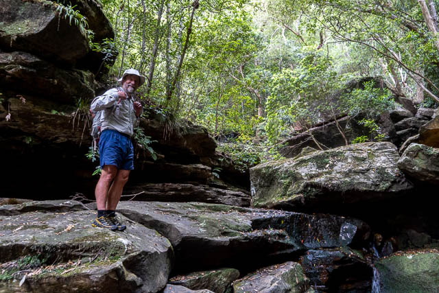
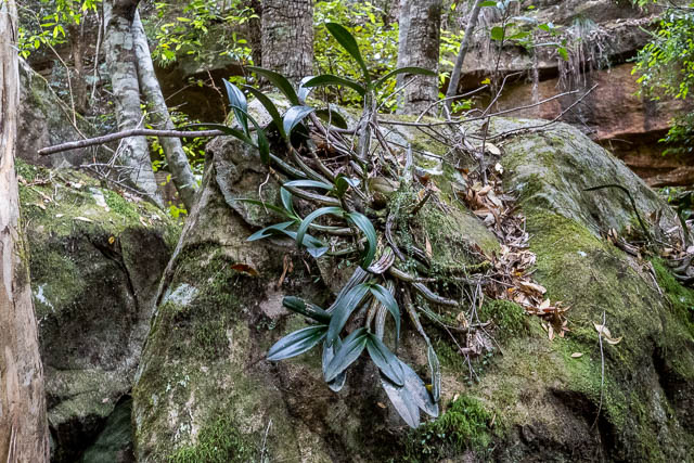
There were some nice rock orchids here.
Then we followed the creekbed down.
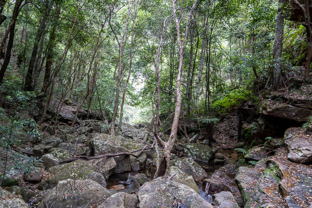
As it came steeper at one section, we scrambled around on the true left, and lower down spotted an old tatty rope hanging down a steep bank. We descend there, and then soon after we reached the Grose River.
The going along our side was very slow, so we soon crossed, planning to follow the Engineers Track.
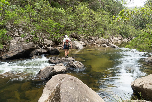
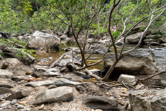
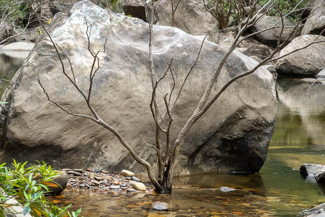
We soon found the historic Engineers Track, and it was fast going. Not long after we found ourselves in the Wentworth Cave.

This was a good place to stop for lunch.
On a boulder in the cave, Bob spotted some old chiselled inscriptions. The top one appears to be “A J Stratton”. Joe Stratton (1884 – 1962) was a resident of Springwood, and lived on Grose Road near the Quarry. His chiselled inscriptions can be found in a wide range of caves in the greater Springwood area. He must have explored a lot of the area.
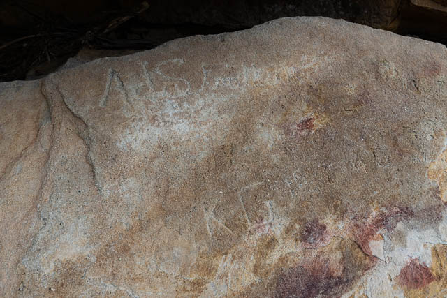
The lower inscription seems to be “K G” and some more letters and numbers? Perhaps a date – 1940’s perhaps?
There is also some painted inscriptions –
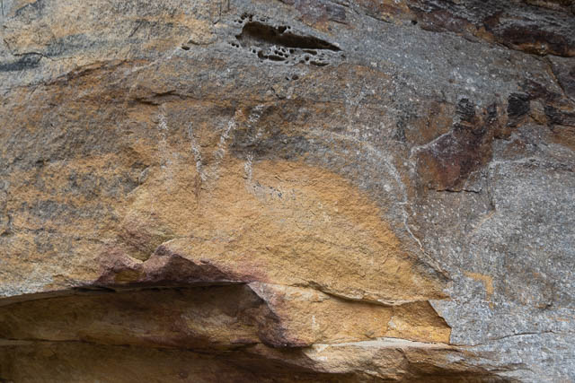
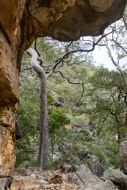
I had visited this cave once before, on an epic weekend walk, with Stephen Bray and Rob Hynes, back in the 1990’s, where we walked from Leura to Faulconbridge via the Hay Range.
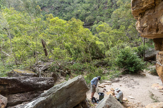
We then set off back up the Engineers Track.
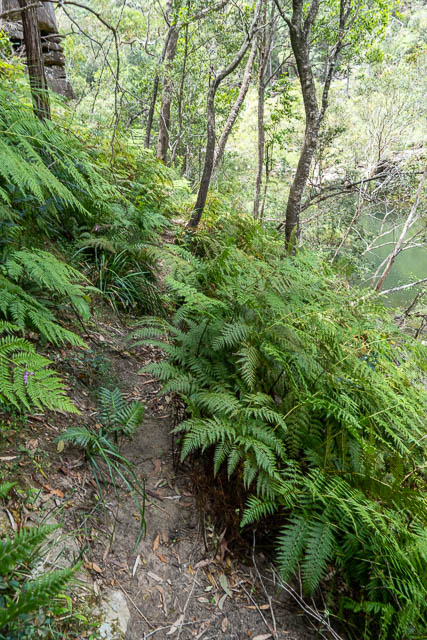

The Engineers Track is still in very good conditions along this section of the Grose River. It was constructed by sappers back in 1859 – 60 to survey a possible railway route over the Blue Mountains. The track was constructed all the way to the Darling Causeway. On an Easter Walk back in 2015, we followed sections of the track downstream from Blue Gum Forest – but much of it was very overgrown, covered in fallen boulders or destroyed by landslides.
A lot of the hills near where we were were named after the sappers and railway engineers – Whitton, Martindale, Quodling and Barton. Andy Macqueen’s “Back from the Brink” has a whole chapter on this railway survey track.
Another interesting person who has a hill named after him in the area was Macleod Morgan. Harold Arthur Macleod Morgan, 1914 – 64, was a former president of the Royal Australian Historical Society. I think Mt Morgan, on the Wolgan-Capertee Divide is also named after him. I can remember a conversation with Myles Dunphy, where he recalled a conversation he had with Macleod Morgan about the name “Wollemi”. Macleod Morgan must have been responsible for naming Wollemi Creek. According to Dunphy, Macleod Morgan pronounced it the way the local landholders had learnt from Aboriginals – “Wool ee me” rather than “Wal em i”. A tribute to him, by Ian Jack, can be found here.
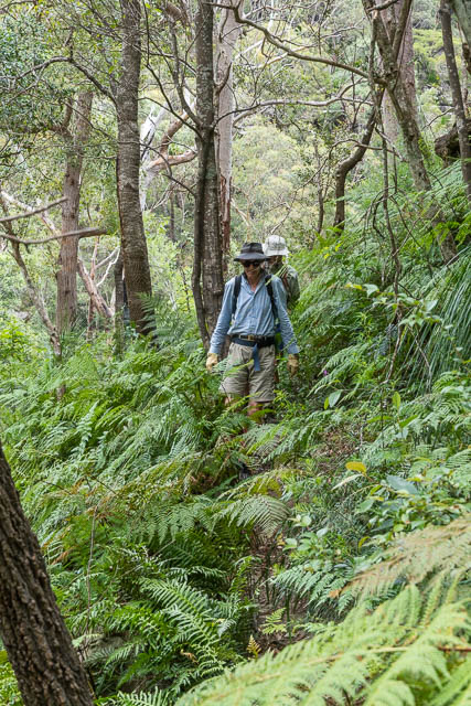
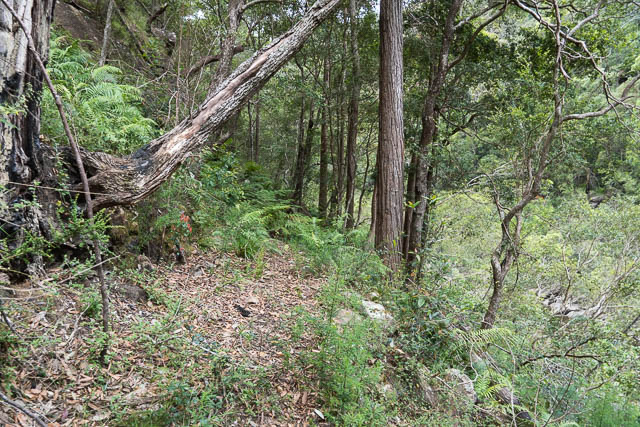
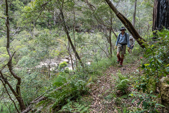
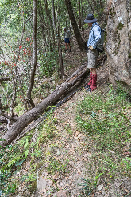
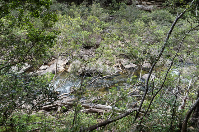
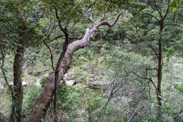
The Grose River is quite rough here –

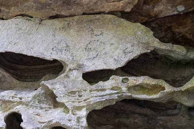
At one place, Bob noticed some charcoal inscriptions in a small overhang.
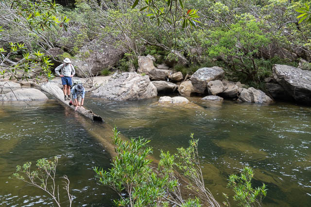
Then we tried to find a better crossing spot. The best we could come up with was this slippery log –
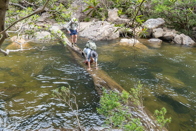
Rather than return the same way. Bob suggested we try a route up the ridge to the west of the Donna Track. Graeme Holbeach had mentioned he had been that way in a post to a bushwalking forum.

We found a steep, scrubby, scrambling pass near the nose. It was slow going at first, and our route only just went. As we climbed our passage became much easier and a lot more open. We had great views looking upstream into the Grose River.
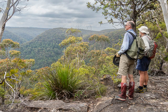
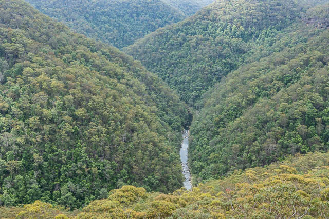
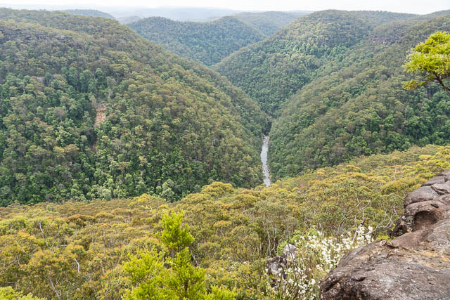
We followed the ridge to where it joined up with the fire road, not too far from the barrier and Bob’s car.
This was quite a strenuous walk, but was very interesting.

Hi David, many thanks for your great postings.
Recently I went down to Grose River fron Faulconbridge Point. But I couldn’t find engineers track at all in spite of multiple tries.
Could you pls provide details on how I can reach Engineers track from Grose Rover?
Then I will try again.
Much appreciated,
Scott
That is one way to reach the track – descend from Faulconbridge Point – the track is at the bottom – close to the river – and on the true right bank all the way. It is overgrown and washed out in places. The section upstream from Wentworth Cave is quite reasonable still at present. Upstream a long way – eg below Mt Hay – the track is very hard to follow. Between Wentworth Ck and Linden Ck – the track was quite good when I visited that area last (back in the 1990’s).
Much appreciated.
So once reached Grose River from Faulconbridge Point, should I go to the right hand side on the rocks with overgrown shrubs and cross the river and head to the left hand to Wentworth Cave?
Thank you,
Scott
Howdy walkers .
Back in 1980 I hiked from near Bilpin at Wirrannina Ridge following a watercourse to Porcupine Creek and then Wilderness Brook and then along the Grose to Yarramundy . I think it took 2 days . I zigzagged from one side of the Grose to the other as I deemed it easiest . I did the same hike again in 2004 . I just watched a youtube video of Berin Mackenzie rafting from Quadling Hill to Faulonbridge point (2017) . I wonder how he got to Quadling Hill with his gear . Anyone know an easy way to Quadling Hill ?