
In September last year, Bob and myself had visited the Bonnie Doon Reserve area at Katoomba. One of our aims then was to look for and hopefully traverse the old tracks that had been made by the original owner of the property – John Britty North. An extensive network of private tracks had been constructed that linked up to the Six Foot Track at Nellys Glen. The tracks were made late in the 19th century.
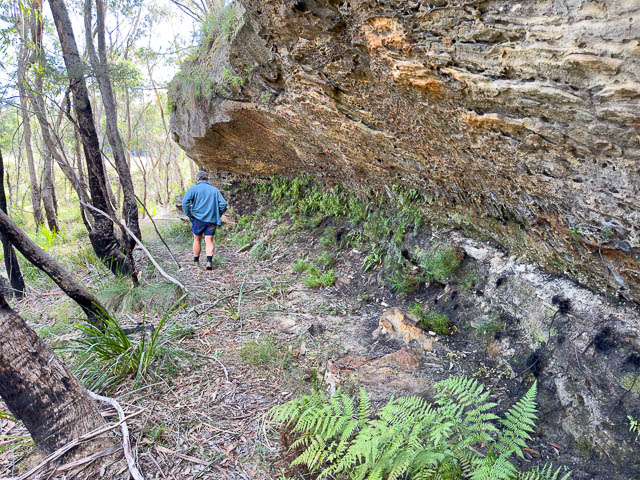
These tracks form a route through some rugged and interesting country, past a series of waterfalls, along narrow ledges, past a large detected pinnacle and up through the heart of gorge to reach the top of the major cliffline. At one point, the track crosses a creek half way up a waterfall on slippery ledge, poised above a precipice.
On the previous trip, we had found the track from the top and followed it down through the first part of the gorge to reach a high waterfall. We had first tried the true left and found there was no possible way to continue. Then we tried the true right and had followed a ledge into a fern filled amphitheatre. In front was a side tributary. A waterfall above barred passage upstream. We eventually found a way across the stream, but could not go much further. But at one point, we looked down and spotted an iron spike part way up a waterfall. So we knew where the route went. We decided to try the route from below, but had to wait a fair while for The Six Foot Track through Nellys Glen to reopen.
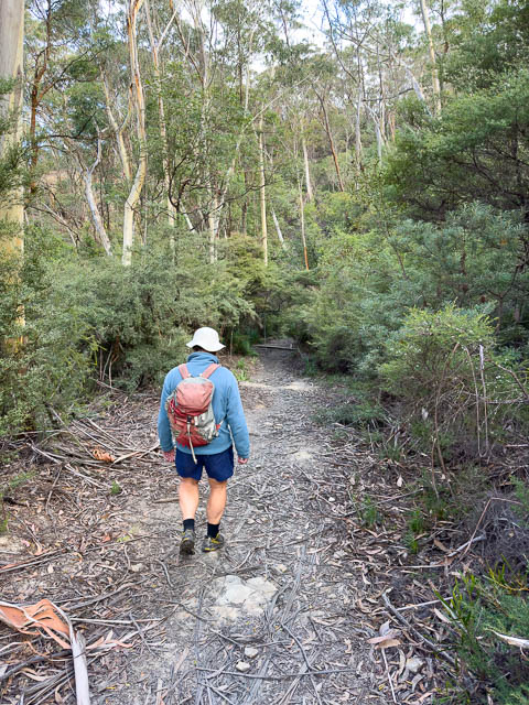
Now we had suitable time to return and explore a bit more. We arrived at the start of the Six Foot Track and were soon heading down towards Nellys Glen.
The Six Foot Track according to old photographs used to zig zag down the cleft. Then it became a road – a supposed bushfire escape route for Megalong residents. But the road was soon washed away and made useless. Then the track was restored, in the 1980’s, with a series of steps.
We were not sure where to turn off the Six Foot Track. The terrain no longer resembles old photos. The first place we tried was too low down, but we could at least get a good view of the lower of the series of Bonnie Doon Falls – Ethel Falls
It was hard to get a clear view of this high waterfall.
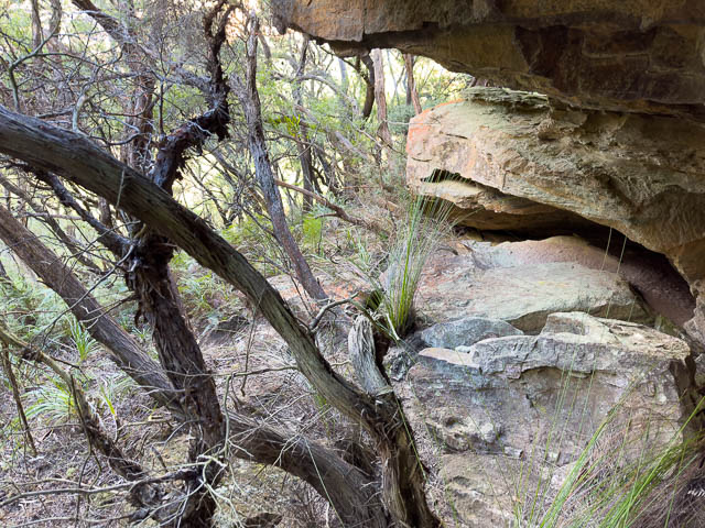
Our next attempt was too high. We found a ledge but it ran out.
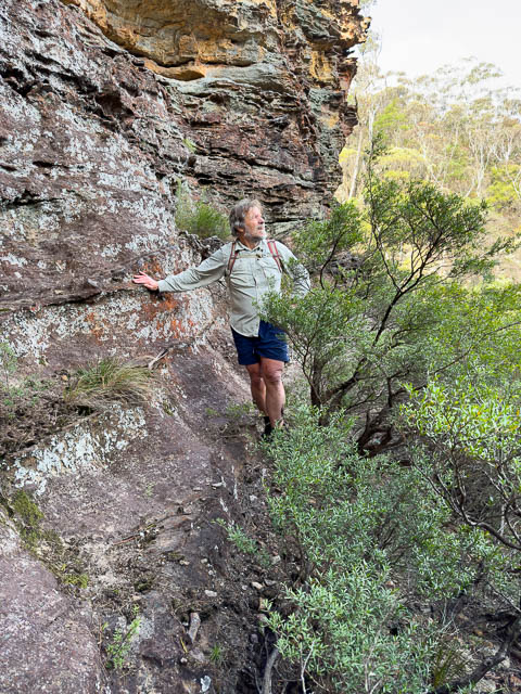
We did a lot more looking, and our persistence paid off, when we found a narrow ledge that led around a corner. This looked promising.
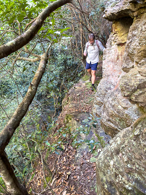
The ledge did lead to easy ground.
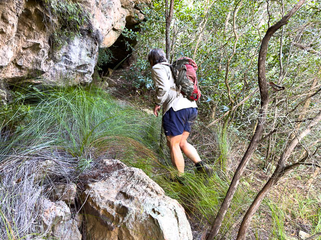
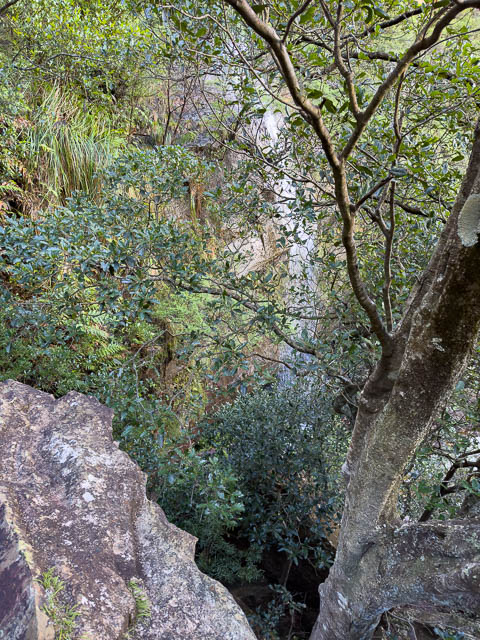
We climbed up through steep but open country to braid area behind a large detached pinnacle. Here there was a length of climbing rope hanging down off it, and a glass bottle.
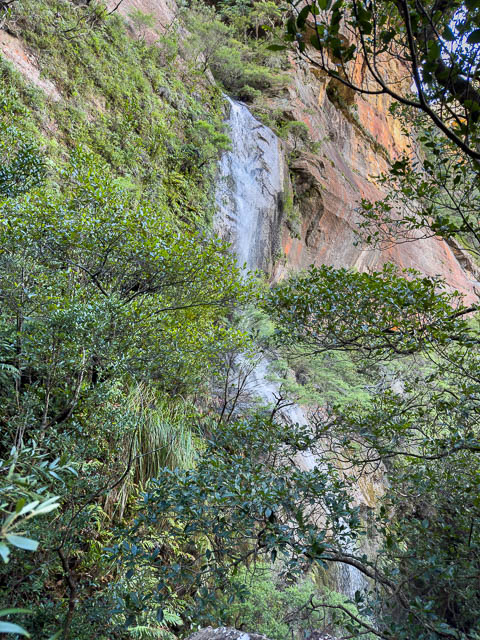
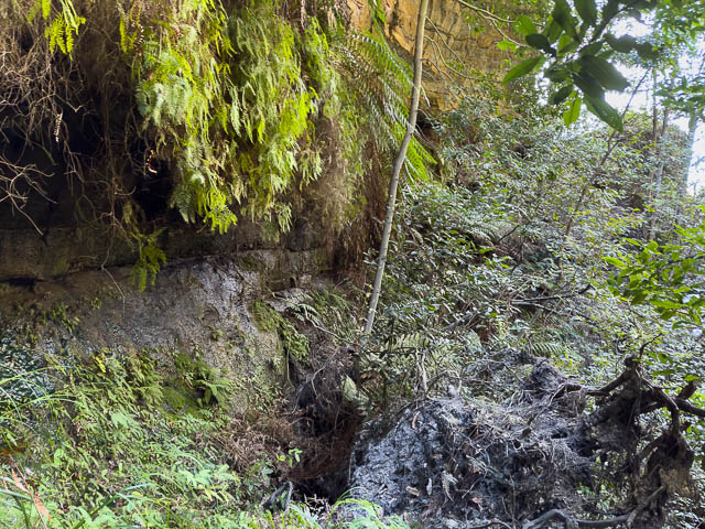
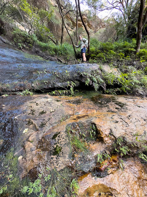
But, just in front, was a second high waterfall (Brides Veil Fall). It was the one with the iron spike. But it was easy to climb down level to the spike. And we found there was a ledge there that we could cross on. You had to be careful though.
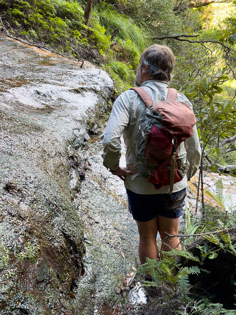
Then we could climb up past the spike on old gouged steps.
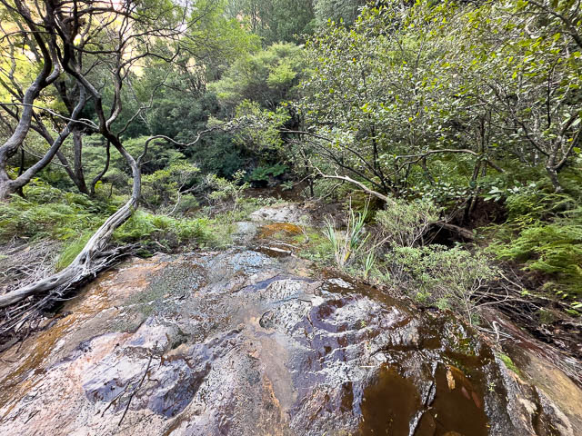
The next photo is looking down the waterfall. It is right next to another waterfall in the main branch of the creek. This crossing would be dangerous during or after rain.
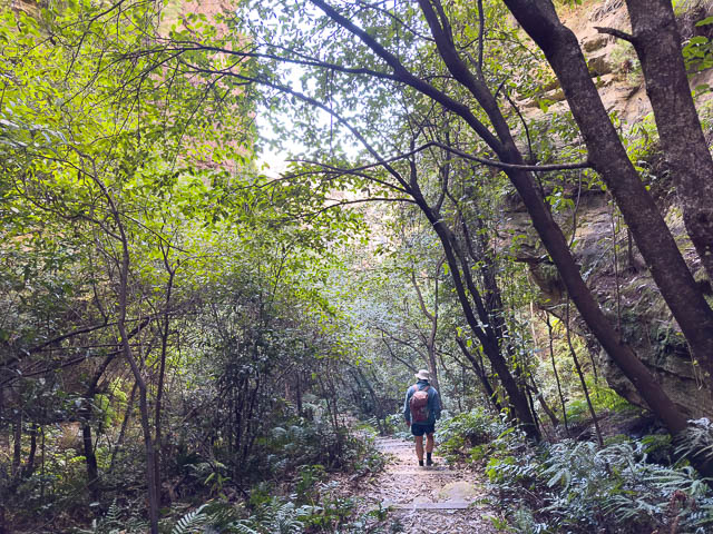
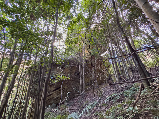
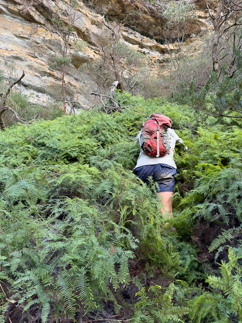
Then we fought our way through a thick and steep fern area to better ground above.
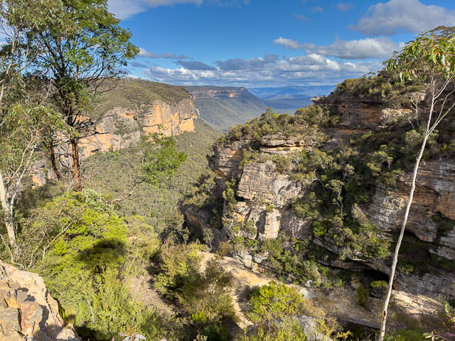
we now had good views –
From here we knew the way to get to the top. I made this map using Bob’s gps trace and Google Earth. the red dashes show our route along the historic track.
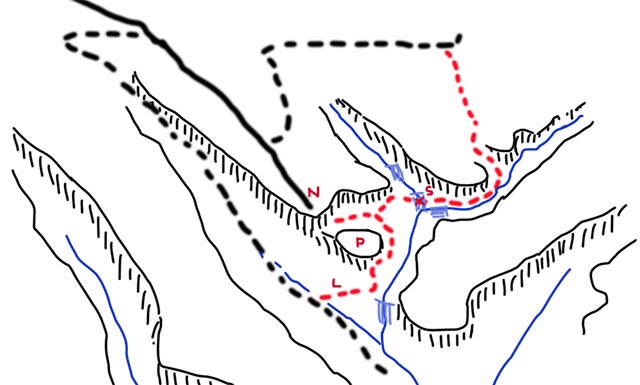
L = ledge, P = pinnacle, S = spike, N – North Lookout.
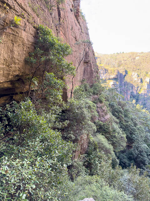
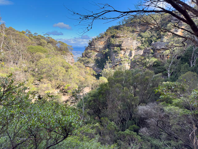
We were soon back on the official track that took us to North Lookout. From there we could look down to where we had been –
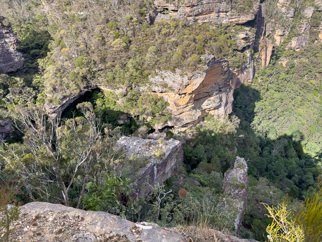
This is the gorge we had travelled up –
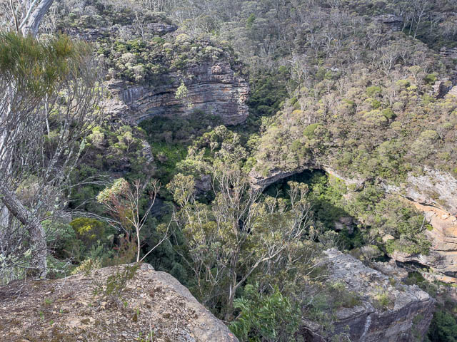
And zooming in you can see our path through the ferns –

We then made our way back to the carpark for lunch. This had been a very interesting and worthwhile walk. It was quite special to experience the old track, and the ingenuity of the original track makers at finding a route through such steep and rugged country.
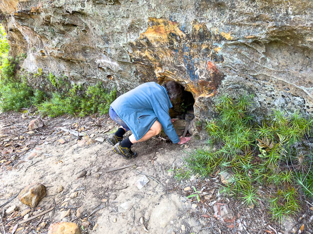
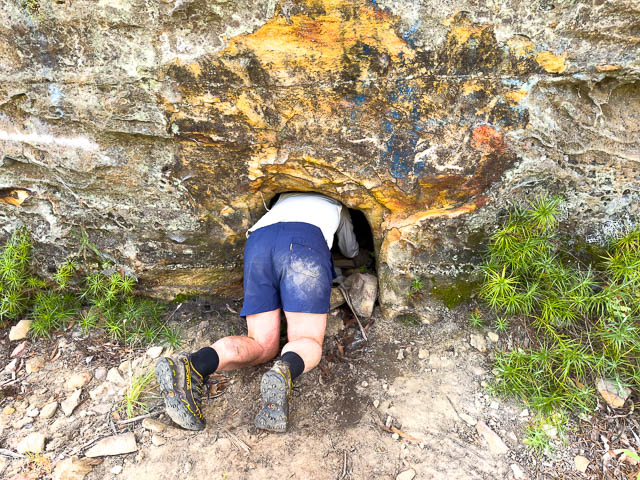
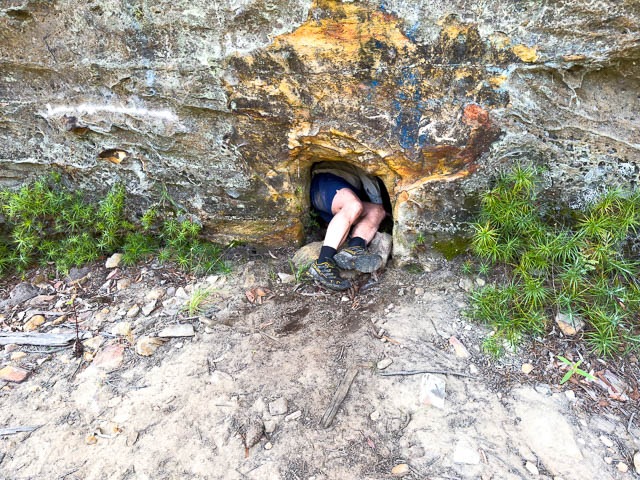
With a bit more time on our hands, on the way down the mountains, we stopped off at Lawson and visited an old silo at the end of Somers Street. It is unusual in that it is a shaft bored into the rock.
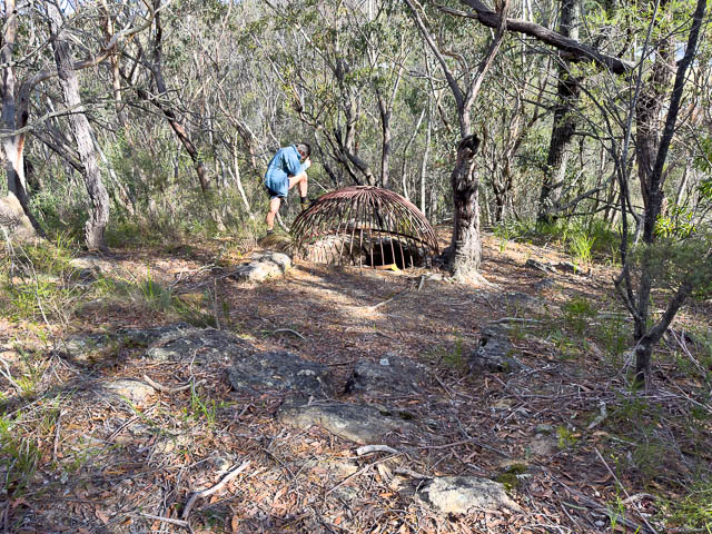
You can read about the history of this silo here.
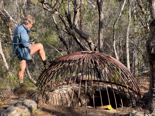
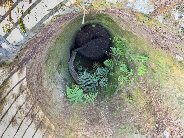
We climbed down the cliff and had a look at its lower entrance –
And we also had a look at this interesting memorial on the old bridge across the now disused railway cutting.
