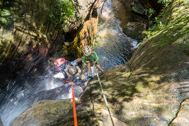
It has been a while since I have done some exploratory canyoning. I know I am getting older and slowing down, but probably the main reason is a lack of resource. I have spent many years exploring remote creeks looking for canyons with some success, but as time goes on the number of creeks left to explore diminishes. And the creeks left are probably less likely to have worthwhile canyons. But the tools available change. When I started exploring canyons in the Wolgan Valley, I used stereo pairs of air photos to look for likely slots. Later further north, I repeated this technique – but made visits to the Lands Department and asked to use their large stereo viewers and then sat down with a few bundles of air photos to look through. After an hour or more, I would leave with markings on my maps that indicated creeks with possible slots. Another friend, Rik, that I did a lot of exploration with used the same technique and we later compared notes and planned a trip. Now with online tools like Google Maps, Google Earth and the Six-Viewer you can access very high resolution air photos of the Blue Mountains. You don’t have the 3D view, but you do have a high resolution.

So its nice to do some armchair canyon exploration at home, studying air photos looking for possible canyons in places you haven’t been to. But the results are not always worthwhile. This was the outcome on this trip. A nice walk, but a poor canyon. Continue reading →