Bruce Cameron has just published his second edition of his book on the Blue Labyrinth. The first edition was published way back in 1992 and this new edition is a major revision with a lot more photographs (many in colour) and a lot more information.

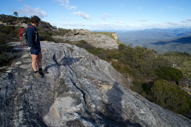
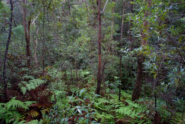
It is called “A History of The Blue Labyrinth, Blue Mountains National Park”. The Blue Labyrinth is that part of the Blue Mountains south of the railway line, north of Lake Burragorang and between the Nepean River and as far up the mountains as Wentworth Falls. It is nearly all part of Blue Mountains National Park. It includes Kings Tableland, Glenbrook Creek and Gorge, Euroka volcanic neck, other volcanic necks such as St Helena and Tobys Glen, well know walking tracks such as Sassafras Gully at Springwood, Terrace Falls at Hazelbrook, Adelina, Junction, Federal and Cataract Falls at Lawson. Many aboriginal sites including the well known Red Hands Cave. Picnic and camping areas such as Ingar. A few small sandstone canyons. Through the heart of the Labyrinth flows Erskine Creek – wild and remote! Continue reading →